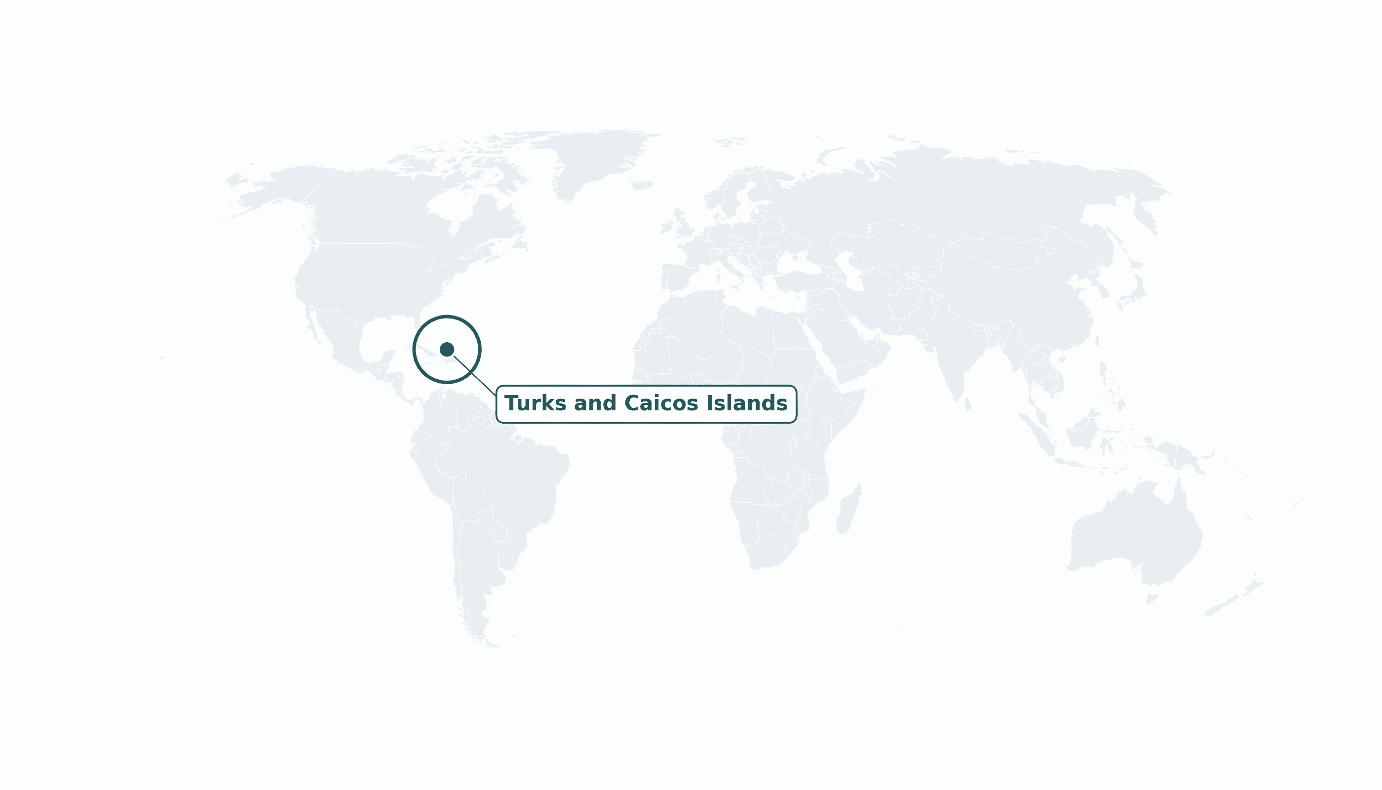
Turks and Caicos Islands is located in the Caribbean region at latitude 21.694 and longitude -71.7979 and is part of the North American continent.
The DMS coordinates for the center of the country are:
- 21° 41' 38'' N
- 71° 47' 52'' W
You can see the location of Turks and Caicos Islands on the world map below:
Maritime Borders
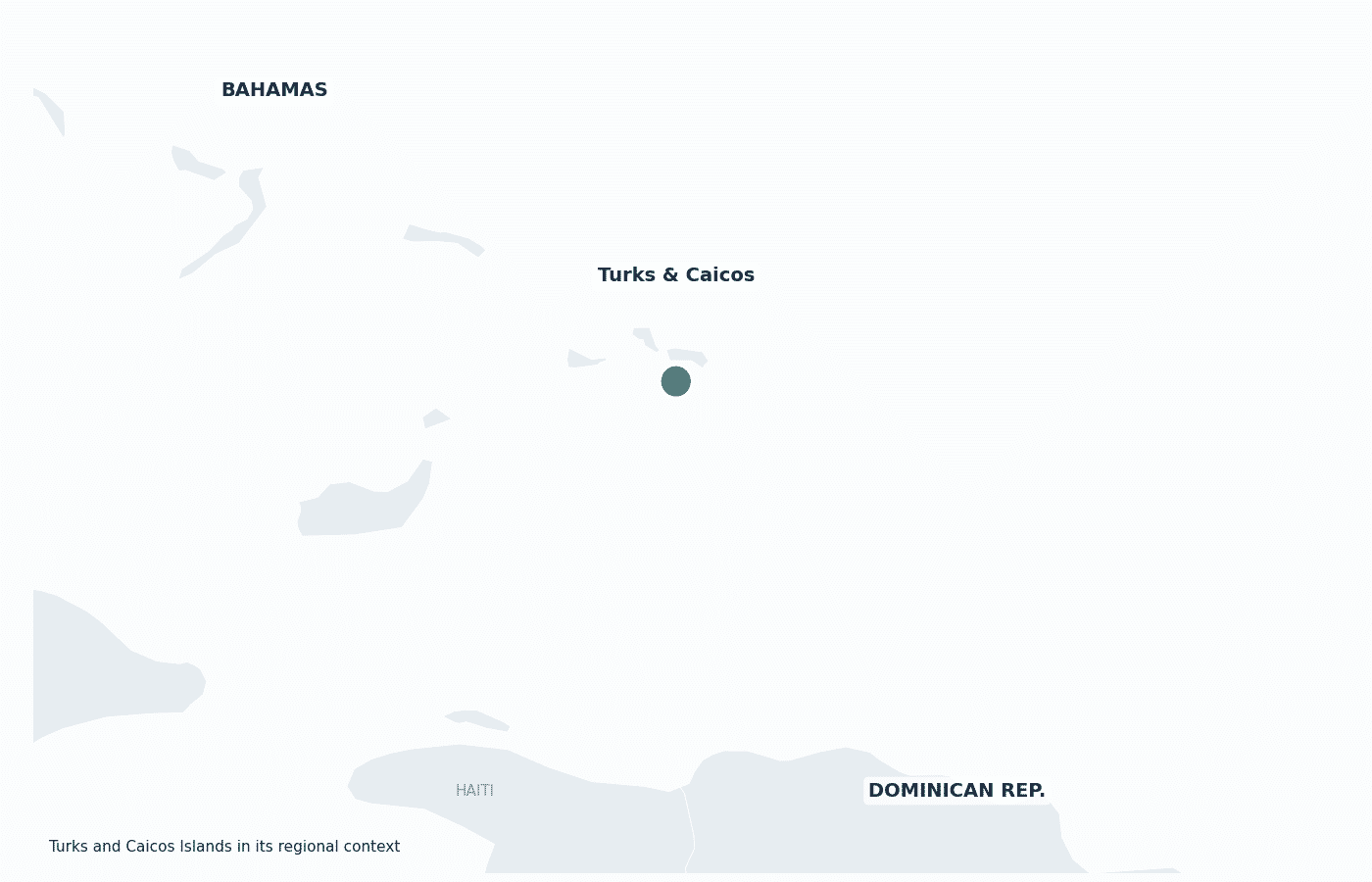
The Turks and Caicos Islands have no land borders; they lie in the Atlantic Ocean southeast of the Bahamas and north of Hispaniola.
Turks and Caicos Islands Key Facts
| Country | Turks and Caicos Islands |
| Coordinates | Latitude: 21.694 Longitude: -71.7979 |
| Country Codes | Alpha 2: TC Alpha 3: TCA |
| Country Flag Emoji | 🇹🇨 |
| Int. Phone Prefix | +1 (649) |
| Capital city | Cockburn Town |
| Continent Subcontinent | North America Caribbean |
| Country Area | 948 sq km |
| Population 2025 | 46,855 World Rank: 204 |
| Median Age | 36 |
| Life expectancy | 78.2 |
| Major languages | English |
| UTC/GMT Time | Number of time zones: 1
|
| Internet TLD | .tc |
| Biggest Airport | Providenciales International Airport (PLS) |
| Average temperature | 27 °C 81 °F |
| Administrative Divisions | Administrative districts |
| Political system | British Overseas Territory |
Turks and Caicos Islands Economy Facts
| World Bank Income Group | High income |
| World Bank Region | Latin America & Caribbean |
| Currency | United States dollar (USD) |
| GDP in 2023 | $1.75 (billions of USD) World Rank: 194 |
| GDP per capita in 2023 | $37,507 World Rank: 45 |
| Major Industries / Economic Sectors | Tourism, offshore financial services, fishing |
| Top 5 Import Countries | United States, United Kingdom, Dominican Republic, Bahamas, Haiti |
| Top 5 Export Countries | United States, United Kingdom, France, Belgium, Japan |
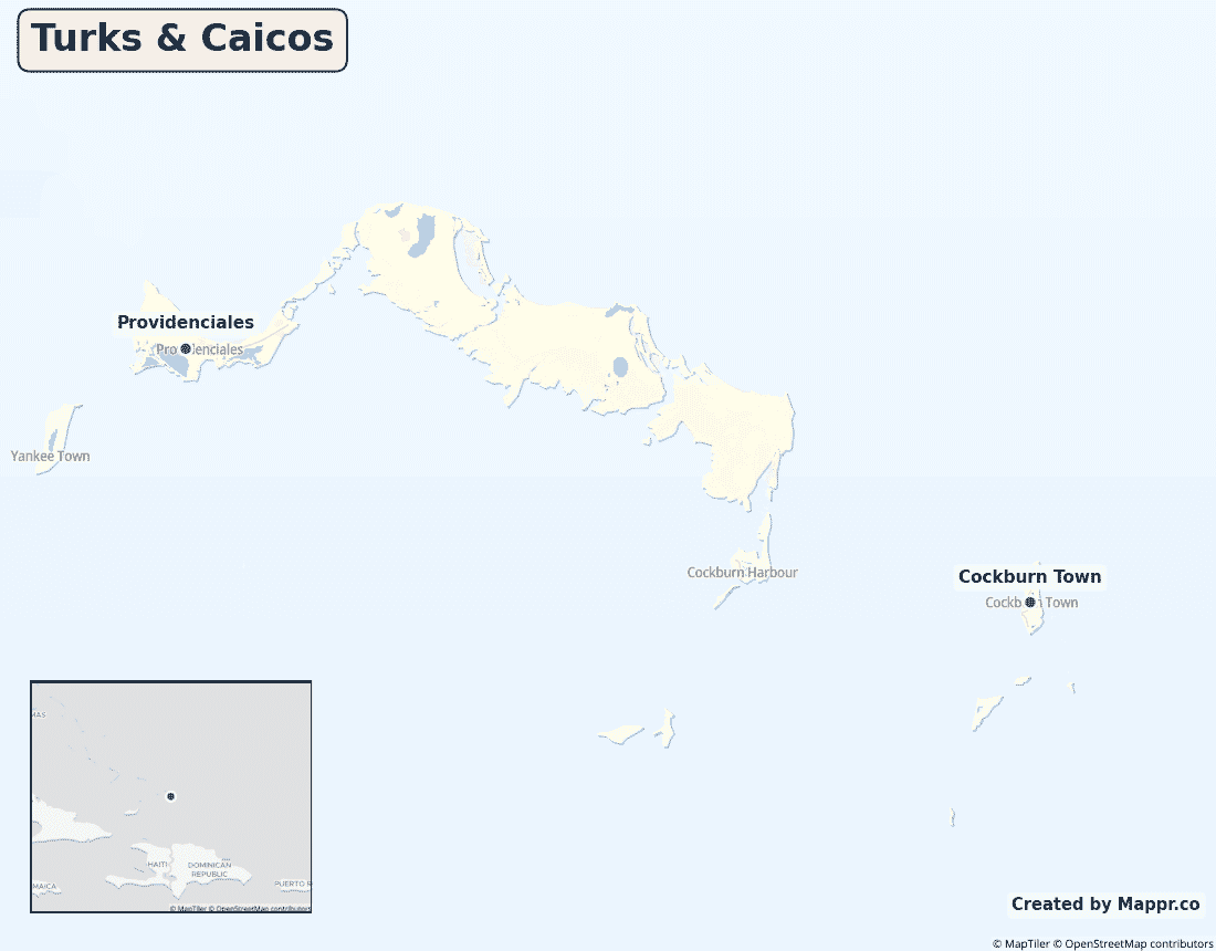
Biggest Cities in Turks and Caicos Islands
Here are the largest cities in Turks and Caicos Islands based on data:
| City | Population |
|---|
| Providenciales | 23,769 | Cockburn Town | 3,720 |
Map of Turks and Caicos Islands with the Largest Cities
Other Countries in the Caribbean Region
- Where are the Bahamas?
- Where are the British Virgin Islands?
- Where are the Cayman Islands?
- Where are the US Virgin Islands?
- Where is Anguilla?
- Where is Antigua and Barbuda?
- Where is Aruba?
- Where is Barbados?
- Where is Bonaire?
- Where is Cuba?
- Where is Curaçao?
- Where is Dominica?
- Where is Grenada?
- Where is Guadeloupe?
- Where is Haiti?
- Where is Jamaica?
- Where is Martinique?
- Where is Montserrat?
- Where is Puerto Rico?
- Where is Saba?
- Where is Saint Barthélemy?
- Where is Saint Kitts and Nevis?
- Where is Saint Lucia?
- Where is Saint Martin?
- Where is Saint Vincent and the Grenadines?
- Where is Sint Eustatius?
- Where is Sint Maarten?
- Where is the Dominican Republic?
- Where is Trinidad and Tobago?
Geography
The Turks and Caicos Islands are two groups of tropical islands — the Caicos Islands and the smaller Turks Islands — lying southeast of the Bahamas and north of the island of Hispaniola, in the Atlantic Ocean at the edge of the Caribbean.
Of around 40 low-lying coral islands and cays, only eight are inhabited; the tourism-driven population is concentrated on Providenciales, while the capital, Cockburn Town, sits on Grand Turk.
Are the Turks and Caicos Islands a country?
The Turks and Caicos Islands are a British Overseas Territory, internally self-governing while the United Kingdom retains responsibility for defence and external affairs. They use the U.S. dollar despite the British link.
| Status | British Overseas Territory |
| Sovereign state | United Kingdom |
| Capital | Cockburn Town |
| Population | 46,535 |
| Area | 948 km² |
| Currency | United States dollar (USD) |
| Official language(s) | English |
| ISO 3166 code | TC / TCA |
| Calling code | +1 (649) |
| Internet TLD | .tc |
Turks and Caicos Islands in its region
The islands lie southeast of the Bahamas and just north of Haiti and the Dominican Republic on the island of Hispaniola.
Climate
The Turks and Caicos enjoy a sunny, dry tropical climate cooled by trade winds, averaging about 27°C (81°F). Rainfall is low for the Caribbean, though the islands lie within the Atlantic hurricane belt.
Economy
The Turks and Caicos economy is built on upmarket tourism, centred on Providenciales, and offshore financial services, with fishing a smaller traditional industry — giving the high-income territory a comfortable GDP per capita.
Administrative divisions
The territory is split into several administrative districts across its inhabited islands, with most government activity centred on Grand Turk and Providenciales.


