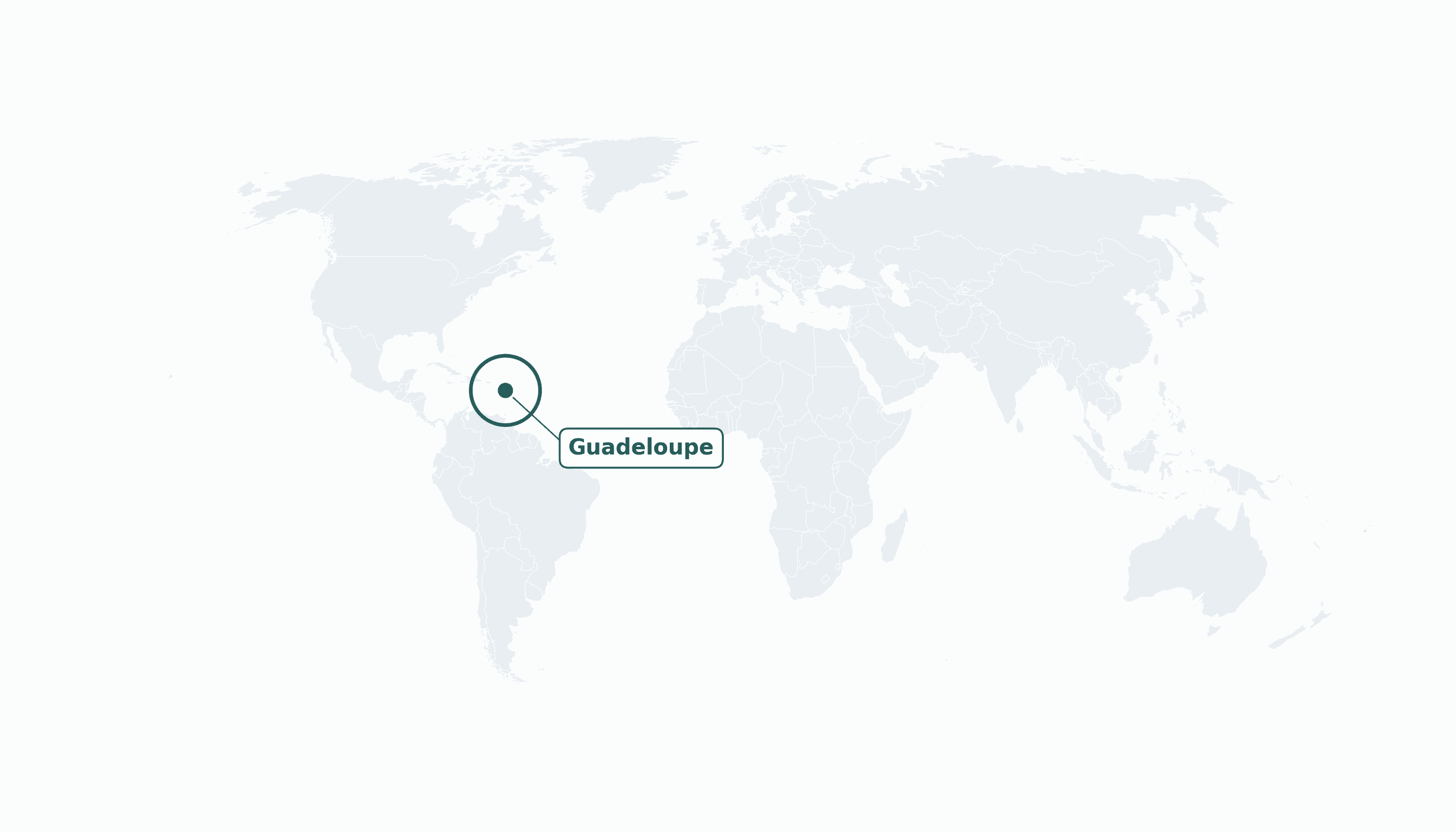
Guadeloupe is located in the Caribbean region at latitude 16.265 and longitude -61.551 and is part of the North American continent.
The DMS coordinates for the center of the country are:
- 16° 15' 54'' N
- 61° 33' 4'' W
You can see the location of Guadeloupe on the world map below:
Maritime Borders
Guadeloupe has no land borders; it is an archipelago in the eastern Caribbean Sea between Antigua and Dominica.
Guadeloupe Key Facts
| Country | Guadeloupe |
| Coordinates | Latitude: 16.265 Longitude: -61.551 |
| Country Codes | Alpha 2: GP Alpha 3: GLP |
| Country Flag Emoji | 🇬🇵 |
| Int. Phone Prefix | +590 |
| Capital city | Basse-Terre |
| Continent Subcontinent | North America Caribbean |
| Country Area | 1628 sq km |
| Population 2023 | 384,000 World Rank: 177 |
| Median Age | 44 |
| Life expectancy | 82.0 |
| Major languages | French (official), Antillean Creole |
| UTC/GMT Time | Number of time zones: 1
|
| Internet TLD | .gp |
| Biggest Airport | Pointe-à-Pitre Int'l Airport (PTP) |
| Average temperature | 26 °C 79 °F |
| Administrative Divisions | 2 arrondissements / 32 communes |
| Political system | Overseas department and region of France |
Guadeloupe Economy Facts
| World Bank Income Group | High income |
| World Bank Region | Latin America & Caribbean |
| Currency | Euro (EUR) |
| GDP in 2023 | $10.2 (billions of USD) World Rank: 158 |
| GDP per capita in 2023 | $24,300 World Rank: 63 |
| Major Industries / Economic Sectors | Tourism, agriculture (bananas, sugar), construction, public sector |
| Top 5 Import Countries | France, Germany, China, United States, Belgium |
| Top 5 Export Countries | France, Martinique, Belgium, Guyana, United States |
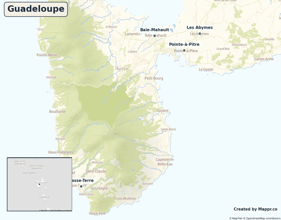
Biggest Cities in Guadeloupe
Here are the largest cities in Guadeloupe based on 2024 data:
| City | Population |
|---|
| Les Abymes | 53,514 | Baie-Mahault | 30,837 | Le Gosier | 28,698 | Petit-Bourg | 24,994 | Sainte-Anne | 22,859 | Le Moule | 22,692 | Sainte-Rose | 20,192 | Capesterre-Belle-Eau | 19,821 | Pointe-à-Pitre | 15,181 | Basse-Terre | 11,472 |
Map of Guadeloupe with the Largest Cities
Other Countries in the Caribbean Region
- Where are the Bahamas?
- Where are the British Virgin Islands?
- Where are the Cayman Islands?
- Where are the Turks and Caicos Islands?
- Where are the US Virgin Islands?
- Where is Anguilla?
- Where is Antigua and Barbuda?
- Where is Aruba?
- Where is Barbados?
- Where is Bonaire?
- Where is Cuba?
- Where is Curaçao?
- Where is Dominica?
- Where is Grenada?
- Where is Haiti?
- Where is Jamaica?
- Where is Martinique?
- Where is Montserrat?
- Where is Puerto Rico?
- Where is Saba?
- Where is Saint Barthélemy?
- Where is Saint Kitts and Nevis?
- Where is Saint Lucia?
- Where is Saint Martin?
- Where is Saint Vincent and the Grenadines?
- Where is Sint Eustatius?
- Where is Sint Maarten?
- Where is the Dominican Republic?
- Where is Trinidad and Tobago?
Geography
Guadeloupe is a butterfly-shaped group of islands in the eastern Caribbean Sea, at the heart of the Lesser Antilles. Its two main wings — mountainous, volcanic Basse-Terre and flatter Grande-Terre — are separated by a narrow sea channel, and several smaller islands complete the group.
Geographically Caribbean, it is constitutionally part of France and the European Union.
Is Guadeloupe a country?
Guadeloupe is an overseas department and region of France and part of the EU, using the euro. Its people are full French and EU citizens, voting in French and European elections.
| Status | Overseas department and region of France |
| Sovereign state | France |
| Capital | Basse-Terre |
| Population | 384,000 |
| Area | 1628 km² |
| Currency | Euro (EUR) |
| Official language(s) | French (official), Antillean Creole |
| ISO 3166 code | GP / GLP |
| Calling code | +590 |
| Internet TLD | .gp |
Climate
Guadeloupe has a warm tropical climate averaging about 26°C (79°F), cooled by trade winds. The wet season and Atlantic hurricane risk run from June to November.
Economy
Guadeloupe’s high-income economy is driven by tourism and agriculture — bananas and sugar cane especially — together with construction and heavy public-sector employment, underpinned by transfers from France.
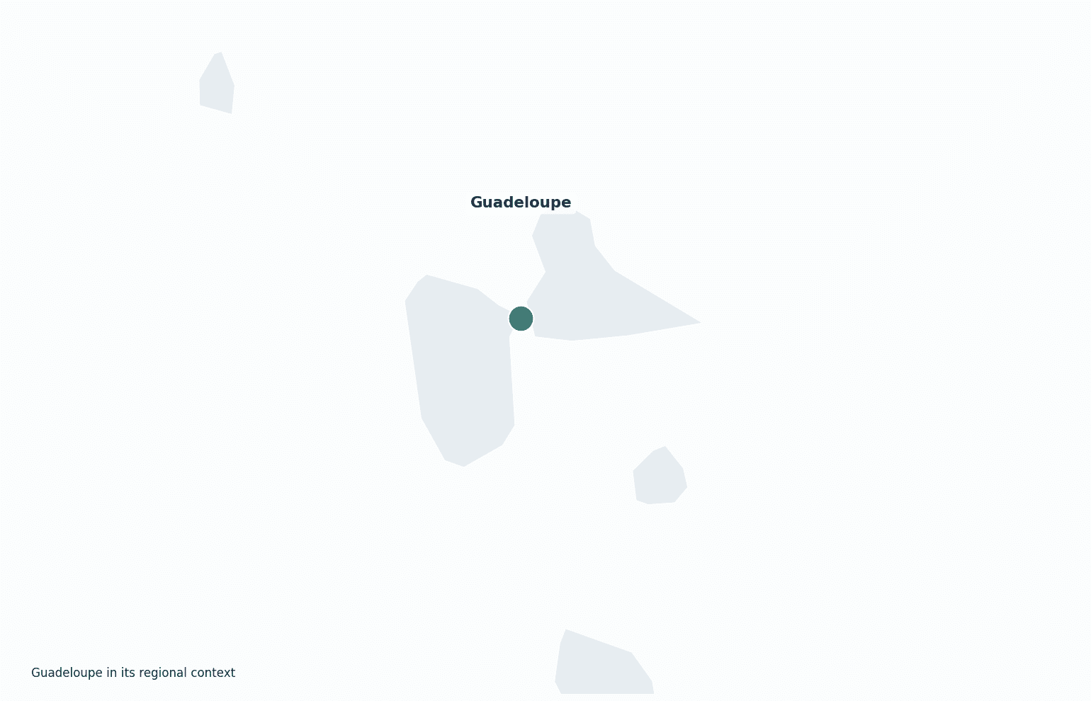
Guadeloupe in its region
Guadeloupe lies between Antigua to the north and Dominica to the south, in the arc of the Lesser Antilles.
Administrative divisions
Guadeloupe is divided into two arrondissements and 32 communes; the capital is Basse-Terre, but the largest urban area is around Pointe-à-Pitre.


