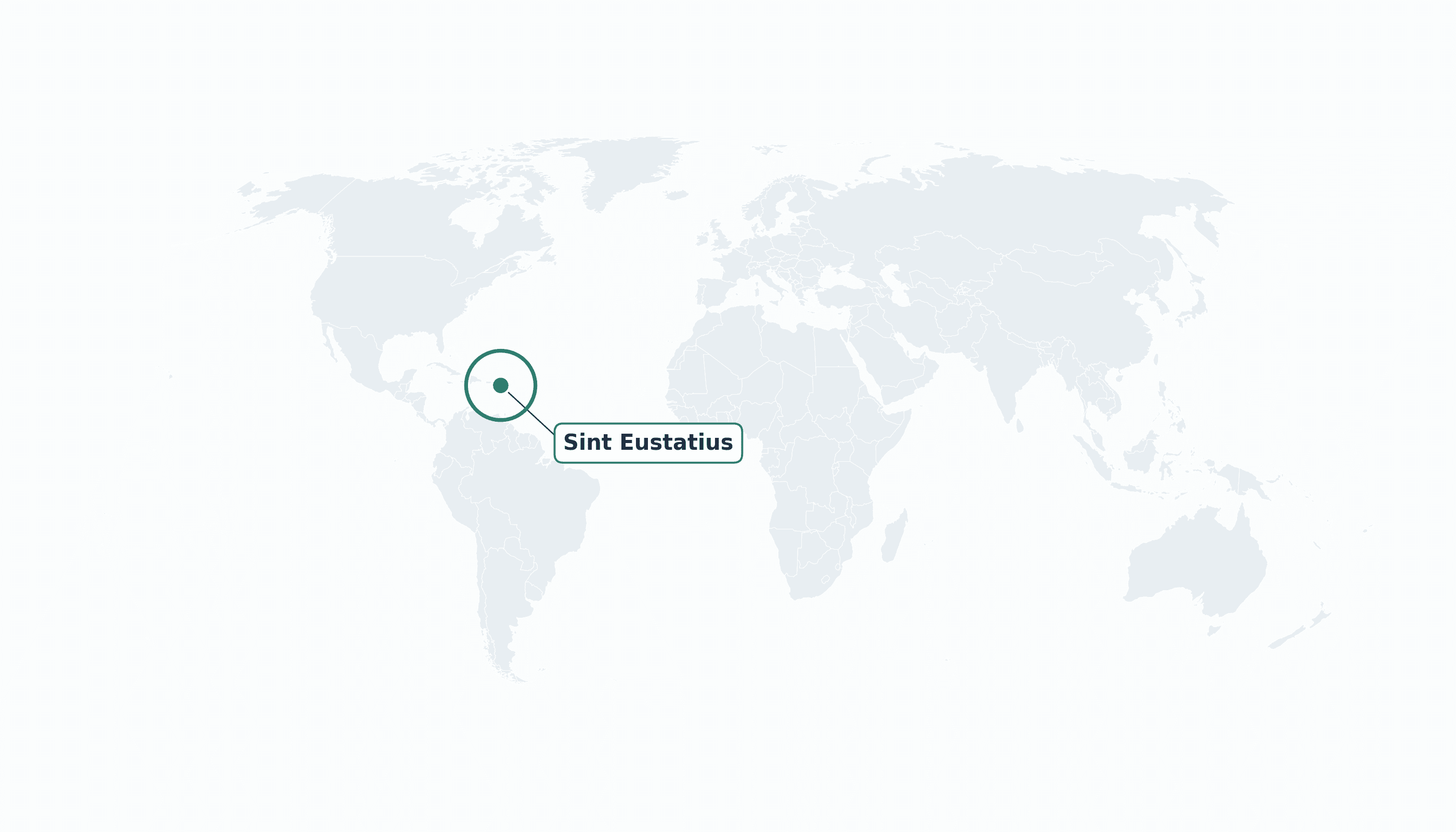
Sint Eustatius is located in the Caribbean region at latitude 17.489 and longitude -62.9736 and is part of the North American continent.
The DMS coordinates for the center of the country are:
- 17° 29' 20'' N
- 62° 58' 25'' W
You can see the location of Sint Eustatius on the world map below:
Maritime Borders
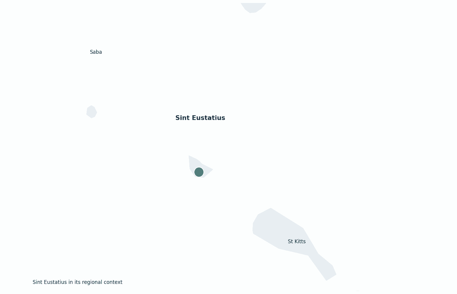
Sint Eustatius has no land borders; it is a small volcanic island in the northeastern Caribbean, southeast of Saba.
Sint Eustatius Key Facts
| Country | Sint Eustatius |
| Coordinates | Latitude: 17.489 Longitude: -62.9736 |
| Country Codes | Alpha 2: BQ Alpha 3: BES |
| Country Flag Emoji | 🇧🇶 |
| Int. Phone Prefix | +599 |
| Capital city | Oranjestad |
| Continent Subcontinent | North America Caribbean |
| Country Area | 21 sq km |
| Population 2023 | 3,500 World Rank: 218 |
| Median Age | 38 |
| Life expectancy | 78.0 |
| Major languages | Dutch (official), English |
| UTC/GMT Time | Number of time zones: 1
|
| Internet TLD | .bq |
| Biggest Airport | F.D. Roosevelt Airport (EUX) |
| Average temperature | 27 °C 81 °F |
| Administrative Divisions | Special municipality (no subdivisions) |
| Political system | Special municipality of the Netherlands (Caribbean Netherlands) |
Sint Eustatius Economy Facts
| World Bank Income Group | High income |
| World Bank Region | Latin America & Caribbean |
| Currency | United States dollar (USD) |
| GDP in 2023 | $0.13 (billions of USD) World Rank: 214 |
| GDP per capita in 2023 | $37,000 World Rank: 45 |
| Major Industries / Economic Sectors | Oil transshipment terminal, tourism, public sector |
| Top 5 Import Countries | United States, Netherlands, Sint Maarten |
| Top 5 Export Countries | Netherlands, United States |
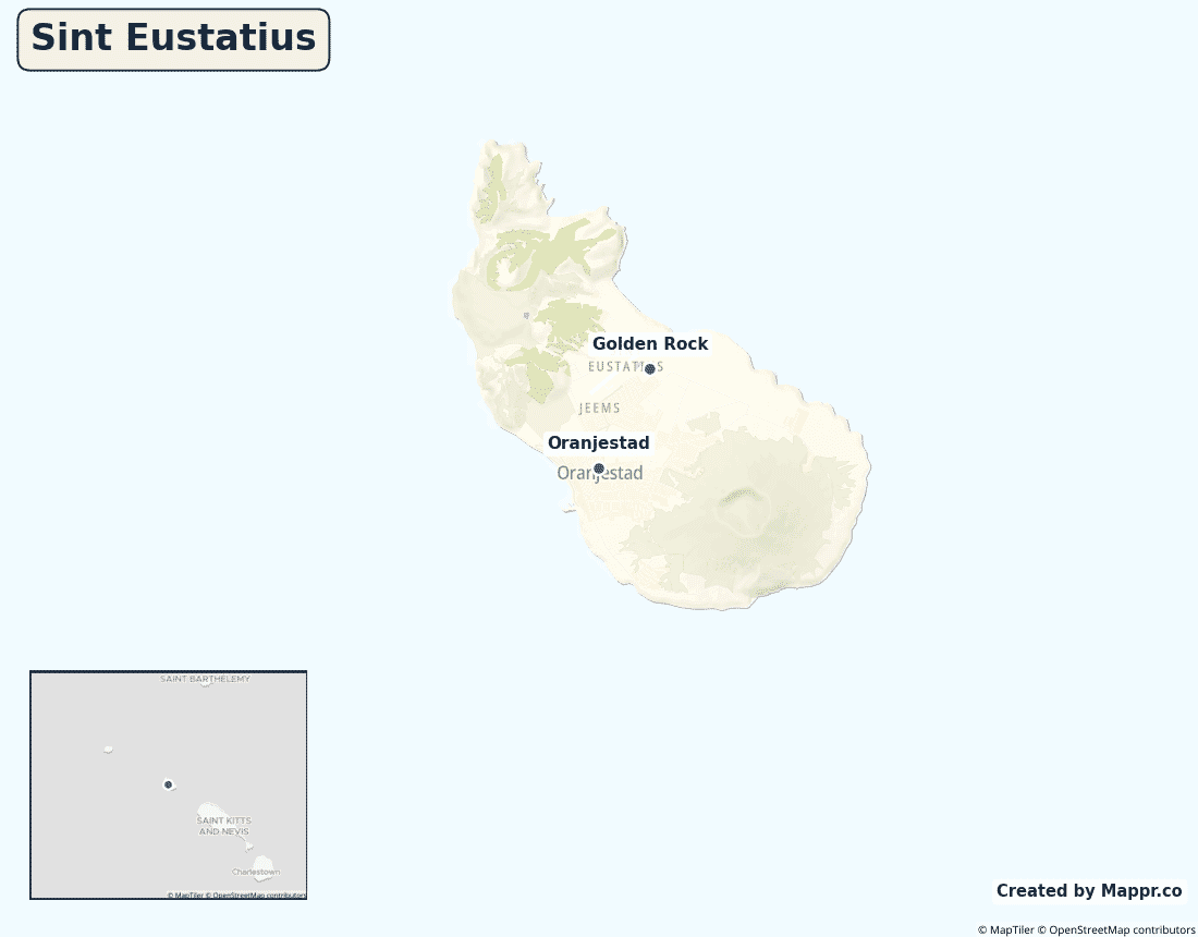
Biggest Cities in Sint Eustatius
Here are the largest cities in Sint Eustatius based on data:
| City | Population |
|---|
| Oranjestad | 1,050 | Golden Rock | 600 |
Map of Sint Eustatius with the Largest Cities
Other Countries in the Caribbean Region
- Where are the Bahamas?
- Where are the British Virgin Islands?
- Where are the Cayman Islands?
- Where are the Turks and Caicos Islands?
- Where are the US Virgin Islands?
- Where is Anguilla?
- Where is Antigua and Barbuda?
- Where is Aruba?
- Where is Barbados?
- Where is Bonaire?
- Where is Cuba?
- Where is Curaçao?
- Where is Dominica?
- Where is Grenada?
- Where is Guadeloupe?
- Where is Haiti?
- Where is Jamaica?
- Where is Martinique?
- Where is Montserrat?
- Where is Puerto Rico?
- Where is Saba?
- Where is Saint Barthélemy?
- Where is Saint Kitts and Nevis?
- Where is Saint Lucia?
- Where is Saint Martin?
- Where is Saint Vincent and the Grenadines?
- Where is Sint Maarten?
- Where is the Dominican Republic?
- Where is Trinidad and Tobago?
Geography
Sint Eustatius — “Statia” — is a small volcanic island in the northeastern Caribbean, southeast of Saba and northwest of St Kitts. It is dominated by the dormant Quill volcano, whose crater holds a lush rainforest.
Once one of the busiest trading ports in the world (“the Golden Rock”), today it is quiet, with a large oil-storage terminal offshore.
Are the Sint Eustatius a country?
Sint Eustatius is a special municipality of the Netherlands, part of the Caribbean Netherlands. Residents are Dutch citizens and use the U.S. dollar.
| Status | Special municipality of the Netherlands (Caribbean Netherlands) |
| Sovereign state | Netherlands |
| Capital | Oranjestad |
| Population | 3,500 |
| Area | 21 km² |
| Currency | United States dollar (USD) |
| Official language(s) | Dutch (official), English |
| ISO 3166 code | BQ / BES |
| Calling code | +599 |
| Internet TLD | .bq |
Climate
Sint Eustatius has a warm tropical climate averaging about 27°C (81°F), with a wetter, hurricane-prone season from June to November.
Economy
Statia’s economy centres on a major oil-storage and transshipment terminal, alongside modest tourism and a large public sector.
Sint Eustatius in its region
Statia lies southeast of Saba and northwest of St Kitts, in the northern Leeward Islands.
Administrative divisions
As a special municipality of the Netherlands, Sint Eustatius has no subdivisions; Oranjestad is its capital and main town.


