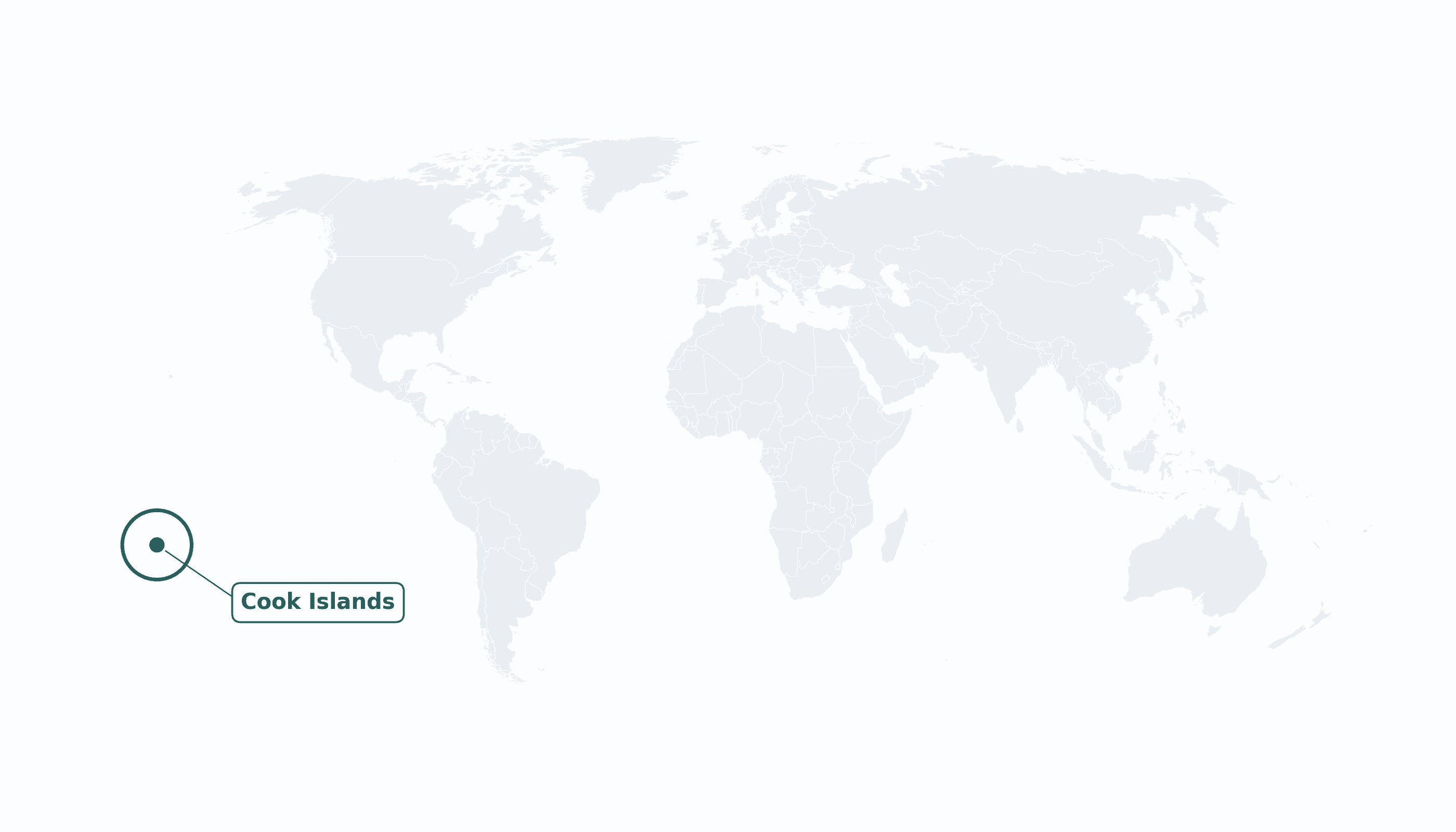
Cook Islands is located in the Australia and Oceania region at latitude -21.2367 and longitude -159.7777 and is part of the Oceania region.
The DMS coordinates for the center of the country are:
- 21° 14' 12'' S
- 159° 46' 40'' W
You can see the location of Cook Islands on the world map below:
Maritime Borders
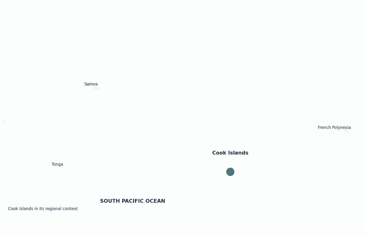
The Cook Islands have no land borders; they are scattered across the South Pacific Ocean between French Polynesia and Tonga.
Cook Islands Key Facts
| Country | Cook Islands |
| Coordinates | Latitude: -21.2367 Longitude: -159.7777 |
| Country Codes | Alpha 2: CK Alpha 3: COK |
| Country Flag Emoji | 🇨🇰 |
| Int. Phone Prefix | +682 |
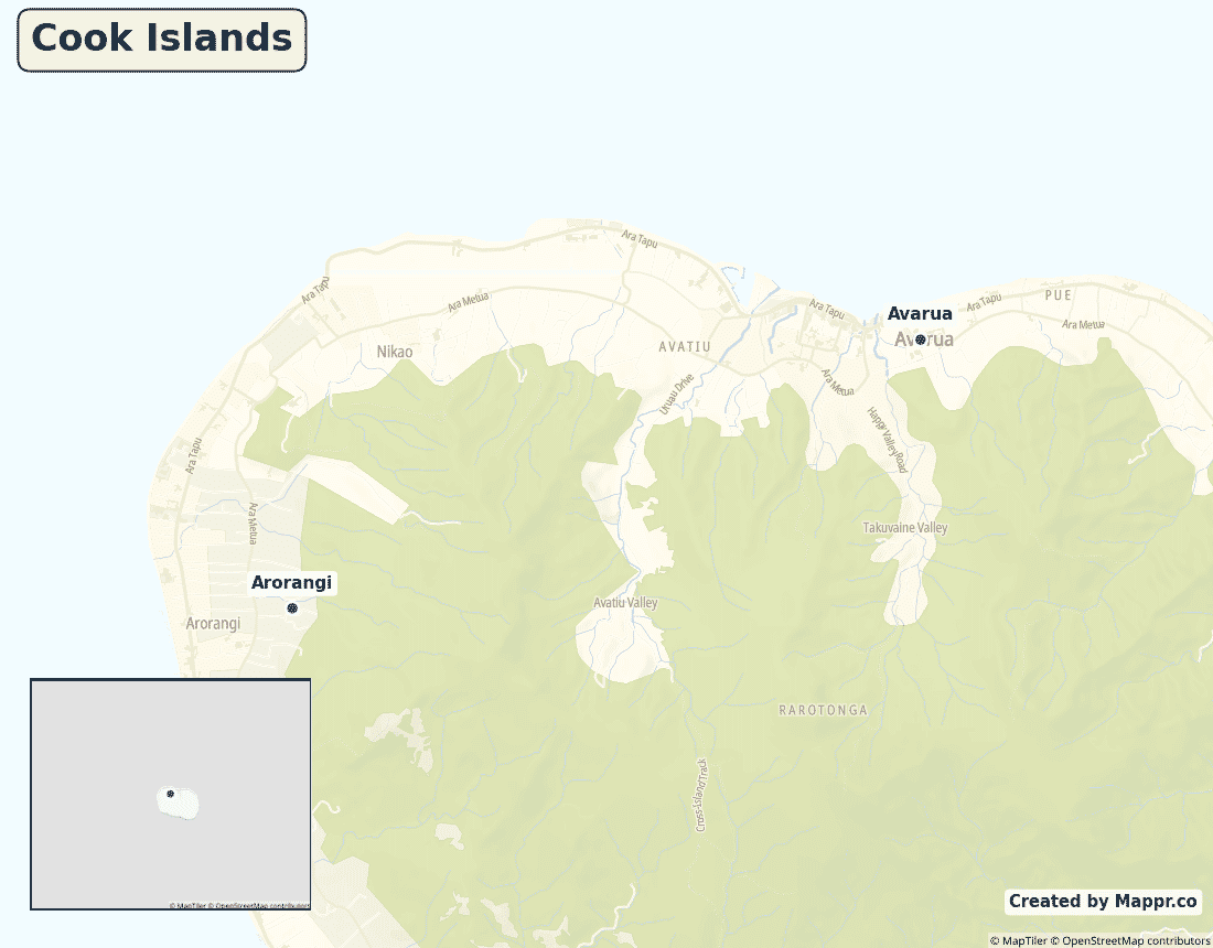
| Capital city | Avarua |
| Continent Subcontinent | Oceania Australia and Oceania |
| Country Area | 236 sq km |
| Population 2023 | 15,040 World Rank: 216 |
| Median Age | 37 |
| Life expectancy | 76.0 |
| Major languages | English, Cook Islands Māori (both official) |
| UTC/GMT Time | Number of time zones: 1
|
| Internet TLD | .ck |
| Biggest Airport | Rarotonga Int'l Airport (RAR) |
| Average temperature | 25 °C 77 °F |
| Administrative Divisions | Island councils (Rarotonga + outer islands) |
| Political system | Self-governing state in free association with New Zealand |
Cook Islands Economy Facts
| World Bank Income Group | High income |
| World Bank Region | East Asia & Pacific |
| Currency | New Zealand dollar (NZD) |
| GDP in 2023 | $0.62 (billions of USD) World Rank: 208 |
| GDP per capita in 2023 | $41,000 World Rank: 39 |
| Major Industries / Economic Sectors | Tourism, fishing, black pearls, offshore finance |
| Top 5 Import Countries | New Zealand, China, Fiji, Australia, United States |
| Top 5 Export Countries | New Zealand, Japan, Australia, Thailand |
Biggest Cities in Cook Islands
Here are the largest cities in Cook Islands based on 2024 data:
| City | Population |
|---|
| Avarua | 13,373 |
Map of Cook Islands with the Largest Cities
Other Countries in the Australia and Oceania Region
- Where are the Marshall Islands?
- Where are the Northern Mariana Islands?
- Where are the Pitcairn Islands?
- Where are the Solomon Islands?
- Where is American Samoa?
- Where is Australia?
- Where is Fiji?
- Where is French Polynesia?
- Where is Guam?
- Where is Kiribati?
- Where is Micronesia?
- Where is Nauru?
- Where is New Caledonia?
- Where is New Zealand?
- Where is Niue?
- Where is Norfolk Island?
- Where is Palau?
- Where is Papua New Guinea?
- Where is Samoa?
- Where is Tokelau?
- Where is Tonga?
- Where is Tuvalu?
- Where is Vanuatu?
- Where is Wallis and Futuna?
Geography
The Cook Islands are 15 small islands scattered across nearly two million square kilometres of the South Pacific Ocean, roughly between Tonga to the west and French Polynesia to the east. The main island, Rarotonga, holds the capital and most of the population.
Though tiny in land area, the country controls a vast ocean territory rich in fisheries.
Are the Cook Islands a country?
The Cook Islands are not a fully independent country but a self-governing state in free association with New Zealand. They run their own government and foreign affairs, while Cook Islanders are New Zealand citizens and New Zealand assists with defence.
| Status | Self-governing state in free association with New Zealand |
| Sovereign state | New Zealand |
| Capital | Avarua |
| Population | 15,040 |
| Area | 236 km² |
| Currency | New Zealand dollar (NZD) |
| Official language(s) | English, Cook Islands Māori (both official) |
| ISO 3166 code | CK / COK |
| Calling code | +682 |
| Internet TLD | .ck |
Climate
The Cook Islands have a warm tropical climate averaging about 25°C (77°F), with a hotter, wetter and cyclone-prone season from November to March.
Economy
The Cook Islands’ high-income economy is overwhelmingly driven by tourism, supplemented by fishing, black-pearl farming and offshore financial services. Most visitors and trade come via New Zealand.
Cook Islands in its region
The Cook Islands lie in the central South Pacific, with French Polynesia to the east and Fiji and Tonga to the west.
Administrative divisions
The Cook Islands are administered through island councils, with Avarua on Rarotonga serving as the national capital and main town.


