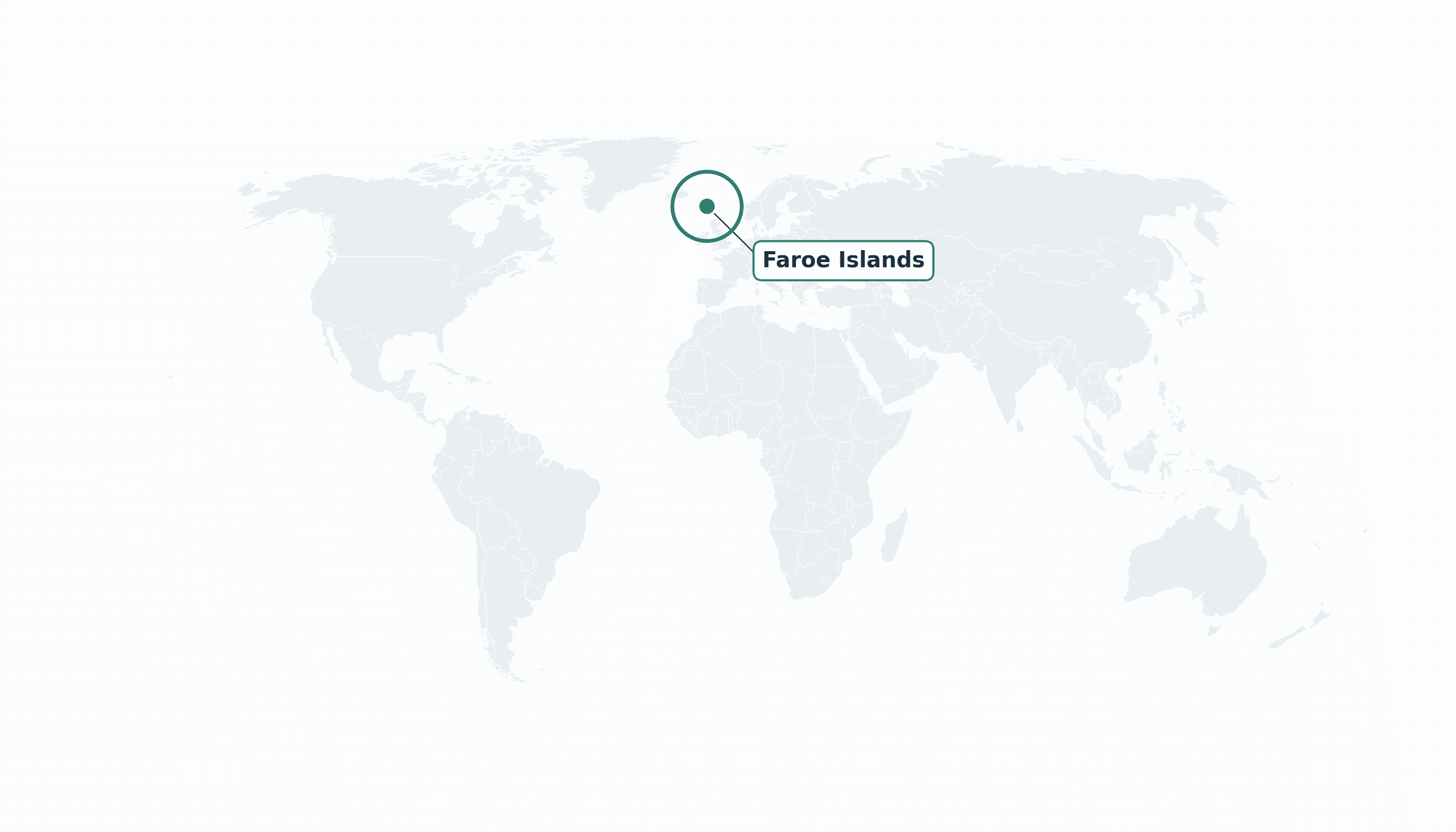
Faroe Islands is located in the Northern Europe region at latitude 61.8926 and longitude -6.9118 and is part of the European continent.
The DMS coordinates for the center of the country are:
- 61° 53' 33'' N
- 6° 54' 42'' W
You can see the location of Faroe Islands on the world map below:
Maritime Borders
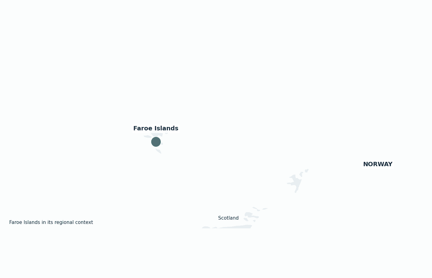
The Faroe Islands have no land borders; they lie in the North Atlantic Ocean between Iceland, Norway and Scotland.
Faroe Islands Key Facts
| Country | Faroe Islands |
| Coordinates | Latitude: 61.8926 Longitude: -6.9118 |
| Country Codes | Alpha 2: FO Alpha 3: FRO |
| Country Flag Emoji | 🇫🇴 |
| Int. Phone Prefix | +298 |
| Capital city | Tórshavn |
| Continent Subcontinent | Europe Northern Europe |
| Country Area | 1396 sq km |
| Population 2025 | 54,900 World Rank: 202 |
| Median Age | 38 |
| Life expectancy | 83.1 |
| Major languages | Faroese, Danish (both official) |
| UTC/GMT Time | Number of time zones: 1
|
| Internet TLD | .fo |
| Biggest Airport | Vágar Airport (FAE) |
| Average temperature | 7 °C 45 °F |
| Administrative Divisions | Municipalities (6 traditional regions) |
| Political system | Autonomous territory within the Kingdom of Denmark |
Faroe Islands Economy Facts
| World Bank Income Group | High income |
| World Bank Region | Europe & Central Asia |
| Currency | Faroese króna (Danish krone) (DKK) |
| GDP in 2023 | $4.05 (billions of USD) World Rank: 175 |
| GDP per capita in 2023 | $74,175 World Rank: 16 |
| Major Industries / Economic Sectors | Fishing and fish farming, fish processing, tourism, shipping |
| Top 5 Import Countries | Denmark, Norway, Germany, China, Poland |
| Top 5 Export Countries | Russia, United Kingdom, Germany, United States, Denmark |
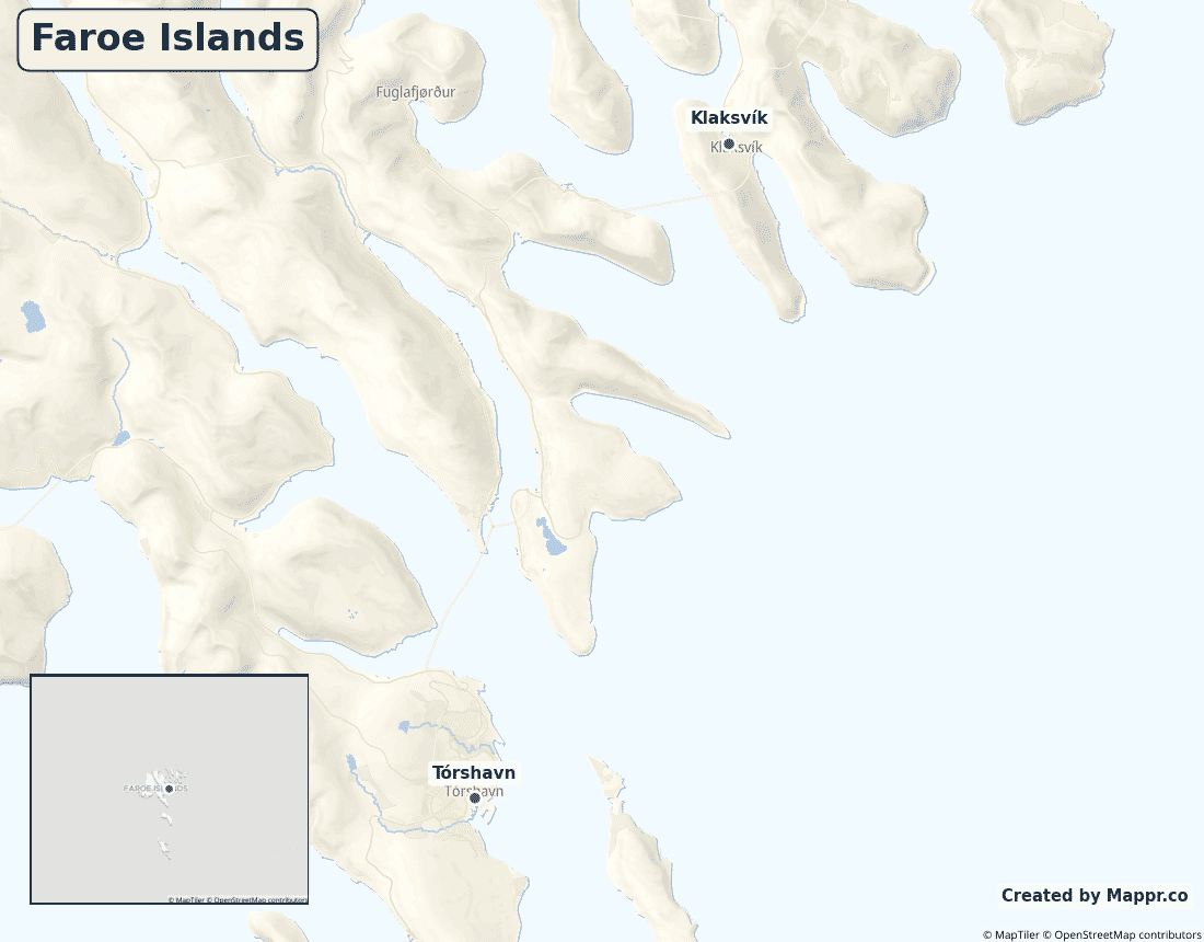
Biggest Cities in Faroe Islands
Here are the largest cities in Faroe Islands based on 2024 data:
| City | Population |
|---|
| Tórshavn | 13,200 |
Map of Faroe Islands with the Largest Cities
Other Countries in the Northern Europe Region
Geography
The Faroe Islands are an archipelago of 18 rugged volcanic islands in the North Atlantic, roughly halfway between Iceland and Norway and north of Scotland. They cover about 1,400 square kilometres.
Steep sea cliffs, deep fjords and grass-roofed villages define the landscape, while the warming influence of the Gulf Stream keeps the climate mild but famously wet and windy for the latitude.
Are the Faroe Islands a country?
The Faroe Islands are a self-governing autonomous territory within the Kingdom of Denmark. The Faroese run nearly all of their own affairs and, like Greenland, the islands are not part of the European Union despite Denmark’s membership.
| Status | Autonomous territory within the Kingdom of Denmark |
| Sovereign state | Denmark |
| Capital | Tórshavn |
| Population | 54,681 |
| Area | 1396 km² |
| Currency | Faroese króna (Danish krone) (DKK) |
| Official language(s) | Faroese, Danish (both official) |
| ISO 3166 code | FO / FRO |
| Calling code | +298 |
| Internet TLD | .fo |
Faroe Islands in its region
The Faroes sit in the open North Atlantic, with Iceland to the northwest, Norway to the east and Scotland to the south.
Climate
The Faroes have a cool, wet and very windy subpolar oceanic climate, averaging only about 7°C (45°F). Thanks to the Gulf Stream the temperature is remarkably stable year-round, but fog, rain and overcast skies are the norm.
Economy
The Faroese economy lives and dies by fish: fishing and salmon farming account for the overwhelming majority of exports. It is a high-income economy, but its reliance on a single sector leaves it sensitive to quotas and market prices.
Administrative divisions
The islands are organised into around 30 municipalities, grouped traditionally into six regions, with about a third of the population living in the capital, Tórshavn.


