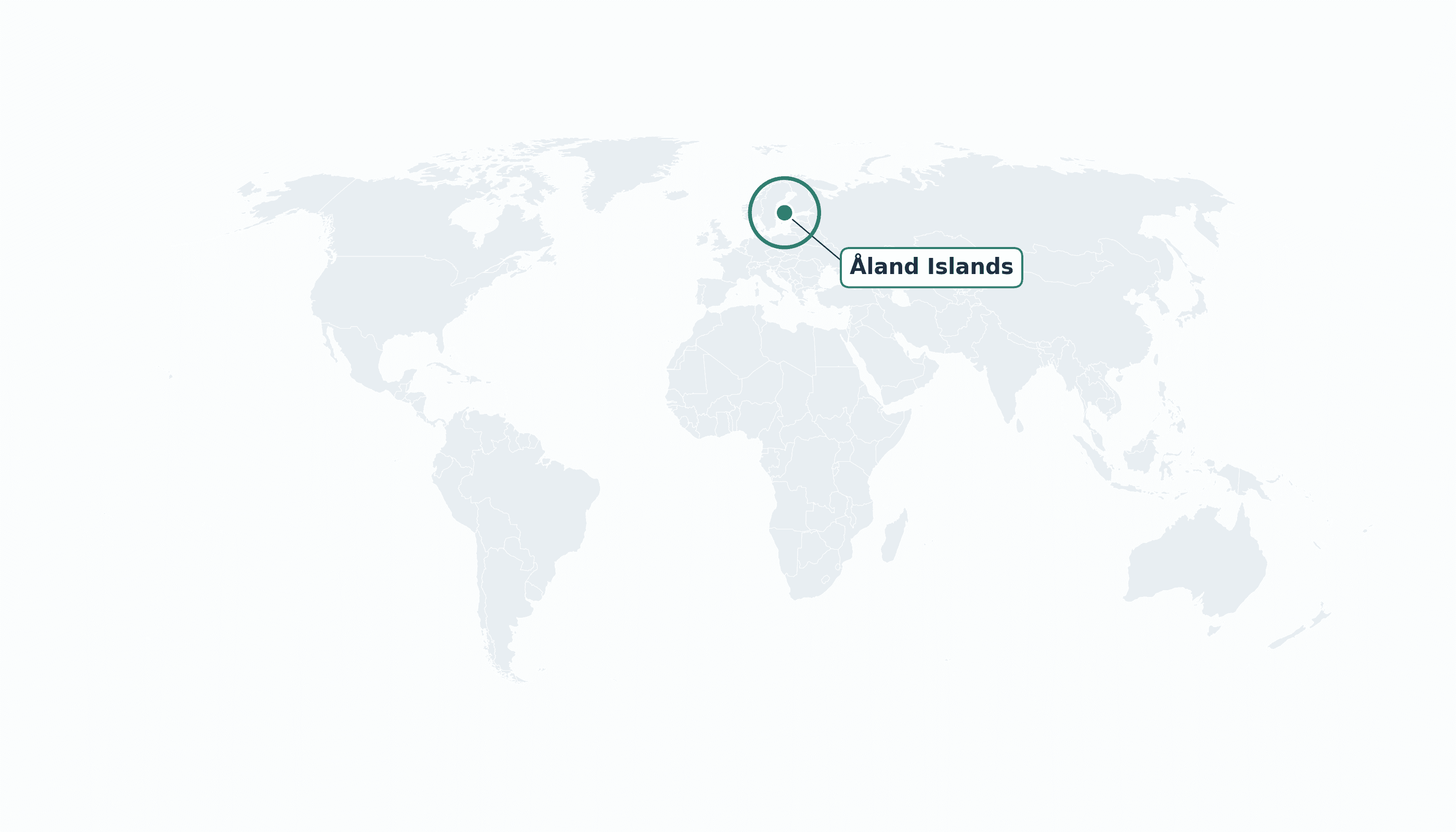
Åland Islands is located in the Northern Europe region at latitude 60.1785 and longitude 19.9156 and is part of the European continent.
The DMS coordinates for the center of the country are:
- 60° 10' 43'' N
- 19° 54' 56'' E
You can see the location of Åland Islands on the world map below:
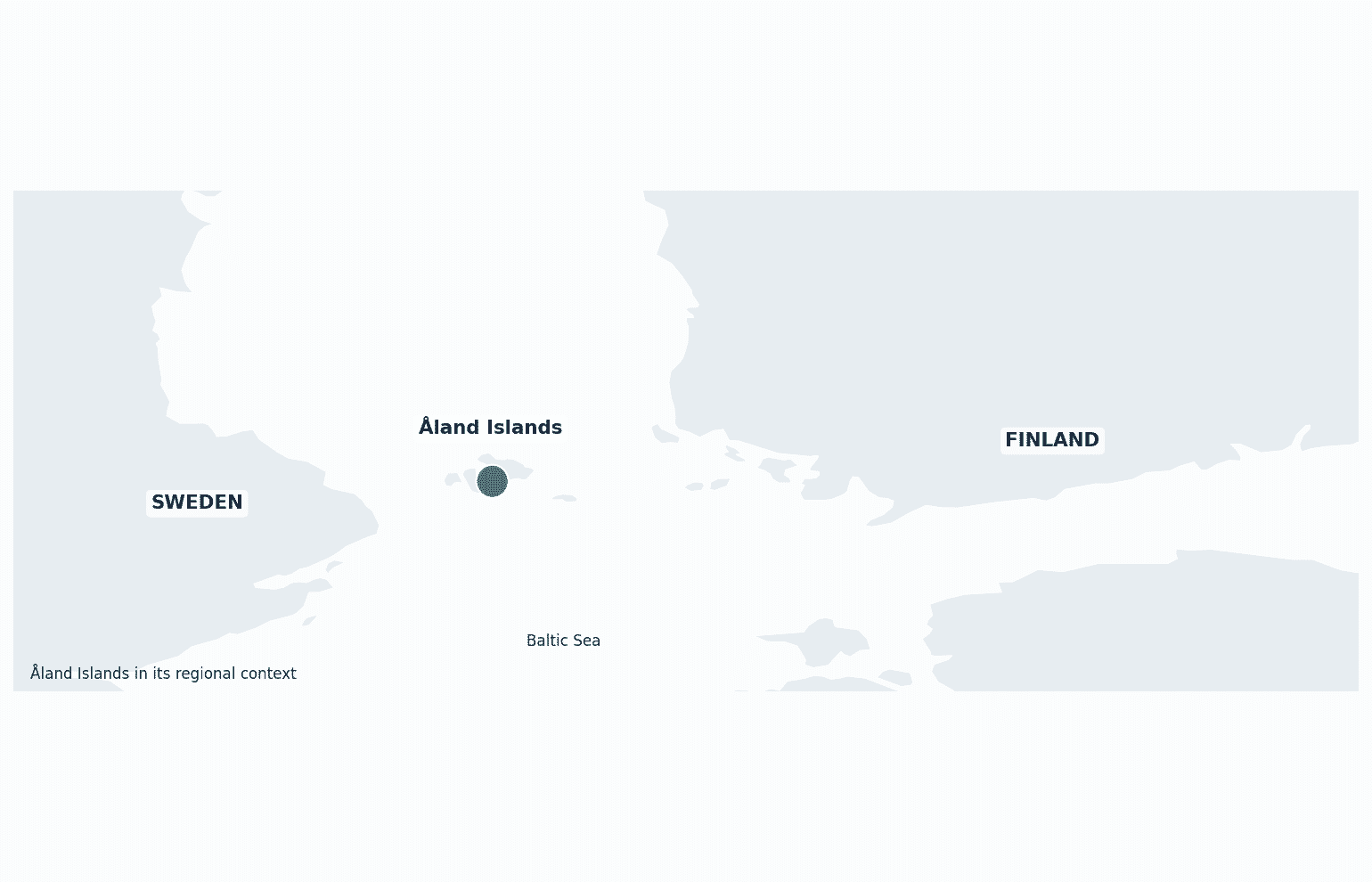
Maritime Borders
The Åland Islands have no land borders; the archipelago lies in the Baltic Sea between Finland and Sweden.
Åland Islands Key Facts
| Country | Åland Islands |
| Coordinates | Latitude: 60.1785 Longitude: 19.9156 |
| Country Codes | Alpha 2: AX Alpha 3: ALA |
| Country Flag Emoji | 🇦🇽 |
| Int. Phone Prefix | +358 (18) |
| Capital city | Mariehamn |
| Continent Subcontinent | Europe Northern Europe |
| Country Area | 1580 sq km |
| Population 2023 | 30,654 World Rank: 214 |
| Median Age | 44 |
| Life expectancy | 82.0 |
| Major languages | Swedish (official) |
| UTC/GMT Time | Number of time zones: 1
|
| Internet TLD | .ax |
| Biggest Airport | Mariehamn Airport (MHQ) |
| Average temperature | 6 °C 43 °F |
| Administrative Divisions | 16 municipalities |
| Political system | Autonomous region of Finland |
Åland Islands Economy Facts
| World Bank Income Group | High income |
| World Bank Region | Europe & Central Asia |
| Currency | Euro (EUR) |
| GDP in 2023 | $1.5 (billions of USD) World Rank: 197 |
| GDP per capita in 2023 | $48,900 World Rank: 34 |
| Major Industries / Economic Sectors | Shipping and ferries, tourism, banking, agriculture |
| Top 5 Import Countries | Finland, Sweden, Germany |
| Top 5 Export Countries | Shipping services, food products |
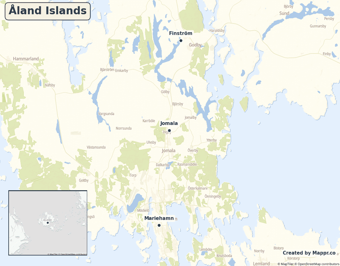
Biggest Cities in Åland Islands
Here are the largest cities in Åland Islands based on 2024 data:
| City | Population |
|---|
| Mariehamn | 10,682 |
Map of Åland Islands with the Largest Cities
Other Countries in the Northern Europe Region
Geography
The Åland Islands are an archipelago of some 6,700 islands and skerries in the Baltic Sea, sitting right at the mouth of the Gulf of Bothnia between Finland and Sweden. Only about 60 are inhabited, with most people on the main island around Mariehamn.
Swedish-speaking but part of Finland, Åland is demilitarised and strongly autonomous.
Are the Åland Islands a country?
The Åland Islands are an autonomous, Swedish-speaking region of Finland. Åland runs its own parliament and many of its own affairs, is demilitarised by international treaty, and has its own flag — while remaining part of Finland and the EU.
| Status | Autonomous region of Finland |
| Sovereign state | Finland |
| Capital | Mariehamn |
| Population | 30,654 |
| Area | 1580 km² |
| Currency | Euro (EUR) |
| Official language(s) | Swedish (official) |
| ISO 3166 code | AX / ALA |
| Calling code | +358 (18) |
| Internet TLD | .ax |
Climate
Åland has a cool temperate climate moderated by the Baltic, averaging about 6°C (43°F), with mild summers and cold, sometimes icy winters.
Economy
Åland’s high-income economy is built on shipping — it is home to major Baltic ferry operators — together with tourism, banking and agriculture.
Åland Islands in its region
Åland lies in the Baltic Sea midway between Sweden to the west and mainland Finland to the east.
Administrative divisions
Åland is divided into 16 municipalities, with Mariehamn, the only town, serving as the capital and ferry hub.


