Sao Tome and Principe is located in the Northern Africa region at latitude 0.18636 and longitude 6.613081 and is part of the African continent continent.
The DMS coordinates for the center of the country are:
0° 11' 10.90'' N
6° 36' 47.09'' E
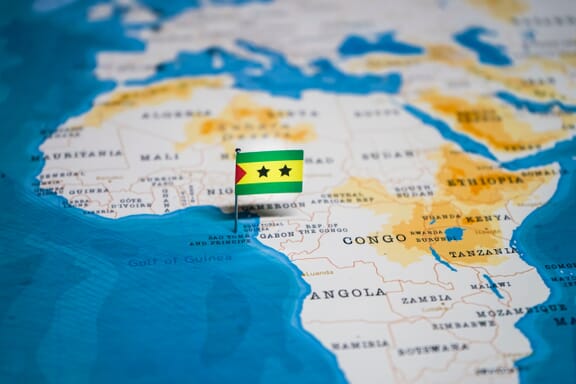
You can see the location of Sao Tome and Principe on the world map below:
Sao Tome and Principe on the World Map
Sao Tome and Principe Neighboring Countries
The country has no neighboring countries/land borders.
Maritime Borders
São Tomé and Príncipe bordres with the Gulf of Guinea.
Sao Tome and Principe Key Facts
| Country | Sao Tome and Principe |
|---|---|
| Coordinates |
Latitude: 0.18636 Longitude: 6.613081 |
| Country Codes |
Alpha 2: ST Alpha 3: STP |
| Country Flag Emoji | 🇸🇹 |
| Int. Phone Prefix | +239 |
| Capital city | São Tomé |
| Continent / Subcontinent |
Africa Northern Africa |
| Country Area | 964 sq km |
| Population 2024 |
235,536 World Rank: 181 |
| Median Age | 18.4 |
| Life expectancy | 69.7 |
| Major languages | Portuguese |
| UTC/GMT Time |
Number of time zones: 1
|
| Internet TLD | .st |
| Biggest Airport | São Tomé International Airport (TMS) |
| Average temperature |
27.00 °C 80.60 °F |
| Administrative Divisions | 1 autonomous region 6 districts |
| Political system | Parliamentary democracy |
Sao Tome and Principe Economy Facts
| World Bank Income Group | Lower middle income |
|---|---|
| World Bank Region | Sub-Saharan Africa |
| Currency | New Dobra (STN) |
| GDP in 2020 |
$0.5 (billions of USD) World Rank: 202 |
| GDP per capita in 2020 |
$3,491 World Rank: 152 |
| Major Industries / Economic Sectors | Agriculture, manufacturing, energy, services |
| Top 5 Import Countries | China, Portugal, Brazil, India, United States |
| Top 5 Export Countries | United States, China, India, Portugal, Brazil |
Biggest Cities in Sao Tome and Principe
Here are the largest cities in Sao Tome and Principe based on 2024 data:
| City | Population |
|---|---|
| Sao Tome | 53,300 |