Vanuatu is located in the Australia and Oceania region at latitude -15.376706 and longitude 166.959158 and is part of the Oceania continent continent.
The DMS coordinates for the center of the country are:
15° 22' 36.14'' S
166° 57' 32.97'' E
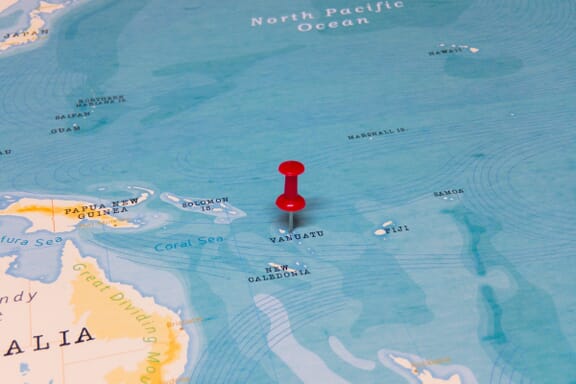
You can see the location of Vanuatu on the world map below:
Vanuatu on the World Map
Vanuatu Neighboring Countries
The country has no neighboring countries/land borders.
Maritime Borders
Vanuatu borders with the Pacific Ocean.
Vanuatu Key Facts
| Country | Vanuatu |
|---|---|
| Coordinates |
Latitude: -15.376706 Longitude: 166.959158 |
| Country Codes |
Alpha 2: VU Alpha 3: VUT |
| Country Flag Emoji | 🇻🇺 |
| Int. Phone Prefix | +678 |
| Capital city | Port Vila |
| Continent / Subcontinent |
Oceania Australia and Oceania |
| Country Area | 12,189 sq km |
| Population 2025 |
335,169 World Rank: 177 |
| Median Age | 19.5 |
| Life expectancy | 71.7 |
| Major languages | local languages (more than 100) 63.2%, Bislama (official; creole) 33.7%, English (official) 2%, French (official) 0.6%, other 0.5% (2009 est.) |
| UTC/GMT Time |
Number of time zones: 1
|
| Internet TLD | .vu |
| Biggest Airport | Bauerfield International Airport Port Vila International Airport (VLI) |
| Average temperature |
23.95 °C 75.11 °F |
| Administrative Divisions | 6 provinces |
| Political system | Parliamentary democracy |
Vanuatu Economy Facts
| World Bank Income Group | Lower middle income |
|---|---|
| World Bank Region | East Asia & Pacific |
| Currency | Vatu (VUV) |
| GDP in 2024 |
$1.12 (billions of USD) World Rank: 196 |
| GDP per capita in 2024 |
$4,039 World Rank: 151 |
| Major Industries / Economic Sectors | Agriculture, manufacturing, energy, services |
| Top 5 Import Countries | Australia, China, United States, Japan, New Zealand |
| Top 5 Export Countries | Australia, China, United States, Japan, New Zealand |
Biggest Cities in Vanuatu
Here are the largest cities in Vanuatu based on 2024 data:
| City | Population |
|---|---|
| Port-Vil | 35,901 |


