Cabo Verde is located in the Northern Africa region at latitude 16.002082 and longitude -24.013197 and is part of the African continent continent.
The DMS coordinates for the center of the country are:
16° 0' 7.50'' N
24° 0' 47.51'' W
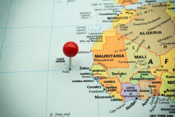
You can see the location of Cabo Verde on the world map below:
Cabo Verde on the World Map
Cabo Verde Neighboring Countries
The country has no neighboring countries/land borders.
Maritime Borders
Cape Verde borders the Atlantic Ocean.
Cabo Verde Key Facts
| Country | Cabo Verde |
|---|---|
| Coordinates |
Latitude: 16.002082 Longitude: -24.013197 |
| Country Codes |
Alpha 2: CV Alpha 3: CPV |
| Country Flag Emoji | 🇨🇻 |
| Int. Phone Prefix | +238 |
| Capital city | Praia |
| Continent / Subcontinent |
Africa Northern Africa |
| Country Area | 4,033 sq km |
| Population 2024 |
524,877 World Rank: 172 |
| Median Age | 26.5 |
| Life expectancy | 76.1 |
| Major languages | Portuguese |
| UTC/GMT Time |
Number of time zones: 1
|
| Internet TLD | .cv |
| Biggest Airport | Amílcar Cabral International Airport (SID) |
| Average temperature |
27.00 °C 80.60 °F |
| Administrative Divisions | 2 geographical regions 22 municipalities |
| Political system | Parliamentary democracy |
Cabo Verde Economy Facts
| World Bank Income Group | Lower middle income |
|---|---|
| World Bank Region | Sub-Saharan Africa |
| Currency | Cape Verde Escudo (CVE) |
| GDP in 2024 |
$2.7 (billions of USD) World Rank: 182 |
| GDP per capita in 2024 |
$5,192 World Rank: 136 |
| Major Industries / Economic Sectors | Tourism, agriculture, manufacturing, energy |
| Top 5 Import Countries | Portugal, China, United States, Spain, Brazil |
| Top 5 Export Countries | Portugal, United States, Senegal, Angola, Netherlands |
Biggest Cities in Cabo Verde
Here are the largest cities in Cabo Verde based on 2024 data:
| City | Population |
|---|---|
| Praia | 137,868 |
| Mindelo | 69,013 |
| Espargos | 24,500 |
| Assomada | 21,297 |