Jamaica is located in the Caribbean region at latitude 18.109581 and longitude -77.297508 and is part of the North American continent.
The DMS coordinates for the center of the country are:
- 18° 6' 34.49'' N
- 77° 17' 51.03'' W
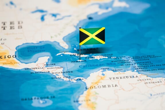
You can see the location of Jamaica on the world map below:
The country has no neighboring countries/land borders.
Maritime Borders
Jamaica borders with the Caribbean Sea.
Jamaica Related Content
- Jamaica Flag Map and Meaning
- Caribbean Islands Map with Countries, Sovereignty, and Capitals
- Countries With the Lowest Divorce Rate
Jamaica Key Facts
| Country | Jamaica |
| Coordinates | Latitude: 18.109581 Longitude: -77.297508 |
| Country Codes | Alpha 2: JM Alpha 3: JAM |
| Country Flag Emoji | 🇯🇲 |
| Int. Phone Prefix | +1-876 |
| Capital city | Kingston |
| Continent Subcontinent | North America Caribbean |
| Country Area | 10,991 sq km |
| Population 2021 | 2,973,462 World Rank: 133 |
| Median Age | 30.8 |
| Life expectancy | 70.5 |
| Major languages | English, English patois |
| UTC/GMT Time | Number of time zones: 1
|
| Internet TLD | .jm |
| Biggest Airport | Sangster International Airport (SIA) |
| Average temperature | 24.95 °C 76.91 °F |
| Administrative Divisions | 14 parishes |
| Political system | Parliamentary democracy |
Jamaica Economy Facts
| World Bank Income Group | Upper middle income |
| World Bank Region | Latin America & Caribbean |
| Currency | Jamaican Dollar (JMD) |
| GDP in 2020 | $13.8 (billions of USD) World Rank: 130 |
| GDP per capita in 2020 | $4,665 World Rank: 103 |
| Major Industries / Economic Sectors | Tourism, manufacturing, agriculture, energy |
| Top 5 Import Countries | United States, China, Brazil, Mexico, Japan |
| Top 5 Export Countries | United States, China, Canada, Netherlands, United Kingdom |
Biggest Cities in Jamaica
Here are the largest cities in Jamaica based on 2021 data:
| City | Population |
|---|
| Kingston | 580,000 | Portmore | 170,000 | May Pen | 135,142 | Spanish Town | 131,056 | Montego Bay | 110,115 | Half Way Tree | 96,494 | Mandeville | 48,317 | Old Harbour | 28,665 | Linstead | 22,757 | Savanna-la-Mar | 22,600 |