Bahamas (the) is located in the Caribbean region at latitude 25.03428 and longitude -77.39628 and is part of the North American continent continent.
The DMS coordinates for the center of the country are:
25° 2' 3.41'' N
77° 23' 46.61'' W
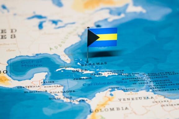
You can see the location of Bahamas on the world map below:
Bahamas on the World Map
Bahamas Neighboring Countries
The country has no neighboring countries/land borders.
Maritime Borders
Bahamas borders with the Caribbean Sea.
Bahamas (the) Key Facts
| Country | Bahamas (the) |
|---|---|
| Coordinates |
Latitude: 25.03428 Longitude: -77.39628 |
| Country Codes |
Alpha 2: BS Alpha 3: BHS |
| Country Flag Emoji | 🇧🇸 |
| Int. Phone Prefix | +1-242 |
| Capital city | Nassau |
| Continent / Subcontinent |
North America Caribbean |
| Country Area | 13,880 sq km |
| Population 2024 |
401,283 World Rank: 175 |
| Median Age | 32.4 |
| Life expectancy | 74.6 |
| Major languages | English |
| UTC/GMT Time |
Number of time zones: 1
|
| Internet TLD | .bs |
| Biggest Airport | Lynden Pindling International Airport (NAS) |
| Average temperature |
27.00 °C 80.60 °F |
| Administrative Divisions | 31 districts 1 island |
| Political system | Parliamentary democracy |
Bahamas Economy Facts
| World Bank Income Group | High income |
|---|---|
| World Bank Region | Latin America & Caribbean |
| Currency | Bahamian Dollar (BSD) |
| GDP in 2024 |
$15.8 (billions of USD) World Rank: 140 |
| GDP per capita in 2024 |
$39,455 World Rank: 41 |
| Major Industries / Economic Sectors | Tourism, banking, manufacturing, agriculture |
| Top 5 Import Countries | United States, China, Canada, Mexico, Brazil |
| Top 5 Export Countries | United States, Canada, United Kingdom, China, Japan |
Biggest Cities in Bahamas
Here are the largest cities in Bahamas based on 2024 data:
| City | Population |
|---|---|
| Nassau | 227,940 |
| Lucaya | 46,525 |
| Freeport City | 26,910 |
| Killarney | 17,679 |
Map of Bahamas with the Largest Cities
Image Sources and Copyright Information
- Flag Pin on Bahamas Map: © hyotographics/Shutterstock