Uruguay is located in the South America region at latitude -32.522779 and longitude -55.765835 and is part of the South American continent continent.
The DMS coordinates for the center of the country are:
32° 31' 22.00'' S
55° 45' 57.01'' W
You can see the location of Uruguay on the world map below:
Uruguay on the World Map
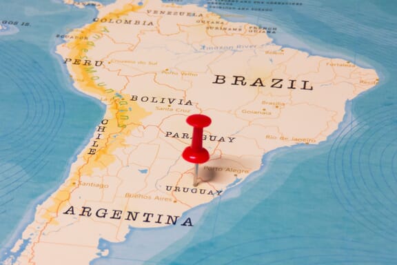
Uruguay Neighboring Countries
The neighboring countries of Uruguay (UY) are:
- Argentina (AR)
- Brazil (BR)
Maritime Borders
Uruguay borders with the Atlantic Ocean.
Uruguay Key Facts
| Country | Uruguay |
|---|---|
| Coordinates |
Latitude: -32.522779 Longitude: -55.765835 |
| Country Codes |
Alpha 2: UY Alpha 3: URY |
| Country Flag Emoji | 🇺🇾 |
| Int. Phone Prefix | +598 |
| Capital city | Montevideo |
| Continent / Subcontinent |
South America South America |
| Country Area | 176,215 sq km |
| Population 2024 |
3,386,588 World Rank: 133 |
| Median Age | 35.2 |
| Life expectancy | 78.1 |
| Major languages | Spanish (official), Portunol, or Brazilero |
| UTC/GMT Time |
Number of time zones: 1
|
| Internet TLD | .uy |
| Biggest Airport | Carrasco International Airport (MVD) |
| Average temperature |
17.55 °C 63.59 °F |
| Administrative Divisions | 19 departments |
| Political system | Presidential representative democratic republic |
Uruguay Economy Facts
| World Bank Income Group | High income |
|---|---|
| World Bank Region | Latin America & Caribbean |
| Currency | Uruguayan Peso (UYU) |
| GDP in 2024 |
$81 (billions of USD) World Rank: 82 |
| GDP per capita in 2024 |
$23,907 World Rank: 65 |
| Major Industries / Economic Sectors | Manufacturing, services, agriculture, energy |
| Top 5 Import Countries | Brazil, China, Argentina, United States, Germany |
| Top 5 Export Countries | Brazil, China, Argentina, United States, Germany |
Biggest Cities in Uruguay
Here are the largest cities in Uruguay based on 2024 data:
| City | Population |
|---|---|
| Montevideo | 1,270,737 |
| Salto | 99,823 |
| Paysandu | 73,249 |
| Las Piedras | 69,682 |
| Rivera | 64,631 |
| Maldonado | 55,478 |
| Tacuarembo | 51,854 |
| Melo | 51,023 |
| Mercedes | 42,359 |
| Artigas | 41,909 |