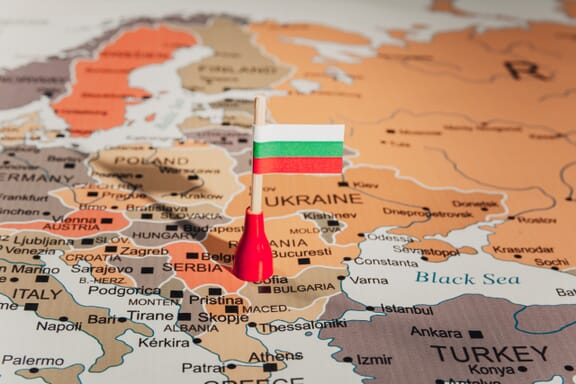
Bulgaria is located in the Eastern Europe region at latitude 42.733883 and longitude 25.48583 and is part of the European continent continent.
The DMS coordinates for the center of the country are:
42° 44' 1.98'' N
25° 29' 8.99'' E
You can see the location of Bulgaria on the world map below:
Bulgaria on the World Map
Bulgaria Neighboring Countries
The neighboring countries of Bulgaria (BG) are:
- Greece (GR)
- North Macedonia (MK)
- Romania (RO)
- Serbia (RS)
- Turkey (TR)
Maritime Borders
Bulgaria borders with the Black Sea.
Bulgaria Key Facts
| Country | Bulgaria |
|---|---|
| Coordinates |
Latitude: 42.733883 Longitude: 25.48583 |
| Country Codes |
Alpha 2: BG Alpha 3: BGR |
| Country Flag Emoji | 🇧🇬 |
| Int. Phone Prefix | +359 |
| Capital city | Sofia |
| Continent / Subcontinent |
Europe Eastern Europe |
| Country Area | 110,879 sq km |
| Population 2024 |
6,441,421 World Rank: 110 |
| Median Age | 44.5 |
| Life expectancy | 75.7 |
| Major languages | Bulgarian (official) 76.8%, Turkish 8.2%, Romani 3.8%, other 0.7%, unspecified 10.5% (2011 est.) |
| UTC/GMT Time |
Number of time zones: 1
|
| Internet TLD | .bg |
| Biggest Airport | Sofia Airport (SOF) |
| Average temperature |
10.55 °C 50.99 °F |
| Administrative Divisions | 28 regions |
| Political system | Parliamentary republic |
Bulgaria Economy Facts
| World Bank Income Group | Upper middle income |
|---|---|
| World Bank Region | Europe & Central Asia |
| Currency | Bulgarian Lev (BGL) |
| GDP in 2024 |
$113.3 (billions of USD) World Rank: 68 |
| GDP per capita in 2024 |
$17,596 World Rank: 80 |
| Major Industries / Economic Sectors | Manufacturing, energy, agriculture, services |
| Top 5 Import Countries | Germany, Russia, Italy, Turkey, China |
| Top 5 Export Countries | Germany, Italy, Romania, Turkey, France |
Biggest Cities in Bulgaria
Here are the largest cities in Bulgaria based on 2024 data:
| City | Population |
|---|---|
| Sofia | 1,152,556 |
| Plovdiv | 329,489 |
| Varna | 318,737 |
| Burgas | 210,646 |
| Stara Zagora | 121,582 |
| Ruse | 121,168 |
| Pleven | 90,209 |
| Sliven | 83,740 |
| Pernik | 82,467 |
| Shumen | 72,342 |