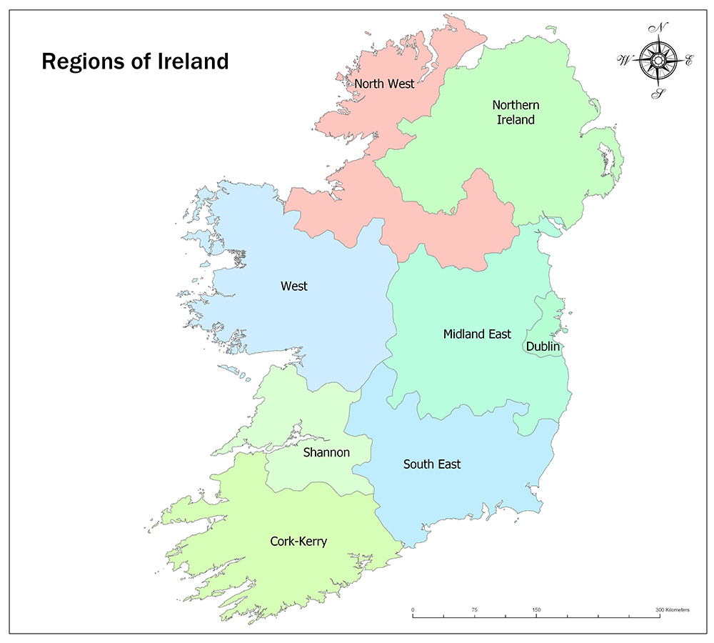
Ireland is divided into eight geographical regions. Seven of these regions are within the borders of Ireland, while the Northern Ireland geographic region is connected to the United Kingdom.
Before 2014, the regions were governed by regional assemblies. Ireland abolished these assemblies with Law No. 573/2014. The relationship between the regional assemblies and the central administration ended. The Regional Assemblies are now responsible for planning at the local government level.
Regions are not administrative regions but only traditional regions.
Also See: Location and Political Maps of Ireland
Eight Regions of Ireland
Ireland is divided into eight geographical regions. These regions include North West, Northern Ireland, West, Midland East, Dublin, Shannon, South East, and Cork-Kerry.
Related Maps: Ireland’s Counties and Northern Ireland’s Counties.
North West

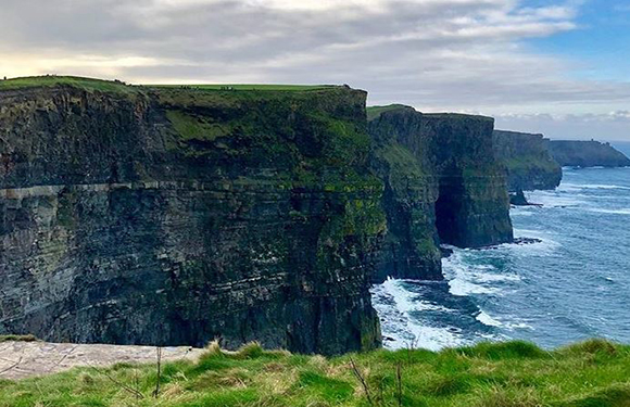
It is the most northern part of the North West region of Ireland. It is neighbor to the Northern Ireland region of the United Kingdom and is also located in the West of Ireland. The North West, with its North Atlantic coastline, has rugged land and mountainous surface.
Northern Ireland
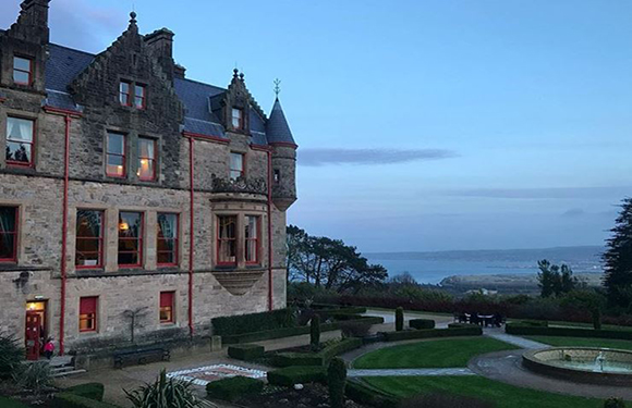
Northern Ireland is an autonomous country of the United Kingdom, located on the island of Ireland, north of Ireland. Its capital is Belfast. Its surface area is 14,139 square kilometers. The population of 2004 is 1,710,300. In a survey conducted in 2005 in the region, 58% of the people concluded that Northern Ireland was in unity with the United Kingdom and 23% was in favor of a united Irish state by unifying it with the Republic of Ireland.
West

The West Region covers 13,801 square kilometers and corresponds to 20% of the total area of the state. The region has a population of 380,057 and accounts for 8% of the total population of the state. The West Region includes counties of Galway, counties of Mayo and counties of Roscommon.
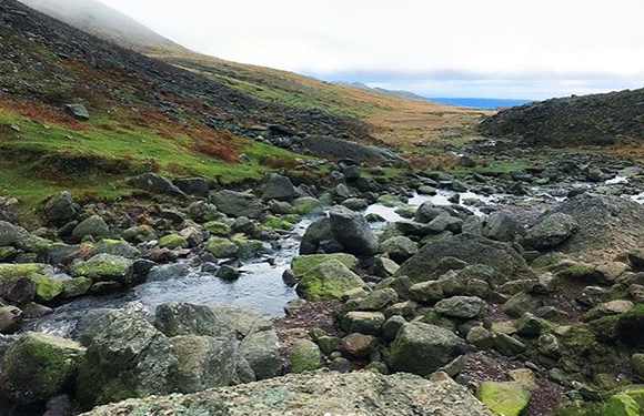
The area is located on the Shannon River, which borders the Atlantic Ocean west to the east. 70% of the Western Region is in rural areas and only 30% of the population lives in urban areas.
Midland East
The Midlands Region has an area of 6,524 square kilometers. According to the 2016 census, the region has a population of 292,301. The Laois, Longford, Offaly, and Westmeath counties are located in the Midland East Region.
The Midlands Region is the poorest region of Ireland, whose income is well below the national average. It is also a tourist destination that includes the natural environment, including lakes, waterways, and canals, as well as history, heritage and culture dating back to early Christianity.
Dublin
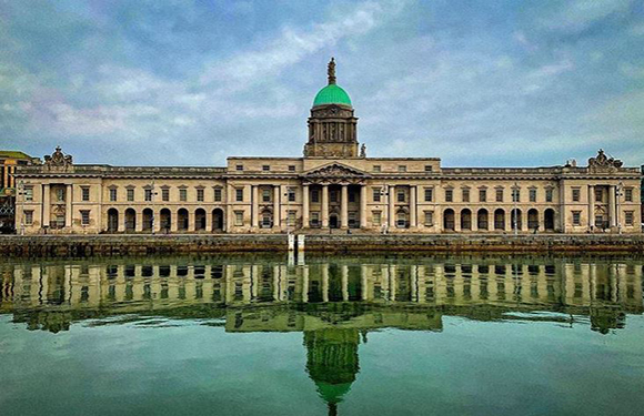
The Dublin region is named after the capital of the region and the city of Dublin, the capital of Ireland. The total population of Dublin is 1,345,402 according to the 2016 census. The area has an area of 922 square kilometers. The Dublin region is the heart of Ireland’s economy.
Shannon
The region is named after Shannon, the most important city. This city is named after the river. It consists of the districts of Shannon, Clare, and Limerick. Clare has a rich collection of rivers and sandy beaches along the Lough Derg River, the famous river that forms the eastern and western borders, and the rugged Atlantic coastline. Limerick is a district of quiet beauty and rural charm.
South East
The South East Region has an area of 7,198 square kilometers and corresponds to 10.2% of the total area of Ireland. According to 2016 census, the population of the region is 422,062. Waterford is the capital of the region. The region is the region with the highest unemployment rate in Ireland. The economy of the South East region is mainly based on many key sectors, from agriculture to production, service to tourism.
Cork-Kerry
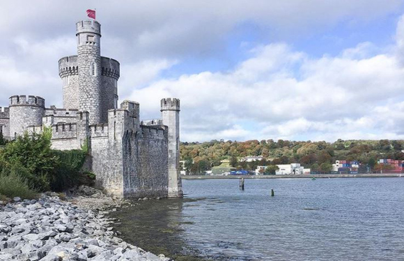
The region is named after Cork County and Kerry County. Cork County is the capital city of Cork. According to 2016 data, the population is 542,868. The Irish War of Independence started in 1919 and the people of Cork played a major role in the war. Kerry County is a county in the province of Munster, Ireland. The population of County is 147,554 as of 2016.


