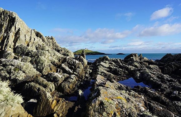
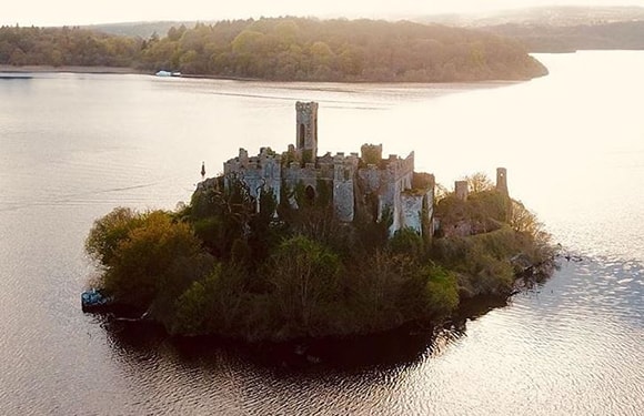
The island of Ireland is divided into 8 regions and thirty-two counties.
The number of county in Ireland is twenty-sixty. Six of these thirty-two counties are located in Northern Ireland.
The Counties of Ireland are used geographically to separate local government areas. Counties in Ireland were established with a system similar to the counties used as local government units in the UK.
Counties are divided into historic subregions called Barony.
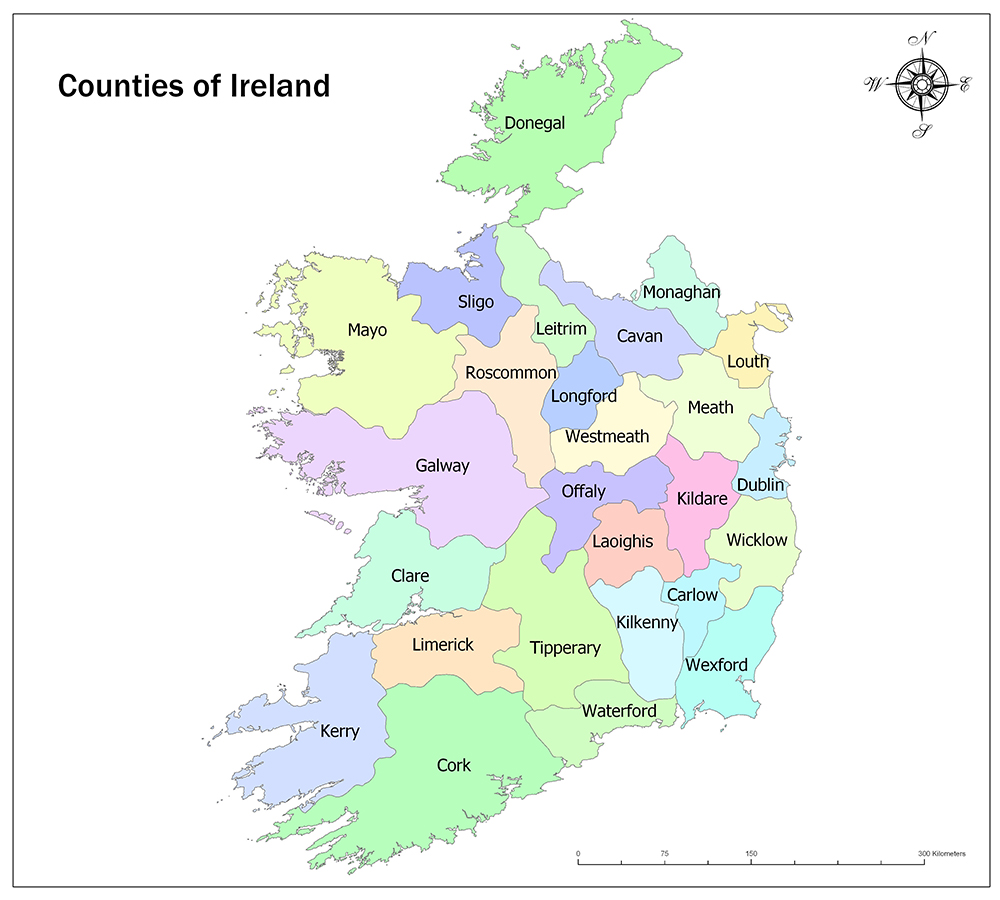
26 Traditional Counties of Ireland
26 Traditional Counties of Ireland:
1. Carlow
Carlow is a county in the South East of Ireland, within the borders of Leinster province. Carlow has an area of 897 square kilometers and has a population of 56,932 according to the 2016 census.
There are seven historic baronies in Carlow. These baronies are Carlow, Forth, Idrone East, Idrone West, Rathvilly, St Mullin’s Lower and St Mullin’s Upper.
2. Cavan
Cavan is a county in the North West of Ireland, within the borders of Ulster province. Cavan has an area of 1,932 square kilometers and has a population of 76,176 according to the 2016 census.
There are eight historic baronies in Cavan. These baronies are Castlerahan, Clankee, Clanmahon, Loughtee Lower, Loughtee Upper, Tullygarvey, Tullyhaw and Tullyhunco.
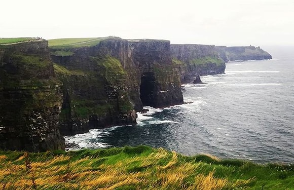
3. Clare
Clare is a county in the county of Shannon, Ireland, within the borders of Munster province. Clare has an area of 3,450 square kilometers and has a population of 118,817 according to the 2016 census.
There are eleven historic baronies in Clare. These baronies are Bunratty Lower, Bunratty Upper, Burren, Clonderalaw, Corcomroe, Ibrickan, Inchiquin, Islands, Moyarta, Tulla Lower and Tulla Upper.
4. Cork
Cork is a county located in the Cork-Kerry region of Ireland and within the borders of Munster province. Cork has 7,500 square kilometers area and has a population of 542,868 according to the 2016 census.
There are Twenty-four historic baronies in Cork. These baronies are Bantry, Barretts, Barrymore, Bear, Carbery East, Carbery East, Carbery West, Condons and Clangibbon, Cork City, Cork, Courceys, Duhallow, Fermoy, Ibane and Barryroe, Imokilly, Kerrycurrihy, Kinalea, Kinalmeaky, Kinnatalloon, Kinsale, Muskerry East and Orrery and Kilmore.
5. Donegal
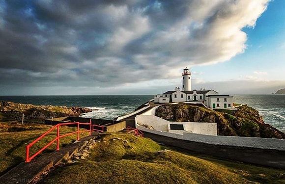
Donegal is a county in the North West of Ireland, within the boundaries of Ulster province. Donegal has an area of 4,861 square kilometers and has a population of 159,192 according to the 2016 census.
Donegal has eight historic baronies. These baronies are Banagh, Boylagh, Inishowen East, Inishowen West, Kilmacrennan, Raphoe North, Raphoe South and Tirhugh
6. Dublin
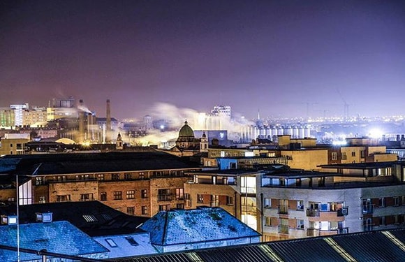
Dublin is a county in the county of Leinster province in Dublin, Ireland. Dublin has an area of 922 square kilometers and has a population of 1,345,402 according to the 2016 census.
There are four local authorities covering the geographical area of the city of Dublin. These are Dublin City Council, South Dublin County Council, Dún Laoghaire – Rathdown County Council and Fingal County Council.
7. Galway
Galway is a county in the West of Ireland, within the boundaries of Connacht province. Galway has an area of 6,149 square kilometers and has a population of 258,058 according to the 2016 census. The first residents in Galway came 7000 years ago. Archaeological studies show that people lived on these lands in 5000 BC.
8. Kerry
Kerry is a county in the Cork-Kerry region of Ireland and is within the boundaries of Munster province. Kerry has an area of 4,807 square kilometers and has a population of 147,707 according to the 2016 census.
There are nine historic baronies in Kerry. These baronies are Clanmaurice, Corkaguiny, Dunkerron North, Dunkerron South, Glanarought, Iraghticonnor, Iveragh Peninsula, Magunihy and Trughanacmy.
9. Kildare
Kildare is a county located in the Midland East of Ireland, within the boundaries of Leinster province. Kildare has an area of 1,695 square kilometers and has a population of 222,504 according to the 2016 census. Kildare is bordered by Carlow, Laois, Meath, Offaly, Dublin and Wicklow.
10. Kilkenny
Kilkenny is a county in the South East of Ireland, within the boundaries of Leinster province. Kilkenny has an area of 2,073 square kilometers and has a population of 99,232 according to the 2016 census.
There are nine historic baronies in Kilkenny. These baronies are Callan, Crannagh, Fassadi, Barony of Galmoy, Gowran, Ida, Iverk, Kells, Kilculliheen, Kilkenny City, Knocktopher and Shillelogher.
11. Laois
Laois is a county located in the Midland East of Ireland, within the boundaries of Leinster province. Laois has an area of 1,720 square kilometers and has a population of 84,697 according to the 2016 census.
There are nine historic baronies in Laois. These baronies are Ballyadams, Cullenagh, Maryborough East, Maryborough West, Portnehinch, Slievemargue, Stradbally, Tinnehinch and Upper Ossory.
12. Leitrim
Leitrim is a county in the North West of Ireland, within the borders of Connacht province. Leitrim has an area of 1,590 square kilometers and has a population of 32,044 according to the 2016 census.
There are five historic baronies in Leitrim. These baronies are Carrigallen, Drumahaire, Leitrim, Mohill and Rosclogher.
13. Limerick
Limerick is a county in the Shannon region of Ireland, within the borders of Munster province. Limerick has an area of 2,756 square kilometers and has a population of 194,899 according to the 2016 census.
Limerick has fourteen historic baronies. These baronies are Clanwilliam, Connello Lower, Connello Upper, Coonagh, Coshlea, Coshma, Glenquin, Kenry, Kilmallock.
14. Longford
Longford is a county located in the Midland East of Ireland, within the boundaries of Leinster province. Longford has an area of 1,091 square kilometers and has a population of 40,873 according to the 2016 census. Longford borders the Cavan in the northeast, Westmeath in the southeast, Roscommon in the southwest and Leitrim in the northwest.
15. Louth
Louth is a county located in the Midland East of Ireland, within the boundaries of Leinster province. Louth has an area of 827 square kilometers and has a population of 128,884 according to the 2016 census. Louth is one of the most populous counties in Ireland.
16. Mayo
Mayo is a county in the West of Ireland, within the boundaries of Connacht province. Mayo has an area of 5,586 square kilometers and has a population of 130,507 according to the 2016 census. It is bordered by the Atlantic Ocean to the north and west; by the county of Galway in the south; by eastern Roscommon District; and the northeastern region is bordered by Sligo.
17. Meath
Meath is a county located in the Midland East of Ireland, within the boundaries of Leinster province. Meath has an area of 2,342 square kilometers and has a population of 195,044 according to the 2016 census.
There are eighteen historic baronies in Meath.
18. Monaghan
Monaghan is a county in the North West of Ireland, within the borders of Ulster province. Monaghan has an area of 1,295 square kilometers and has a population of 60,483 according to the 2011 census.
There are five historic baronies in Monaghan. These baronies are Cremorne, Dartree, Farney, Monaghan and Trough.
19. Offaly
Offaly is a county located in the Midland East of Ireland, within the borders of Leinster province. Offaly has an area of 2,001 square kilometers and has a population of 77,961 according to the 2016 census.
There are twelve historic baronies in Offaly. These baronies are Ballyboy, Ballybrit, Ballycowen, Clonlisk, Coolestown, Eglish, Garrycastle, Geashill, Kilcoursey, Lower Philipstown, Upper Philipstown and Warrenstown.
20. Roscommon
Roscommon is a county in the West of Ireland, within the boundaries of Connacht province. Roscommon has an area of 2,548 square kilometers and has a population of 64,544 according to the 2016 census.
There are nine historic baronies at Roscommon. These baronies are Boyle, Frenchpark, Roscommon, Castlereagh, Ballintober North, Ballymoe, Ballintober, Athlone and Moycarn.
21. Sligo
Sligo is a county in the North West of Ireland, within the borders of Connacht province. Sligo has an area of 1,838 square kilometers and has a population of 65,535 according to the 2016 census.
22. Tipperary
Tipperary is a county in the South East of Ireland, within the borders of Munster province. Tipperary has an area of 4,305 square kilometers and has a population of 159,553 according to the 2016 census.
There are twelve historic baronies in Tipperary. These baronies are Clanwilliam, Eliogarty, Iffa and Offa East, Iffa and Offa West, Ikerrin, Kilnamanagh Lower, Kilnamanagh Upper, Middle Third, Ormond Lower, Ormond Upper, Owney and Arra and Slievardagh.
23. Waterford
Waterford is a county in the South East of Ireland, within the borders of Munster province. Waterford has an area of 1,857 square kilometers and has a population of 116,176 according to the 2016 census.
There are eight historic baronies in Waterford. These baronies are Coshmore and Coshbride, Decies-within-Drum, Decies-without-Drum, Gaultiere, Glenahiry, Middle Third, Upperthird and Waterford City.
24. Westmeath
Westmeath is a county located in the Midland East of Ireland, within the boundaries of Leinster province. Westmeath has an area of 1,840 square kilometers and has a population of 88,770 according to the 2016 census.
25. Wexford
Wexford is a county in the South East of Ireland, within the boundaries of Leinster province. Wexford has an area of 2,365 square kilometers and has a population of 149,722 according to the 2016 census.
26. Wicklow
Wicklow is a county located in the Midland East of Ireland, within the borders of Munster province. Wicklow has an area of 2,027 square kilometers and has a population of 142,42 according to the 2016 census.
There are eight historic baronies in Wicklow. These baronies are Arklow, Ballinacor North, Ballinacor South, Talbotstown Lower, Talbotstown Upper, Newcastle, Rathdown and Shillelagh.
Related: Where is Ireland Located?