
Key Takeaways
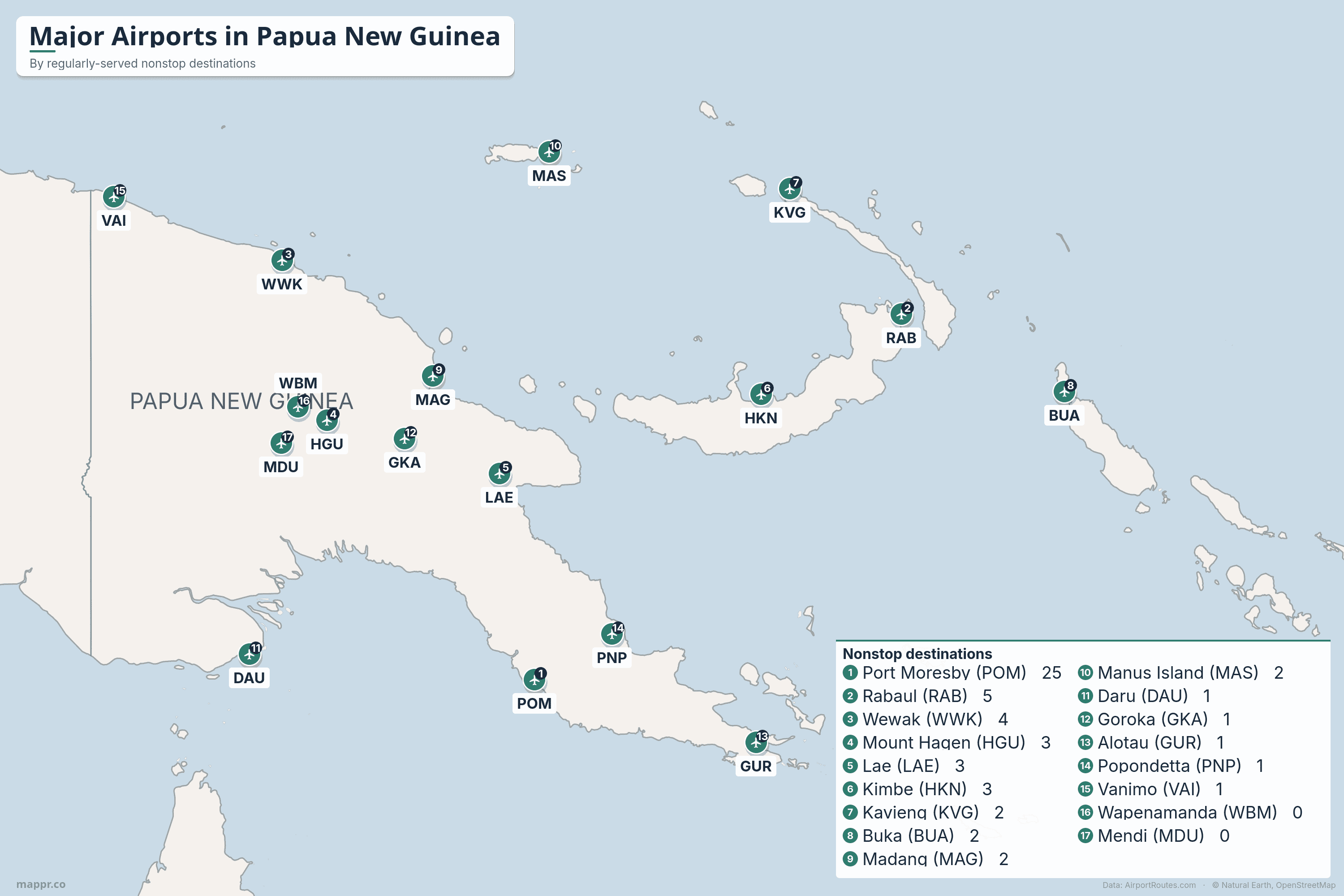
- Port Moresby is the country's only real international gateway. Jacksons International Airport (POM) handles essentially all of Papua New Guinea's international flights and is the home hub of Air Niugini, the national carrier. With around 25 regularly-served nonstop destinations it dwarfs every other airport in the country.
- In PNG, flying is a necessity rather than a luxury. Rugged mountains, dense rainforest and very few long-distance roads mean air travel is the backbone of national transport. Many provincial capitals have no road link to Port Moresby at all, so the airport is the lifeline.
- The network spreads across the Highlands, the coast and the islands. Beyond the capital, airports fan out to the Highlands towns of Mount Hagen and Goroka, the Momase coast at Lae, Madang and Wewak, and the island provinces of New Britain, New Ireland, Manus and Bougainville.
- We rank by regularly-served routes, not raw counts. PNG's route data is a sample that under-counts the thinnest Highlands airstrips, so we rank by regularly-served destinations, routes flown often enough to count as scheduled service, for a truer picture of each airport's connectivity.
- No nonstop flights to the United States. Papua New Guinea has no direct service to the US. Travellers connect through Brisbane, Cairns, Manila, Singapore, Hong Kong or Tokyo, mostly on Air Niugini, then pick up an onward flight to North America.
Papua New Guinea may be one of the most rugged countries on earth to move around, and that is exactly why aviation matters so much there. Steep mountain ranges, deep valleys and dense jungle separate the major towns, and for many of them there is still no road to the capital. Light aircraft and regional turboprops do the work that highways do elsewhere, which makes the country’s airports a genuine lifeline rather than a convenience. The whole system is anchored by a single dominant hub at Port Moresby and flown largely by the national carrier, Air Niugini, alongside the second domestic operator, PNG Air.
Below we map and rank Papua New Guinea’s airports by the number of nonstop destinations each one serves, drawn from live route data on AirportRoutes. We rank by regularly-served destinations, routes flown often enough to count as scheduled service, rather than raw nonstop totals. The figures come from observed flight data, a sample rather than a complete published timetable, so treat them as a guide to relative connectivity rather than official totals. One pattern stands out at once: almost every international route in the country runs through Port Moresby, while the rest of the map is a dense web of domestic flights linking the Highlands, the coast and the islands.
Are there direct flights from Papua New Guinea to the US?
No. Papua New Guinea has no scheduled nonstop flights to the United States, and no US airline flies into the country. Every routing to America involves at least one connection, almost always through Port Moresby first and then a larger hub in Asia or Australia.
From Jacksons International, Air Niugini flies internationally to Brisbane, Cairns and Sydney in Australia, plus Singapore, Manila, Hong Kong and Tokyo, with Philippine Airlines, China Southern (to Guangzhou) and Qantas (to Brisbane and Sydney) adding more links. The most common ways to reach the US are via Brisbane, Singapore, Manila, Hong Kong or Tokyo, then onward across the Pacific. No airport outside Port Moresby has any international service at all: every other airport on this list is purely domestic.
Ranked
Major Airports in Papua New Guinea by Nonstop Destinations
Ranked by regularly-served nonstop destinations, busiest first.
| Airport | IATA | Nonstop | Region |
|---|---|---|---|
| 1. Port Moresby | POM | 25 | National Capital District (south coast) |
| 2. Rabaul / Kokopo | RAB | 5 | East New Britain (Islands) |
| 3. Wewak | WWK | 4 | East Sepik (north coast) |
| 4. Mount Hagen | HGU | 3 | Western Highlands |
| 5. Lae | LAE | 3 | Morobe (north-east coast) |
| 6. Kimbe | HKN | 3 | West New Britain (Islands) |
| 7. Kavieng | KVG | 2 | New Ireland (Islands) |
| 8. Buka | BUA | 2 | Bougainville (Islands) |
| 9. Madang | MAG | 2 | Madang (north coast) |
| 10. Manus Island | MAS | 2 | Manus (Islands) |
| 11. Daru | DAU | 1 | Western Province (south) |
| 12. Goroka | GKA | 1 | Eastern Highlands |
| 13. Alotau | GUR | 1 | Milne Bay (south-east) |
| 14. Popondetta | PNP | 1 | Oro / Northern (east coast) |
| 15. Vanimo | VAI | 1 | Sandaun (north-west) |
| 16. Wapenamanda | WBM | 0* | Enga (Highlands) |
| 17. Mendi | MDU | 0* | Southern Highlands |
A closer look at Papua New Guinea’s main airports
✈️ Port Moresby (POM)
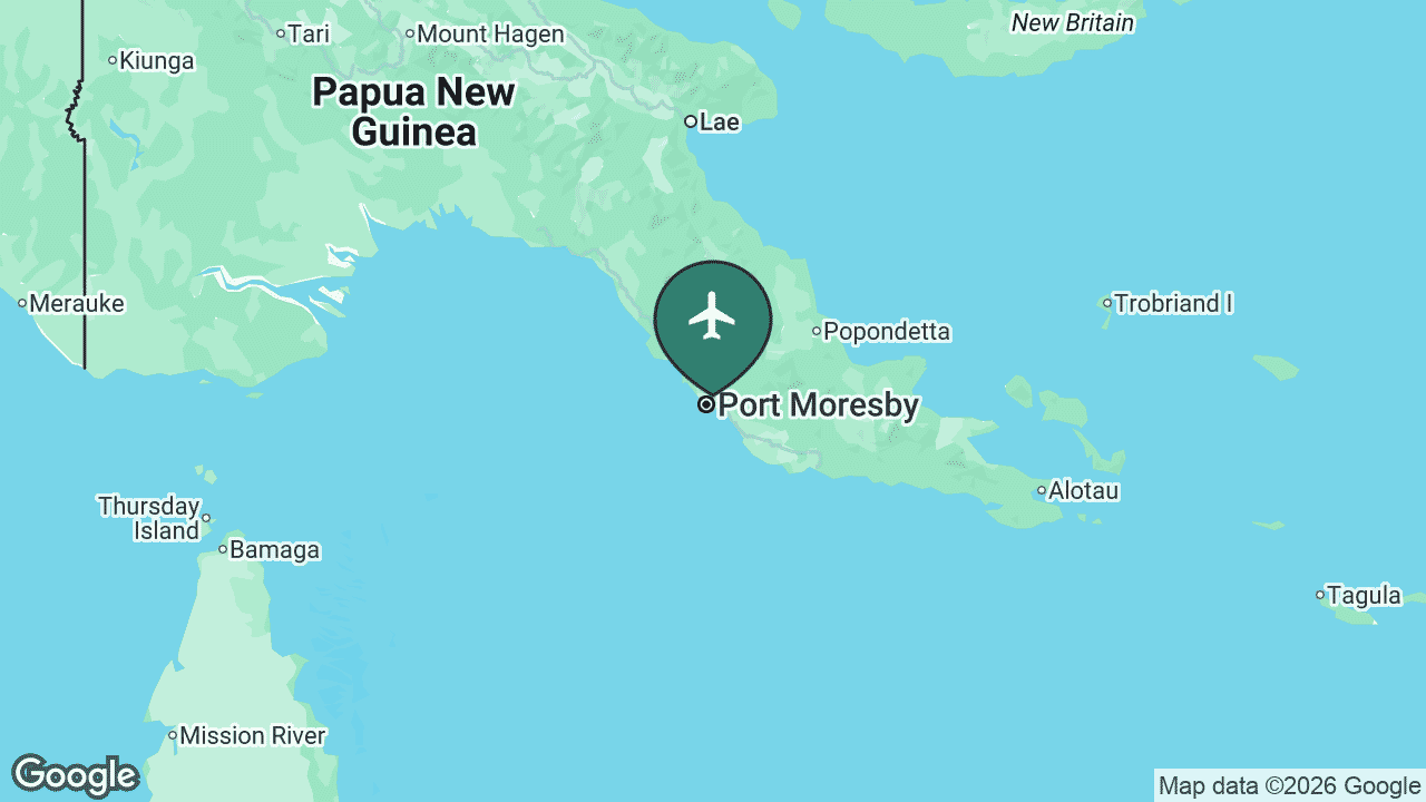
Jacksons International Airport sits about 8 km north-east of central Port Moresby, the national capital, on the country’s south coast. It is by a wide margin the largest and busiest airport in Papua New Guinea, with separate international and domestic terminals, and it is the home base of Air Niugini, the state-owned flag carrier.
Serving the capital and acting as the gateway for the whole country, POM reaches around 25 regularly-served nonstop destinations. It is the only airport in Papua New Guinea with international flights, linking the country to Australia, Asia and the Pacific, and it feeds a dense domestic network that connects the Highlands, the coastal cities and the island provinces.
Main airlines: Air Niugini, PNG Air, Philippine Airlines, China Southern, Qantas. See the full route map for POM on AirportRoutes →
🌋 Rabaul / Kokopo (RAB)
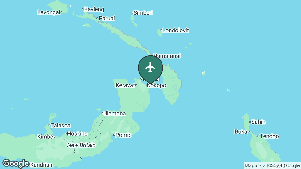
Tokua Airport serves Rabaul and Kokopo at the eastern tip of New Britain, in East New Britain Province. It replaced the old Rabaul airfield at Lakunai, which was buried along with much of Rabaul town by the 1994 eruption of Mount Tavurvur. The provincial capital later moved to nearby Kokopo, and Tokua is the air gateway for the whole area.
Serving one of the country’s most striking volcanic landscapes, RAB reaches about 5 regularly-served destinations, all domestic, led by the trunk route to Port Moresby and links to other island and coastal towns. The region is popular for its WWII history, diving and the still-active volcanoes that ring Rabaul’s caldera.
Main airlines: PNG Air, Air Niugini. See the full route map for RAB on AirportRoutes →
🌾 Wewak (WWK)
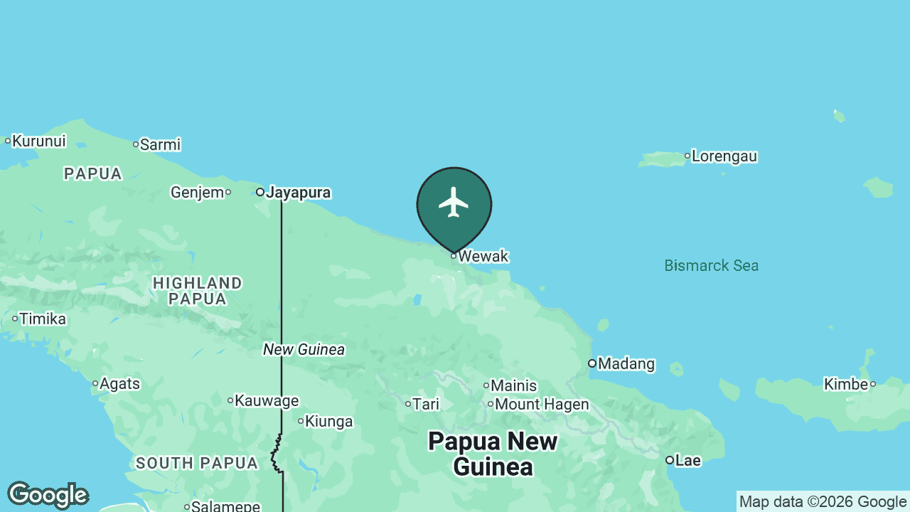
Wewak’s Boram Airport serves the capital of East Sepik Province, on the north coast facing the Bismarck Sea. Wewak is the main gateway to the vast Sepik River basin, famous for its art, spirit houses and crocodile culture, and it carries a heavy load of WWII history as one of the last major Japanese bases in the Pacific.
Serving the north-west coast and the Sepik, WWK reaches about 4 regularly-served destinations, entirely domestic, anchored by Port Moresby and connections on to Madang, Mount Hagen and the smaller Sepik strips at Vanimo.
Main airlines: PNG Air, Air Niugini. See the full route map for WWK on AirportRoutes →
⛰️ Mount Hagen (HGU)
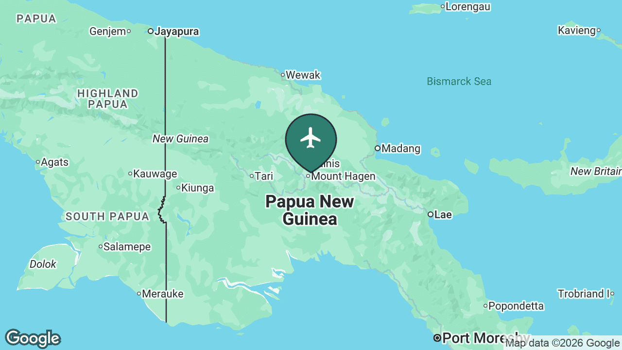
Kagamuga Airport serves Mount Hagen, the capital of Western Highlands Province and the largest city of the PNG Highlands, sitting at around 1,640 m above sea level. It is the third-busiest airport in the country and the main hub for the densely populated Highlands, a region of coffee plantations, tribal cultures and dramatic mountain scenery.
Serving the central Highlands, HGU reaches about 3 regularly-served destinations, all domestic, dominated by the busy link to Port Moresby and feeder routes to Highlands and coastal towns such as Wewak and Tabubil. For much of the Highlands, this airport is the quickest way out to the rest of the country.
Main airlines: PNG Air, Air Niugini. See the full route map for HGU on AirportRoutes →
🛬 Lae (LAE)
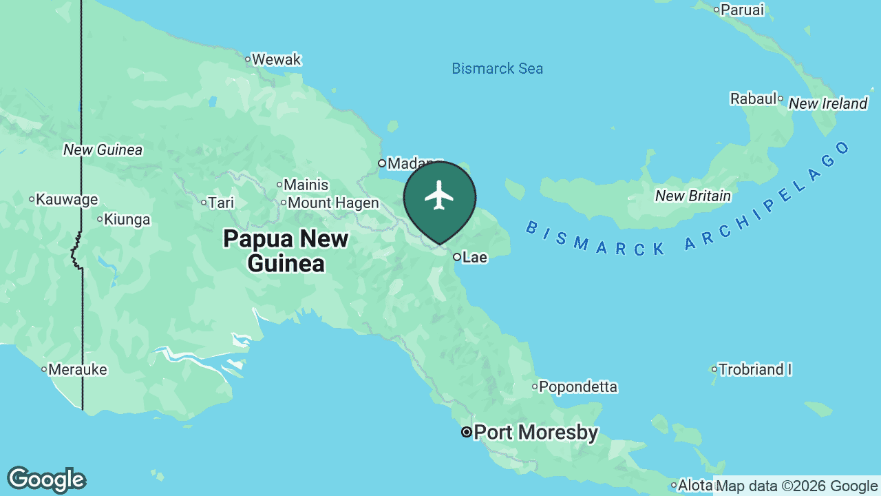
Lae is served by Nadzab Airport, set in the Markham Valley about 40 km north-west of the city. Lae is Papua New Guinea’s second-largest city and its main industrial and port centre, and the gateway to the Highlands Highway. Nadzab was rebuilt and reopened in 2023 as a modern terminal, funded largely by Japan, replacing the cramped old field closer to town.
Serving Morobe Province and the road corridor up to the Highlands, LAE reaches about 3 regularly-served destinations, all domestic, led by Port Moresby and links to the island and coastal towns of the north-east.
Main airlines: PNG Air, Air Niugini. See the full route map for LAE on AirportRoutes →
🏄 Kavieng (KVG)
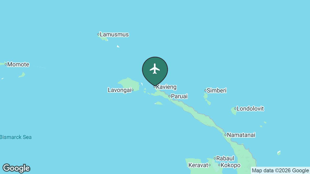
Kavieng Airport serves the town of Kavieng at the northern tip of New Ireland, the long, thin island that curves north-east from New Britain. The town is a quiet provincial capital known for world-class surfing, fishing and diving, and the airport is its main connection to the rest of the country.
Serving New Ireland, KVG reaches about 2 regularly-served destinations, all domestic, centred on Rabaul and Port Moresby with onward links into the island provinces and Manus.
Main airlines: Air Niugini. See the full route map for KVG on AirportRoutes →
🌴 Buka (BUA)
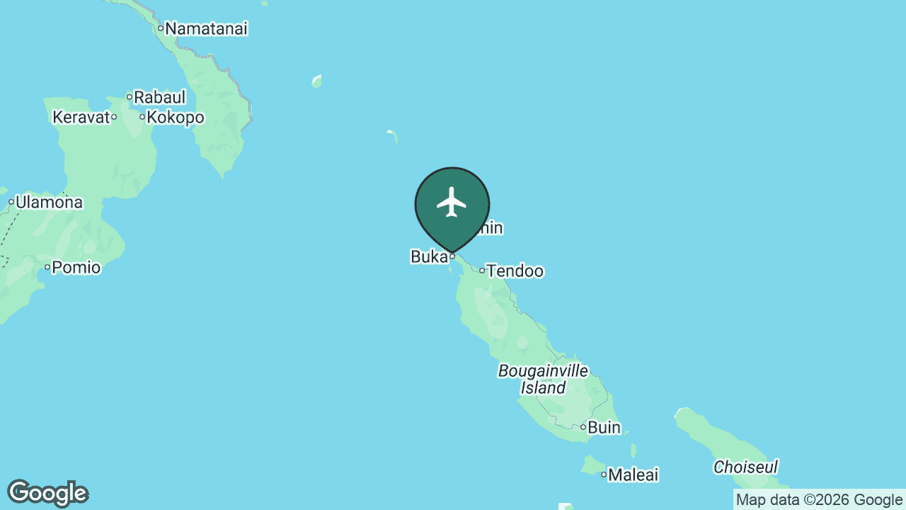
Buka Airport sits on Buka Island, just across a narrow passage from the main island of Bougainville. It is the principal air gateway to the Autonomous Region of Bougainville, which voted overwhelmingly for independence in a 2019 referendum and is on a long road towards possible statehood. With the former capital and airport at Kieta and the Panguna mine long closed, Buka serves as the region’s de facto hub.
Serving Bougainville, BUA reaches about 2 regularly-served destinations, all domestic, linking the region to Rabaul and Port Moresby. For most Bougainvilleans, this short runway is the main connection to the rest of Papua New Guinea.
Main airlines: Air Niugini. See the full route map for BUA on AirportRoutes →
⚓ Madang (MAG)
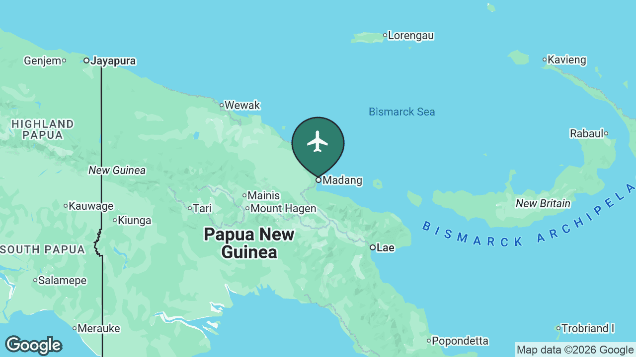
Madang Airport serves the scenic harbour town of Madang on the north coast, often called one of the prettiest towns in the Pacific. Set among islands, reefs and volcanic hills, Madang is a long-standing tourism and diving destination as well as a provincial capital and port.
Serving the central north coast, MAG reaches about 2 regularly-served destinations, all domestic, anchored by Port Moresby and Lae, with feeder links along the coast and into the Highlands.
Main airlines: PNG Air, Air Niugini. See the full route map for MAG on AirportRoutes →
🎭 Goroka (GKA)
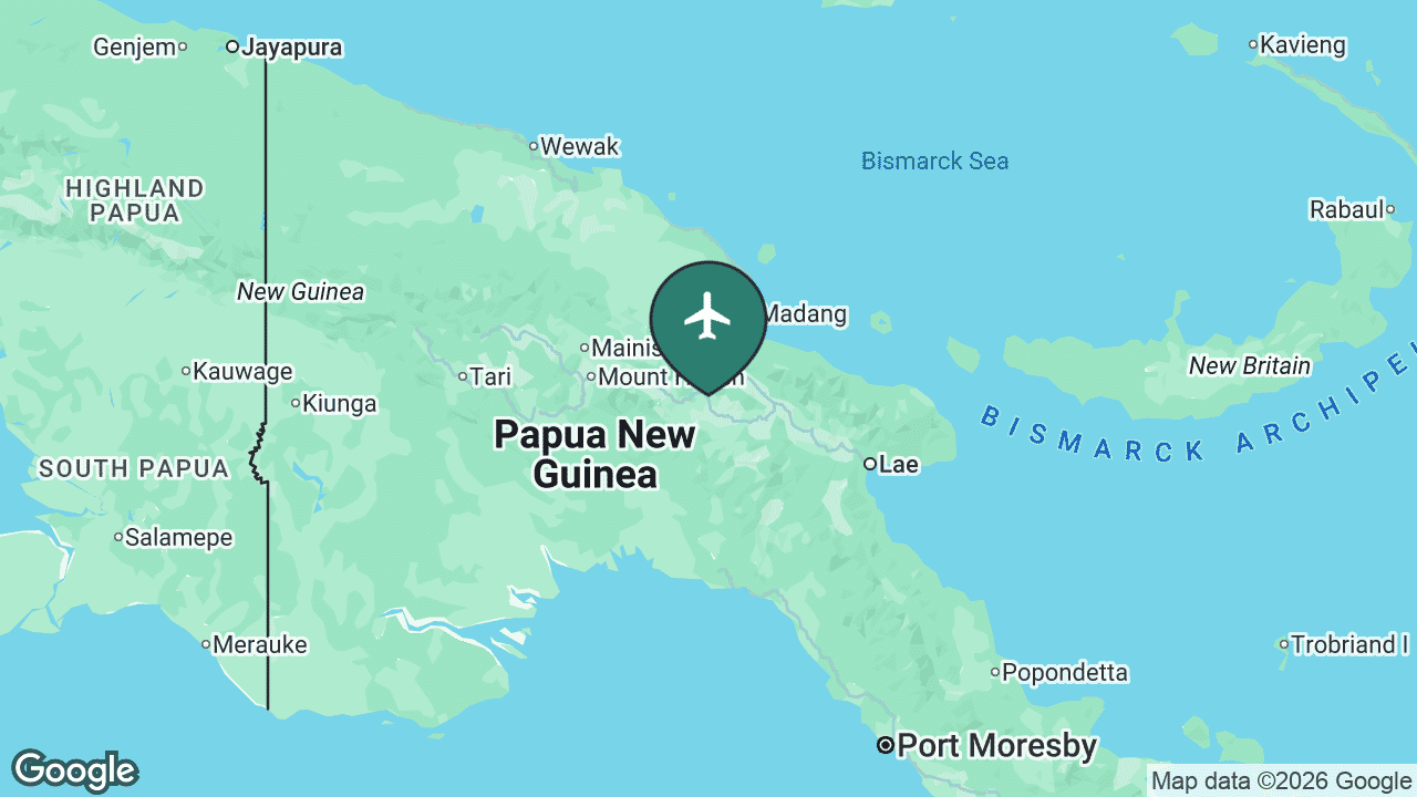
Goroka Airport serves the capital of Eastern Highlands Province, a cool, fertile town that grew up around the coffee trade. The airport sits right beside the town centre and is best known to outsiders as the gateway to the Goroka Show, the country’s most famous cultural festival, where dozens of tribes gather each September for a vast sing-sing.
Serving the eastern Highlands, GKA reaches about 1 regularly-served destination in the sample, the trunk route to Port Moresby, supplemented by short Highlands hops to Mount Hagen and beyond. It ranks below several island airports here, but it remains one of the busier Highlands fields by passenger numbers.
Main airlines: Air Niugini, PNG Air. See the full route map for GKA on AirportRoutes →
🤿 Alotau (GUR)
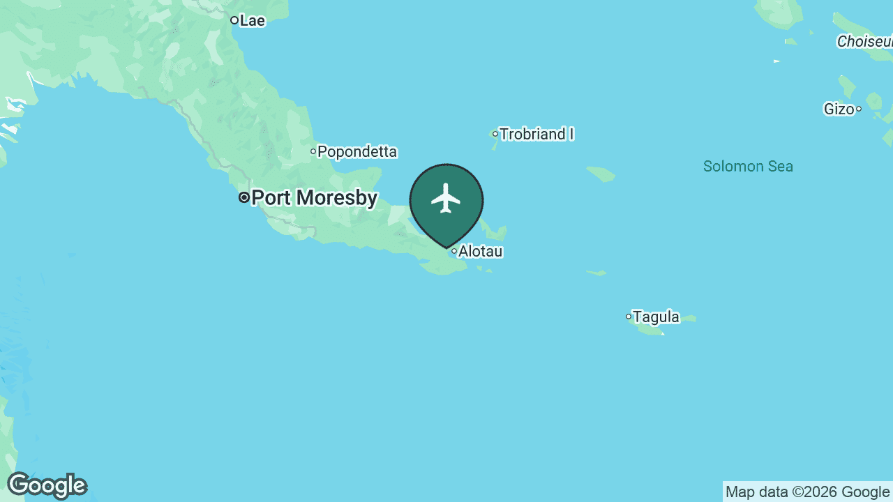
Gurney Airport serves Alotau, the capital of Milne Bay Province at the far south-eastern tip of the New Guinea mainland. The airport carries a strong WWII legacy, built by Allied forces during the 1942 Battle of Milne Bay, and Alotau today is the launching point for the islands, reefs and dive sites of the Milne Bay archipelago.
Serving the south-east, GUR reaches about 1 regularly-served destination in the sample, essentially the link to Port Moresby, with onward connections to the scattered island airstrips of Milne Bay.
Main airlines: Air Niugini. See the full route map for GUR on AirportRoutes →
Papua New Guinea’s other airports
Beyond the airports above, a string of smaller fields fills in the rest of the map, almost all flown by Air Niugini and PNG Air on domestic routes. A couple of them actually rank higher by regularly-served destinations than some of the better-known names.
Kimbe (HKN), served by Hoskins Airport in West New Britain, sits at the heart of the country’s oil-palm belt and quietly ranks among the busier regional airports, while Manus Island (MAS), served by Momote Airport in the far-northern Admiralty Islands, links one of PNG’s most remote provinces and carries its own WWII history. On the south coast, Daru (DAU) in Western Province is the gateway to the Fly River delta and the Torres Strait crossing towards Australia, and Popondetta (PNP), served by Girua Airport in Oro Province, is the air access point for the famous Kokoda Track.
In the north-west, Vanimo (VAI) sits close to the Indonesian border in Sandaun Province and has become a surprise surfing destination, while up in the Highlands Wapenamanda (WBM) in Enga and Mendi (MDU) in Southern Highlands Province connect rugged, road-poor districts where flying is often the only practical way in or out. Together these airports stitch together a country where, for many communities, the nearest runway matters far more than the nearest road.
Airport rankings, nonstop-destination counts, served regions, airline lists and connections are drawn from live AirportRoutes route data (observed AeroAPI flight data, a sample rather than a complete published schedule; we use the regularly-served figure, which filters one-off observations). Airport history and notable facts are cross-checked against the cited references. The ranked map is a Mappr original.
Primary Data Source:
- AirportRoutes: major airports and routes, Papua New Guinea – Live route data: per-airport nonstop destinations, served cities, airlines and connections.
Reference:
- Wikipedia: airports of Papua New Guinea (Jacksons, Nadzab, Mount Hagen and others) – Airport history, location and notable facts referenced in the per-airport sections.
- Air Niugini – Papua New Guinea's national flag carrier; background on the domestic and international network.
- Locator maps: Google Maps / Google Static Maps – Per-airport location maps with airplane markers, generated via Google Static Maps.
Image Sources:
- Map by Mappr – Map of major airports in Papua New Guinea, a Mappr original built from AirportRoutes data and Natural Earth boundaries.
🌍 More maps & data for Papua New Guinea
Browse more: All airports by country


