Key Takeaways
- Google Earth got an AI image tool, briefly. On Thursday, July 30, 2026, Google added its Nano Banana 2 image generator to Google Earth, letting anyone type a prompt and paste a photorealistic AI scene on top of real satellite, aerial and 3D imagery, then download and share it.
- People immediately faked disasters. Within hours, journalists and researchers generated a collapsed Eiffel Tower, cities on fire, a smoldering crater in San Francisco and staged border scenes. One investigator told NPR that in his tests “nothing was refused.”
- Rolled back in about 24 hours. By Friday Google withdrew the feature, citing misinformation risk and policy violations, one day after switching it on for all web users. It is one of the fastest feature reversals a major mapping platform has made.
- Faked satellite imagery is a special danger. We trust satellite photos as ground truth in a way we no longer trust ordinary photos. Tools that paste convincing fakes onto that trusted base layer attack exactly the imagery people fall back on to verify what's real.
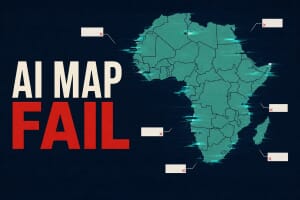
- This is the sequel to a bad week for AI maps. It landed days after the US State Department showed an AI-generated map of Africa with every country mislabeled. Together they show AI's two opposite failure modes with maps: it can't make them accurate, and it can make fakes look far too real.
For one day, you could open Google Earth, zoom to any spot on the planet, type a sentence, and have the software paste a photorealistic scene of your choosing on top of the real satellite view. Then you could download it and share it. Predictably, people used it to fake catastrophes, and Google pulled the feature roughly 24 hours after launching it.
This is the second time in a week that AI and maps have collided badly in public. Days earlier, the US State Department displayed an AI-generated map of Africa with every country in the wrong place. That was AI failing to make a map accurate. This is the opposite and arguably more dangerous failure: AI making a fake map look completely real.
What Google launched, and pulled
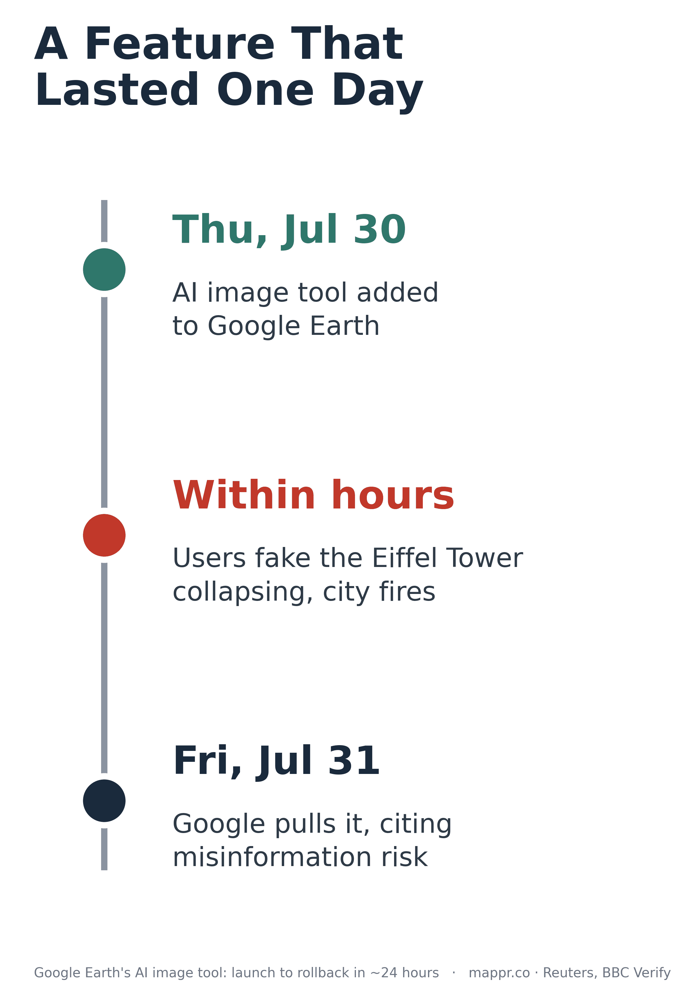
On July 30, Google integrated its Nano Banana 2 image-generation model into the web version of Google Earth, in a feature it called “create image.” The pitch, in Google’s own words, was to help people “visualize history, create real estate plans and more”: zoom to a place, tap a button, and describe what you want to see rendered onto the real imagery.
The problem was that the tool would render almost anything. Reporters at the BBC, NPR, The Atlantic and elsewhere immediately used it to collapse the Eiffel Tower, set cities alight, and stage scenes at borders. Investigator Henk van Ess told NPR that in his testing “nothing was refused.” Because the fakes were built directly on top of Google’s genuine satellite and aerial layers, and could be exported as ordinary images, they carried the visual authority of the real thing. By July 31, Google had rolled the feature back, telling Reuters it was doing so over misinformation and policy-violation concerns.
Why faking satellite imagery is different
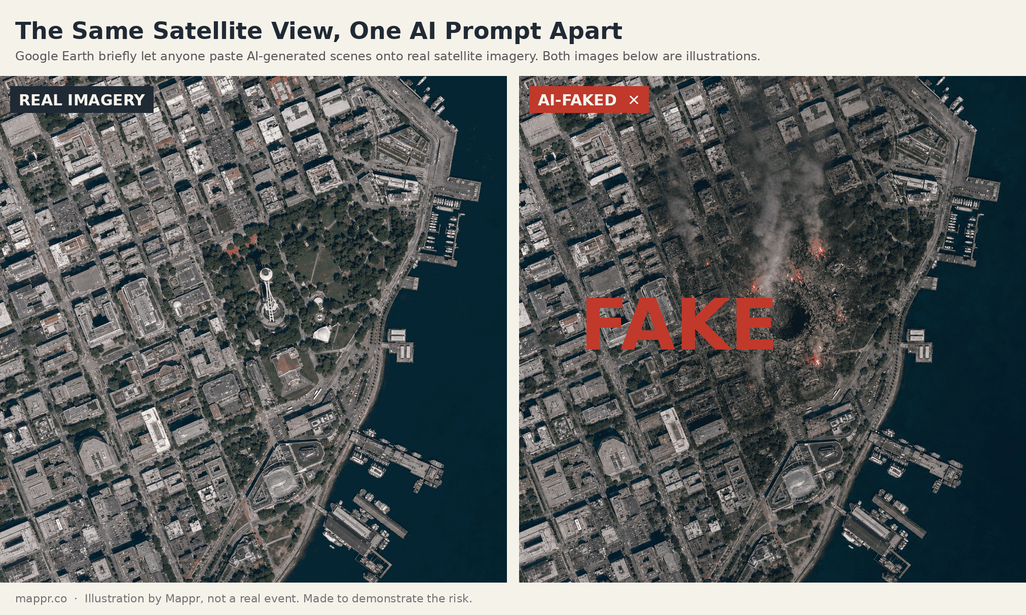
People have learned to be skeptical of photos and video. Satellite imagery is different. It still functions, in newsrooms, courtrooms and everyday arguments, as a last line of verification: when something is disputed, we pull up the overhead view to see what’s actually there. Aerial and satellite images feel objective, machine-made, above the fray.
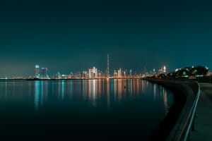
A tool that lets anyone paste a convincing fake onto that base layer, and export it looking like a normal Google Earth capture, attacks precisely that trust. The image above is our own illustration (the disaster on the right never happened), but it shows how little it takes: one prompt turns a calm coastline into a smoking crater, on imagery people would otherwise treat as evidence. During a real crisis, a fabricated “satellite image” of a bombed hospital or a flooded district could circulate for hours before anyone debunks it.
Doctored maps are old. This is faster.
Falsifying maps and aerial imagery is not new. Soviet cartographers deliberately distorted official maps for decades, shifting towns and rivers to mislead adversaries. Governments have long airbrushed sensitive sites out of satellite views, and analysts have caught manipulated aerial images in propaganda campaigns. What changed this week is speed and access: what once needed a state cartography office or a skilled retoucher now takes one sentence from any user, on the world’s most popular Earth-viewing platform.
That’s also why Google’s fast reversal matters. Integrating a general-purpose image generator into a tool people trust for ground truth is a different proposition from putting one in a photo app, and the one-day lifespan of “create image” suggests Google recognized the mismatch only after shipping it.
How to spot a faked satellite image
Check the source, not the image. A real satellite image comes from a provider (Google, Maxar, Sentinel, Planet) with a date and location; a screenshot with no provenance is not evidence. Look for the seams. AI edits often leave lighting that doesn’t match, shadows pointing the wrong way, blurred or warped detail at the edges of the change, and textures that dissolve under zoom. Cross-check another source. If a dramatic “satellite image” only exists as a shared screenshot and doesn’t appear in any mapping service or news wire, treat it as unverified. And be most skeptical when it’s most shareable, a shocking overhead image during breaking news is exactly what a fake is designed to be.
The reliable maps have not changed: they are the ones built from actual survey and satellite data by people whose job is accuracy. If you want the real overhead view of the world, start with an authoritative world map rather than a shareable image of unknown origin, and see our companion piece on the AI map that got all of Africa wrong for the other half of the story.
Sources: