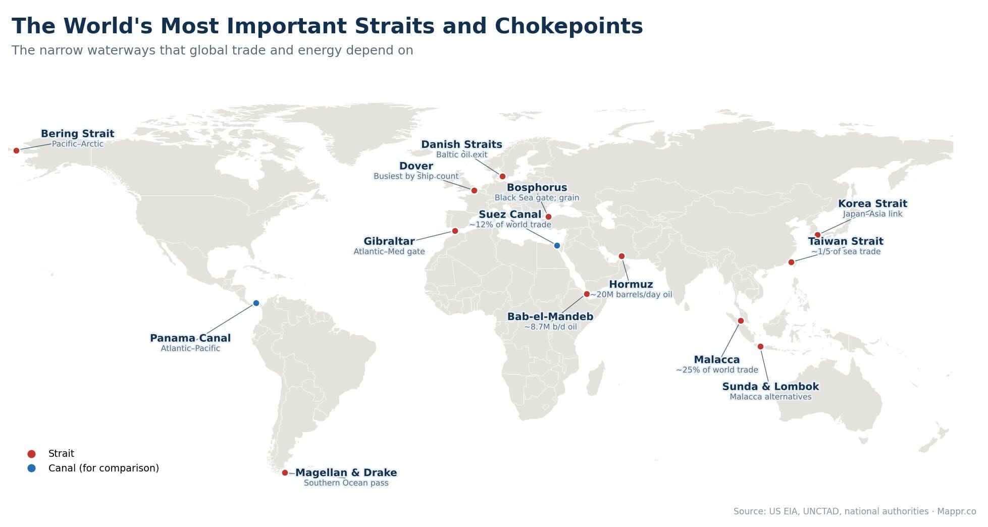
A handful of narrow sea passages carry the weight of the entire global economy. If you funnel the world’s oil tankers, container ships and grain carriers through a map, they converge on a dozen or so pinch points, some barely a kilometre wide, where a single blockage can ripple through supply chains and energy prices within days. These are the world’s maritime chokepoints, and we have mapped the most important of them, both as a whole and one by one.
The 2021 grounding of the Ever Given in the Suez Canal, and the ongoing disruption at Bab-el-Mandeb, are reminders of how fragile these arteries are. A waterway that takes minutes to cross can add two weeks to a voyage when it closes.
Key Takeaways
- Malacca is the busiest. The Strait of Malacca carries roughly a quarter of all traded goods and most of East Asia's oil, funnelling ships through a channel as narrow as 2.7 km near Singapore.
- Hormuz is the oil valve. About 20 million barrels of oil a day, a fifth of global supply, pass through the Strait of Hormuz, the only sea exit from the Persian Gulf.
- Taiwan Strait carries a fifth of sea trade. Around one fifth of global maritime trade crosses the Taiwan Strait, which is also one of the world's most closely watched military flashpoints.
- Some are astonishingly narrow. The Bosphorus is only about 700 m across at its tightest, and the Strait of Magellan around 2 km, yet both carry huge volumes of trade.
- One closure reroutes the world. When Bab-el-Mandeb became unsafe, most Asia-Europe container traffic diverted around the Cape of Good Hope, adding 3,000+ nautical miles and 10 to 14 days per voyage.
What makes a strait a chokepoint
A strait is simply a narrow strip of water connecting two larger bodies. It becomes a chokepoint when so much traffic depends on it that there is no easy alternative. The defining features are always the same: it is narrow, it sits on a route with no convenient detour, and a huge share of trade or energy relies on it. The same narrow waters also carry much of the world’s submarine internet cables, stacking another layer of critical infrastructure into a few vulnerable points. Below, we look at each of the major ones up close.
The oil chokepoints
Energy is where chokepoints matter most. Four narrow passages carry the bulk of the world’s seaborne crude.
Strait of Hormuz
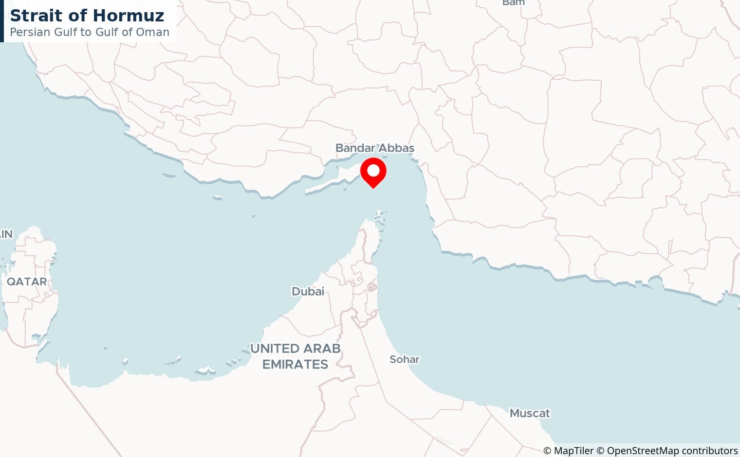
The Strait of Hormuz is the single most important oil chokepoint. Around 20 million barrels a day, a fifth of global supply, pass through the only sea route out of the Persian Gulf, along with much of the world’s liquefied natural gas. Any tension in the Gulf moves oil prices within hours.
Bab-el-Mandeb
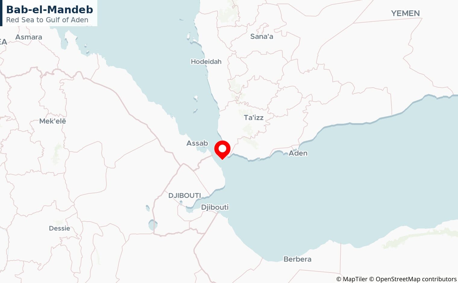
Bab-el-Mandeb is the southern gate to the Suez route, between Yemen and Djibouti. Roughly 8.7 million barrels a day normally pass through, but Houthi attacks since late 2023 have pushed much of the traffic onto the long route around Africa.
The Bosphorus
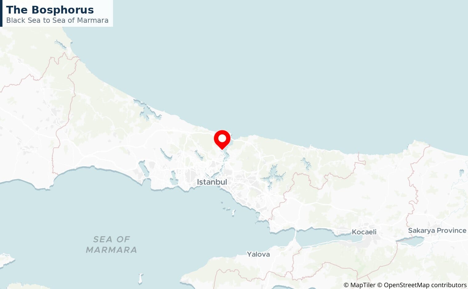
Barely 700 metres wide at its tightest and running through the middle of Istanbul, the Bosphorus is the only outlet from the Black Sea. It carries Russian and Ukrainian oil and grain out to the Mediterranean and the world.
The Danish Straits
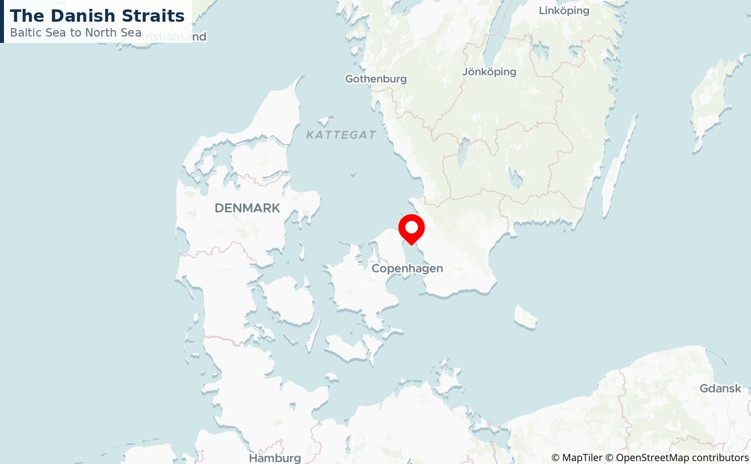
The narrow exits from the Baltic Sea, threading between Denmark and Sweden. They handle the bulk of Russia’s Baltic oil exports and all Baltic seaborne trade.
The trade superhighways
For containers and bulk goods rather than oil, the busiest arteries are the Strait of Malacca and the two great canals.
Strait of Malacca
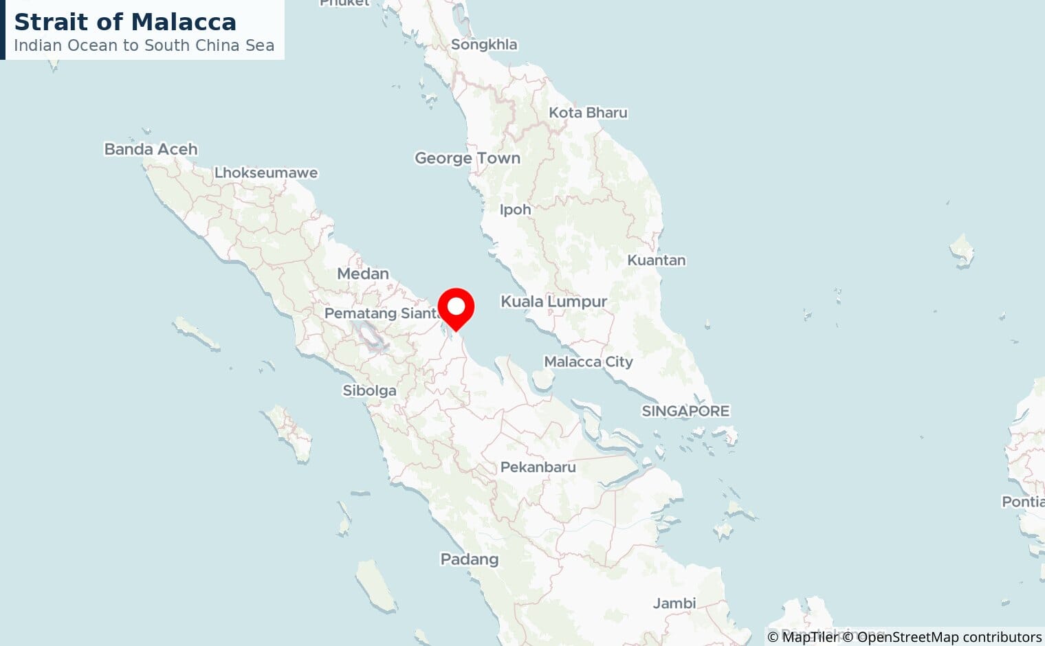
The world’s busiest chokepoint, linking the Indian Ocean to the South China Sea. It carries about a quarter of all traded goods and squeezes shipping through a channel less than 3 km wide near Singapore.
Suez Canal
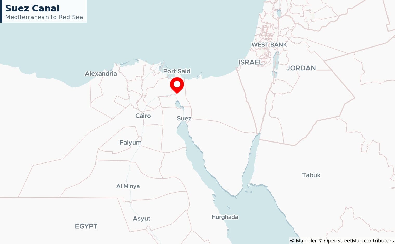
The Suez Canal is the Asia to Europe shortcut, cutting out the long trip around Africa. It handles 12 to 15% of world trade, and the 2021 grounding of the Ever Given showed how much rides on it, holding up an estimated 10 billion dollars of trade a day.
Panama Canal
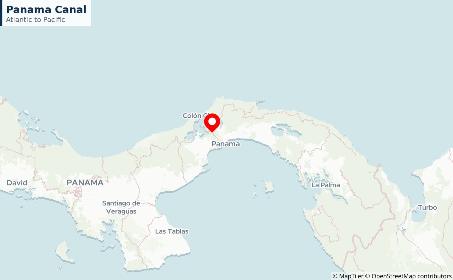
The Atlantic to Pacific short cut through Central America, vital for routes between Asia and the US east coast. Recent droughts have repeatedly forced it to cut the number of ships it can handle.
Taiwan Strait
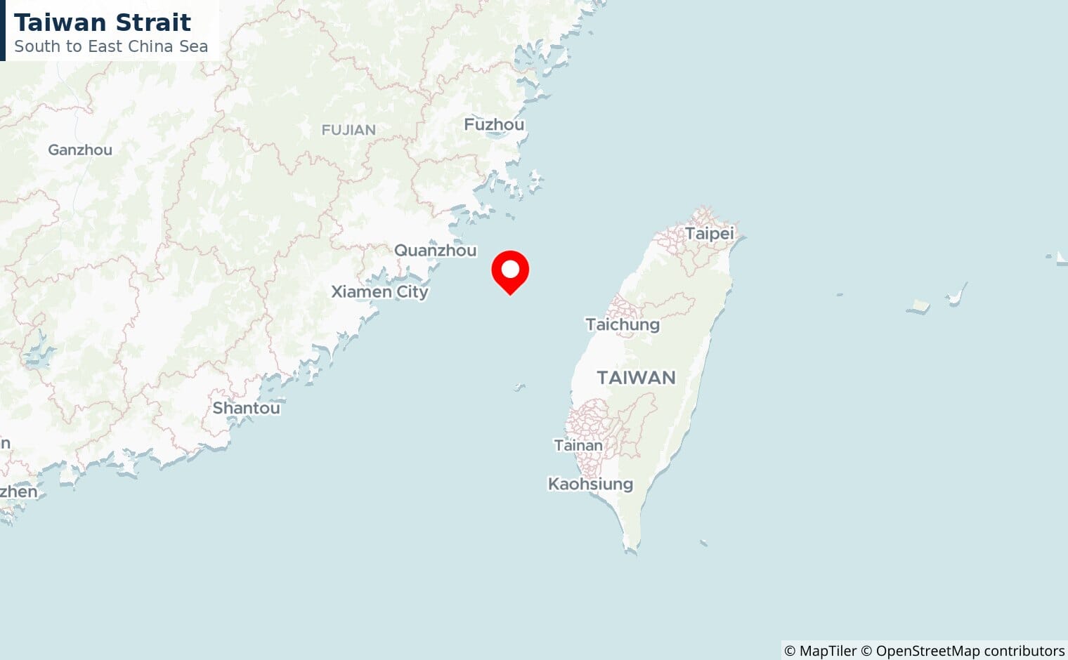
Around a fifth of global maritime trade passes through the strait separating Taiwan from mainland China, making it both an economic artery and one of the world’s tensest military flashpoints.
Strait of Dover
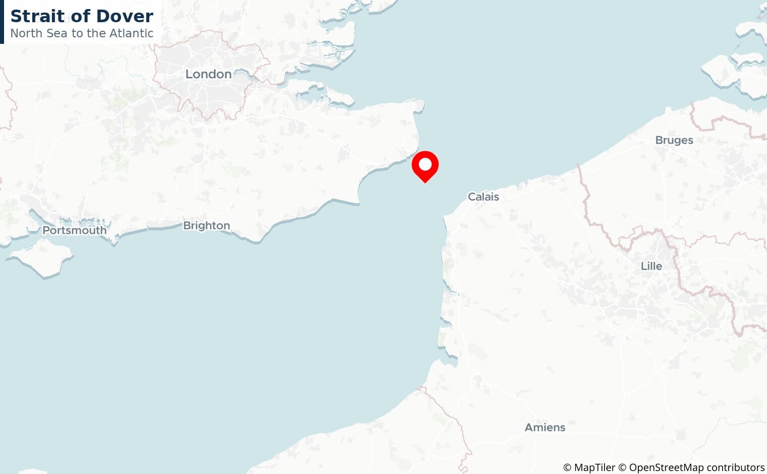
The busiest strait in the world by number of ships, funnelling English Channel traffic between the North Sea and the Atlantic past 400 or more vessels a day.
Gateways and alternatives
Strait of Gibraltar
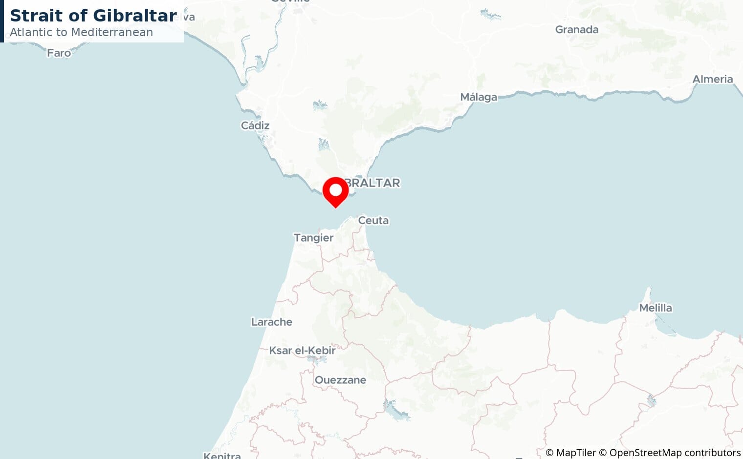
Just 13 km wide, it is the only sea link between the Atlantic and the Mediterranean and the crossing point between Europe and Africa, overlooked by the British territory of Gibraltar, with over 100,000 ships a year.
Sunda and Lombok Straits
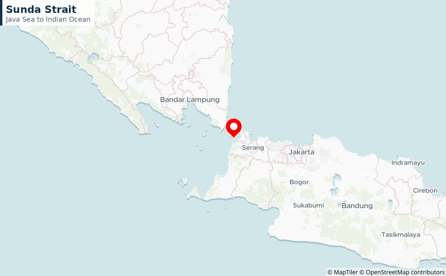
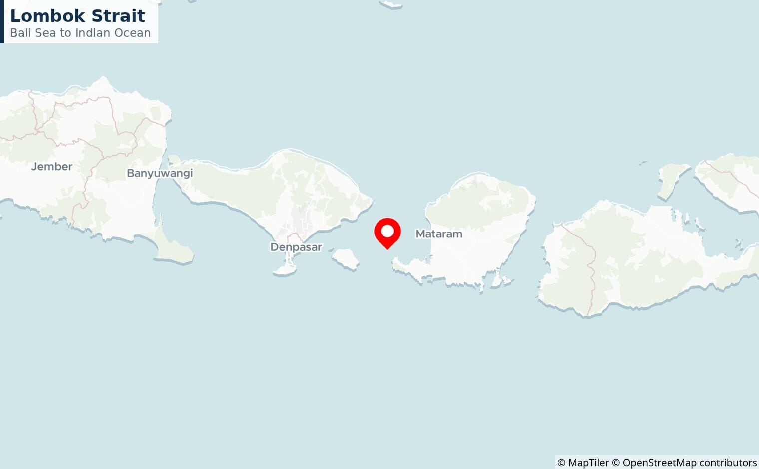
Indonesia’s alternatives to Malacca. The Sunda Strait is shallow and narrow, while deeper Lombok is the route the largest, fully laden tankers take when they cannot fit through Malacca.
Korea (Tsushima) Strait
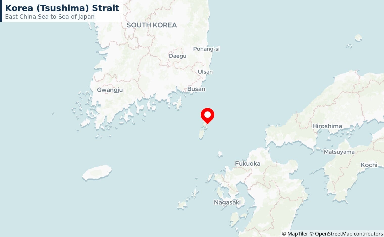
The Tsushima Strait between Korea and Japan is a key artery for Japanese and South Korean trade and energy imports.
Strait of Magellan
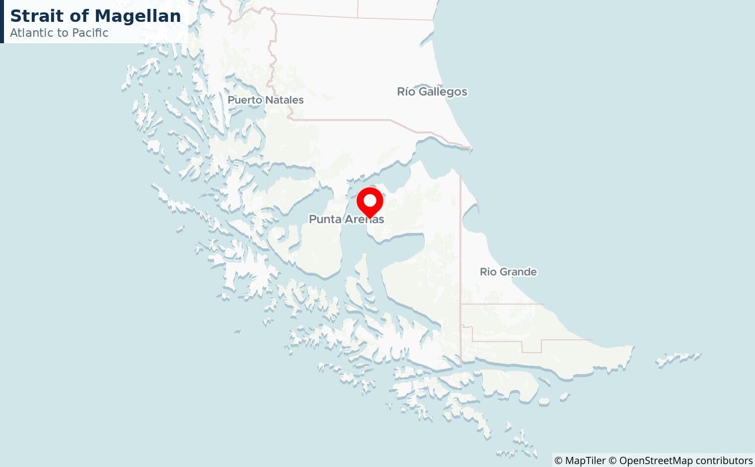
The sheltered passage through the tip of South America, used before the Panama Canal opened and still a calmer alternative to the stormy Drake Passage further south.
Bering Strait
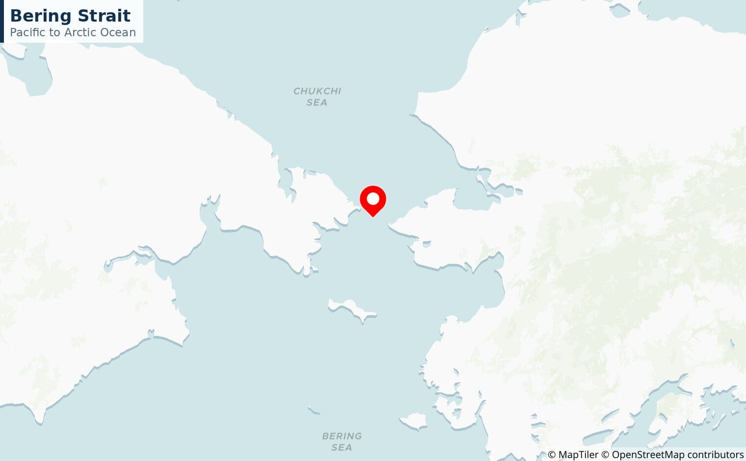
The narrow gap between Russia and Alaska linking the Pacific to the Arctic, and the gateway to shipping routes that are slowly opening as Arctic sea ice retreats.
When a chokepoint closes
The value of a chokepoint is clearest when it fails. When Houthi attacks made Bab-el-Mandeb unsafe from late 2023, most Asia-Europe container traffic rerouted around the Cape of Good Hope, adding more than 3,000 nautical miles and 10 to 14 days to each voyage and pushing freight rates sharply higher and feeding through to fuel prices. Drought has repeatedly forced the Panama Canal to cut its traffic. Each episode is a reminder that the modern economy runs on a small number of narrow waterways, and that there is rarely a quick alternative.