The flag of Equatorial Guinea is a vivid tapestry, symbolizing the nation’s rich cultural diversity and natural beauty. It symbolizes the country’s dynamic journey and aspirations, reflecting a harmonious fusion of tradition and progress.
Flag of Equatorial Guinea
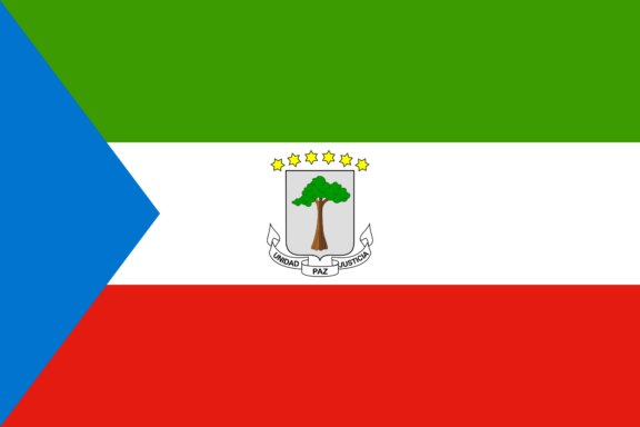
The Equatorial Guinea flag showcases a striking arrangement of green, white, and red horizontal stripes, complemented by a prominent blue triangle at the hoist. This design elegantly encapsulates the nation’s diverse landscape and prosperous history while emphasizing its maritime connections.
Flag of Equatorial Guinea: Color Palette
Equatorial Guinea Flag Emoji: 🇬🇶
The color palette of Equatorial Guinea’s flag presents a harmonious and meaningful blend. Each hue is carefully chosen for visual appeal and its deep representation of the nation’s character. From the verdant green to the deep blue, these colors unite to tell a story of the country’s environment, history, and aspirations.
Meaning of Each Color

Green
The top stripe of green in Equatorial Guinea’s flag symbolizes the country’s abundant natural vegetation and rich rainforests, a crucial aspect of its geography. Historically, green represents growth and vitality, reflecting the nation’s development and commitment to preserving its natural environment.
White
The central white stripe stands for peace and unity. In many cultures, white is associated with purity and harmony, significant in Equatorial Guinea’s struggle for national cohesion and stability, particularly following its path to independence.
Red
The red stripe at the bottom of the flag embodies the bloodshed in the fight for independence and the enduring strength of the people. Red is frequently linked with courage and sacrifice, resonating deeply with the nation’s history of resilience and its struggle for sovereignty.
Blue Triangle
The blue triangle at the hoist side of the flag represents the Atlantic Ocean, which is crucial to the country’s geography as it borders the mainland and encompasses the islands that form part of the nation. Blue, symbolizing trust and loyalty, reflects the importance of the maritime environment to the country’s culture and economy.
Equatorial Guinea Coat of Arms
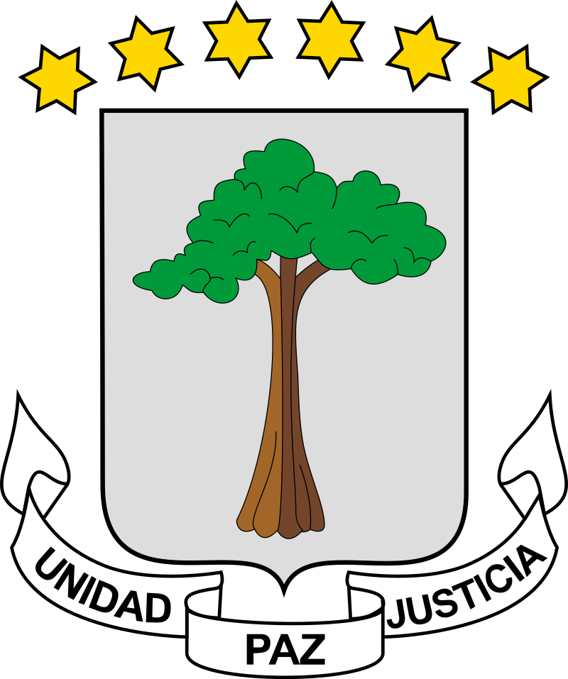
The Coat of Arms of Equatorial Guinea reflects the country’s rich heritage and diverse natural environment. It typically features elements symbolic of the nation’s landscape, resources, and cultural identity, distinct from but complementary to the imagery on the national flag.
This emblem plays a crucial role in representing the nation’s sovereignty and its unique place in the world.
Historical Evolution and the Meaning Behind Changes
The flag of Equatorial Guinea, first hoisted upon independence on October 12, 1968, initially didn’t display any emblems at its center. This changed in 1973 when Francisco Nguema’s regime introduced a different emblem featuring various tools, a sword, and a cockerel.
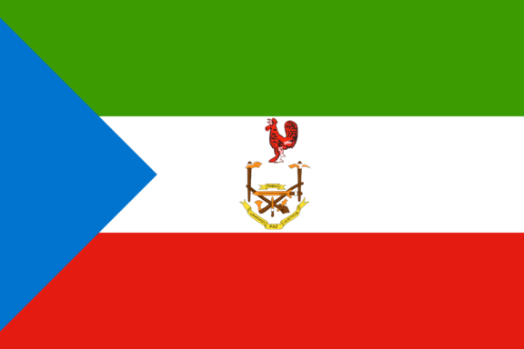
Following the end of Nguema’s rule in 1979, the original flag, with its initial emblem, was reinstated and continues to represent the nation.
While the flag’s colors have remained constant, symbolizing the nation’s landscapes, peace, independence struggles, and maritime significance, these changes mark significant moments in Equatorial Guinea’s evolving political and cultural landscape.
Today, the flag of Equatorial Guinea stands as a symbol of the nation’s enduring spirit and evolving identity. Its steadfast colors and evolving symbols reflect a resilient journey and a continuous quest for unity and self-expression.
As the nation looks forward, this flag remains a proud emblem of its rich past, diverse culture, and the unyielding aspirations of its people.
Overall Symbolic Meaning of the Flag
The flag of Equatorial Guinea serves as a vivid emblem of the nation’s collectiveness and multifaceted identity. Its design weaves together elements reflecting the country’s rich natural environment, march towards sovereignty, and deep connection to its maritime heritage.
This flag stands not just as a national symbol but as a narrative tapestry, eloquently capturing the essence of Equatorial Guinea’s past, present ambitions, and hopes for the future.
Similar Flags to the Flag of Equatorial Guinea
In the diverse tapestry of global flags, several share striking similarities with that of Equatorial Guinea. Here are the top flags that resemble Equatorial Guinea’s and the reasons for these parallels.
Iran
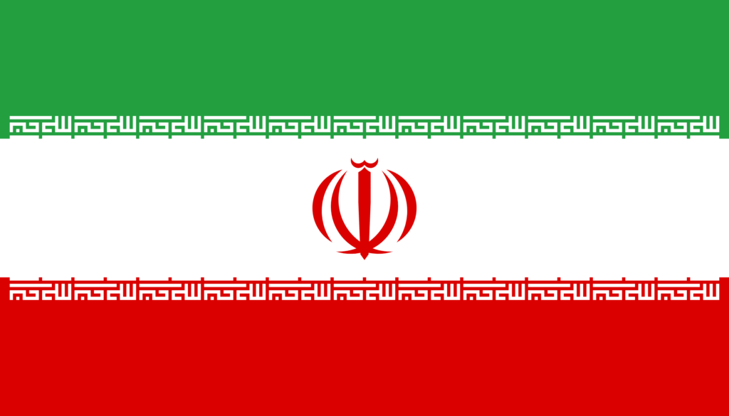
Iran’s flag shares the green, white, and red tricolors with Equatorial Guinea’s. This similarity, common in many national flags, is where the resemblance lies, although the meanings attributed to these colors differ significantly in each country’s cultural and historical context.
Comoros
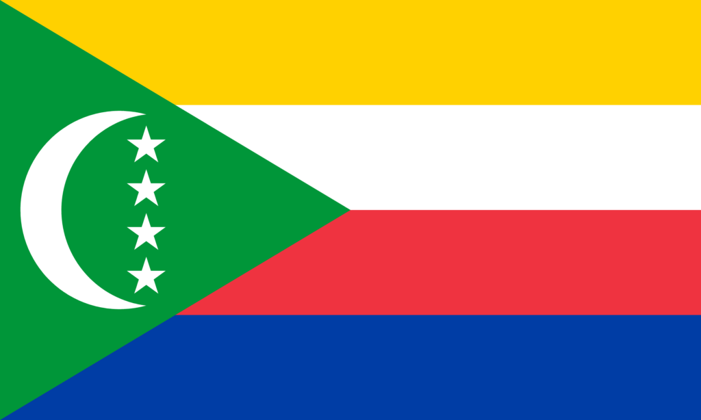
The flag of Comoros, like Equatorial Guinea’s, incorporates a green triangle, a symbol often used in Islamic countries. The presence of green, white, and red in both flags points to a broader use of these colors in various national symbols despite differing cultural and historical interpretations.
Conclusion
The flag of Equatorial Guinea encapsulates the nation’s journey, embodying its cultural richness and the aspirations of its people. It stands unique among the world’s flags, forging a common purpose and pride for Equatorial Guineans as they look to their shared future.


- Equatorial Guinea Flag Against Blue Sky — © Creative Photo Corner/Shutterstock