Alaska is so massive that if you placed it over the lower 48 states, it would stretch from coast to coast. At 665,384 square miles, it’s more than twice the size of Texas — the second-largest state. Together, the 15 biggest US states by area account for over 72% of the country’s total land, yet many of them are among the least densely populated places in America.
Below, we rank every state in the top 15 by total area (land + water), map them, and share what makes each one geographically unique.
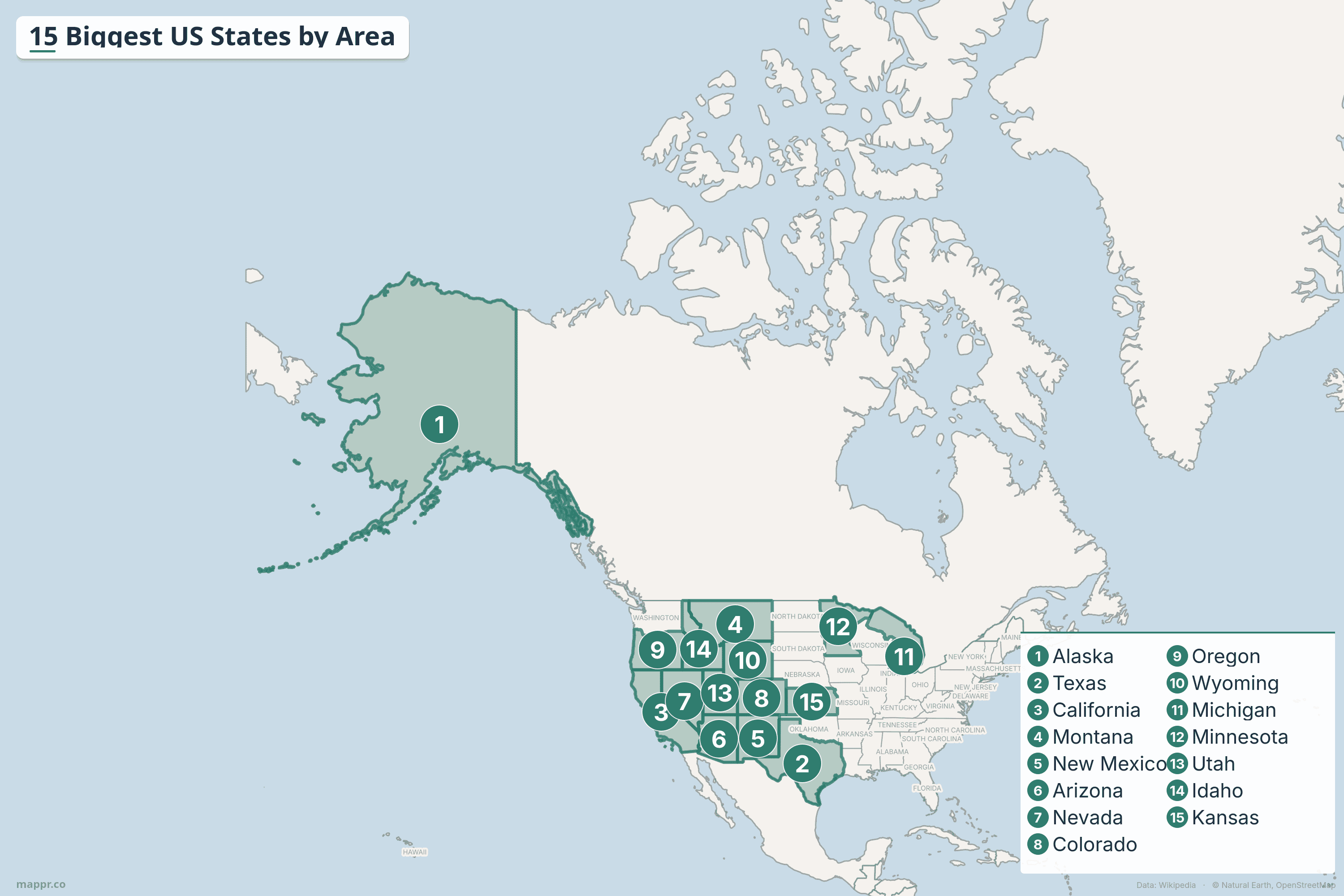
Map: Biggest US States by Area
Key Takeaways
- Alaska (665,384 mi²) is by far the largest state — 2.4× bigger than Texas and larger than the next three states combined.
- Western states dominate: 11 of the 15 biggest states are in the American West, where federal land ownership is high and population density is low.
- Texas (268,596 mi²) is the largest state in the contiguous US — it’s bigger than France and could fit the UK inside it nearly 3 times.
- The smallest state (Rhode Island) could fit inside Alaska approximately 425 times.
- Michigan ranks 11th despite being in the Midwest — its area is boosted by the Great Lakes waters within its borders.
Complete Rankings: 15 Biggest US States
| Rank | State | Total Area (mi²) | Total Area (km²) | Capital | Region |
|---|---|---|---|---|---|
| 1 | Alaska | 665,384 | 1,723,337 | Juneau | Pacific |
| 2 | Texas | 268,596 | 695,662 | Austin | South Central |
| 3 | California | 163,696 | 423,972 | Sacramento | Pacific |
| 4 | Montana | 147,040 | 380,831 | Helena | Mountain |
| 5 | New Mexico | 121,590 | 314,917 | Santa Fe | Mountain |
| 6 | Arizona | 113,990 | 295,234 | Phoenix | Mountain |
| 7 | Nevada | 110,572 | 286,380 | Carson City | Mountain |
| 8 | Colorado | 104,094 | 269,601 | Denver | Mountain |
| 9 | Oregon | 98,379 | 254,799 | Salem | Pacific |
| 10 | Wyoming | 97,813 | 253,335 | Cheyenne | Mountain |
| 11 | Michigan | 96,714 | 250,487 | Lansing | Great Lakes |
| 12 | Minnesota | 86,936 | 225,163 | Saint Paul | Upper Midwest |
| 13 | Utah | 84,897 | 219,882 | Salt Lake City | Mountain |
| 14 | Idaho | 83,569 | 216,443 | Boise | Mountain |
| 15 | Kansas | 82,278 | 213,100 | Topeka | Midwest |
1. Alaska
Alaska is the largest US state at 665,384 square miles (1.72 million km²). Purchased from Russia in 1867 for $7.2 million (about 2 cents per acre), it’s one of the great bargains in history. Alaska has more coastline than all other US states combined and contains Denali (20,310 ft), the highest peak in North America.
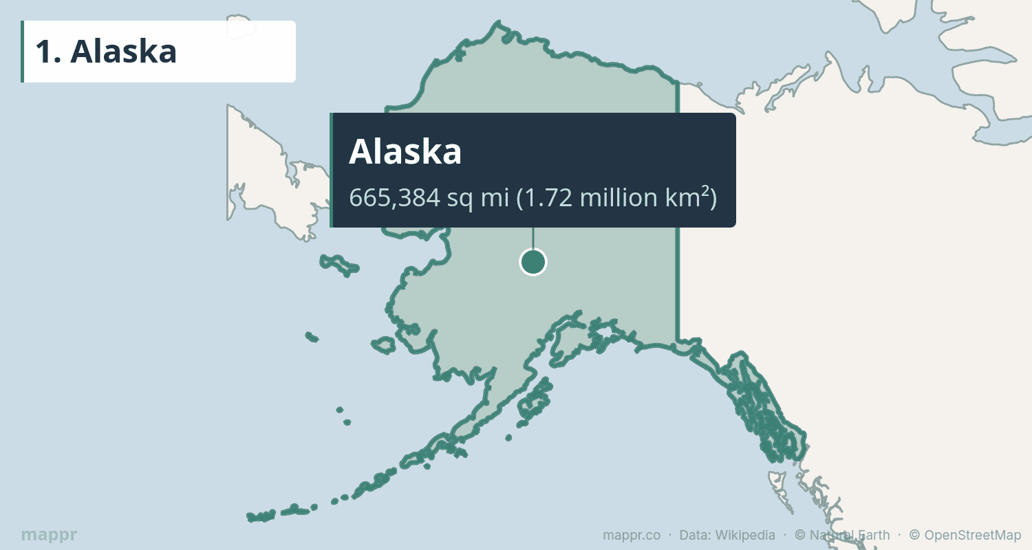
Despite its enormous size, Alaska has a population of just 733,000 — fewer than Charlotte, North Carolina. About one-third of the state lies above the Arctic Circle. Its national parks include eight of the fifteen largest in the US, with Wrangell-St. Elias alone being larger than Switzerland.
2. Texas
Texas covers 268,596 square miles, making it the largest state in the contiguous US. From the pine forests of East Texas to the deserts of Big Bend, the Gulf Coast beaches to the Panhandle plains, the Lone Star State encompasses almost every biome found in North America.
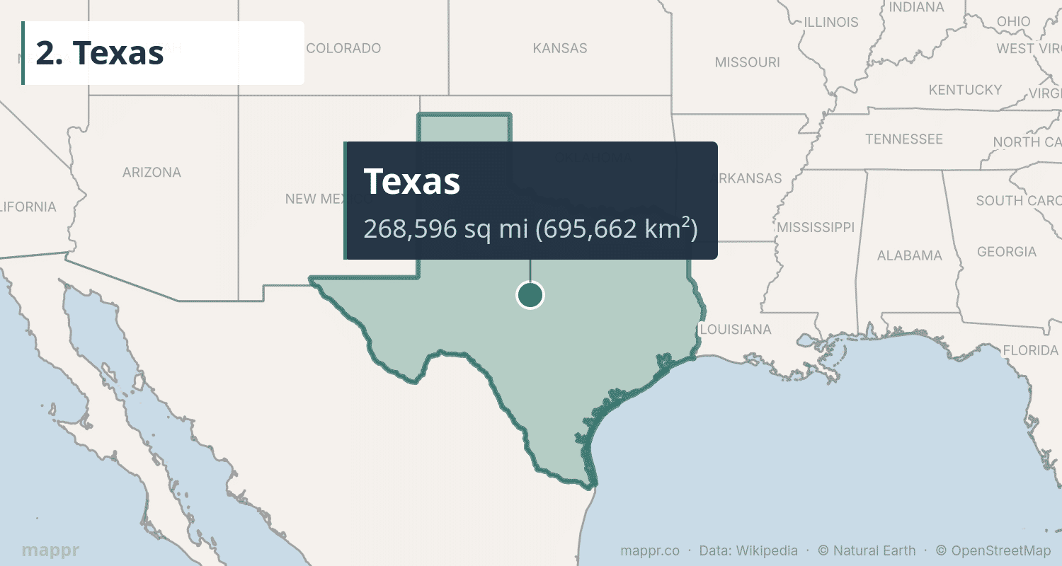
With nearly 30 million residents, Texas is also the second most populous state. Its economy — driven by energy, technology, agriculture, and aerospace — would rank as the 8th largest in the world if it were an independent country. The distance from El Paso to Orange (easternmost Texas) is greater than the distance from Orange to Jacksonville, Florida.
3. California
California spans 163,696 square miles along the Pacific Coast, making it the third-largest and most populous US state (39 million people). From the highest point in the lower 48 (Mt. Whitney at 14,505 ft) to the lowest point in North America (Death Valley at -282 ft), California has extraordinary geographic diversity.
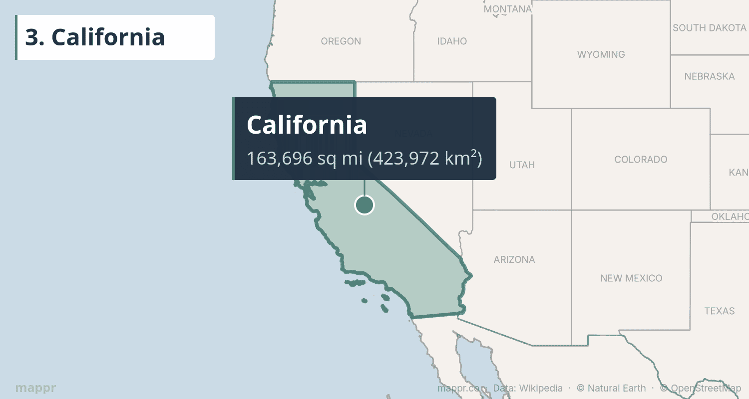
The state’s 840-mile coastline, the Sierra Nevada mountains, the Central Valley (one of the world’s most productive agricultural regions), and ancient redwood forests make it one of the most geographically varied places on Earth. California’s GDP of $4 trillion would make it the world’s 4th largest economy.
4. Montana
Montana, the “Big Sky Country,” covers 147,040 square miles of mountains, plains, and river valleys. It’s the 4th largest state but ranks 44th in population with just over 1.1 million residents. Glacier National Park, straddling the Continental Divide, is one of America’s crown jewels.
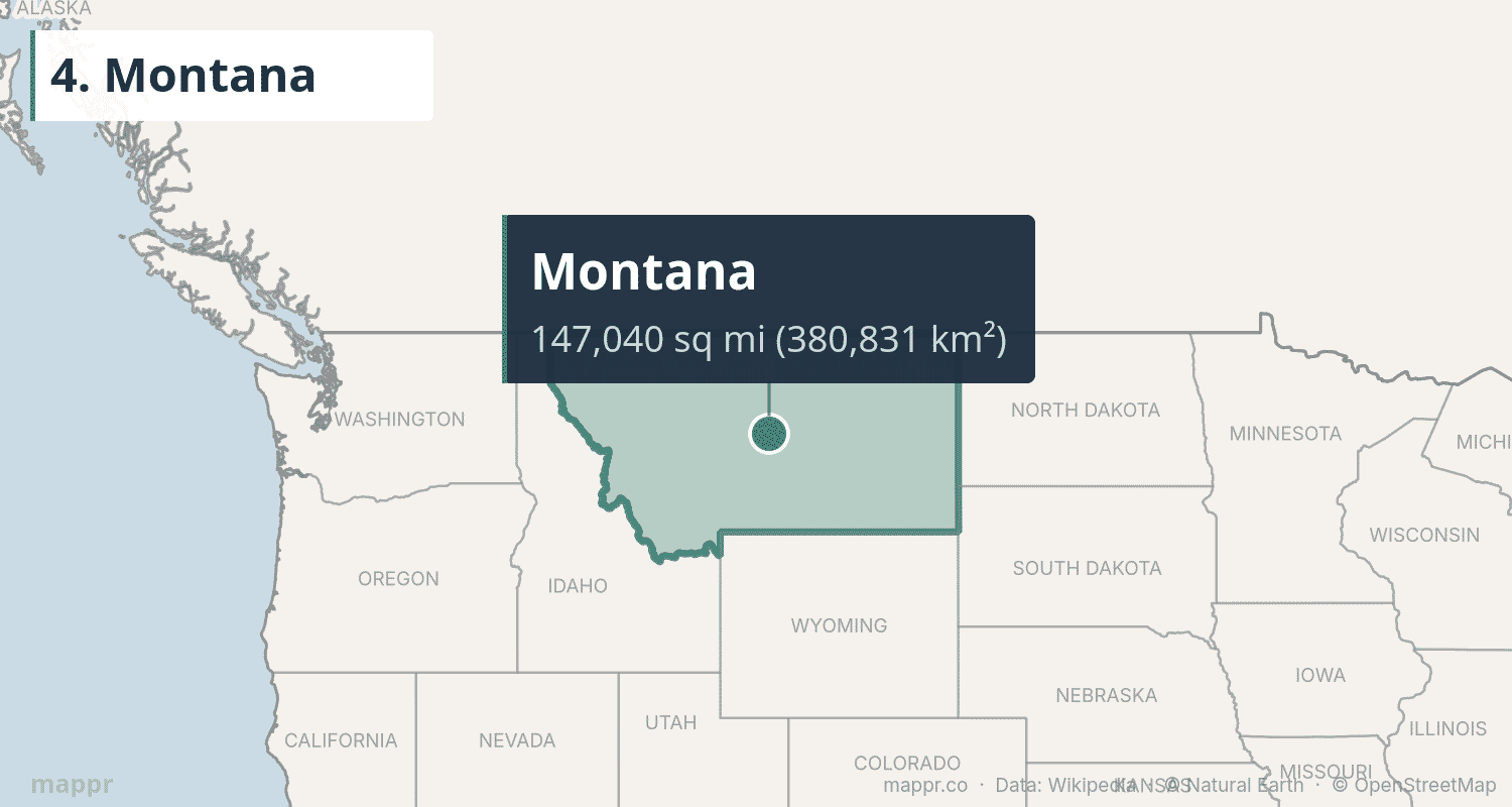
Montana has more cattle than people and contains the headwaters of three major river systems — the Missouri, Columbia, and Saskatchewan. The western third is dramatically mountainous, while the eastern two-thirds consists of the Great Plains.
5. New Mexico
New Mexico covers 121,590 square miles of high desert, mesas, and mountains. The “Land of Enchantment” has a unique cultural heritage blending Native American, Hispanic, and Anglo traditions. Carlsbad Caverns, White Sands National Park, and the ancient Pueblo ruins at Chaco Canyon showcase its natural and cultural richness.
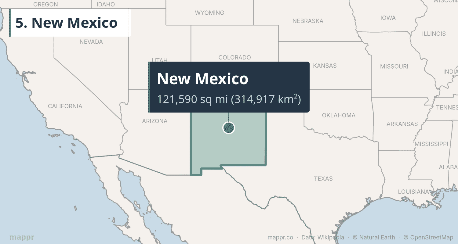
Santa Fe, the state capital, is the oldest capital city in the US (founded 1610) and sits at 7,199 feet elevation. New Mexico’s economy is shaped by Los Alamos and Sandia national laboratories, oil and gas production, and a growing film industry.
6. Arizona
Arizona spans 113,990 square miles of desert landscape, canyon country, and surprising forests. Home to the Grand Canyon — one of the Seven Natural Wonders of the World — Arizona attracts millions of visitors annually. The state ranges from low Sonoran Desert (around 100 ft elevation) to the San Francisco Peaks (12,637 ft).
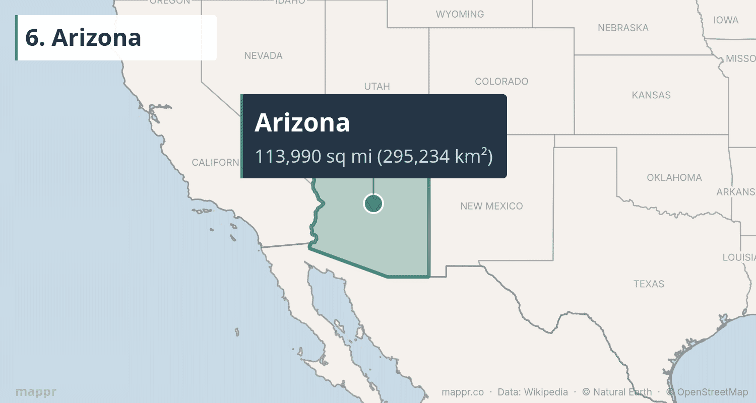
Phoenix, the capital and largest city, is the 5th most populous city in the US with nearly 1.7 million residents. Notably, most of Arizona does not observe Daylight Saving Time (the Navajo Nation is the exception).
7. Nevada
Nevada covers 110,572 square miles of basin-and-range terrain, making it the 7th largest state. The “Silver State” is the driest state in the US, with an average annual precipitation of just 9.5 inches. Despite the arid conditions, it’s home to the Las Vegas Strip, Lake Tahoe, and the starkly beautiful Great Basin.
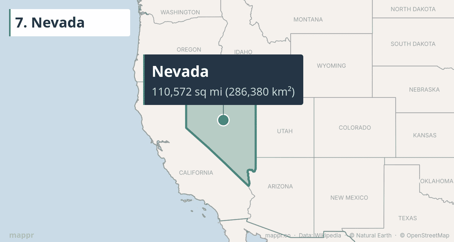
About 85% of Nevada’s land is owned by the federal government — the highest proportion of any state. This includes the Nevada Test Site (where nuclear weapons were tested) and the mysterious Area 51. Nearly 3.2 million people live in the state, with most concentrated in the Las Vegas metropolitan area.
8. Colorado
Colorado covers 104,094 square miles (269,602 km²) and is the 8th largest US state. The “Centennial State” has 58 peaks above 14,000 feet — called “fourteeners” — more than any other state. The Rocky Mountains run through its center, dividing the Great Plains to the east from the Colorado Plateau to the west.
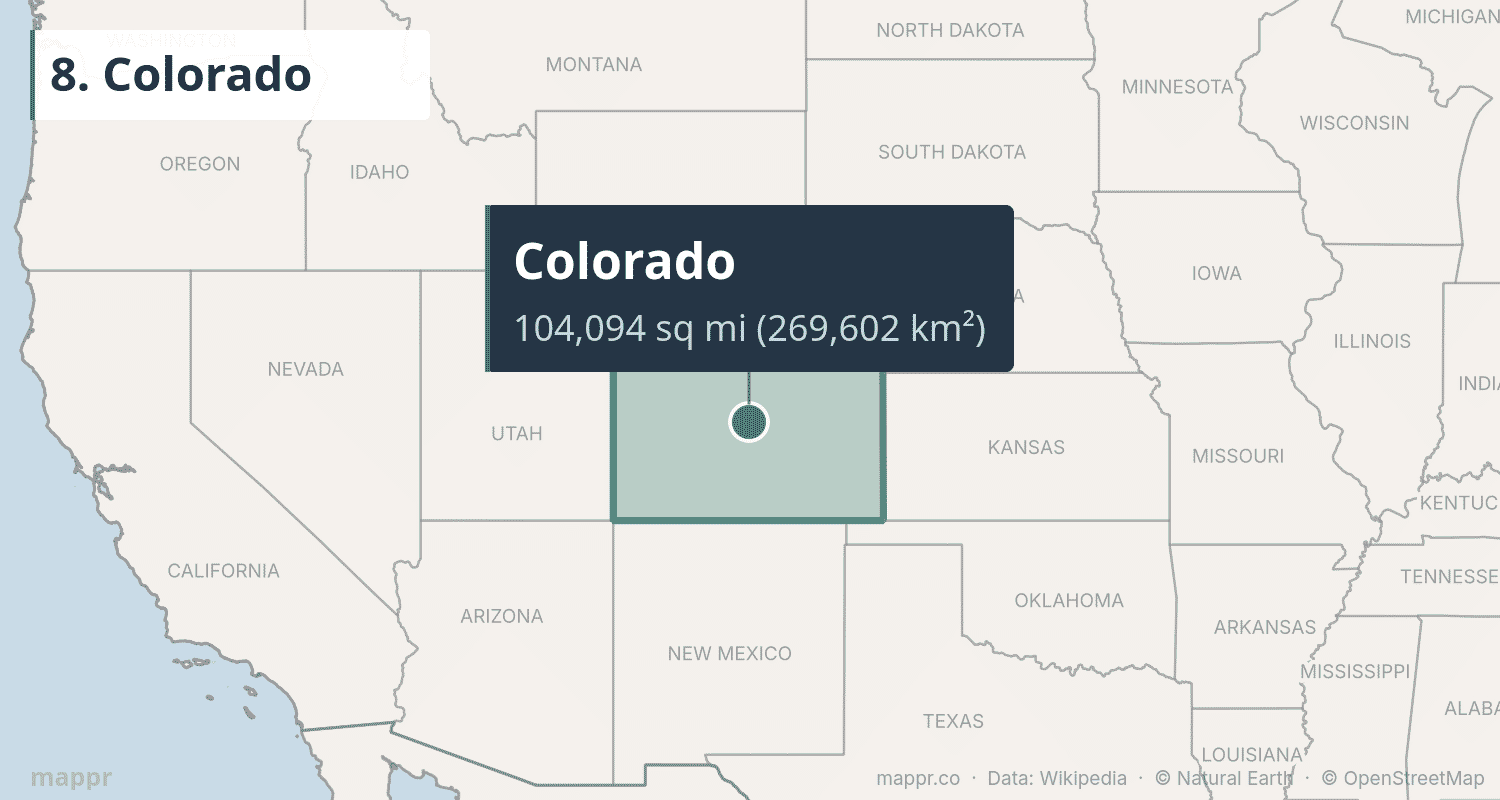
Denver, the “Mile High City,” sits at exactly 5,280 feet elevation. Colorado’s economy runs on aerospace, tech, energy, and tourism — the state’s ski resorts generate over $5 billion annually. Despite its mountain reputation, roughly 40% of the state is flat prairie.
9. Oregon
Oregon spans 98,379 square miles (254,799 km²) from the Pacific Coast through the Cascade Range to high desert. The 9th largest state offers some of the most diverse landscapes in the West — rugged sea stacks along the coast, volcanic peaks like Mount Hood, old-growth temperate rainforest, and the painted hills of the eastern desert.
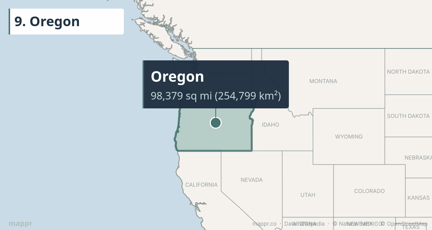
Crater Lake, formed in the caldera of an ancient volcano, is the deepest lake in the US at 1,943 feet. Oregon is one of only two states (along with New Jersey) where you can’t pump your own gas. About 48% of the state is covered by forest.
10. Wyoming
Wyoming covers 97,813 square miles (253,335 km²), making it the 10th largest state. It’s also the least populous state in the US with about 577,000 residents — fewer than many mid-sized cities. Wyoming is home to Yellowstone, America’s first national park (established 1872), and the dramatic peaks of Grand Teton.
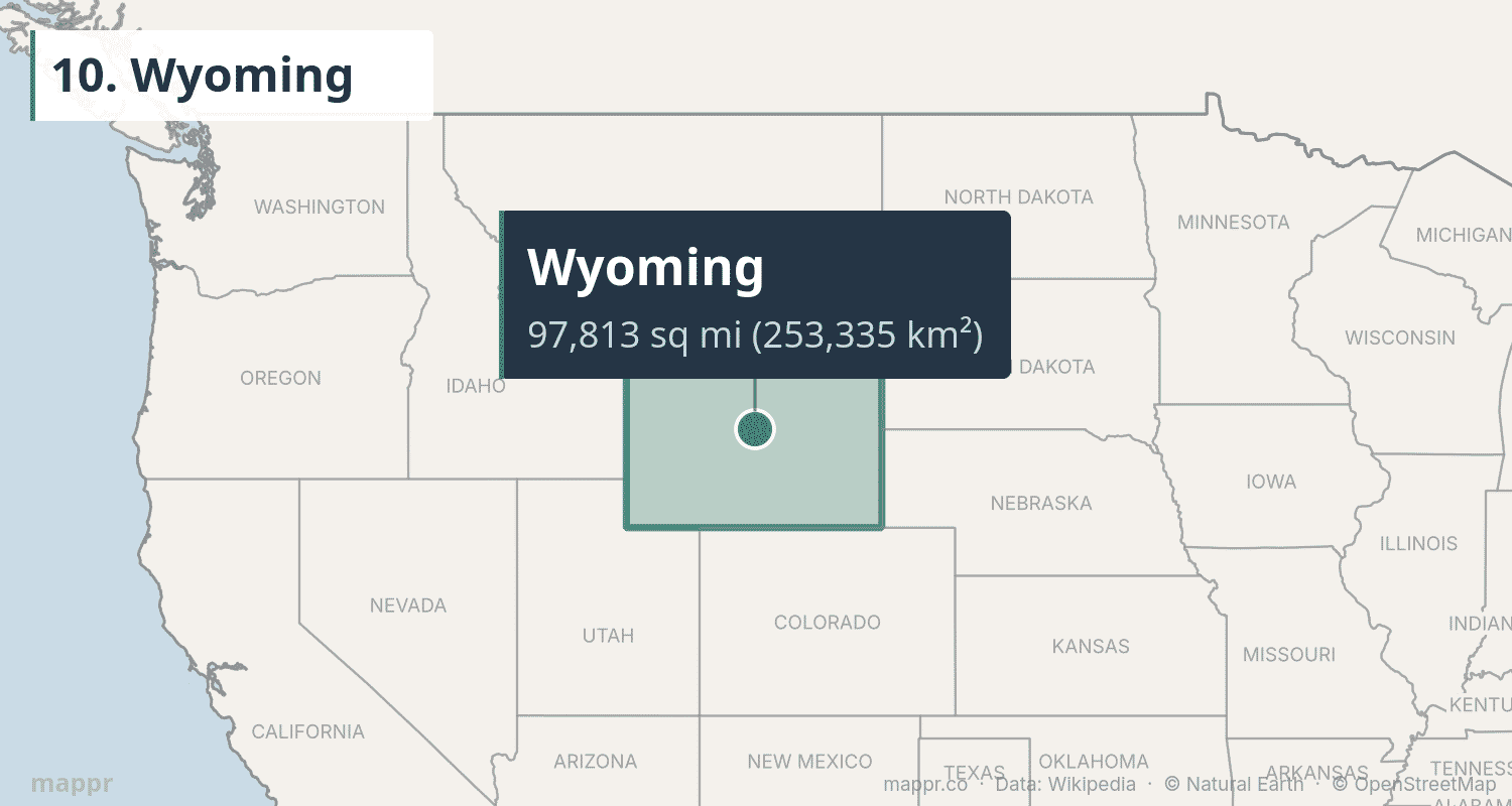
Devils Tower, the first US National Monument (1906), rises 867 feet above the Belle Fourche River. Wyoming’s economy depends heavily on mineral extraction — it produces about 40% of the nation’s coal and is a major natural gas producer.
11. Michigan
Michigan covers 96,714 square miles (250,487 km²), making it the 11th largest state. Its distinctive two-peninsula geography — connected by the Mackinac Bridge — is surrounded by four of the five Great Lakes. Michigan has more freshwater coastline than any other state: 3,288 miles of it.
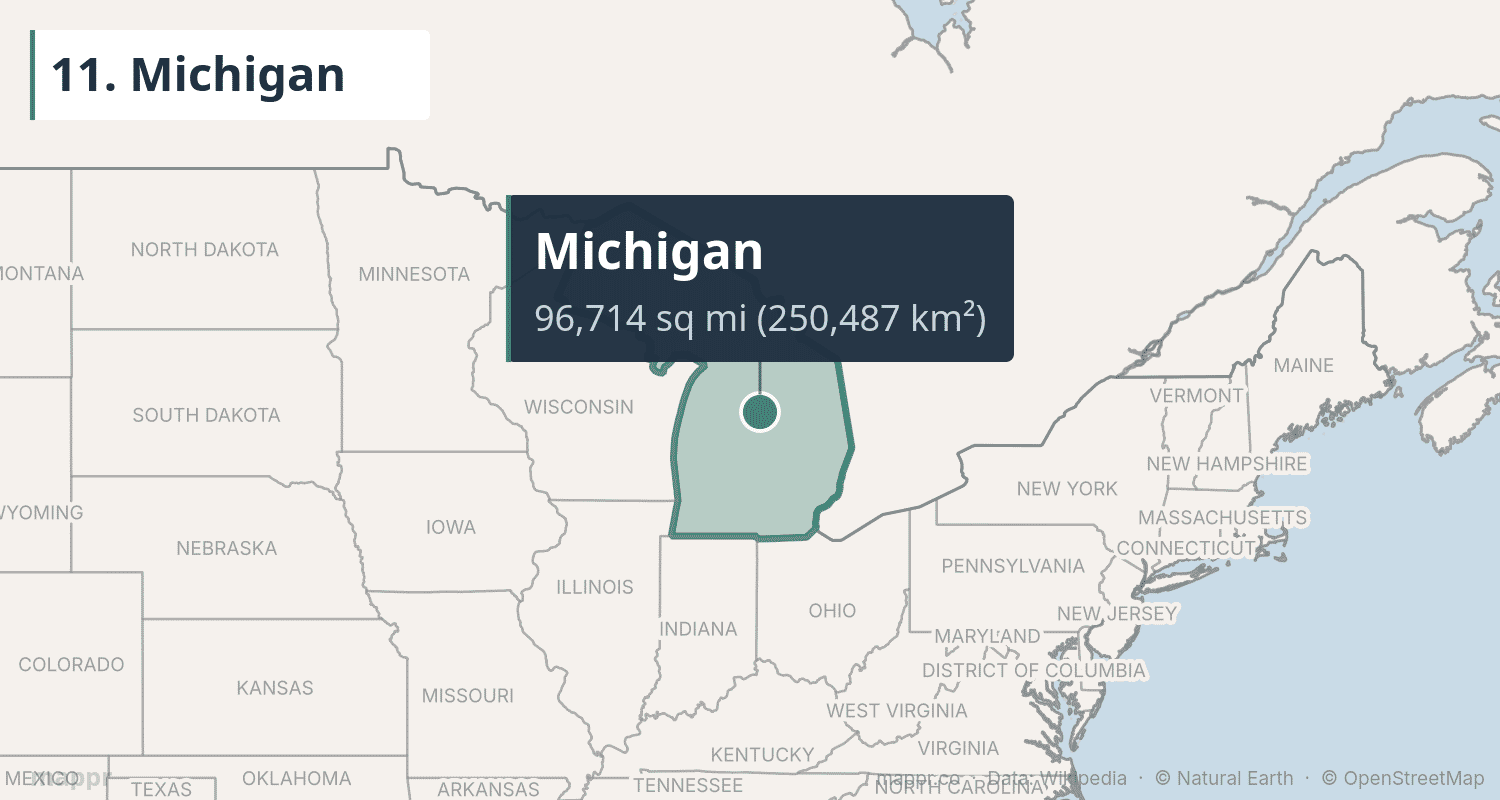
The Upper Peninsula is largely wilderness — forests, waterfalls, and copper country — while the Lower Peninsula is home to Detroit, the birthplace of the American auto industry. Michigan’s total area gets a significant boost from its Great Lakes waters, which account for about 40% of its total area.
12. Minnesota
Minnesota spans 86,936 square miles (225,163 km²) across the Upper Midwest. The “Land of 10,000 Lakes” actually has 11,842 lakes of ten acres or more. Minnesota is the northernmost state in the contiguous US — the Northwest Angle juts above the 49th parallel into Canada.
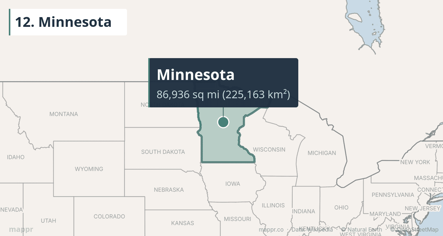
The Mississippi River begins at Lake Itasca in northern Minnesota, starting its 2,340-mile journey to the Gulf of Mexico. The Twin Cities metro (Minneapolis–Saint Paul) is a major economic hub, home to 16 Fortune 500 companies — more per capita than any other metro area.
13. Utah
Utah covers 84,897 square miles (219,882 km²) of canyonlands, salt flats, and mountain ranges. The “Beehive State” is known for its five national parks — Arches, Bryce Canyon, Canyonlands, Capitol Reef, and Zion — collectively called the “Mighty Five.”
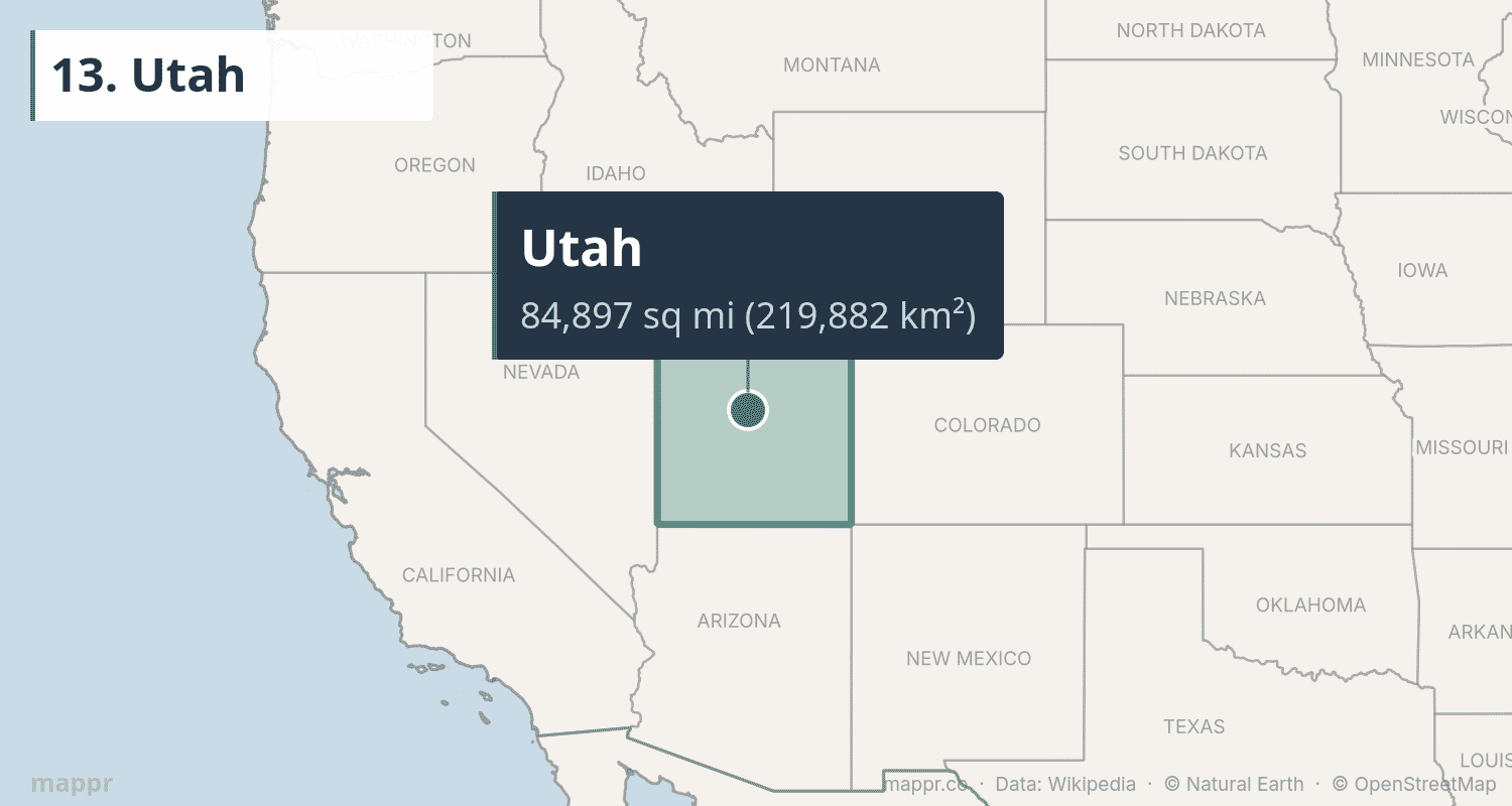
The Great Salt Lake is the largest saltwater lake in the Western Hemisphere, though it has been shrinking dramatically in recent years. The Bonneville Salt Flats, remnants of an ancient lake bed, have hosted land speed records since 1914. Utah’s population of 3.4 million is heavily concentrated along the Wasatch Front.
14. Idaho
Idaho covers 83,569 square miles (216,443 km²), making it the 14th largest state. Tucked into the Rocky Mountains of the Pacific Northwest, it is one of the most rugged and least crowded states in the country, with vast national forests and Hells Canyon, the deepest river gorge in North America.
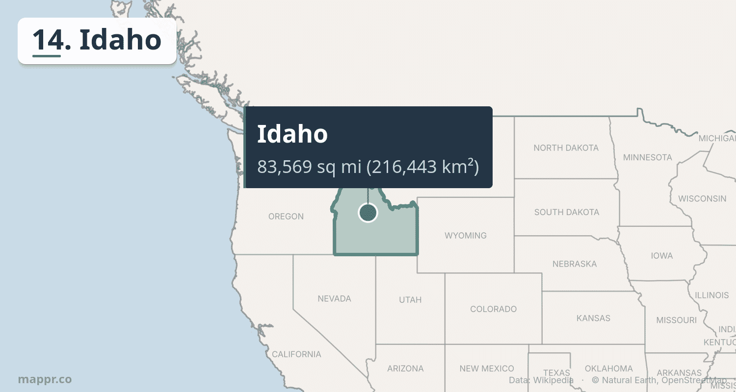
Home to about 2 million residents, Idaho is best known for its potatoes, which make up roughly a third of the US crop, but its economy has broadened into technology and manufacturing around Boise, one of the fastest-growing state capitals in the country. From the jagged Sawtooth Range and Craters of the Moon to the whitewater of the Salmon River, much of the state remains wild public land.
15. Kansas
Kansas spans 82,278 square miles (213,100 km²), making it the 15th largest state. Sitting close to the geographic center of the contiguous United States, it is a Great Plains state defined by tallgrass prairie in the east and the flat, open wheat country of the High Plains to the west.
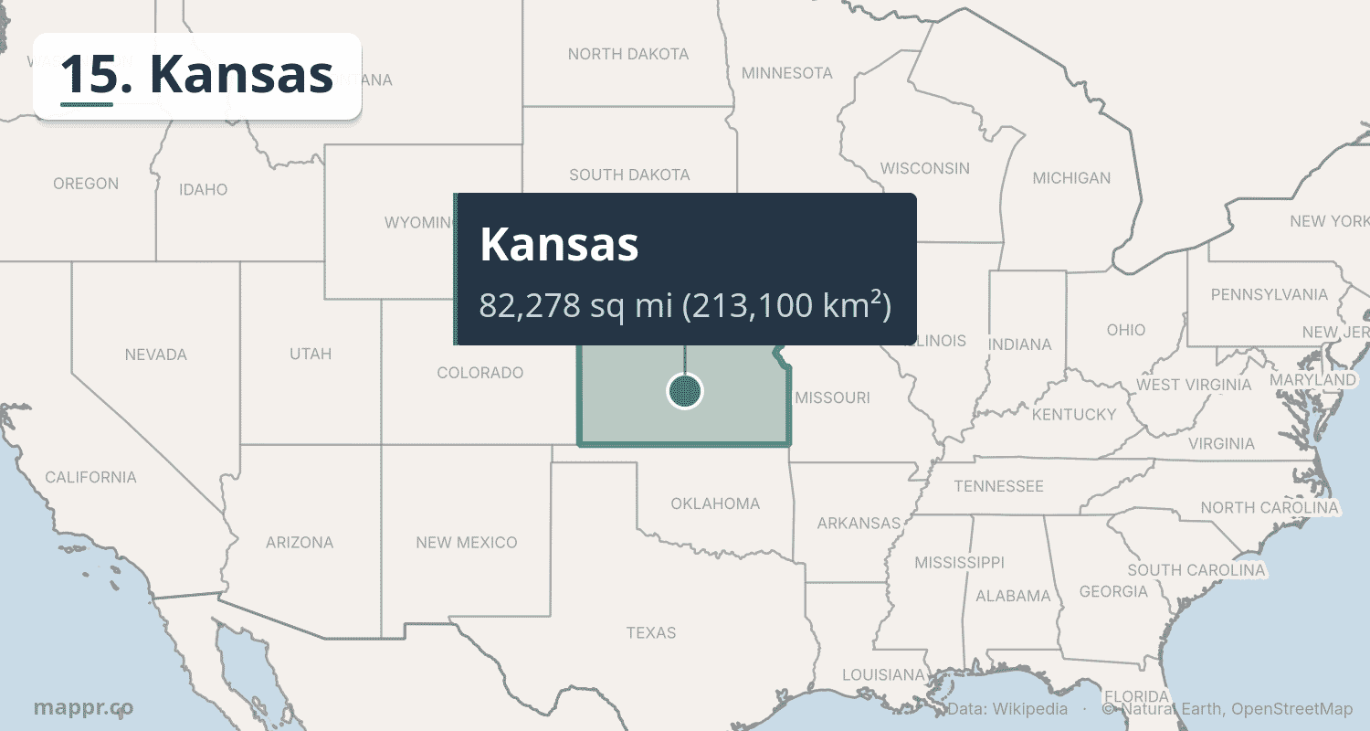
Home to roughly 3 million people, Kansas is one of the nation’s agricultural powerhouses, ranking first in US wheat production and among the leaders in cattle and grain sorghum. The Flint Hills hold some of the last large stretches of tallgrass prairie in North America. Topeka is the state capital, while Wichita, the largest city, grew into a major center of aircraft manufacturing.
Size Comparisons: US States vs. Countries
To appreciate how massive these states are, consider some international comparisons:
- Alaska is larger than France, Spain, Germany, and the UK combined
- Texas is larger than France (248,573 mi²)
- California is roughly the size of Japan (145,937 mi²) plus Switzerland
- Montana is larger than Japan
- Wyoming is about the size of the United Kingdom (94,058 mi²)
Methodology
Rankings are based on total area (land + water) as reported by the US Census Bureau. Total area includes inland water bodies within state borders but not offshore territorial waters. Population figures are 2024 US Census estimates.


This post uses data from the following sources.
Data Sources:
- State Area Measurements and Internal Point Coordinates – US Census Bureau
- State Population Totals: 2020-2024 – US Census Bureau