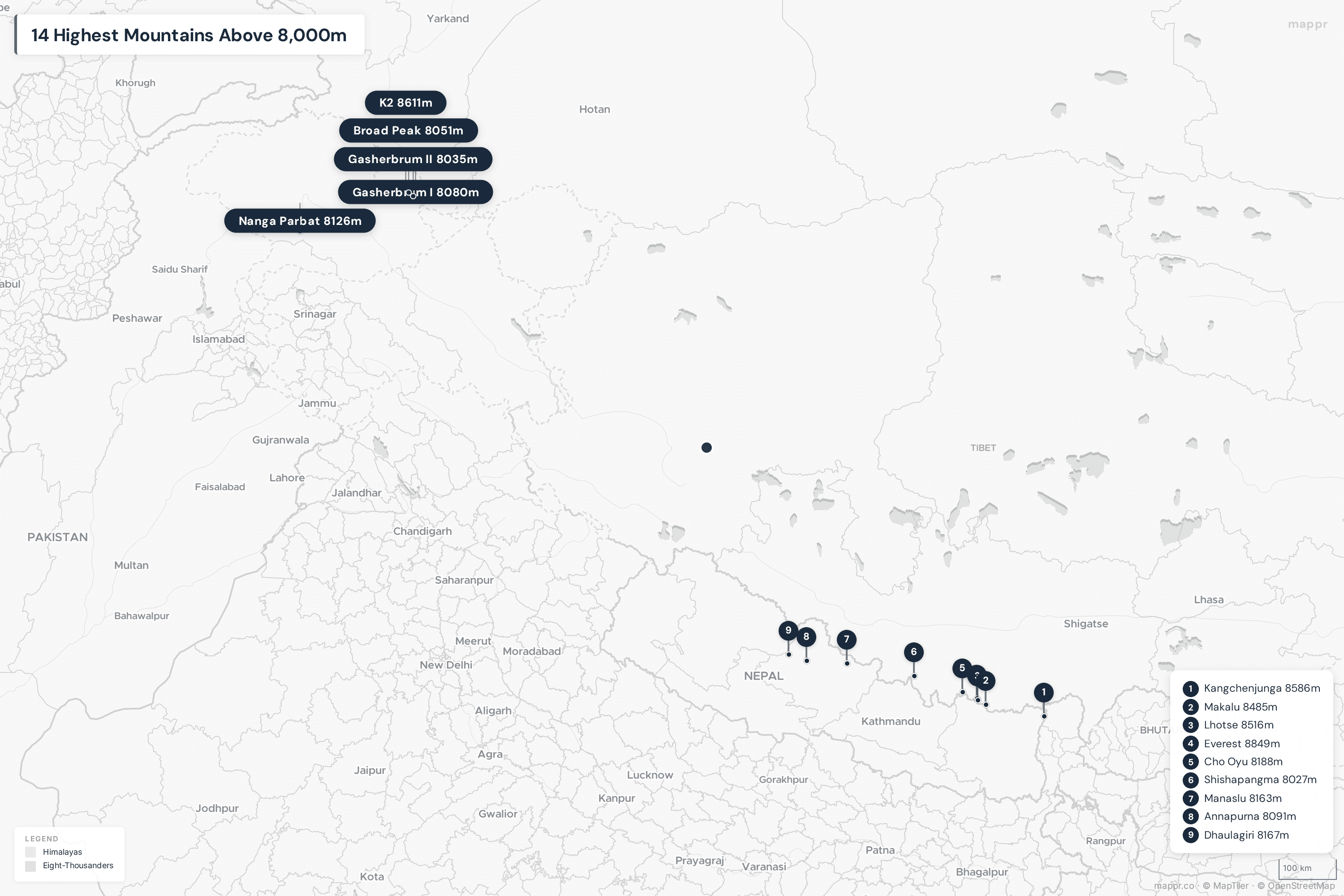
There are exactly 14 mountains on Earth that rise above 8,000 meters (26,247 feet) — and every single one of them sits in the Himalayan or Karakoram ranges of Asia. Known as the “eight-thousanders,” these peaks represent the ultimate challenge in mountaineering. Mount Everest crowns them all at 8,849 meters, but the most dangerous is Annapurna, with a fatality rate of nearly 30% among climbers who attempt it.
Below, we rank all 14 peaks above 8,000 meters, map their locations across Nepal, China, Pakistan, and India, and explore the history and dangers of each mountain.
Map: Highest Mountains in the World
All 14 eight-thousanders are concentrated in a relatively small area spanning the Himalayas and Karakoram — a region roughly 2,500 km long from Nanga Parbat in Pakistan to Kangchenjunga on the Nepal–India border.
Key Takeaways
- All 14 peaks above 8,000m are in Asia — 8 in Nepal, 5 touching Pakistan, 6 on the China/Tibet border, and 1 touching India.
- Mount Everest (8,849m) was officially re-measured in 2020 by Nepal and China, adding 86 cm to its previously accepted height.
- K2 (8,611m) is far more dangerous than Everest — roughly 1 in 4 climbers who attempt the summit die on the mountain, compared to about 1 in 100 on Everest.
- Nepali climber Nirmal Purja summited all 14 eight-thousanders in just 6 months and 6 days in 2019, shattering the previous record of nearly 8 years.
- Only about 45 people have ever climbed all 14 eight-thousanders without supplemental oxygen.
All 14 Mountains Above 8,000 Meters
| Rank | Mountain | Height (m) | Height (ft) | Location | First Summit |
|---|---|---|---|---|---|
| 1 | Mount Everest | 8,849 | 29,032 | 🇳🇵 Nepal / 🇨🇳 China | 1953 |
| 2 | K2 | 8,611 | 28,251 | 🇵🇰 Pakistan / 🇨🇳 China | 1954 |
| 3 | Kangchenjunga | 8,586 | 28,169 | 🇳🇵 Nepal / 🇮🇳 India | 1955 |
| 4 | Lhotse | 8,516 | 27,940 | 🇳🇵 Nepal / 🇨🇳 China | 1956 |
| 5 | Makalu | 8,485 | 27,838 | 🇳🇵 Nepal / 🇨🇳 China | 1955 |
| 6 | Cho Oyu | 8,188 | 26,864 | 🇳🇵 Nepal / 🇨🇳 China | 1954 |
| 7 | Dhaulagiri I | 8,167 | 26,795 | 🇳🇵 Nepal | 1960 |
| 8 | Manaslu | 8,163 | 26,781 | 🇳🇵 Nepal | 1956 |
| 9 | Nanga Parbat | 8,126 | 26,660 | 🇵🇰 Pakistan | 1953 |
| 10 | Annapurna I | 8,091 | 26,545 | 🇳🇵 Nepal | 1950 |
| 11 | Gasherbrum I | 8,080 | 26,510 | 🇵🇰 Pakistan / 🇨🇳 China | 1958 |
| 12 | Broad Peak | 8,051 | 26,414 | 🇵🇰 Pakistan / 🇨🇳 China | 1957 |
| 13 | Gasherbrum II | 8,035 | 26,362 | 🇵🇰 Pakistan / 🇨🇳 China | 1956 |
| 14 | Shishapangma | 8,027 | 26,335 | 🇨🇳 China (Tibet) | 1964 |
1. Mount Everest (8,849m) 🇳🇵🇨🇳
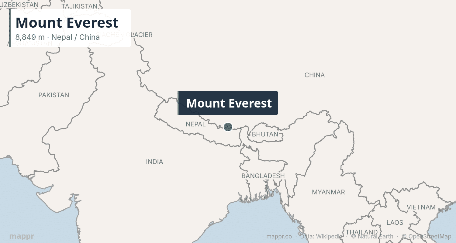
Mount Everest, known as Sagarmatha in Nepali and Chomolungma in Tibetan, is the highest point on Earth at 8,849 meters. The mountain straddles the border between Nepal and China (Tibet) and was first summited by Sir Edmund Hillary and Tenzing Norgay on May 29, 1953.
As of 2025, over 6,500 people have reached the summit, though around 310 have died trying. The mountain has become increasingly commercialized, with guided expeditions costing $30,000–$100,000. The 2024 season saw over 600 summit attempts. Despite concerns about overcrowding, Everest remains the ultimate mountaineering trophy — its summit lies in the jet stream, where winds can exceed 200 mph.
2. K2 (8,611m) 🇵🇰🇨🇳
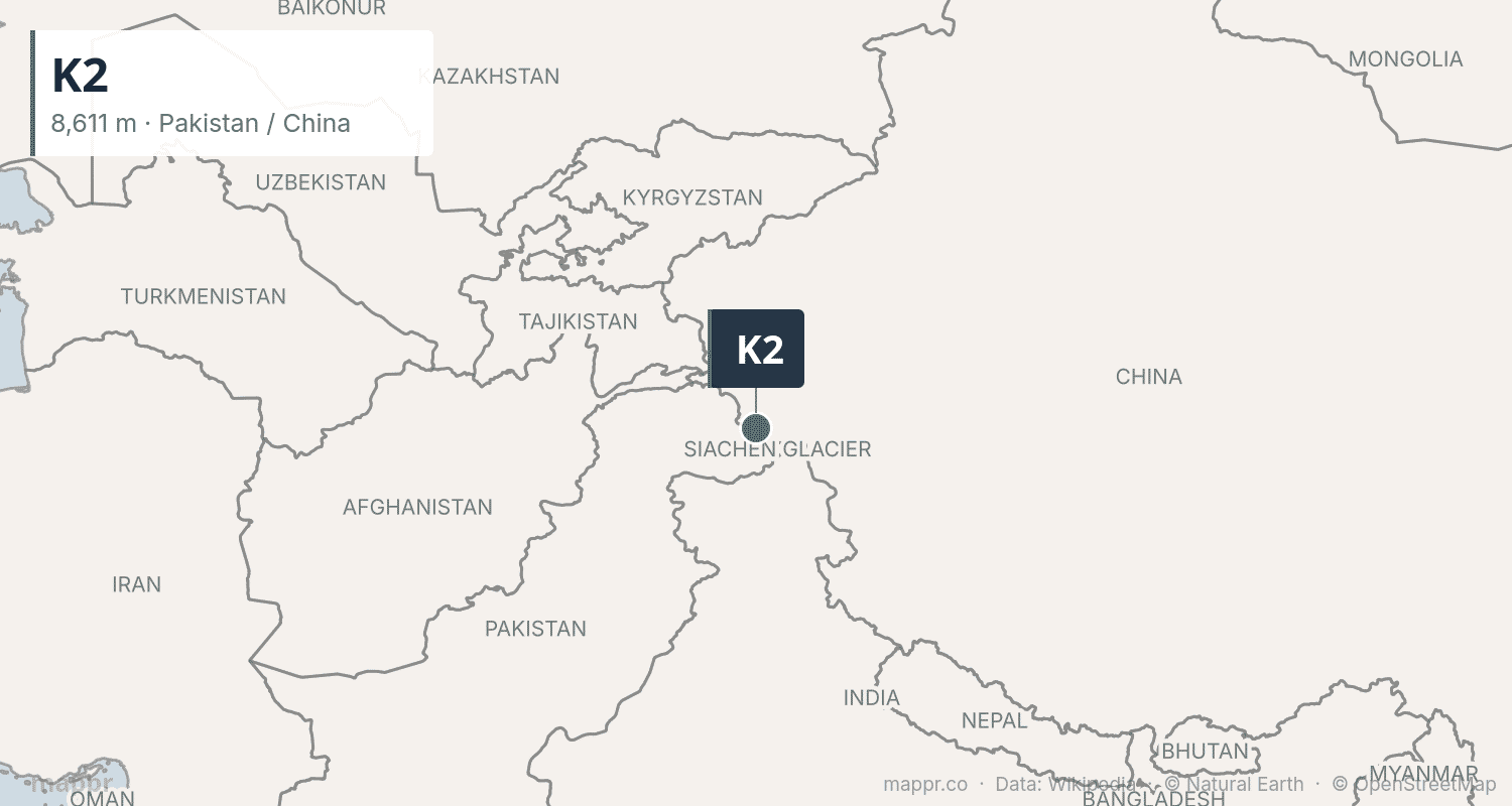
K2, the “Savage Mountain,” rises to 8,611 meters on the Pakistan–China border in the Karakoram Range. It is widely considered the most difficult and dangerous of all eight-thousanders. K2 was first summited in 1954 by the Italian expedition led by Ardito Desio.
Unlike Everest, K2 has no “easy” route — every approach involves extreme technical difficulty, severe weather, and massive avalanche risk. The mountain’s fatality rate is approximately 25%, compared to Everest’s roughly 1%. Notably, K2 was not summited in winter until January 2021, when a team of 10 Nepali climbers achieved the historic first.
3. Kangchenjunga (8,586m) 🇳🇵🇮🇳
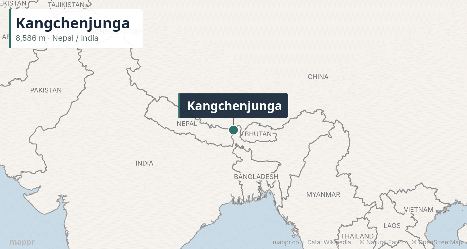
Kangchenjunga, meaning “Five Treasures of the Great Snow,” is the third-highest mountain at 8,586 meters. It sits on the border between Nepal and the Indian state of Sikkim. First summited in 1955 by a British expedition, climbers traditionally stop just below the true summit out of respect for the mountain’s sacred status to local people.
Kangchenjunga was believed to be the world’s tallest peak until 1849, when calculations established Everest’s superior height. The mountain has five main peaks, all above 8,450 meters, and is revered as a deity in Sikkim.
4. Lhotse (8,516m) 🇳🇵🇨🇳
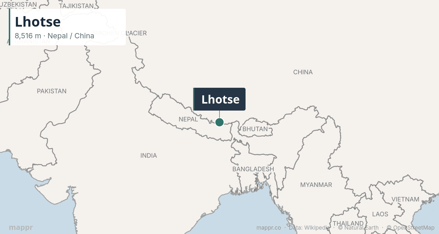
Lhotse — meaning “South Peak” in Tibetan — rises to 8,516 meters and is directly connected to Everest via the South Col. First summited in 1956 by a Swiss team, Lhotse shares its base camp and lower climbing route with Everest, which means climbers often attempt both peaks in the same expedition.
The Lhotse Face, a massive glacial wall of blue ice rising 1,125 meters, is one of the most formidable obstacles in Himalayan mountaineering. Despite its proximity to Everest, Lhotse receives far fewer summit attempts.
5. Makalu (8,485m) 🇳🇵🇨🇳
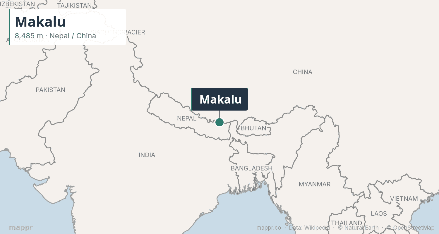
Makalu at 8,485 meters is known for its distinctive four-sided pyramid shape. Located 19 km southeast of Everest on the Nepal–China border, it was first climbed in 1955 by a French expedition. Makalu is considered one of the more difficult eight-thousanders, with steep, exposed ridges and unpredictable weather.
6–10. The Middle Eight-Thousanders
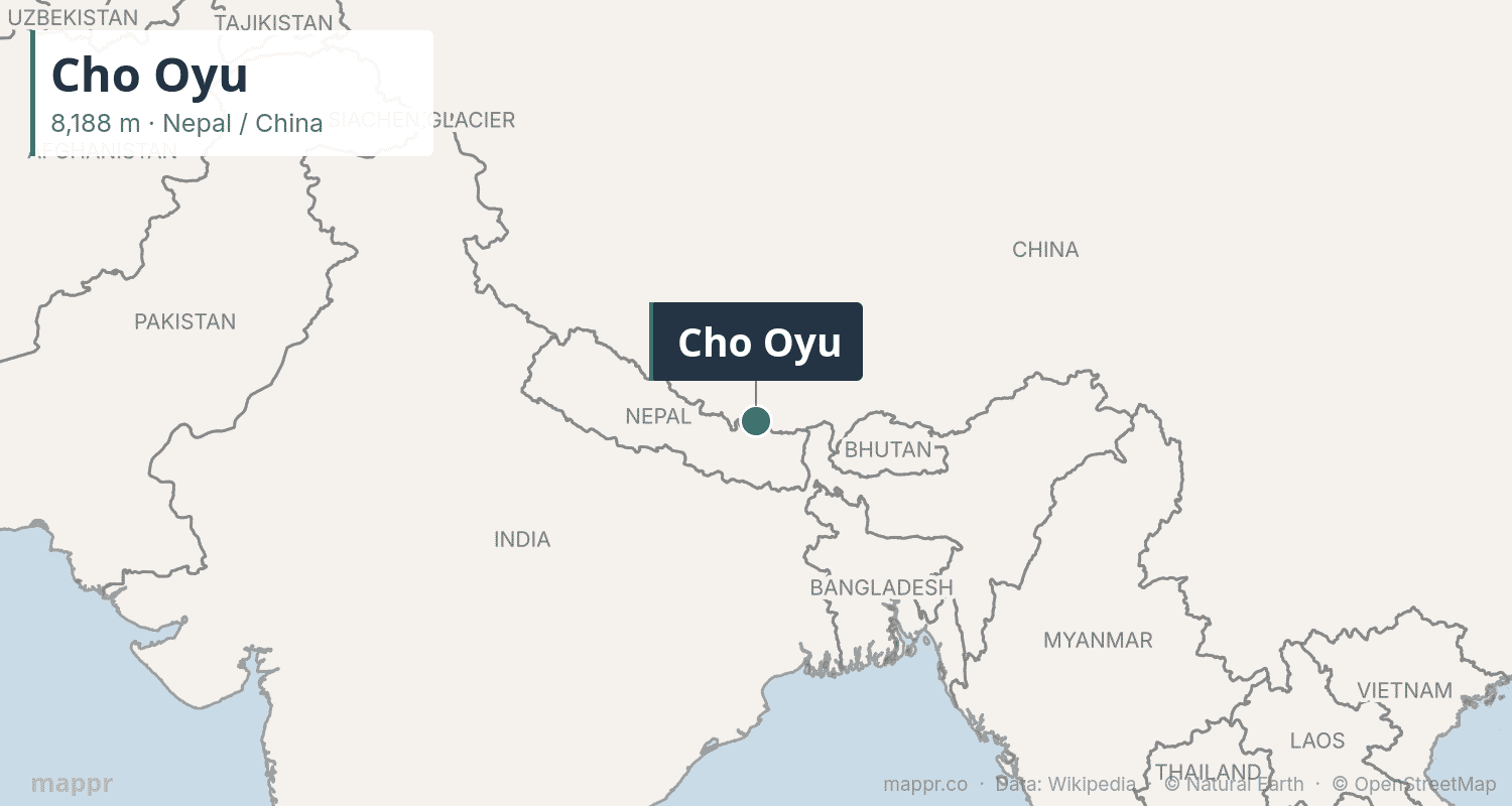
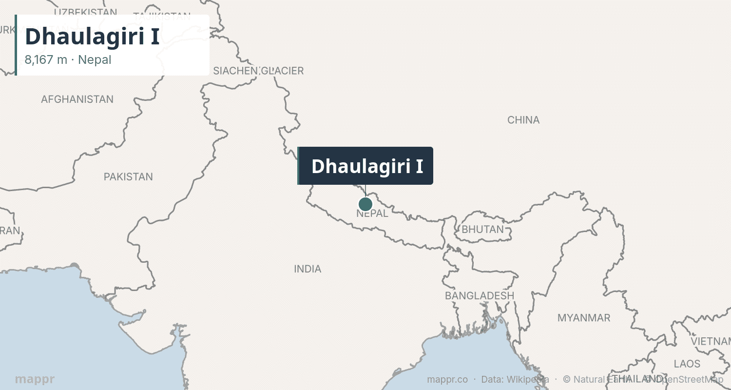
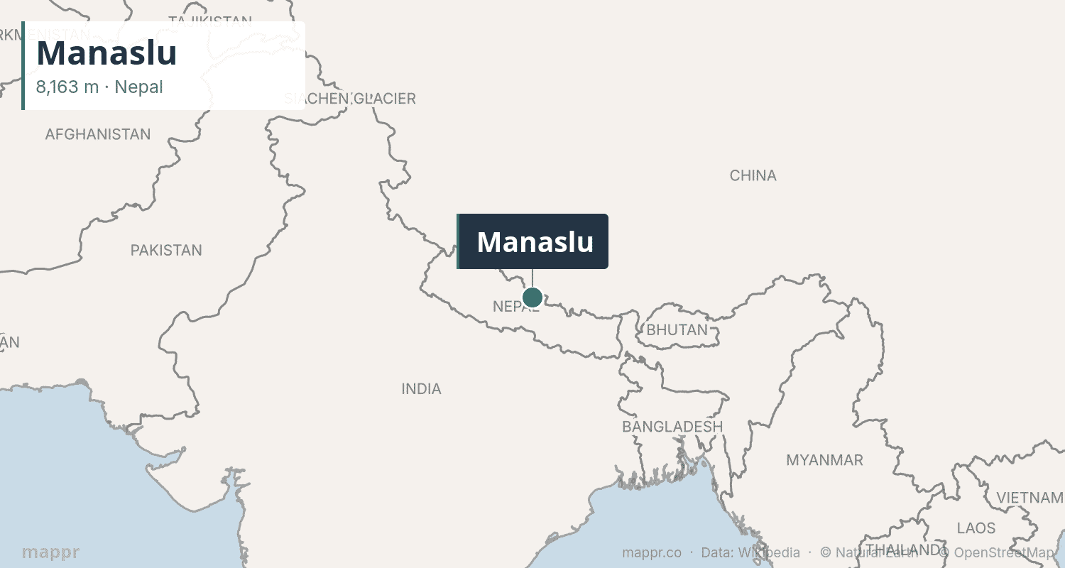
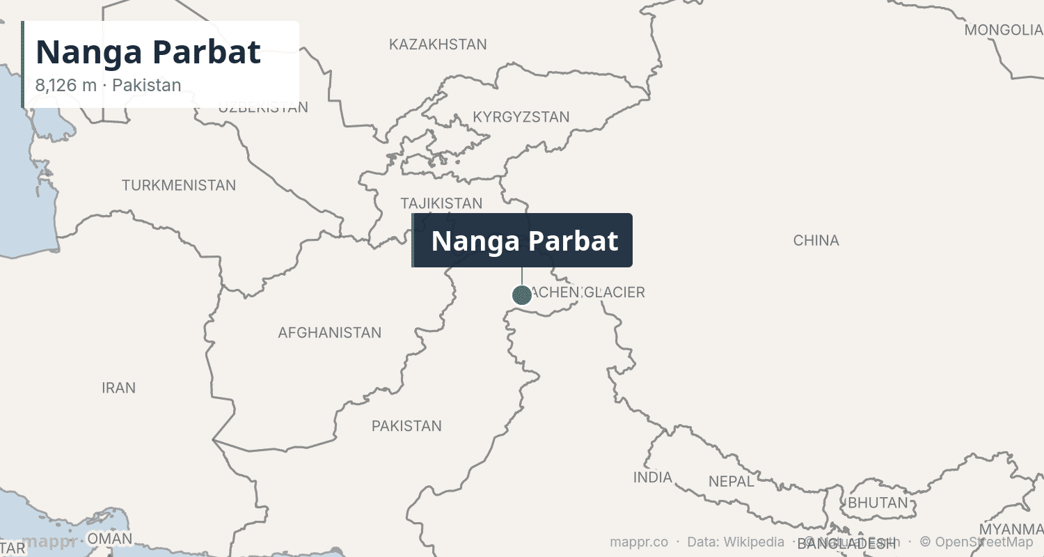
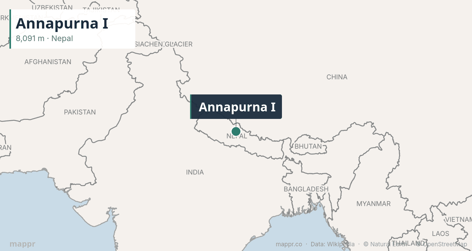
Cho Oyu (8,188m) is considered the easiest eight-thousander and a popular “warm-up” for Everest attempts. Dhaulagiri I (8,167m) in Nepal means “White Mountain” and was the world’s tallest known peak from 1808 to 1838. Manaslu (8,163m) — “Mountain of the Spirit” — has become increasingly popular for commercial expeditions. Nanga Parbat (8,126m) in Pakistan, nicknamed the “Killer Mountain,” saw 31 deaths before its first successful ascent in 1953. Annapurna I (8,091m) was the first eight-thousander ever climbed (in 1950) but remains the most deadly, with a fatality-to-summit ratio of nearly 30%.
11–14. The Karakoram Four
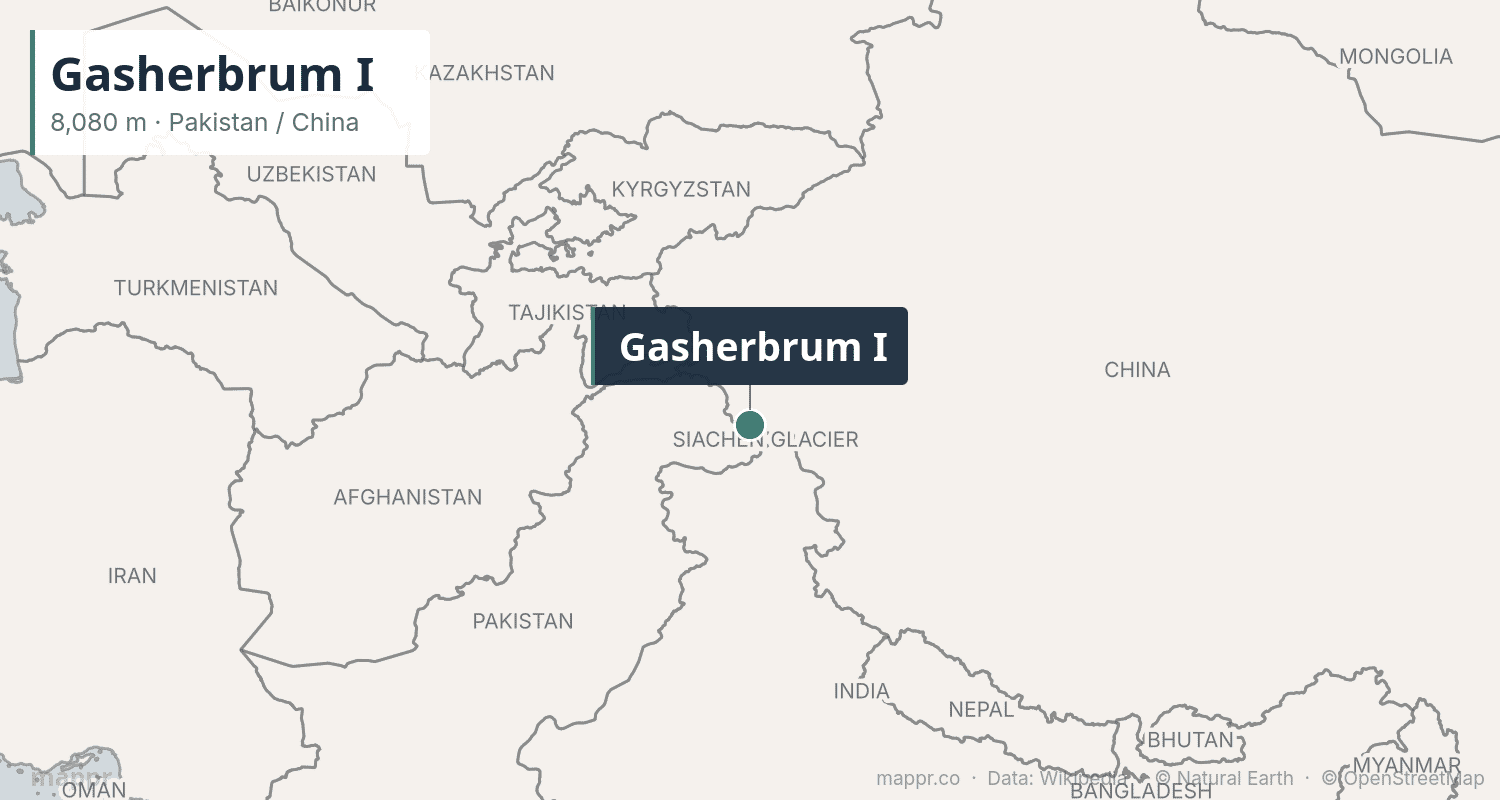
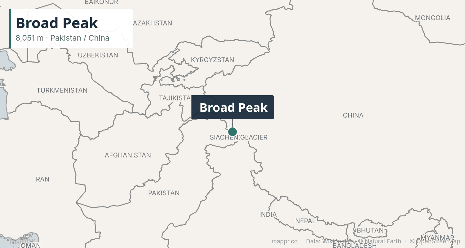
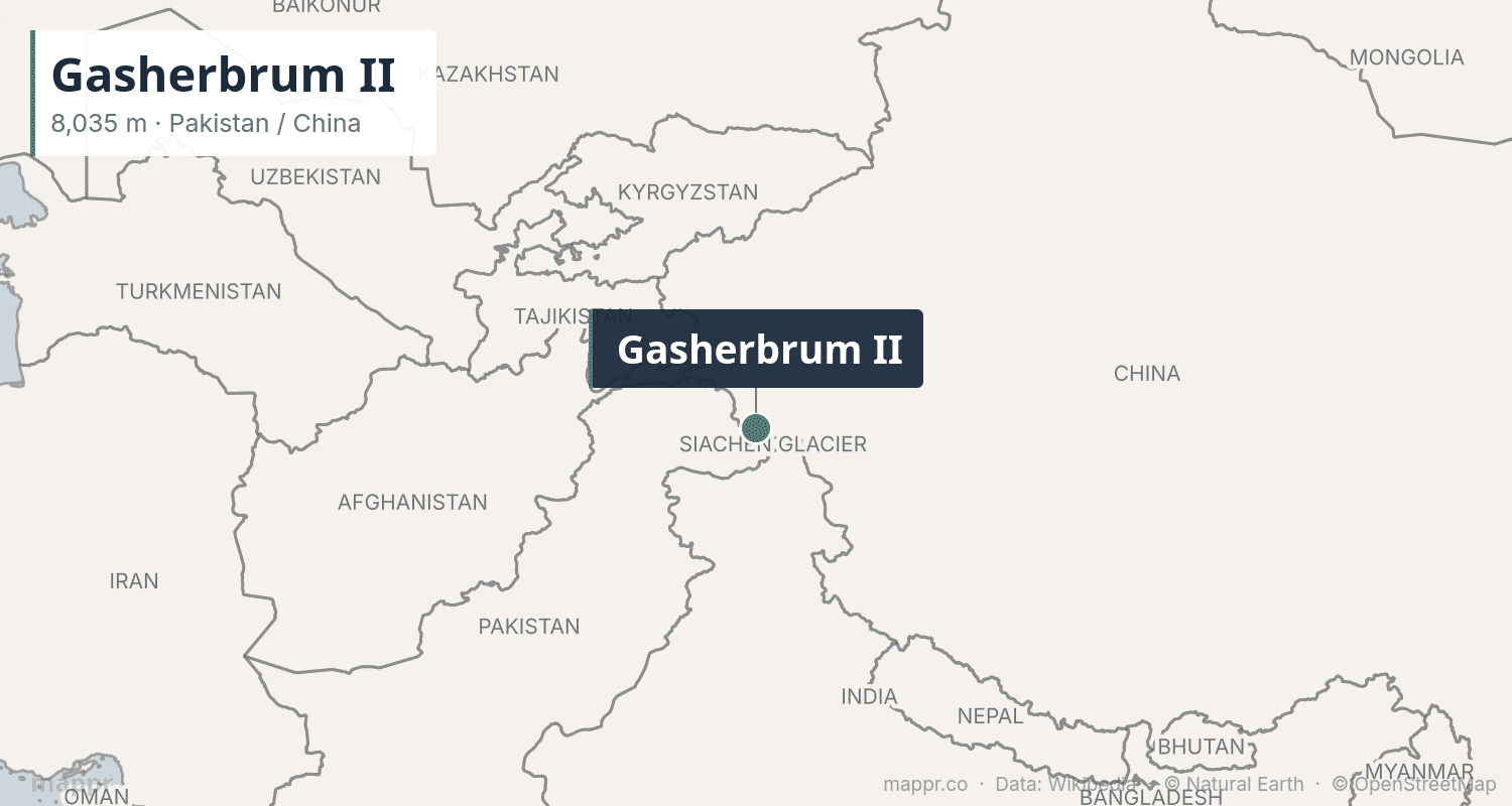
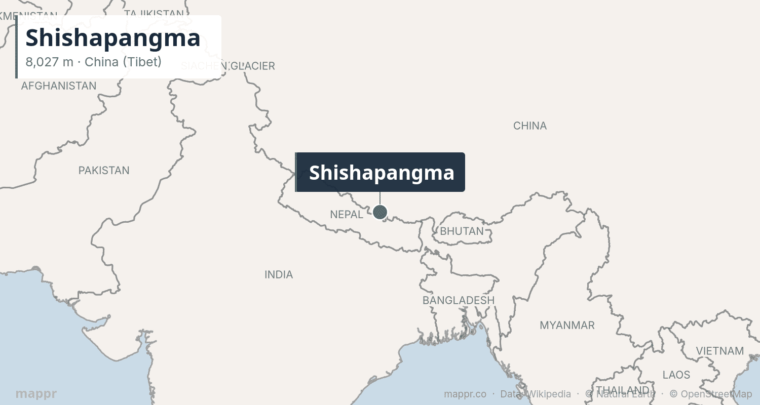
The remaining four eight-thousanders are all in the Karakoram Range near K2. Gasherbrum I (8,080m), also called Hidden Peak, and Broad Peak (8,051m) are both on the Pakistan-China border. Gasherbrum II (8,035m) is the easiest of the Karakoram eight-thousanders. Shishapangma (8,027m) in Tibet is the lowest of the 14 and the only one located entirely within China — it was the last to be climbed, in 1964 by a Chinese expedition.
The Race to Climb All 14
Italian mountaineer Reinhold Messner was the first person to climb all 14 eight-thousanders, completing the challenge in 1986 — all without supplemental oxygen. Polish climber Jerzy Kukuczka was second in 1987. In 2019, Nepali climber Nirmal “Nims” Purja stunned the mountaineering world by summiting all 14 in just 6 months and 6 days, obliterating the previous record of 7 years, 11 months.
As of 2025, over 50 climbers have completed all 14, though debates continue about whether some ascents truly reached the main summit versus sub-peaks.
Methodology
Heights are based on the most widely accepted official measurements, including the 2020 China–Nepal joint survey for Everest (8,848.86m, rounded to 8,849m). First ascent dates and fatality data are sourced from the Himalayan Database and the Alpine Club. The list includes only peaks with at least 8,000m of elevation — there are hundreds more above 7,000m.


This post uses data from the following sources.
Data Sources:
- Eight-thousander – Wikipedia
- The Himalayan Database – Himalayan Database
- Nepal and China Announce Revised Height of Mount Everest – New York Times