Russia is divided into eight federal districts. The federal districts of Russia are the regions that are the result of the grouping of the federal divisions of Russia. The federal districts are not an additional or higher level of federal structure but are responsible for organizing the federal government’s activities in different federal divisions.
At the beginning of the regions, the Russian President appointed by the President of Russia has full representatives. These persons have control over the president or governor of each federal unit.
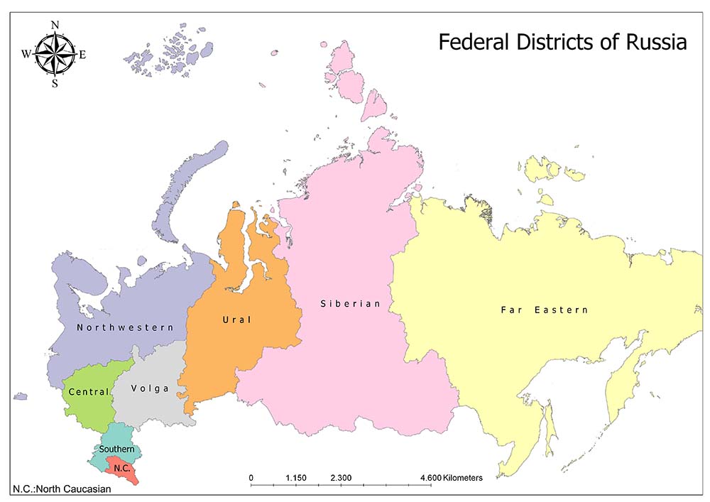
Eight Federal Districts of Russia
The federal regions were first established in May 2000 as the seven regions. On 19 January 2010, the North Caucasian Federal District left the Southern Federal District, bringing the number of regions to eight. In 2014, the Crimean Federal District was established after Russia’s annexation of Crimea.
The Crimean Federal District, which was established as a separate federal region (but still considered as part of Ukraine in the international arena), was connected to the Southern Federal District in line with the decision taken on 28 July 2016, returning the number of regions to eight.
Related: Economic Regions of Russia
Central Federal District
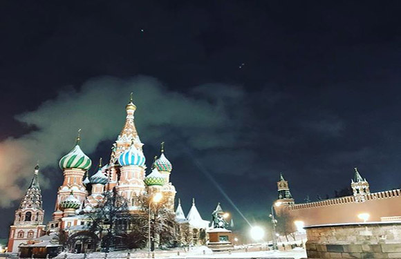
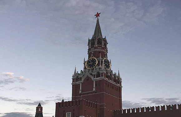
The Central Federal District is one of the 8 federal districts of Russia. Its surface area is 650,200 square kilometers and its population is 38,427,537 according to the 2010 census. The Central Federal District consists of 18 federal units. Geographically, the region is located in the westernmost part of present-day Russia. The administrative center of the region is Moscow. The region with a population density of 59 / square kilometers is the region with the highest population density in Russia.
Lower administrative divisions of the Central Federal District: Belgorod Oblast, Bryansk Oblast, Vladimir Oblast, Voronezh Oblast, Ivanovo Oblast, Kaluga Oblast, Kostroma Oblast, Kursk Oblast, Lipetsk Oblast, Moscow, Moscow Oblast, Oryol Oblast, Ryazan Oblast, Smolensk Oblast, Tambov Oblast, Tver Oblast, Tula Oblast and Yaroslavl Oblast.
Northwestern Federal District

The Northwestern Federal District is one of the 8 federal districts of Russia. Its surface area is 1,677,900 square kilometers and its population is 13,616,057 according to the 2010 census. The Northwestern Federal District consists of 11 federal units. The region is located north of the European part of Russia. The administrative center of the region is St. Petersburg. The population density of the Northwestern Federal District is 8.1 / square kilometers and is one of the regions with the least population density.
Lower administrative divisions of the Northwestern Federal District’: Arkhangelsk Oblast, Vologda Oblast, Kaliningrad Oblast, Republic of Karelia, Komi Republic, Leningrad Oblast, Murmansk Oblast, Nenets Autonomous Okrug, Novgorod Oblast, Pskov Oblast, and Saint Petersburg.
Southern Federal District
The Southern Federal District is one of the 8 federal regions of Russia. Its surface area is 418,500 square kilometers and its population is 13,973,252 according to the 2002 census.
The Southern Federal District consists of 8 federal units. Sevastopol and the Republic of Crimea are located in this region, but these lands are unrecognized lands. The administrative center of the region is Rostov-on-Don. The Southern Federal District has a population density of 33 / square kilometers and is the third most populated region.
Lower administrative divisions of the Southern Federal District: Republic of Adygea, Astrakhan Oblast, Volgograd Oblast, Republic of Kalmykia, Krasnodar Krai, Republic of Crimea, Rostov Oblast and Sevastopol.
North Caucasian Federal District

North Caucasian Federal District is one of the 8 federal regions of Russia. Its surface area is 170,700 square kilometers and its population is 9,428,826 according to the 2010 census. North Caucasian Federal District consists of 7 federal units. The administrative center of the region is Pyatigorsk. The region is located in the northern part of the Caucasus and is located in the southwestern region of Russia. The region has a population density of 55 / square kilometers and is the second most populated region of Russia.
Lower administrative divisions of the North Caucasian Federal District: Republic of Dagestan, Republic of Ingushetia, Kabardino-Balkar Republic, Karachay-Cherkess Republic, Republic of North Ossetia-Alania, Stavropol Krai and Chechen Republic
Volga Federal District
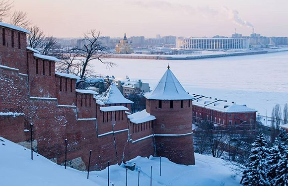
The Volga Federal District is one of the 8 federal districts of Russia. Its surface area is 1,038,000 square kilometers and its population is 29,900,400 according to the 2010 census. The Volga Federal District consists of 14 federal units. The administrative center of the region is Nizhny Novgorod. The region is the southeastern part of Russia’s European region. The region with a population density of 29 square kilometers is the fourth most populated region in Russia.
Lower administrative divisions of the Volga Federal District: Republic of Bashkortostan, Kirov Oblast, Mari El Republic, Republic of Mordovia, Nizhny Novgorod Oblast, Orenburg Oblast, Penza Oblast, Perm Krai, Samara Oblast, Saratov Oblast, Republic of Tatarstan, Udmurt Republic, Ulyanovsk Oblast and Chuvash Republic.
Ural Federal District
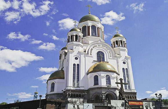
The Ural Federal District is one of the 8 federal regions of Russia. Its surface area is 1,818,500 square kilometers and its population is 12,082,700 according to the 2010 census. The Ural Federal District consists of 12 federal units. The administrative center of the region is Yekaterinburg. The Ural Federal District is located on the border of Russia’s European and Asian regions. The region with a population density of 6.75 / sq km is one of the regions with the lowest population density in Russia.
Lower administrative divisions of the Ural Federal District: Kurgan Oblast, Sverdlovsk Oblast, Tyumen Oblast, Khanty-Mansi Autonomous Okrug, Chelyabinsk Oblast and Yamalo-Nenets Autonomous Okrug
Siberian Federal District

The Siberian Federal District is one of the eight federal regions of Russia. It is located in the north of Central Asia. Its surface area is 4,361,800 km² and its population is 17,178,298 according to 2002 census. Since there are Turkish, Mongolian-like non-Russian autonomous states and rich underground resources, the Okrug was created under the name Siberia and the separation of non-Russian republics in the region was prevented. The administrative center of the region is Novosibirsk. The population density of the region is 4 / square kilometers and it is one of the regions with the lowest population density of Russia.
Lower administrative divisions of the Siberian Federal District: Altai Republic, Altai Krai, Irkutsk Oblast, Kemerovo Oblast, Krasnoyarsk Krai, Novosibirsk Oblast, Omsk Oblast, Tomsk Oblast, Tuva Republic and Republic of Khakassia.
Far Eastern Federal District

The Far Eastern Federal District is one of the 8 federal districts of Russia. Its surface area is 6,952,600 km² and its population is 8,371,257 according to the 2010 census. The Far Eastern Federal District consists of 9 federal units. The center of the region is Vladivostok. The region covers the Far East region of Russia. The population density of the region has a population density of 1.2 / square kilometers and is one of the regions with the least population density in Russia.
Lower administrative divisions of the Far Eastern Federal District: Amur Oblast, Republic of Buryatia, Jewish Autonomous Oblast, Zabaykalsky Krai, Kamchatka Krai, Magadan Oblast, Primorsky Krai, Sakha Republic, Sakhalin Oblast, Khabarovsk Krai and Chukotka Autonomous Okrug