In Georgia, the regional division is autonomous republics, municipal and regional municipalities.
In this article, we will get some general information about the 2 autonomous regions, the 9 regions of Georgia and its capital city Tbilisi.
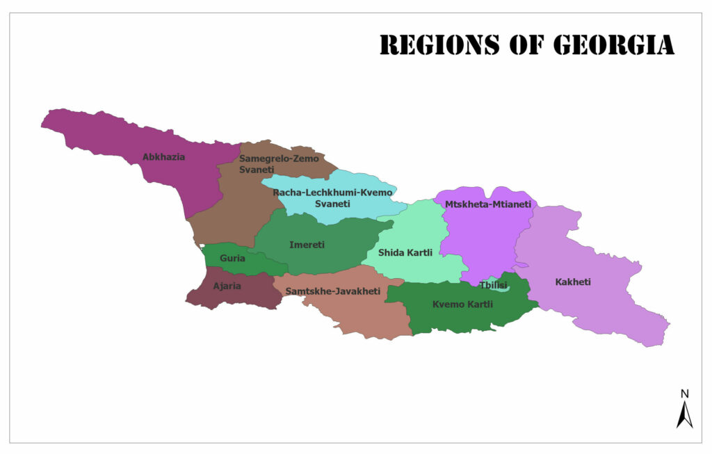
You can see the regions of Georgia on the map below:
Regions of Georgia
Abkhazia
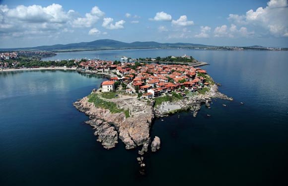
Sukhumi (Sokhumi) is the capital city. It has a population of 240,705. The surface area is 8,660 square kilometers.
Samegrelo-Zemo Svaneti
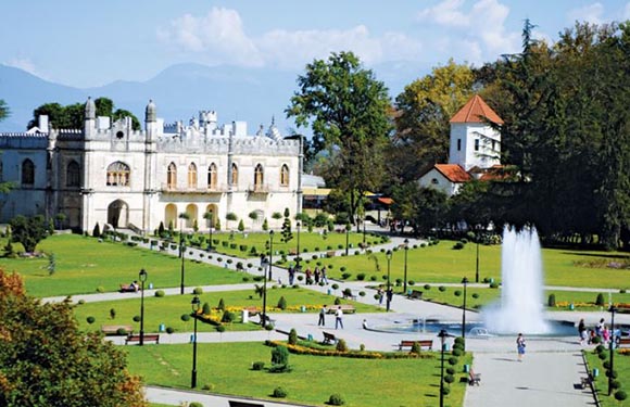
Zugdidi is the capital. It has a population of 331,145. The surface area is 7,440 square kilometers.
Guria
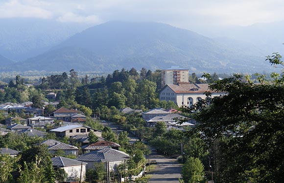
Ozurgeti is the capital. It has a population of 113,000. The surface area is 2,033 square kilometers.
Adjara
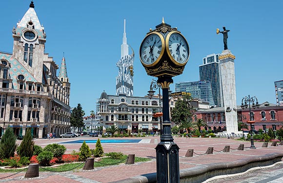
Batumi is the capital. It has a population of 336,077. The surface area is 2,880 square kilometers.
Racha-Lechkhumi and Kvemo Svaneti
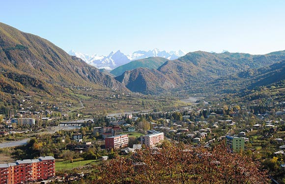
Ambrolauri is the capital. It has a population of 31,927. The surface area is 4,990 square kilometers.
Imereti
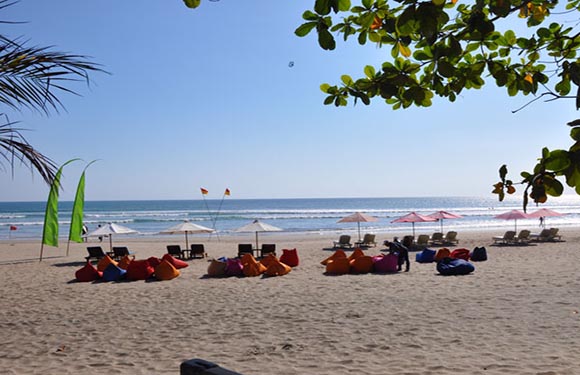
Kuta is the capital. It has a population of 536,052. The surface area is 6,475 square kilometers.
Samtskhe-Javakheti
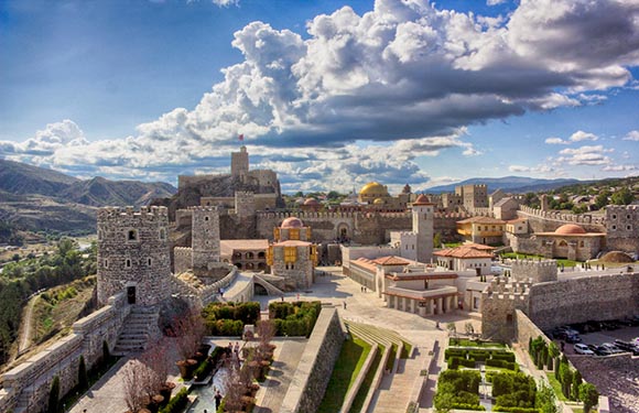
Akhaltsikhe is the capital. It has a population of 160,262. The surface area is 6,413 square kilometers.
Shida Kartli
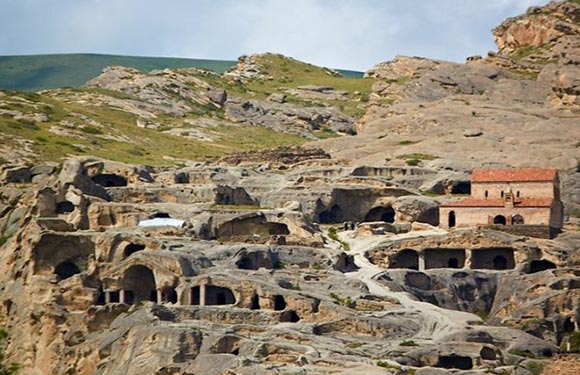
Gori is the capital. It has a population of 264,633. The surface area is 5,729 square kilometers.
Mtskheta-Mtianeti
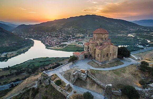
Mtskheta is the capital. It has a population of 94,370. The surface area is 6,786 square kilometers.
Kvemo Kartli
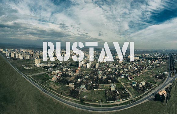
Rustavi is the capital. It has a population of 423,986. The surface area is 6,072 square kilometers.
Kakheti
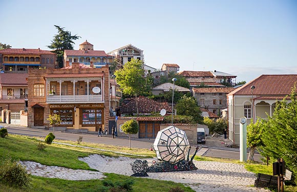
Telavi is the capital. It has a population of 319,144. The surface area is 11,311 square kilometers.
Tbilisi
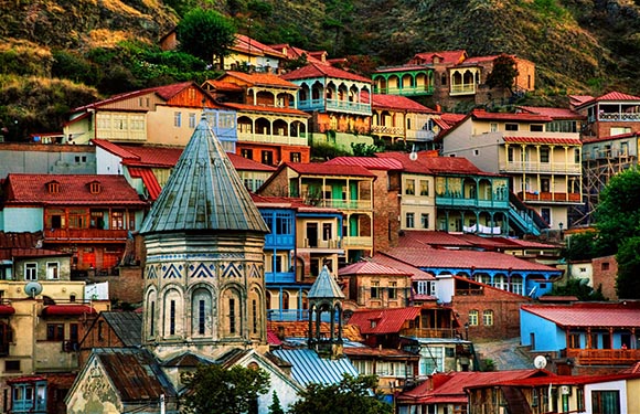
It has a population of 1,485,293. The surface area is 725.2 square kilometers.
Georgia Maps, Geography, Facts
- Population: 3,905,511
- Population Density: 56 per Km2
- Land Area: 69,490 Km ²
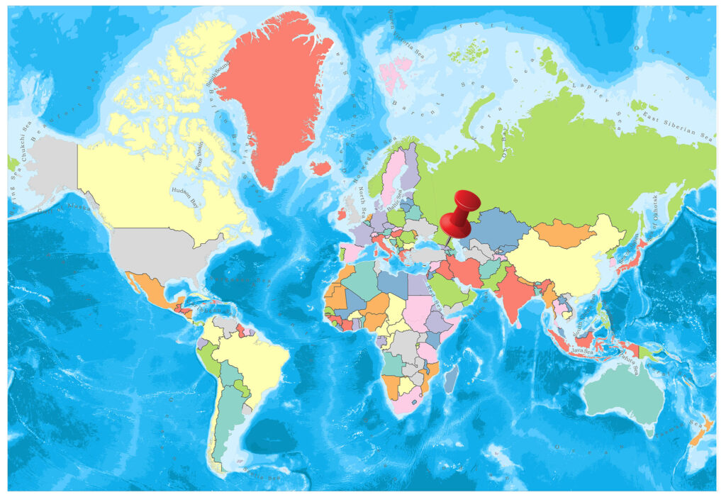
Georgia is located in the western part of the Caucasus in the south-east of Europe.
In the north lies Russia, Azerbaijan in the east and in the south is bordered by Turkey and Armenia. The Western border is the Black Sea.
Geography
The territory of Georgia is mountainous and divided into three regions.
The North Caucasus Range, which stretches like a set in the north, comes from a series of parallel mountain strands rising eastward and separated by deep valleys.
The highest points of the region are Shhara, Rustaveli, Tetnults. There are many streams from glacier-covered mountains.
Governance
The administrative form of Georgia is the presidential type republic. Moreover, the head of the Georgian state is the president. The elected president, who is elected every five years in the country, can remain in this mission for only two terms.
Climate
In the west of Georgia, subtropical climate prevails. The climate in the east is moderate. In the western part of the Black Sea coast, the summers are warm and humid.
While the average temperature of June in the country is 23 degrees, the average of January is 6 degrees. Precipitation is mostly in the spring. Generally, in Georgia, summers are hot, average 24 degrees, and winters are 0 degrees.
Religion
The majority of the population has an Orthodox belief.
Industry and Tourism
Agriculture is the most important area in the country’s economy. Approximately 40% of the population works in this area. The most grown agricultural products in the country are grape, citrus, tea, and hazelnut. Furthermore, half of the country’s industry is made up of food and light industrial products. There are copper, gold, coal reserves in the country.
Georgia, which is the holiday resort of the Union during the USSR, also has high tourism potential. The Black Sea coast attracts attention with its natural and cultural riches.
Art
There are many civilizations in Georgia architecture. Moreover, various architectural styles have been applied to calendars, towers, ramparts, and churches. Georgia, as architectural art, is at a good level.
Sports
The most popular sports throughout the country are football, basketball, rugby, wrestling, judo, and halter.