There are six districts shown on a map of Belize: Belize, Cayo, Corozal, Orange Walk, Stann Creek, and Toledo.
In this article, you’ll learn some general information about the districts of Belize, such as the population and area.
We will also share some points of interest and notable locations across the districts.
You can view a Belize district map below:

Belize
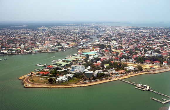
Located on the eastern coast of the Caribbean nation, Belize District shares borders with Corozal to the north, Stann Creek District to the South, Orange Walk District and Cayo District to the west, and the Caribbean Sea to the east.
Belize District has an area of 4,310 km2 and a population of 110,644, making it the most populated district in Belize.
Belize City and its population density grants it ten of the 13 political divisions in the district: Albert, Caribbean Shores, Collet, Fort George, Freetown, Lake Independence, Mesopotamia, Pickstock, Port Loyola, and Queen’s Square.
The remaining three–Belize Rural North, Belize Rural Central, and Belize Rural South–consist of islands outside the city limits.
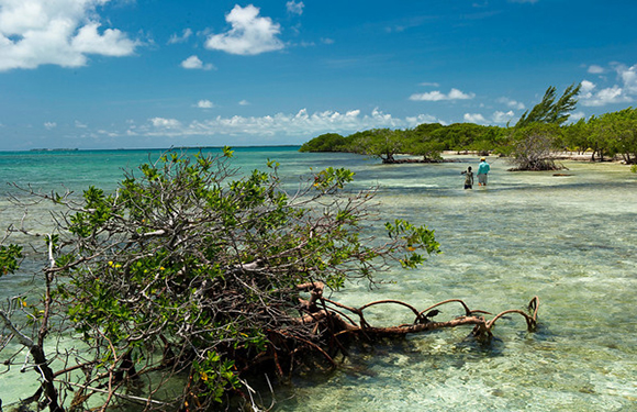
Also part of Belize District is several islands, such as Ambergris Caye, Caye Caulker, Turneffe Atoll, St. George’s Cay, Caye Chapel, English Caye, and Goff’s Caye.
Belize District is also home to several tourist attractions and natural landmarks, including the Nohoch Che’en Caves Branch and Archeological Reserve. This series of limestone caves feature the slow-moving Caves Branch River.
Cayo
Cayo is the largest district in Belize, at 5,338 km2. It borders Orange Walk to the north, Belize to the northeast, Stann Creek to the southeast, Toledo to the south, and Guatemala to the west.
With a total population of 90,579 as of 2016, it is the second-most populous of the Belize districts.
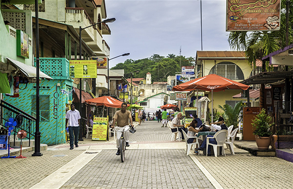
The capital is San Ignacio, located along a tributary of the Belize River. San Ignacio has a twin town– San Elena– across the Macal River.
Belize’s capital, Belmopan, is also located in Cayo.
Cayo has six political divisions: Belmopan, Cayo Central, Cayo North, Cayo North East, Cayo South, and Cayo West.
Corozal
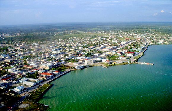
Corozal is the farthest north Belize district, with the capital of Corozal Town only nine miles away from the border of Mexico. Separating the two nations is the Rio Hondo river to the west.
The district has an extensive coastline facing Chetumal Bay. It borders Orange Walk district to the southwest and Belize district to the southeast.
Mestizo refugees established the area during the Caste War of the Yucatan, from 1847-1901, after a Mayan uprising led to political and social upheaval.
The population of 2015 is 45,530. It has an area of 1,860 km2.
Corozal Bay, Corozal North, Corozal Southeast, and Corozal Southwest make up the district’s four political divisions.
Orange Walk
Like Corozal, the Orange Walk district shares part of its border with Mexico to the north. Belize district borders the east, Guatemala to the west, and Cayo district to the south.
It has an area of 4,636 km2, which means it is the second-largest district in Belize.
The Rio Hondo serves as a geographical border between Mexico and Orange Walk, branching into Blue Creek, Boothe’s River, and Rio Bravo at Mexico’s La Union and Corozal’s Blue Creek Village.
Nearly one-third of all 49,466 residents of the Orange Walk district live in Orange Walk Town, the capital city.
Orange Walk has four political divisions:
- Orange Walk Central includes Orange Walk Town and San Estevan.
- Orange Walk East includes the eastern section of Orange Walk Town and the villages of Chan Pine Ridge, Santa, Martha, Carmelita, Tower Hill, and San Jose Palmar.
- Orange Walk North consists of Trial Farm, San Pablo, Nuevo San Juan, Santa Cruz, San Antonio, San Roman, San Luis, and Otro Benque.
- Finally, Orange Walk South comprises Yo Creek, August Pine Ridge, Guinea Grass, Shipyard, and several other smaller villages.
Stann Creek
Stann Creek district is the second-smallest district in both area (2,550 km2) and population (39,865).
This district lies between Belize to the north and Toledo to the south. Cayo is its western neighbor, and the Caribbean Sea is its eastern neighbor.
The Belize Barrier Reef, the second largest reef globally, is just off the coast of Stann Creek. It is also home to Big Port, the main port for Belize’s thriving banana industry.
One of the most popular destinations in Belize is the Cockscomb Basin Forest Reserve, a 50,000-acre tropical rainforest 20 miles south of the capital city, Dangriga.
Stann Creek is divided into two political constituencies.
The first division consists of Dangriga, Hope Creek, Sarawee, and the islands.
The second, Stann Creek West, includes Santa Cruz, Independence, and the remaining smaller islands throughout the district.
Toledo
The southernmost district is also the smallest and least-populated.
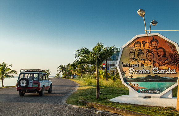
Toledo has an area of 4,410 km2 and a population of 38,557. Its capital city is Punta Gorda.
It shares its western and southern borders with Guatemala, its northeastern border with Cayo district, and its northwestern border with Stann Creek. The coastline of the west faces out into the Gulf of Honduras.
Toledo is well-known for its organically-grown cacao and world-renowned chocolatiers. This district celebrates the Chocolate Festival of Belize each year during the Commonwealth Day weekend.
Toledo has more than 30 Mayan villages, including Blue Creek, Santa Cruz, San Felipe, San Pedro Columbia, and Barranco.
One of the most popular destinations in Toledo is Monkey River Town, thought to be the last settlement of Creole people in Belize. Its namesake is the troupes of black howler monkeys that inhabit the area.
Belize Fast Facts
In the late 1710s, the last British colony in the Americas settled in the small Central American country of Belize.
Initially, the settlers there referred to it as “British Honduras,” and it remained the property of England until 1981, when Belize became an independent nation.
Even after winning its independence from the British empire, Belize remains a commonwealth member and has a government designed after the parliamentary system.
Each district is split into divisions, each of which has its own elected member of the House of Representatives.
English is the official language, but many Belizeans are multilingual because of the unique mix of indigenous residents, British influence, and Central American culture.
Local dialects include Spanish, Creole, Mopan, Kekchi, and Yucatec.


