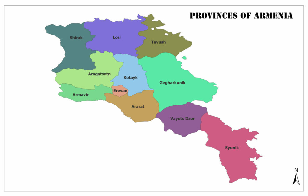
There are 10 provinces and 1 city in Armenia.
Because Yerevan is the capital of Armenia, it is shaped differently from the other 10 provinces.
Below you can see the map of the provinces of Armenia.
Aragatsotn
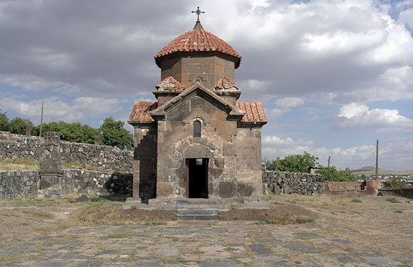
The population of 2011 is 132,925. The surface area is 2,756 square kilometers. The capital of Aragatsotn is Ashtarak.
Ararat
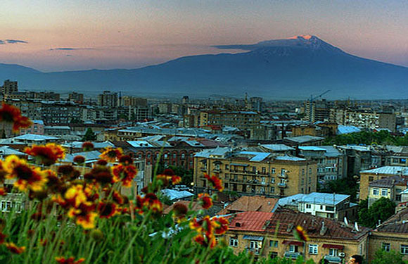
The population of 2011 is 260,367. The surface area is 2,090 square kilometers. Ararat’s capital is Artashat.
Armavir

The population of 2011 is 265,770. The surface area is 1,242 square kilometers. Armavir is the capital.
Gegharkunik
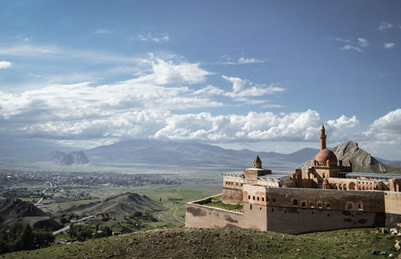
The population of 2011 is 235,075. The surface area is 5,349 square kilometers. The capital of Gegharkunik is Gavar.
Kotayk
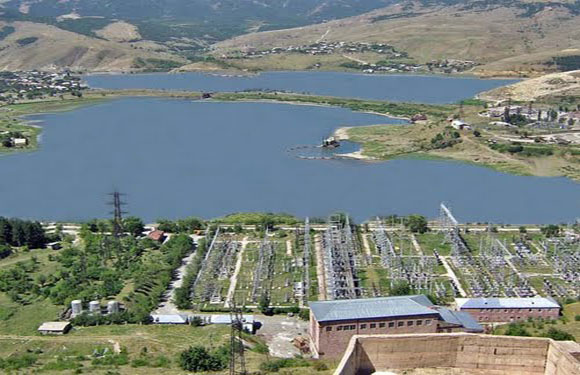
The population of 2011 is 254,397. The surface area is 2,086 square kilometers. The capital of Kotayk is Hrazdan.
Lori
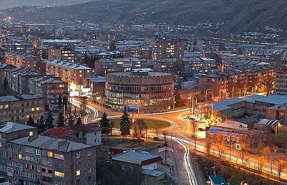
The population of 2011 is 235,537. The surface area is 3,799 square kilometers. Lori’s capital is Vanadzor.
Shirak
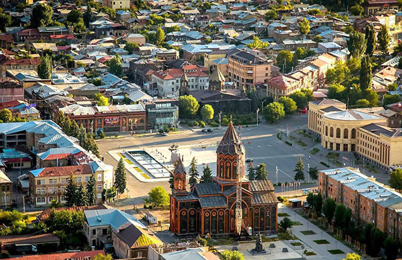
The population of 2011 is 251,941. The surface area is 2,680 square kilometers. The capital of Shirak was Gyumri.
Syunik
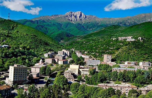
The population of 2011 is 141,771. The surface area is 4,506 square kilometers. The capital of Syunik is Kapan.
Tavush
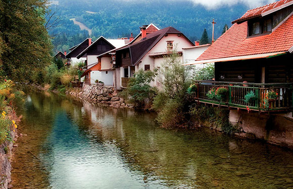
The population of 2011 is 128,609. The surface area is 2,704 square kilometers. The capital of Tavush is Ijevan.
Vayots Dzor
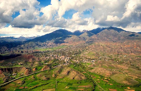
The population of 2011 is 52,324. The surface area is 2,308 square kilometers. Vayots Dzor’s capital is Yeghegnadzor.
Yerevan
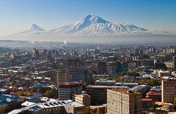
The population of 2011 is 1,060,138. The surface area is 223 square kilometers.
Armenia: Geography, Facts
- Population: 2,935,537
- Population Density: 103 per Km2
- Land Area: 28,470 Km ²
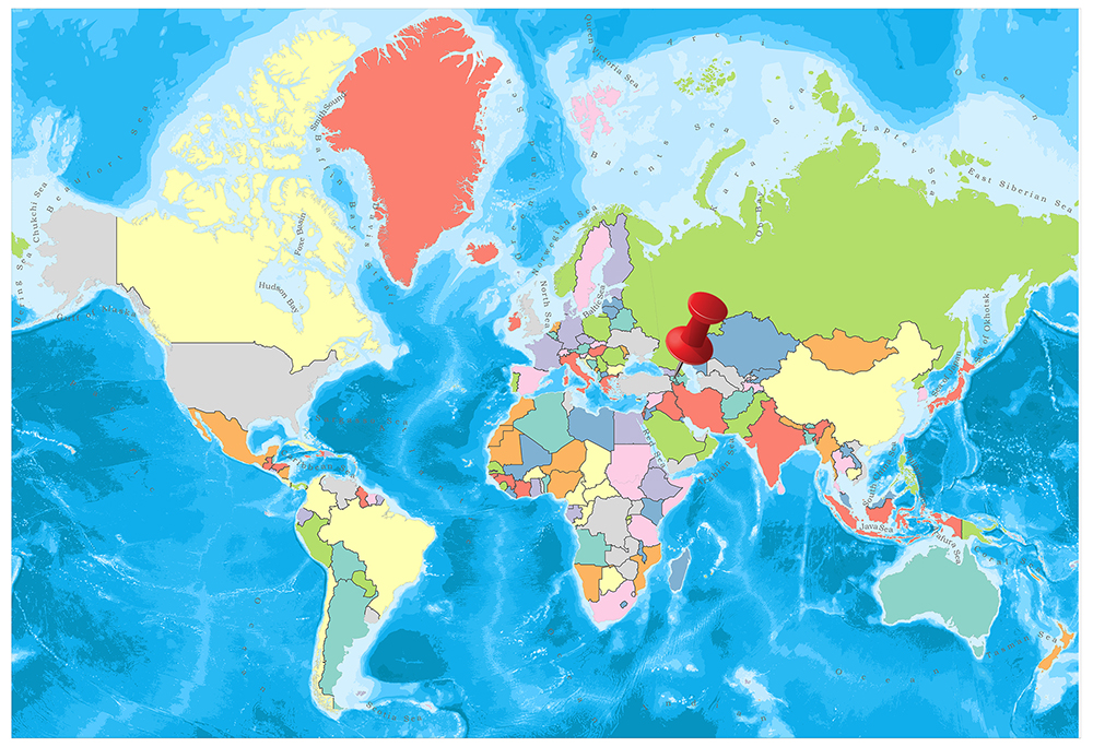
Armenia is located in the South Caucasus. Border countries are Georgia in the north, Nagorno-Karabakh Republic and Azerbaijan in the east, Iran to the south and Turkey and the Nakhchivan Autonomous Republic in the west.
Geography
The total area of Armenia is 29,743 km². Its lands are mountainous, high altitude and rugged, 90% of the land consists of elevations exceeding 900 meters and very little soil suitable for agriculture. The highest mountain in the country is Mount Aragatz with an altitude of 4,090 meters.
Governance
Armenia is divided into eleven territories. However, Yerevan, the capital of the country, is considered as the city and the province.
Every province is governed by the state government, the governor of each margin is elected by the government, and these governors must fulfill the regional policy of the government and regulate the regional affairs of the executive organs of the republic.
Climate
There is a continental climate in Armenia. Starting from the summer months until the middle of September is a very dry and hot climate. Humidity is very low. The spring season is quite short during the autumn season.
The winter months are quite harsh. Heavy snow and rain are observed, and temperatures range from -5 degrees to -10 degrees.
Religion
Armenia was the first country in the world to implement Christianity as a religion of the state. In particular, the Armenian Apostolic Church is the most common religion in Armenia, but in our time Armenia is a secular country so that the freedom of conscience and religion is legally supported. The largest religions of the rest of the population are other Christian sects (Catholicism, Russian Orthodox, etc.), Ezidism and Islam.
Industry and Tourism
Armenia’s economy is predominantly based on investments and the support of Armenians living abroad. The economy was largely industry-based, largely dependent on industry-based (chemicals, electronics, machinery, processed food, synthetic rubber, textiles), and external resources before it gained its independence. Today, the main import products are automotive, gold, tobacco products, wheat, machinery, and accessories.
The number of tourists visiting the country is growing at approximately 25% year and Armenia is an exotic country for many tourists with its ancient architectures and art examples.
Sports
Sports such as basketball, volleyball, and hockey are popular in Armenia, but the most popular sport in Armenia is football. The Armenian Football Federation of Bardzraguyn Humb and the Armenian National Football Team was established in 1991 and has been a member of UEFA since the same year.
Chess is also very popular and Armenia is much more successful in chess. The country has many famous Armenian chess players such as Garri Kasparov, Levon Aronian, Tigran Petrosian, Rafael Vaganian and Vladimir Akopian. Despite the country’s major economic problems, the 32nd Chess Olympiad in 1996 was presented in Yerevan. In 2006, Armenia won the 37th Chess Olympiad in Turin and won it again in Dresden two years later.