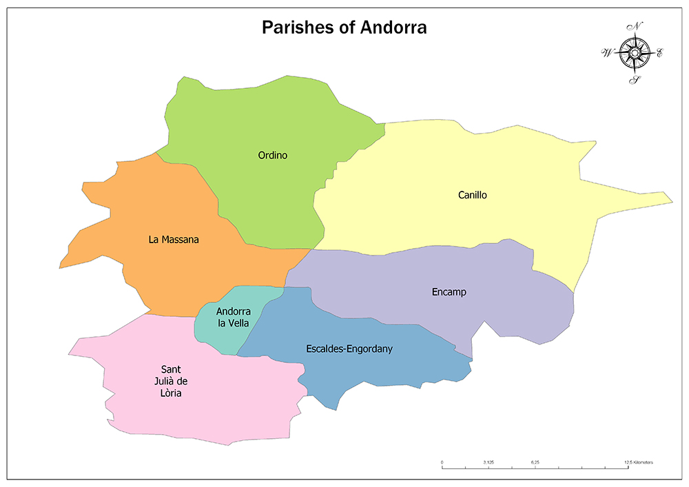
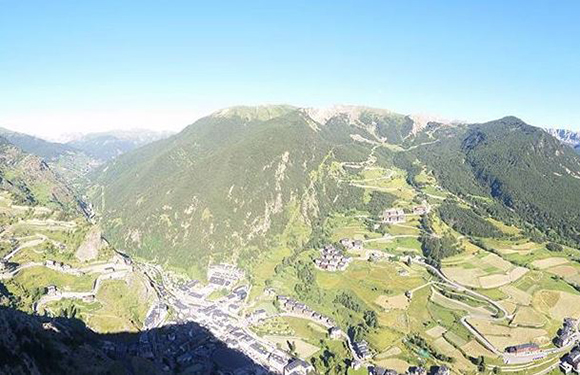
The European country of Andorra is divided into seven groups called parishes.
By 1978 there were six parishes in Andorra. The seventh parish, Escaldes-Engordany, was founded in 1978.
Andorra la Vella is the capital of Andorra and also a parish. Some parishes are further subdivided. While Ordino, La Massana, and Sant Julià de Lòria are divided into four sub-sections, Canillo is divided into ten sub-sections.
Each parish has its own local government, known as the commune in Catalonia, and has its own elected mayor as a director.
Seven Parishes of Andorra
Andorra is divided into seven parishes. The last parish is Escaldes-Engordany founded in 1978.
The parish of Andorra with its largest surface area is Canillo. The parish with the smallest area is the capital, Andorra la Vella. Andorra la Vella is the smallest and the most populated parish of Andorra.
The parish with the least population is Ordino. Parish, which has the lowest population density, is also Ordino.
Andorra la Vella
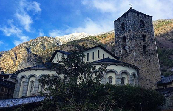
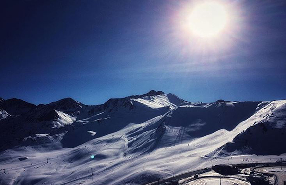
Andorra la Vella is the capital of Andorra. Its surface area is only 12 square kilometers and it has a population of about 25,000. The population density of the region is 2047 / sq. Km. The main industry is tourism, but the country also earns foreign income from being a tax haven. Located at an altitude of 1,023 meters, it is the highest capital in Europe and a popular ski resort.
Canillo
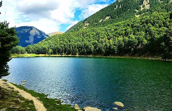
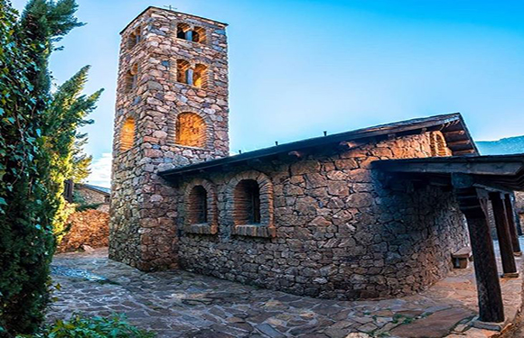
Canillo is one of the parishes of Andorra and is also one of the cities of Canillo parish. The area is 121 km and its population is around 5,500. The population density of the region is 44.80 / square kilometer. Canillo, one of the lowest in the population, is the largest in terms of area. Because Canillo, Sanctuary and Chapel of Our Lady of Meritxell, the patron saint of Andorra and Sant Joan de Caselles are located in the region it is the religious center of Andorra. Apart from tourism, Canillo provides income in agriculture and animal husbandry in Andorra.
Encamp
Encamp is one of the parishes of Andorra in the Valira d’Orient river. Encamp is also the name of the main town of parish. Parish is 74 square kilometers and has a population of around 14,000. The population density of the region is 189.58 / square kilometers. The height of the region from sea level is 1,300 meters. The economy of the region is mostly based on the tourism sector, especially on skiing and nature walks.
Escaldes-Engordany
Escaldes-Engordany is one of the parishes of Andorra. The district is divided into sub-regions of Escaldes, Engordany, Els Vilars d’Engordany, Engolasters, and El Fener. The surface area of Escaldes-Engordany is 47 square kilometers and its population is around 16,000. The population density of the region is 350.53 / square kilometer. It is neighbor with Encamp to the north and northeast, Sant Julià de Lòria to the southwest, Andorra la Vella to the west, La Massana to the northwest and Catalonia to the east, Spain to the east, south, and southeast to Spain.
La Massana
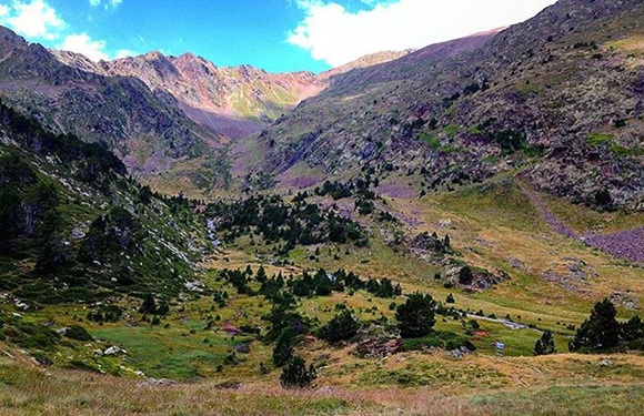
La Massana is one of the seven parishes of the Principality of Andorra and is located in the northwest of the country. La Massana is also the name of the town’s main town. The parish has a surface area of 65 kilometers and its population is around 9,300. The population density of the parish is 143.95 / square kilometers. La Massana is a very mountainous region and is home to Coma Pedrosa, the highest mountain in Andorra. The region is adjacent to Spain in the west.
Ordino
The Ordino is the northernmost region in the Principality of Andorra. Ordino is also the name of the region’s main town. The parish has a surface area of 89 square kilometers and a population of around 4,800. The population density of the region is 41.40 / square kilometers. The town is now preserved as a large medieval center connected with the culture of the country. The region borders France, La Massana, Canillo, and Encamp.
Sant Julià de Lòria
Sant Julià de Lòria is the parish of Andorra, located in the southernmost part of the country. It is also the name of the main town of the region. The surface area of Sant Julià de Lòria is 60 square kilometers and its population is around 9,500. The population density of the region is 159.91 / square kilometer. Sant Julià de Lòria is adjacent to Andorra la Vella in the north, Escaldes-Engordany and Catalonia in the northeast, and Spain in the south, east and west.