Download free, printable blank maps of India in several styles — plain outlines, state-border maps, labeled reference versions, and colorable practice maps. Perfect for teachers, students, geography quizzes, and anyone who needs a clean outline map of India. Every map is free to download and print.
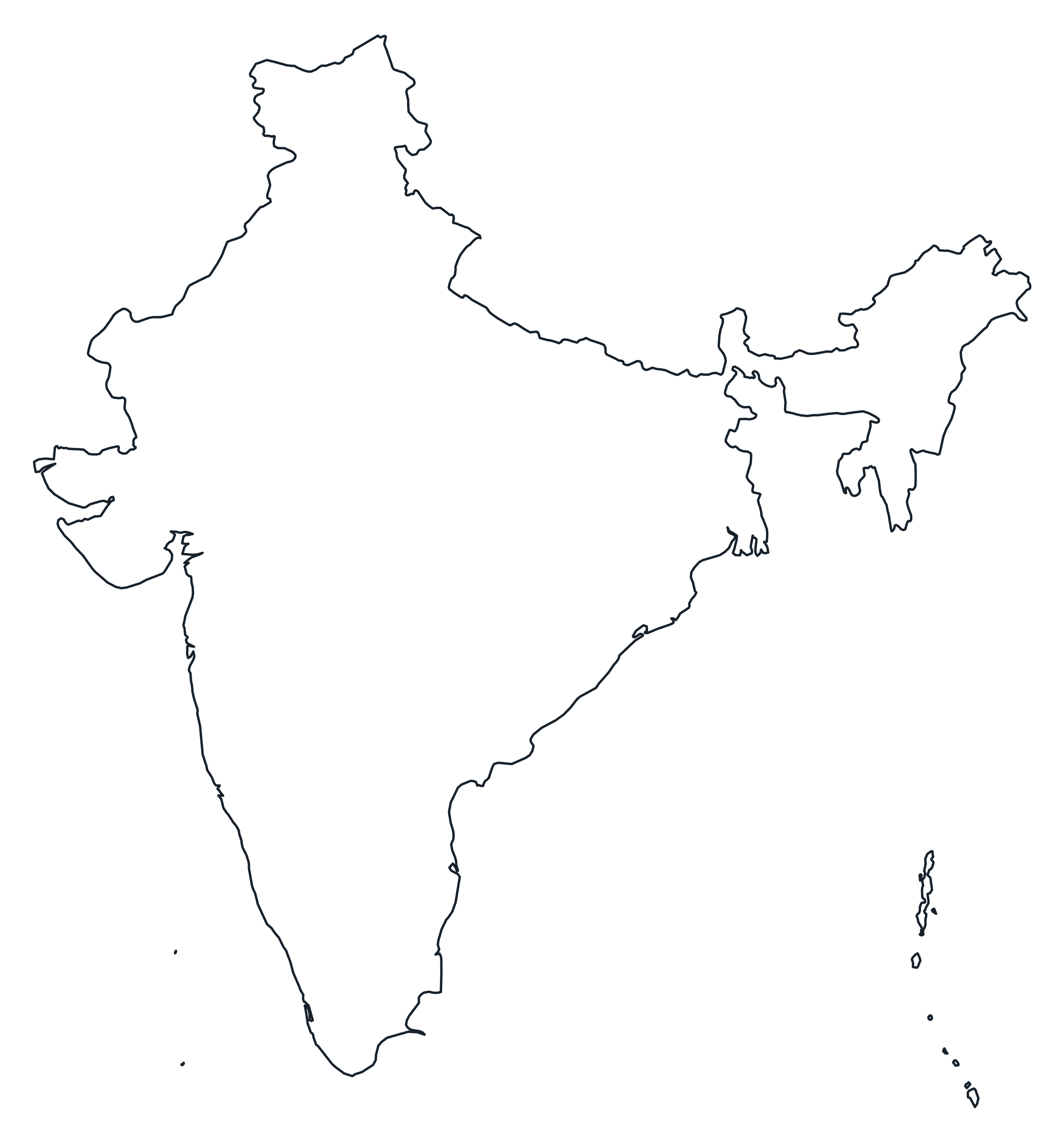
Blank Outline Map of India
A plain blank outline of India — just the outer border, ready to label or fill in.
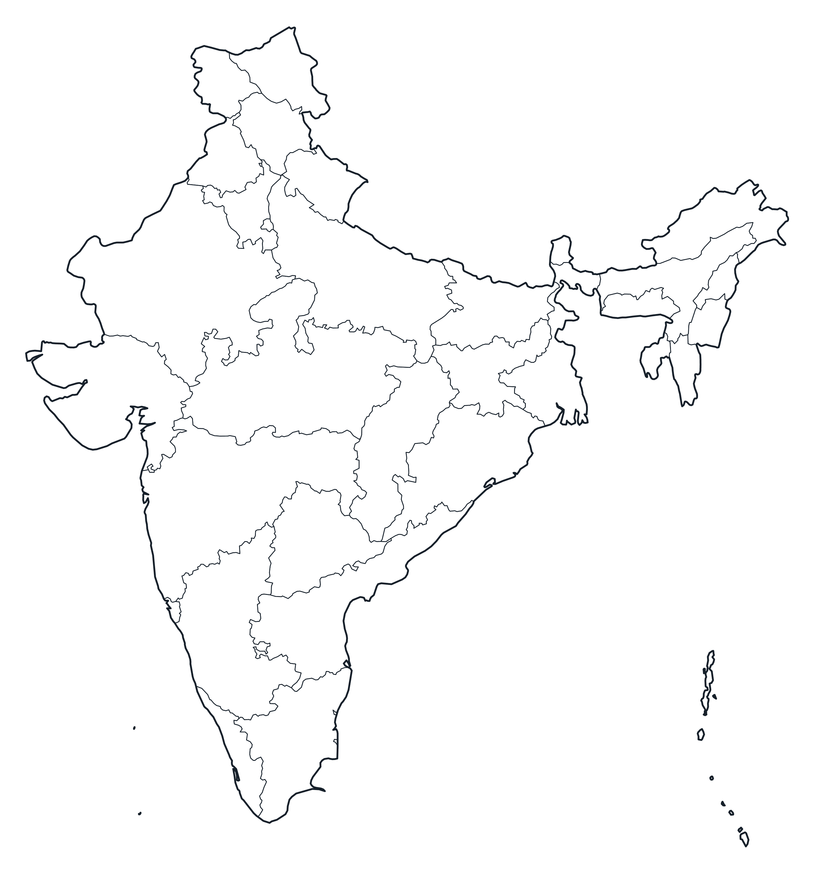
India Map with state Borders
India with internal state borders and no names — the classic blank map for quizzes.
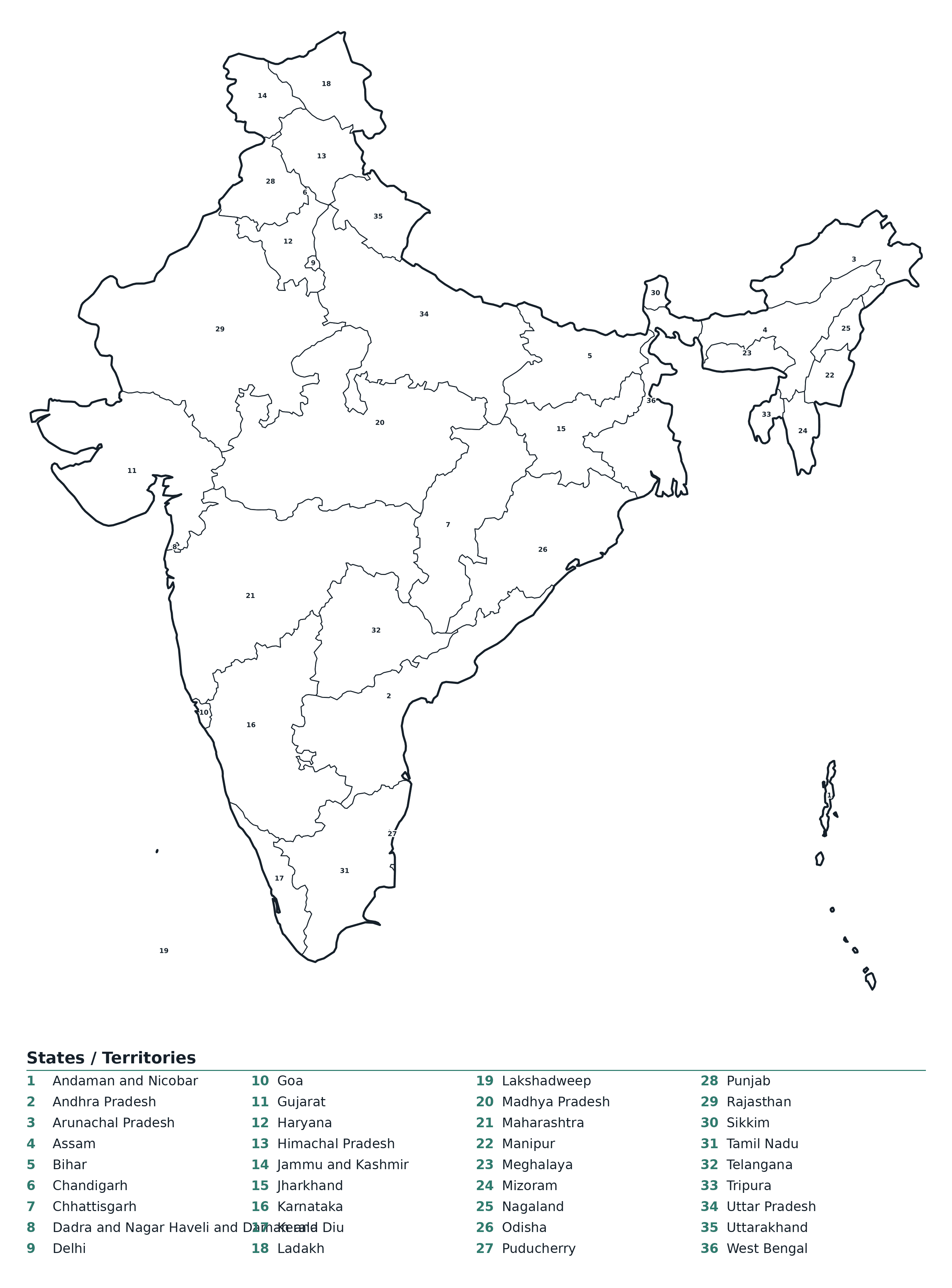
Labeled Map of India
A labeled reference map of India showing every state.
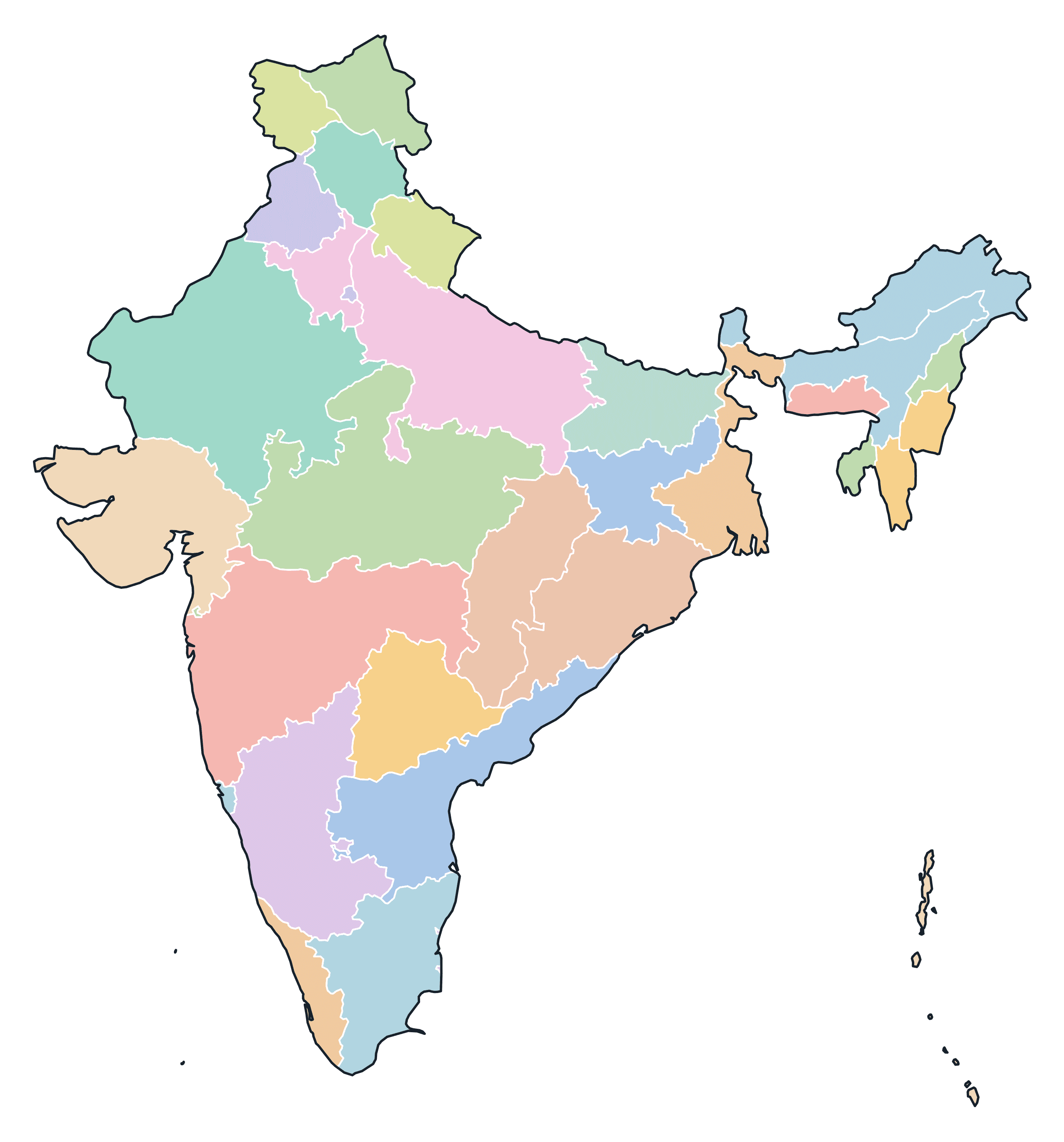
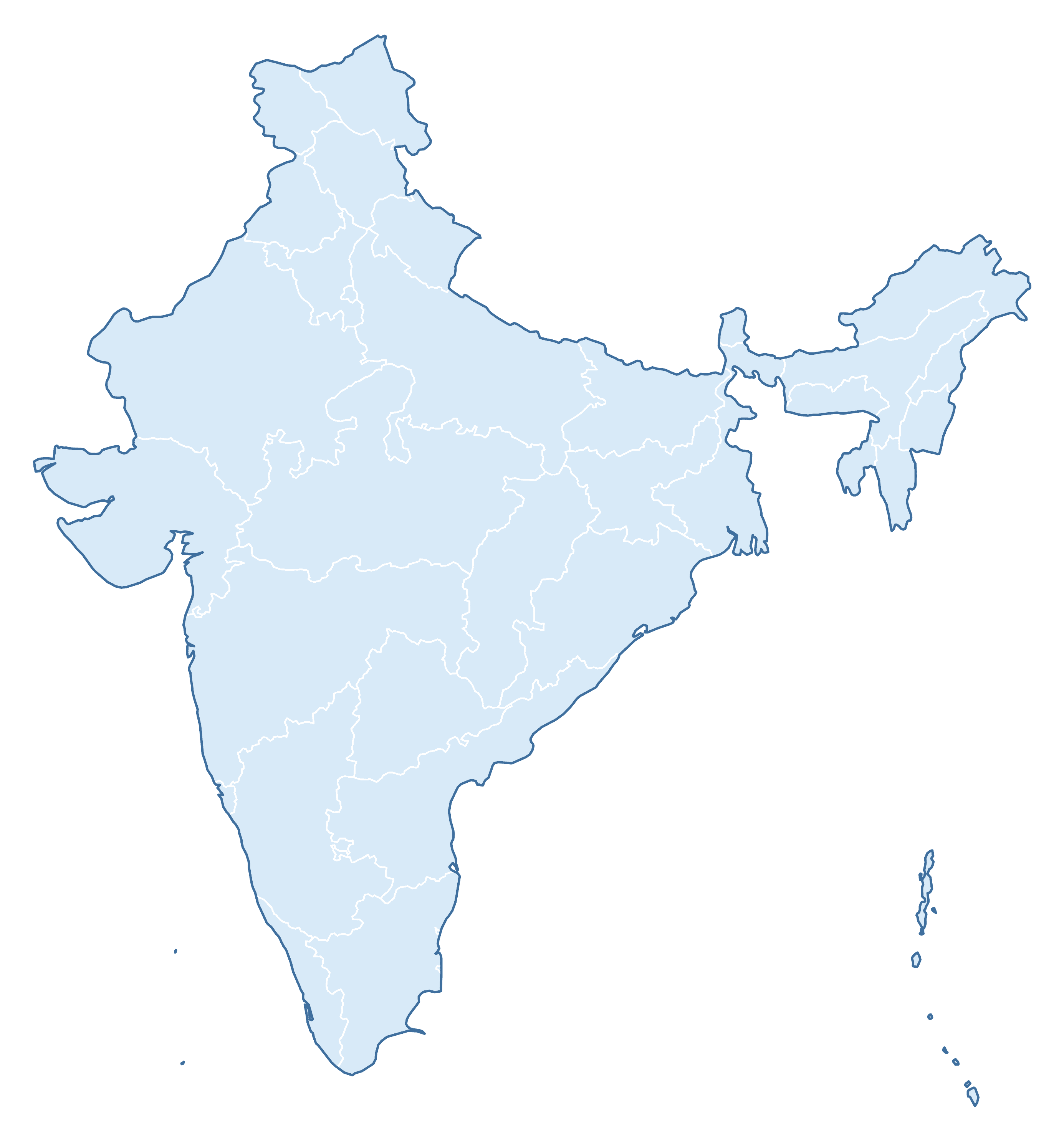
Colored Map of India
A clean color-coded map of India — handy for presentations and study aids.
Blank Practice Map of India
A blind practice map of India — test yourself by filling in the names from memory.
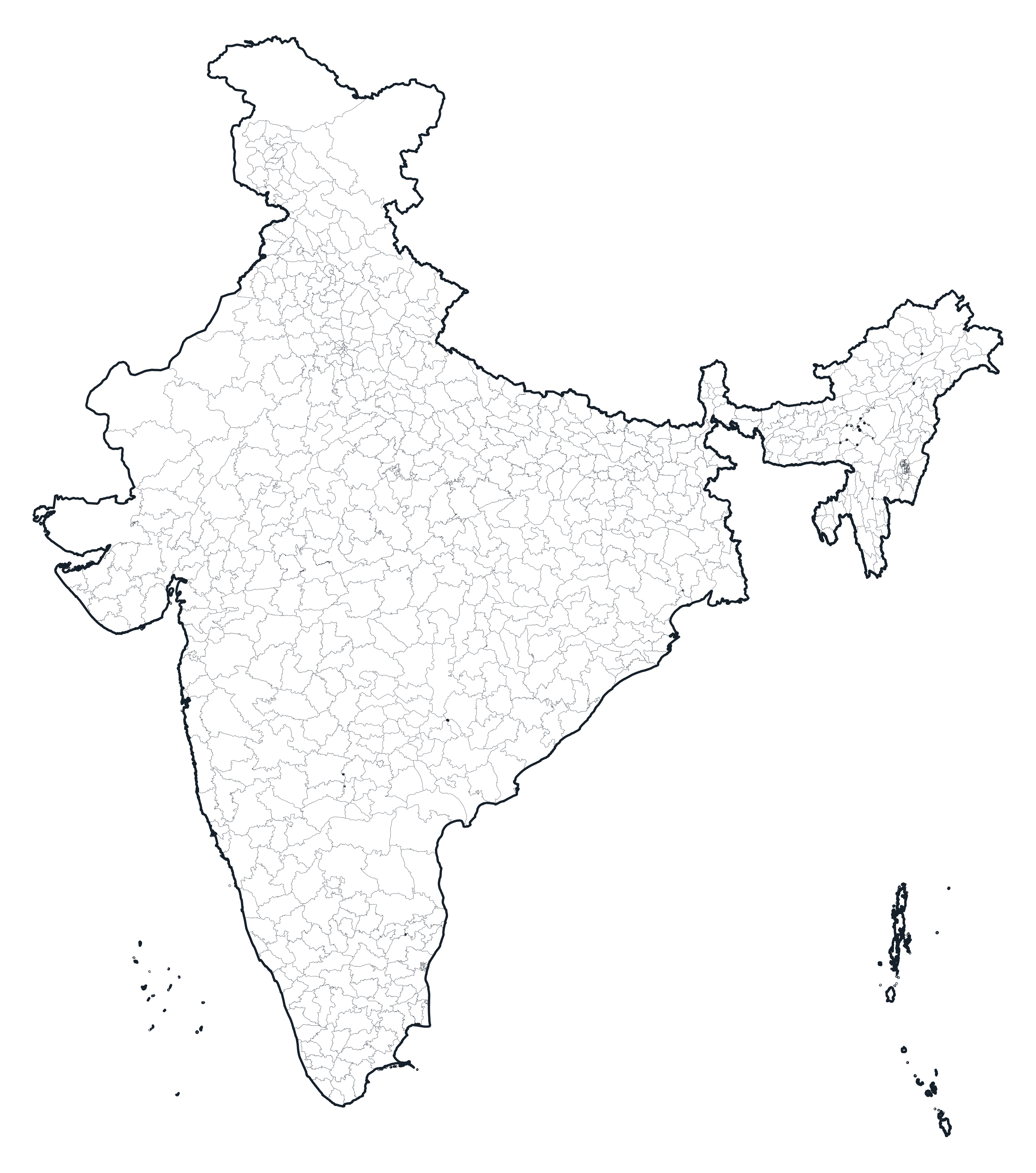
India Map with Districts (Admin Level 2)
For more detail, here is India mapped at its second administrative level — its districts (735 in total). These show every boundary, with no names.
Districts Borders Map
Every boundary outlined.
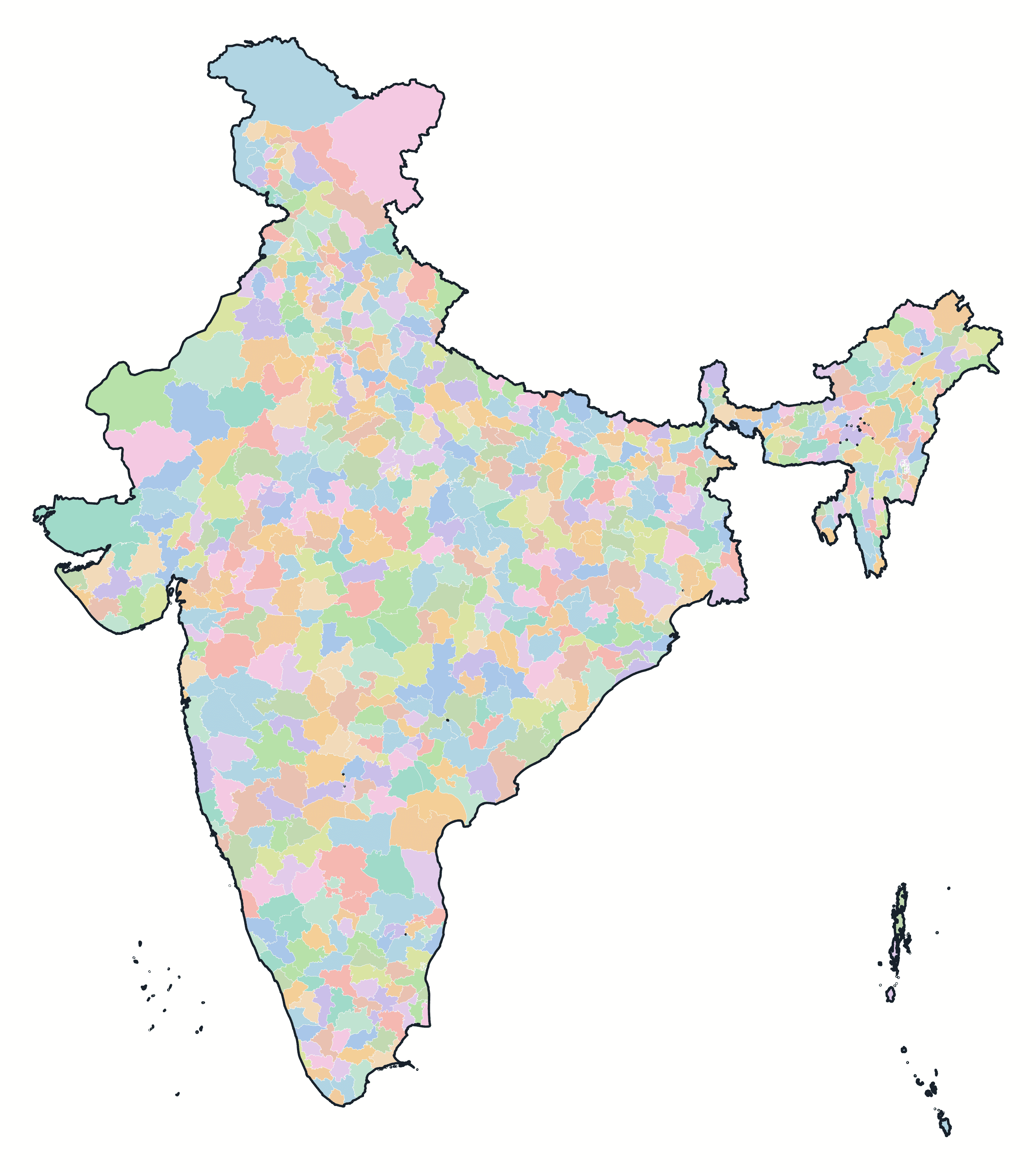
Colored Districts Map
Each in its own colour.
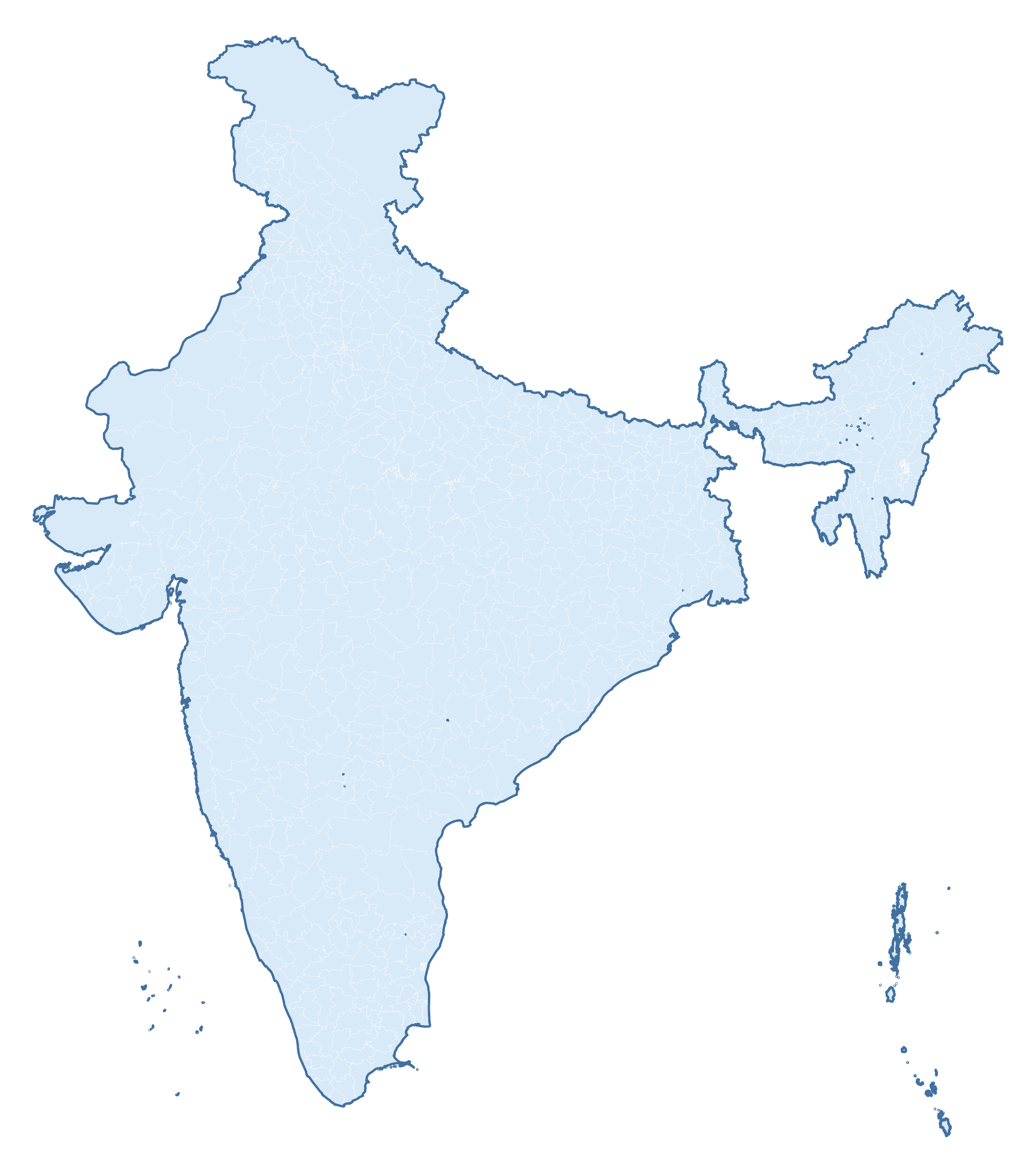
Blank Practice Districts Map
Blind map for practice.
Download & Print
All of the maps above are free for personal and classroom use. Grab the print-ready PDF below — it prints crisply on standard A4 or US Letter paper.
Africa Blank Maps
Blank Map of Africa: PDF Download
Europe Blank Maps
Download free, printable blank maps of Europe in several styles — plain outlines, country-border maps, labeled reference…
Asia Blank Maps
Download free, printable blank maps of Asia in several styles — plain outlines, country-border maps, labeled reference versions,…
Blank Maps
Find Blank maps from different continents, countries, states, and more. This section is in development. More coming soon.
Australia Blank Maps
Download free, printable blank maps of Australia in several styles — plain outlines, state & territory-border maps, a labelled…
Japan Blank Maps
Download free, printable blank maps of Japan in several styles — plain outlines, prefecture-border maps, a labelled reference…