
Key Takeaways
- San Juan dominates. Luis Muñoz Marín International (SJU) serves around 54 regularly-served nonstop destinations — far more than any other Puerto Rican airport and one of the busiest in the whole Caribbean. It is a major JetBlue focus city and the connecting point between the US mainland and the rest of the region.
- It is all domestic flying. Puerto Rico is an unincorporated US territory, so a flight from San Juan to New York, Orlando or Miami is a domestic flight — no passport, no customs. That makes its airport map look more like a busy US state than a foreign country.
- San Juan has two airports. Alongside the big international airport (SJU), the capital has the small in-city Isla Grande / Fernando Luis Ribas Dominicci airport (SIG), which handles regional, general-aviation and island-hopper flights.
- An island-hopper network. Small carriers Cape Air and Air Flamenco link the island municipalities of Vieques and Culebra to San Juan and Ceiba in little propeller planes — the everyday transport for residents and beach-bound visitors alike.
- Aguadilla’s cargo runway. Rafael Hernández (BQN) in the west, built on the former Ramey Air Force Base, has one of the region’s longest runways and is a freight gateway for operators such as FedEx and Emirates SkyCargo. Its passenger side is low-cost flights to the US mainland.
Puerto Rico packs a remarkable amount of aviation into a Caribbean archipelago of about 3.2 million people. Because it is an unincorporated US territory, its busiest airport doubles as a domestic gateway for travel to the 50 states and as one of the main connecting hubs for the wider Caribbean — a combination that gives the island far more flights, and far more US cities, than its size would suggest.
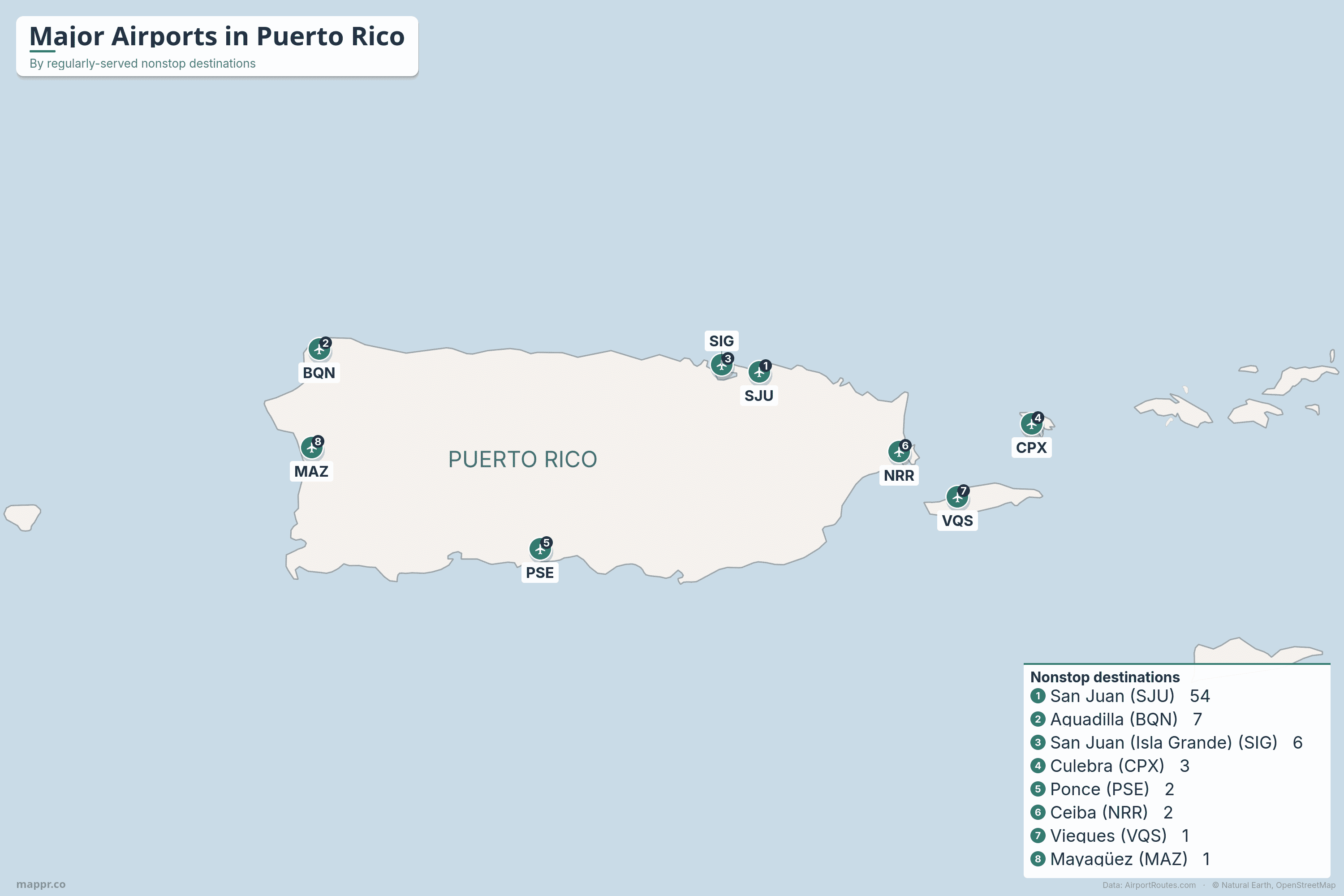
Eight airports carry scheduled passenger service. San Juan towers over everything; Aguadilla in the west and Ponce in the south have their own nonstop links to the mainland; and a web of small-plane services ties the islands of Vieques and Culebra to the main island. The map and table below rank them by the number of destinations they serve with regular flights, drawing on live AirportRoutes route data.
Can you fly nonstop from Puerto Rico to the US mainland?
Yes — constantly, and you won’t need a passport. Because Puerto Rico is a US territory, a flight from San Juan to New York, Orlando or Miami counts as a domestic flight, with no customs or immigration on arrival. This is the opposite of every other Caribbean nation, where a US trip is an international journey.
San Juan (SJU) has by far the widest mainland network, with roughly 15 US gateways including New York, Orlando, Newark, Fort Lauderdale, Miami, Boston, Philadelphia, Baltimore, Atlanta, Charlotte, Hartford, Houston and Tampa. Aguadilla (BQN) in the west and Ponce (PSE) in the south add their own nonstops to New York, Orlando and Florida. The flying is led by JetBlue — which runs a major focus city at San Juan — alongside Frontier, Spirit, American, United and Delta. The rest of Puerto Rico’s airports feed into San Juan, or fly short hops to the US and British Virgin Islands and the Dominican Republic.
RANKED BY DESTINATIONS
Puerto Rico’s airports with scheduled service
By regularly-served nonstop destinations (live AirportRoutes data). San Juan dominates, the capital has two airports, and the smallest fields are island-hopper and regional gateways.
| Airport | IATA | Serves | City / region |
|---|---|---|---|
| 1. Luis Muñoz Marín Intl | SJU | 54 | San Juan |
| 2. Rafael Hernández Intl | BQN | 7 | Aguadilla / West |
| 3. Isla Grande (Ribas Dominicci) | SIG | 6 | San Juan |
| 4. Benjamín Rivera Noriega | CPX | 3 | Culebra (island) |
| 5. Mercedita Intl | PSE | 2 | Ponce / South coast |
| 6. José Aponte de la Torre | NRR | 2 | Ceiba / East |
| 7. Antonio Rivera Rodríguez | VQS | 1 | Vieques (island) |
| 8. Eugenio María de Hostos | MAZ | 1 | Mayagüez / West |
A closer look at Puerto Rico’s airports
✈️ Luis Muñoz Marín International (SJU)
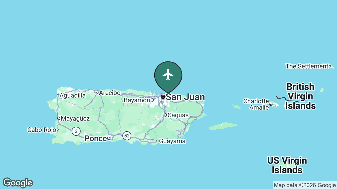
Luis Muñoz Marín International, in Carolina just east of San Juan, is Puerto Rico’s front door and the busiest airport in the territory by a wide margin. It is consistently among the busiest airports in the Caribbean, and a major focus city for JetBlue, which bases a large share of its Caribbean network here.
SJU reaches around 54 regularly-served nonstop destinations, blending dozens of US-mainland routes with links across the Caribbean to the US and British Virgin Islands, the Dominican Republic, St Barthélemy and beyond. For most visitors and returning Puerto Ricans, this is where the journey begins.
Main airlines: JetBlue, Frontier, Spirit, American Airlines, United and Delta Air Lines, with Cape Air on the island-hopper routes. See SJU’s full route map on AirportRoutes →
✈️ Rafael Hernández International (BQN)
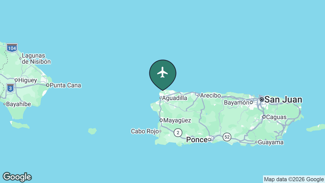
Rafael Hernández International serves Aguadilla and the north-west corner of the island, on the site of the former Ramey Air Force Base. That military heritage left it with one of the longest runways in the Caribbean — which is why it has become an important cargo gateway as well as a passenger airport.
On the freight side, operators such as FedEx and Emirates SkyCargo use Aguadilla, and its long-haul “destinations” in the data (including Amsterdam) are freighter routes rather than passenger flights. Its passenger service — around 7 regularly-served destinations — is low-cost flying to the US mainland: New York, Orlando, Newark and Fort Lauderdale.
Main passenger airlines: JetBlue, Frontier and United (plus FedEx and Emirates SkyCargo on the cargo side). See BQN’s full route map on AirportRoutes →
✈️ Isla Grande – Fernando Luis Ribas Dominicci (SIG)
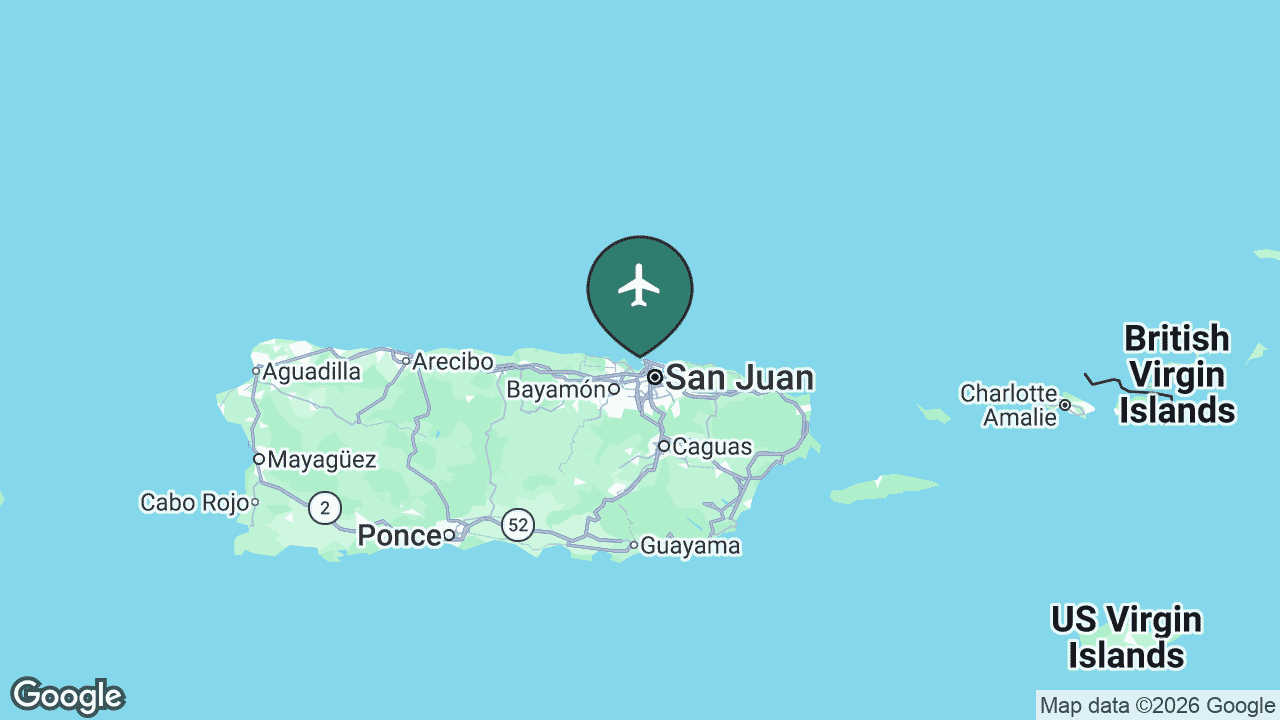
Fernando Luis Ribas Dominicci, universally known as Isla Grande, is San Juan’s second airport — a compact field right on the city’s waterfront, next to the Convention Center district. It handles regional, island-hopper and general-aviation flights rather than mainline jets.
SIG records about 6 regularly-served nonstop destinations. Its bread and butter is small-plane service to Vieques and Culebra with Air Flamenco and Cape Air, plus a few cross-water hops to the Dominican Republic. The “US” points in its data — fields like White Plains, Fort Lauderdale Executive and Teterboro — are general-aviation and charter destinations, not scheduled passenger routes.
Main airlines: Air Flamenco and Cape Air. See SIG’s full route map on AirportRoutes →
✈️ Benjamín Rivera Noriega – Culebra (CPX)
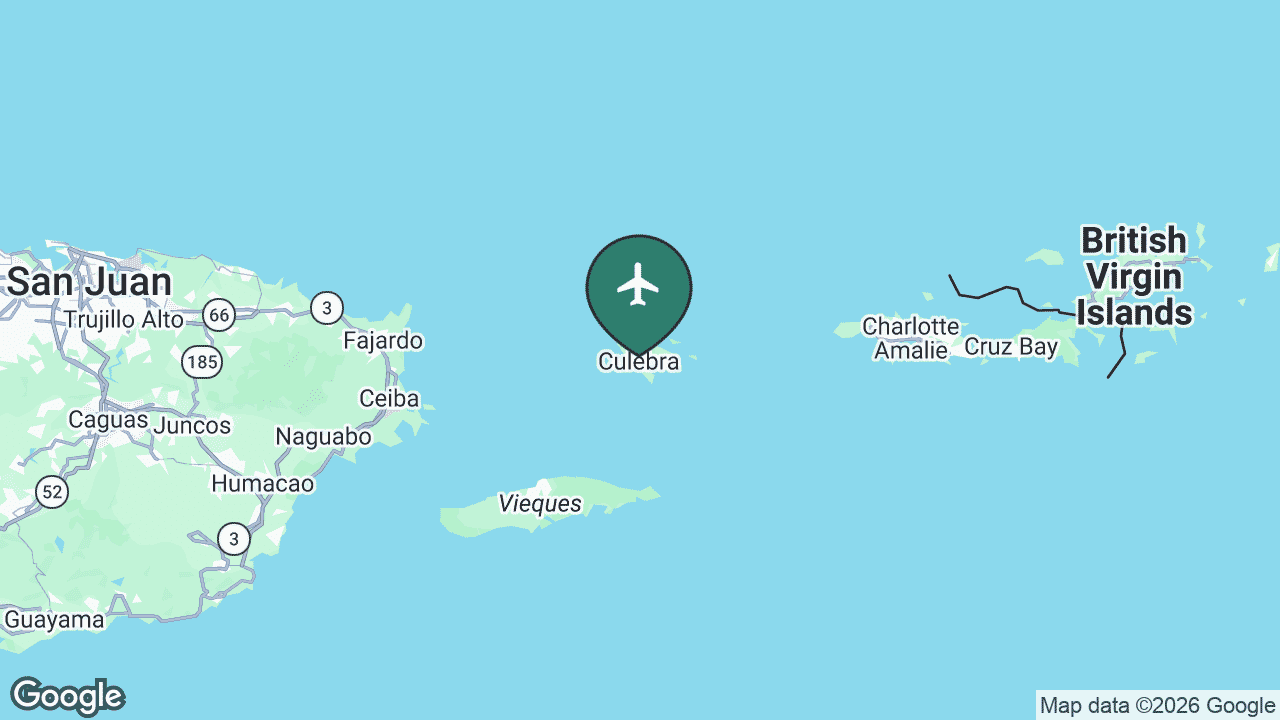
Benjamín Rivera Noriega Airport is the lifeline of Culebra, a small island municipality off Puerto Rico’s east coast famous for Flamenco Beach, regularly rated among the best in the world. The airport is tiny, but its handful of daily flights are essential transport for residents and day-trippers.
CPX serves about 3 regularly-served destinations — short hops to Ceiba on the main island, San Juan’s two airports and neighbouring Vieques. It ranks higher than several mainland fields here only because those little island routes run often enough to count as “regular.”
Main airlines: Air Flamenco and Cape Air. See CPX’s full route map on AirportRoutes →
✈️ Mercedita International (PSE)
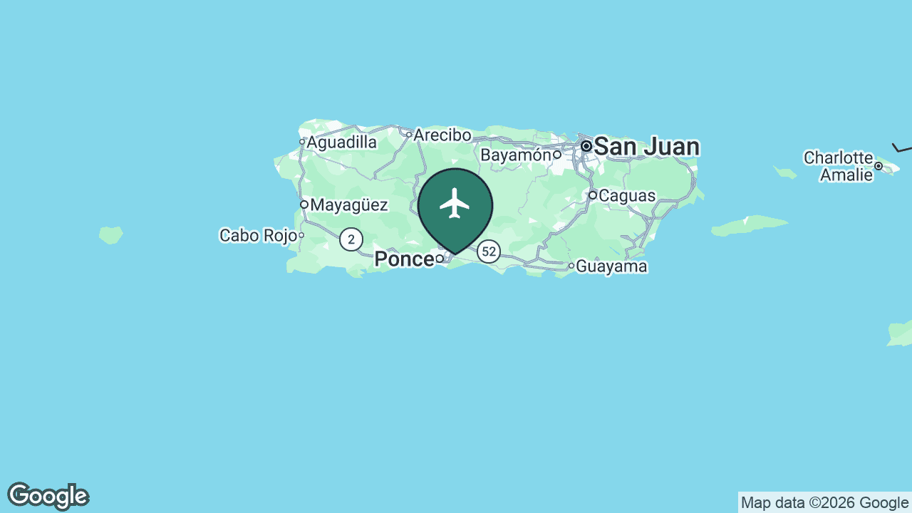
Mercedita International serves Ponce, Puerto Rico’s second-largest city and the cultural capital of the south coast. It is the main airport for the southern half of the island, sparing residents the drive over the central mountains to San Juan.
PSE has a small but genuinely mainland-facing network — around 2 regularly-served destinations, with low-cost nonstops to New York and Orlando. It sits above Ceiba in the ranking because, unlike the island-hopper fields, it is a larger airport flying full-size jets to the mainland.
Main airlines: JetBlue and Frontier. See PSE’s full route map on AirportRoutes →
✈️ José Aponte de la Torre – Ceiba (NRR)
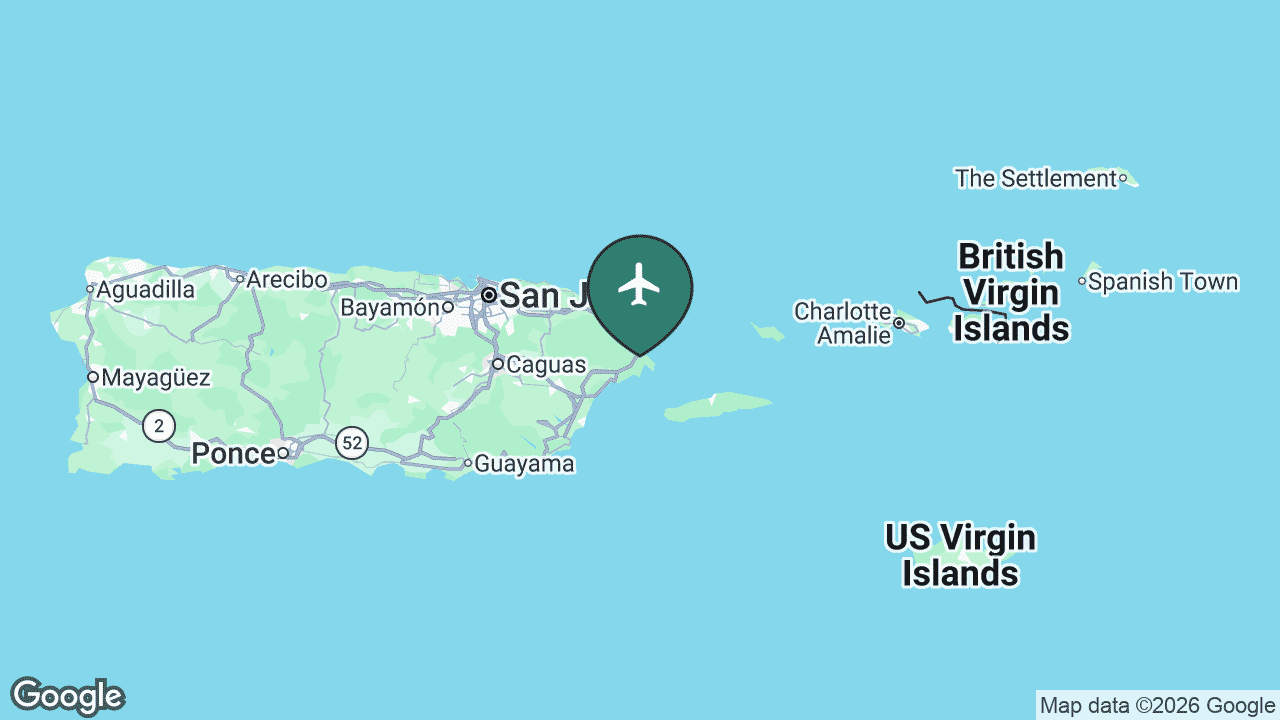
José Aponte de la Torre Airport sits at Ceiba on the east coast, on part of the former Roosevelt Roads US naval station, which closed in 2004. Today it is the mainland’s main jumping-off point for the offshore islands.
NRR serves about 2 regularly-served destinations, essentially short Air Flamenco runs to Culebra and Vieques and over to San Juan’s Isla Grande. For many island residents, driving to Ceiba and taking the quick flight (or the nearby ferry) is the everyday way to reach the main island.
Main airline: Air Flamenco. See NRR’s full route map on AirportRoutes →
✈️ Antonio Rivera Rodríguez – Vieques (VQS)
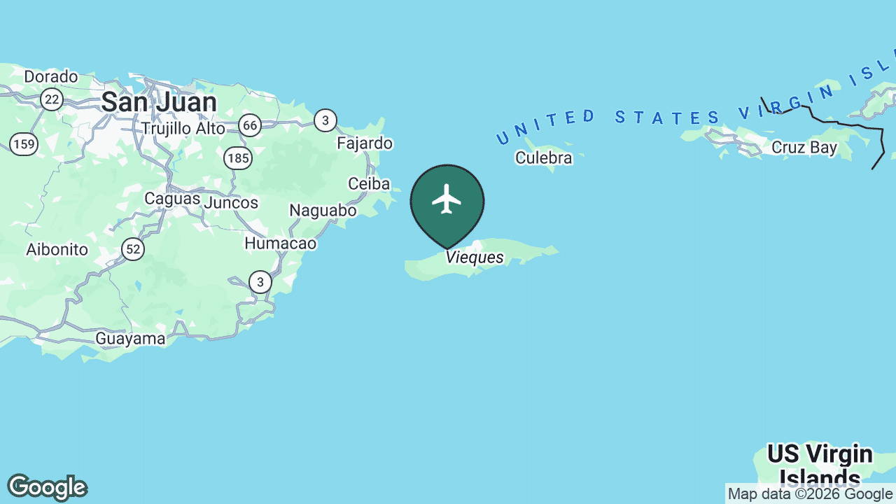
Antonio Rivera Rodríguez Airport serves Vieques, the larger of Puerto Rico’s two inhabited offshore islands, known for wild horses, quiet beaches and the dazzling bioluminescent Mosquito Bay. Like Culebra, much of the island was a US Navy range until the early 2000s.
VQS records about 1 regularly-served destination in the filtered data, but in practice Cape Air and Air Flamenco link it on small planes to San Juan, Ceiba and the US Virgin Islands of St Thomas and St Croix. It is a classic short-hop island airport rather than a scheduled-jet destination.
Main airline: Cape Air. See VQS’s full route map on AirportRoutes →
✈️ Eugenio María de Hostos – Mayagüez (MAZ)
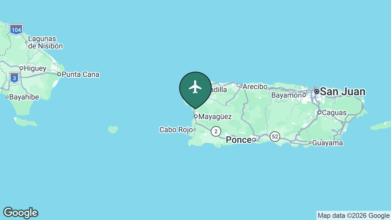
Eugenio María de Hostos Airport serves Mayagüez, the largest city on Puerto Rico’s west coast and home to one of the island’s main university campuses. It is a small regional field tucked between the hills and the Mona Passage.
MAZ has the most modest network of all — about 1 regularly-served destination, a Cape Air shuttle across the island to San Juan that saves western residents the two-hour drive. It keeps the far west connected to the main hub.
Main airline: Cape Air. See MAZ’s full route map on AirportRoutes →
Airport rankings, nonstop-destination counts, served cities, airline lists and US connections are drawn from live AirportRoutes route data (observed AeroAPI flight data — a sample, not a complete published schedule; we use the regularly-served figure, which filters one-off observations). Airport history and notable facts are cross-checked against the cited references. The maps are Mappr originals.
Primary Data Source:
- AirportRoutes — Major airports & routes, Puerto Rico – Live route data: per-airport nonstop destinations, served cities, airlines and US connections.
References:
- Aerostar Airport Holdings — San Juan (SJU) – Operator of Luis Muñoz Marín International, Puerto Rico’s main airport.
- Puerto Rico Ports Authority – Public authority overseeing Puerto Rico’s regional airports.
- Wikipedia — Luis Muñoz Marín International Airport – Airport background, passenger figures and operational history.
- Google Static Maps – Base maps for the per-airport locator images.


