Key Takeaways
- Google killed the $200/mo free credit. The credit ended in February 2025 and Google launched the Places API (New) with field-masking billing — costs spike for small developers, and Place Autocomplete was deprecated for new projects in March 2025.
- Mapbox is the closest drop-in replacement. Solid SDKs, polished docs, generous free tier (50K monthly active users), and feature parity with Google's modern stack — the standard pick for teams that just need it to work.
- OpenStreetMap + Nominatim is the free path. Truly free if you self-host (or 1 req/sec on the public Nominatim endpoint). Trade-off is rate limits, fewer business attributes, and infrastructure work.
- Foursquare and Overture lead on POI quality. For business-listings-grade place data (categories, hours, ratings), Foursquare's API and the open Overture Maps Foundation dataset beat OSM. Foursquare commercial, Overture free.
- Pick by job, not by brand. Geocoding-only (address → lat/long) → Geocodio or LocationIQ (cheap, fast). Full places search (POI lookup, autocomplete, photos) → Mapbox, HERE, or MapTiler. Don't pay for a Places API if you only need geocoding.
Why Developers Are Leaving Google Places API
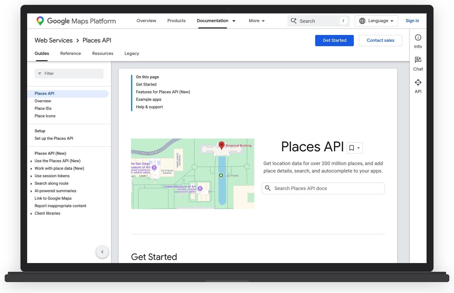
The Google Places API lets developers retrieve location data – business details, reviews, photos, and address autocomplete – via HTTP requests that return JSON or XML. It has been the default choice for years, but that changed in 2025.
Google launched the Places API (New) with a field-masking billing model where you pay per field requested. The legacy Place Autocomplete was deprecated for new projects in March 2025. More importantly, the $200/month free credit that made Google accessible to small developers ended in February 2025.
The new pricing structure forces developers into subscription plans: Essentials at roughly $275/month for 100K calls, or Pro at around $1,200/month for 250K calls. For many projects, especially startups, indie developers, and small businesses, that is a steep price for location data.
The good news: there are strong alternatives. Some are completely free and open-source. Others offer far more generous free tiers than Google ever did. Below, we compare 13 Google Places API alternatives across pricing, features, and best use cases.
Google Places API Alternatives: Comparison Table
Here is a quick overview of all 14 alternatives. Scroll down for detailed reviews of each.
| Service | Free Tier | Paid From | Key Strength | Best For |
|---|---|---|---|---|
| Mapbox | 100K req/mo | Pay-as-you-go | Search + geocoding + custom maps | Full-stack map apps |
| OpenStreetMap / Nominatim | Unlimited (self-hosted) | Free (hosting costs) | Open data, no vendor lock-in | Open-source projects |
| HERE | 250K txn/mo | Pay-as-you-go | Enterprise mapping + fleet mgmt | Logistics, enterprise |
| LocationIQ | 5K req/day | $49/mo | OSM-based, affordable | Budget geocoding |
| MapTiler | 100K req/mo | $25/mo | Tile rendering + geocoding | Custom map styling |
| Radar | 100K req/mo | $250/mo | Geofencing + Places search | Mobile apps, geofencing |
| Geocodio | 2,500 req/day | $50/mo | US/Canada geocoding + data | US-focused apps |
| ArcGIS | Limited free tier | Custom pricing | Full GIS platform | Government, utilities, GIS |
| Geoapify | 3K req/day | $59/mo | Places + Geocoding + Routing | Full-stack alternative |
| TomTom | 50K txn/day | Pay-as-you-go | Search + traffic + EV routing | Automotive, navigation |
| Overture Maps Foundation | Unlimited (bulk data) | Free | 53M+ POIs, open dataset | Data pipelines, analytics |
| Foursquare Places API | Limited free tier | Custom pricing | 100M+ POIs, venue data | Venue/POI enrichment |
| Azure Maps | Limited free tier | Pay-as-you-go | Azure ecosystem integration | Microsoft/Azure shops |
13 Best Google Places API Alternatives
1. Mapbox
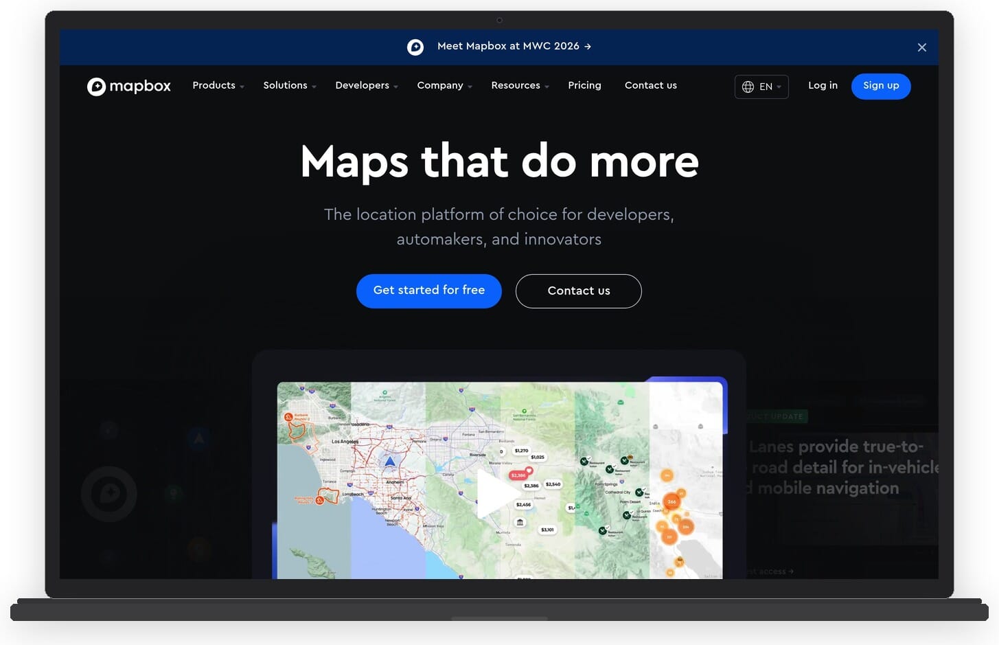
Mapbox is one of the most established Google Maps and Places API alternatives, trusted by companies like Strava, The Washington Post, and Instacart. It provides a comprehensive suite of location APIs including geocoding, search, navigation, and custom map rendering.
Mapbox’s Search API is its direct competitor to Google Places. It supports forward and reverse geocoding, address autofill, and point-of-interest (POI) search. The Mapbox GL JS library makes it straightforward to integrate interactive maps into web apps with extensive styling options.
Key features:
- Search API with POI lookup, address autofill, and geocoding
- Mapbox GL JS for custom-styled, vector-based interactive maps
- Navigation SDK for turn-by-turn routing
- Studio for visual map design and custom tilesets
- Strong documentation and SDKs for iOS, Android, and web
Pricing: Free tier includes 100,000 map loads and geocoding requests per month. Pay-as-you-go beyond that with volume discounts. Far more predictable than Google’s pricing model.
Best for: Developers building full-stack location apps who want custom map styling, solid documentation, and a generous free tier.
2. OpenStreetMap / Nominatim
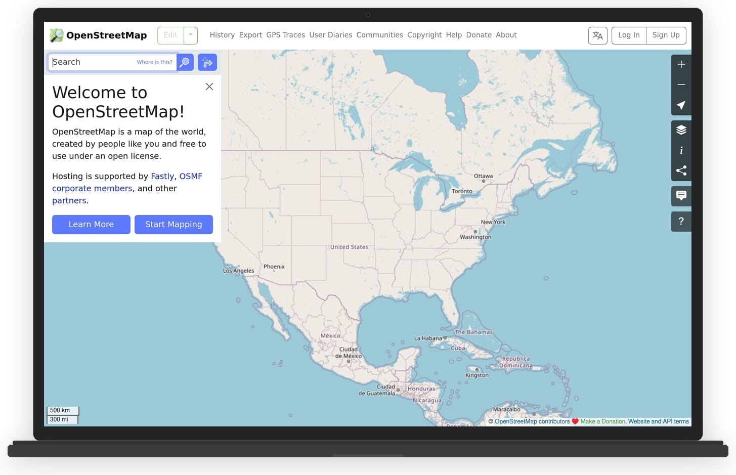
OpenStreetMap (OSM) is the Wikipedia of maps – a collaborative, open-source mapping project with data contributed by millions of volunteers worldwide. Nominatim is its geocoding engine, converting addresses to coordinates and vice versa.
OSM data is free to use under the Open Database License (ODbL). You can self-host Nominatim for unlimited geocoding with zero API costs, or use third-party hosted instances (though the public Nominatim server has strict rate limits).
Several commercial APIs like LocationIQ, MapTiler, and Geoapify are built on OSM data, so if you use any of them, you are indirectly using OpenStreetMap. For rendering, open-source libraries like Leaflet and OpenLayers pair well with OSM tiles to create interactive maps.
The Overture Maps Foundation (covered below) now also contributes cleaned, structured data back to the OSM ecosystem, improving data quality especially for POI coverage.
Key features:
- Completely free and open-source map data
- Nominatim for geocoding and reverse geocoding
- Self-hostable – no API key required, no vendor lock-in
- Global coverage with community-driven updates
- Pairs with Leaflet and OpenLayers for map rendering
Pricing: Free. You only pay for your own server hosting if self-hosting Nominatim. Third-party hosted OSM APIs (LocationIQ, MapTiler, etc.) have their own pricing.
Best for: Open-source projects, developers who want full control over their stack, and anyone who wants to avoid vendor lock-in entirely.
3. HERE
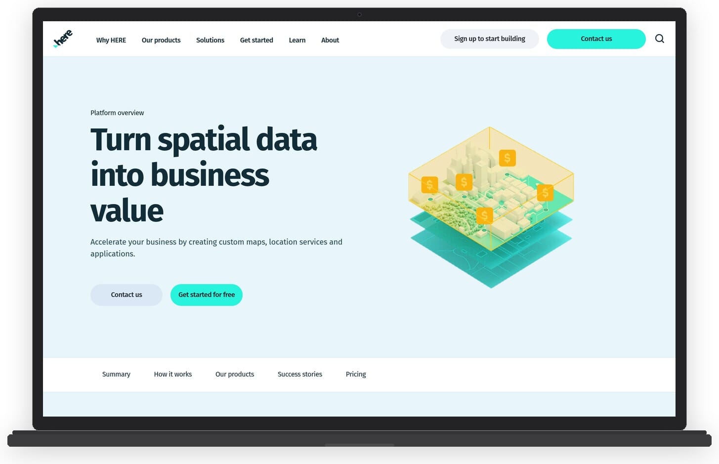
HERE Technologies is an enterprise-grade mapping and location platform backed by automotive giants Audi, BMW, and Mercedes-Benz. It offers one of the most generous free tiers in the industry: 250,000 transactions per month at no cost.
HERE’s Places API provides POI search, geocoding, routing, and real-time traffic data. Its strength lies in fleet management, supply chain logistics, and automotive applications, but its Geocoding and Search API works perfectly well for standard web and mobile apps too.
Key features:
- 250,000 free transactions per month – the largest free tier among commercial providers
- Geocoding, Places search, routing, and traffic data
- Fleet Telematics for logistics and delivery tracking
- Indoor mapping for airports, malls, and large venues
- Strong global coverage backed by proprietary data collection
Pricing: Freemium with 250K transactions/month. Pay-as-you-go beyond the free tier. Enterprise plans with custom pricing for high-volume users.
Best for: Enterprise developers, logistics and fleet management, automotive applications, and anyone who needs a high free-tier ceiling.
4. LocationIQ
LocationIQ is a cost-effective geocoding and mapping API built on OpenStreetMap data. It positions itself as a direct, affordable alternative to Google’s geocoding services and is popular with startups and small teams.
The API is straightforward: forward geocoding, reverse geocoding, autocomplete, and static maps. It supports the same Nominatim API format, so migrating from a self-hosted Nominatim instance is nearly seamless.
Key features:
- Forward and reverse geocoding with autocomplete
- Compatible with Nominatim API format for easy migration
- Static Maps and Routing APIs
- Map tiles based on OSM data
- Simple REST API with good documentation
Pricing: Free tier with 5,000 requests per day. Paid plans start at $49/month for 30,000 requests/day, scaling up to enterprise tiers. One of the most affordable commercial options.
Best for: Budget-conscious developers, startups, and projects already using OSM data that need a hosted geocoding API without the overhead of self-hosting.
5. MapTiler
MapTiler started as a map tile hosting service and has grown into a full mapping platform. It excels at map rendering and styling, with a geocoding API that handles address lookup and POI search.
MapTiler Cloud provides customizable map styles, satellite imagery, and terrain data. Its geocoding is powered by OSM and other open datasets. The big selling point is the combination of beautiful map tiles and a solid geocoding API in one package.
Key features:
- Geocoding with address search and POI lookup
- Customizable vector and raster map tiles
- Satellite imagery and terrain data
- SDK for JavaScript, React, Flutter, and more
- Self-hosting option with MapTiler Server
Pricing: Free tier with 100,000 map tile requests/month. Paid plans from $25/month. Geocoding API included in all plans.
Best for: Projects that need both custom map styling and geocoding in one platform. Great for data visualization and map-making applications.
6. Radar
Radar markets itself as a direct Google Places API replacement and backs that up with a comprehensive suite of location APIs. It combines geofencing, trip tracking, Places search, and geocoding into one platform.
What sets Radar apart is its focus on mobile-first location features. The geofencing SDK is particularly strong, letting you trigger events when users enter or exit specific areas. The Places API searches for nearby businesses and POIs with category filtering.
Key features:
- Places search with category filtering and autocomplete
- Geofencing SDK for iOS and Android
- Trip tracking and ETA calculation
- Geocoding and reverse geocoding
- Fraud detection with location verification
Pricing: Free tier with 100,000 requests/month. Growth plan at $250/month. Enterprise pricing available. Migration guides from Google are provided.
Best for: Mobile app developers needing geofencing, trip tracking, and Places search in one SDK. Strong choice for food delivery, ride-sharing, and on-demand service apps.
7. Geocodio
Geocodio is a US and Canada focused geocoding service that does one thing very well: converting addresses to coordinates (and back). It also appends useful data fields like congressional districts, census data, school districts, and timezones.
Where Geocodio shines is batch geocoding. You can upload a spreadsheet of addresses and get coordinates back in bulk, which is a common workflow for data teams, real estate companies, and political campaigns.
Key features:
- Forward and reverse geocoding for US and Canada
- Batch geocoding via CSV upload or API
- Data appending: census, congressional districts, school zones, timezones
- Simple, well-documented REST API
- No contracts or minimum commitments
Pricing: Free tier with 2,500 lookups/day. Paid plans from $50/month for 25,000 lookups/day. Very transparent pricing with no hidden fees.
Best for: US/Canada-focused projects that need batch geocoding, data enrichment, or political/census data alongside coordinates.
8. ArcGIS (Esri)
ArcGIS by Esri is the heavyweight of the GIS world. If you work in government, utilities, urban planning, or environmental science, chances are your organization already uses ArcGIS. Its developer platform includes geocoding, routing, spatial analysis, and data visualization APIs.
ArcGIS is more than just a Places API alternative – it is an entire geographic information system. The trade-off is complexity and cost. It is overkill for simple address lookup, but unmatched when you need spatial analysis, 3D visualization, or integration with existing Esri infrastructure.
Key features:
- Geocoding, routing, and spatial analysis APIs
- ArcGIS Online for cloud-hosted GIS workflows
- 3D mapping and visualization with Scene Viewer
- Deep integration with desktop GIS tools (ArcGIS Pro)
- Living Atlas of the World – curated geospatial datasets
Pricing: Free developer account with limited API calls. Professional plans are priced per organization and can be expensive. Contact Esri for enterprise quotes.
Best for: Government agencies, utilities, urban planners, and organizations that need full GIS capabilities beyond simple geocoding.
9. Geoapify
Geoapify is a growing location platform that bundles Places, Geocoding, Routing, and Map Tiles into one API. It has gained traction as a well-rounded, affordable alternative to Google’s location services.
The Places API supports category-based search (restaurants, hotels, attractions, etc.), address autocomplete, and batch geocoding. Geoapify uses a mix of OSM data and proprietary sources. Its pricing is straightforward and significantly cheaper than Google.
Key features:
- Places API with category search and filters
- Geocoding and address autocomplete
- Routing API with multiple transport modes
- Map tiles with customizable styles
- Isochrone and isodistance calculations
Pricing: Free tier with 3,000 requests/day. Paid plans from $59/month with higher limits. Good value for the breadth of APIs included.
Best for: Developers looking for a single platform that covers geocoding, places, routing, and maps without juggling multiple providers.
10. TomTom
TomTom – yes, the navigation company – offers a strong developer API platform. Their Search API handles POI search, geocoding, and autocomplete, backed by TomTom’s own map data that covers 200+ countries.
TomTom stands out with its 50,000 free daily transactions, one of the most generous daily limits available. It also offers real-time traffic data, EV charging station routing, and lane-level guidance – features born from its automotive heritage.
Key features:
- Search API with POI lookup, geocoding, and autocomplete
- 50,000 free daily transactions
- Real-time and historical traffic data
- EV routing with charging station integration
- Maps SDK for web, Android, and iOS
Pricing: Free tier with 50,000 API calls/day. Pay-as-you-go beyond that. Volume pricing for high-traffic applications.
Best for: Automotive and navigation applications, EV-related projects, and developers who need traffic data alongside Places search.
11. Overture Maps Foundation
Overture Maps Foundation is an open data initiative backed by Meta, Microsoft, AWS, and TomTom (among others) under the Linux Foundation. It provides free, structured geospatial data including over 53 million POIs.
Unlike traditional APIs, Overture Maps is a data distribution rather than a hosted service. You download bulk datasets (in GeoParquet format) and integrate them into your own infrastructure. The data is curated from multiple sources including OpenStreetMap, cleaned, deduplicated, and structured with consistent schemas.
Key features:
- 53M+ POIs with categories, addresses, and coordinates
- Building footprints, transportation networks, and administrative boundaries
- Free bulk download in GeoParquet format
- Open data under ODbL and CDLA Permissive licenses
- Regular data releases with improving quality
Pricing: Completely free. The data is open. You handle your own hosting and query infrastructure.
Best for: Data engineers building custom location pipelines, companies that need bulk POI data without per-request API costs, and analytics teams.
12. Foursquare Places API
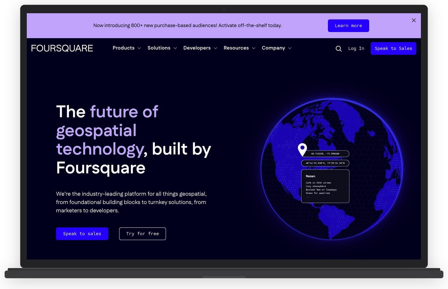
Foursquare evolved from a consumer check-in app into one of the largest independent location data companies. Its Places API provides access to over 100 million POIs across 200+ countries, with rich venue data including categories, ratings, photos, tips, and hours of operation.
Foursquare’s strength is POI depth. Because it has years of user-generated check-in data, its venue information (especially for restaurants, bars, shops, and entertainment venues) is often more detailed and current than what you get from Google.
Key features:
- 100M+ POIs with detailed venue data
- Place search, autocomplete, and details endpoints
- Rich category taxonomy (900+ categories)
- Venue photos, tips, hours, and popularity data
- Snap-to-Place for visit attribution and foot traffic analysis
Pricing: Free tier available for personal/small projects. Custom pricing for commercial use – contact their sales team. Developer sandbox for testing.
Best for: Apps that need deep venue/POI data – restaurant finders, travel apps, real estate platforms, and foot traffic analysis.
13. Azure Maps
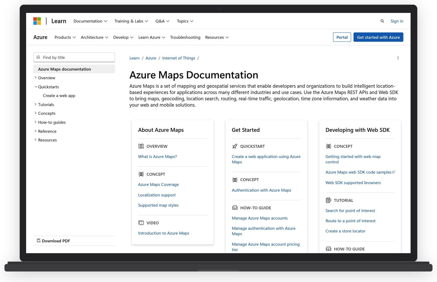
Azure Maps (formerly Bing Maps API) is Microsoft’s location services platform, fully integrated into the Azure cloud ecosystem. It provides geocoding, search, routing, traffic, weather, and spatial analysis APIs.
If your infrastructure already runs on Azure, Azure Maps is the natural choice. It uses the same Azure subscription billing, integrates with Azure Active Directory for authentication, and works seamlessly with other Azure services like IoT Hub and Stream Analytics.
Key features:
- Geocoding, POI search, and address autocomplete
- Route planning with real-time traffic
- Weather services API
- Geofencing and spatial operations
- Native Azure ecosystem integration (IoT Hub, Event Grid, etc.)
Pricing: Free tier available with Azure subscription. Pay-as-you-go pricing based on transaction volume. Competitive with Google for Azure customers who already have committed spend.
Best for: Organizations already invested in the Microsoft/Azure ecosystem who want to consolidate their cloud services.
How to Choose the Right Alternative
With 14 options on the table, picking the right one comes down to your specific needs:
If you want the closest Google replacement: Mapbox or Radar give you the most similar all-in-one experience with maps, Places search, geocoding, and routing in one platform.
If budget is your top priority: OpenStreetMap/Nominatim (free, self-hosted) or LocationIQ (from $49/month) are the most cost-effective. Overture Maps is also free if you can handle bulk data processing.
If you need the largest free tier: HERE offers 250K transactions/month for free. TomTom gives you 50K daily transactions. Both are hard to beat at the free level.
If you need deep venue/POI data: Foursquare has the richest venue database with 100M+ POIs. Overture Maps provides 53M+ POIs as bulk data.
If you are building mobile apps: Radar is built mobile-first with native SDKs, geofencing, and trip tracking. Mapbox also has strong mobile SDKs.
If you work in enterprise/government: ArcGIS (Esri) is the standard in GIS-heavy organizations. HERE is strong for fleet logistics.
If you are on Azure: Azure Maps is the obvious choice for tight integration with your existing Microsoft infrastructure.
If you want one API for everything: Geoapify bundles Places, Geocoding, Routing, and Map Tiles at an affordable price point.
Frequently Asked Questions
Is the Google Places API still free?
Not really. Google discontinued the $200/month free credit in February 2025. The new pricing requires subscription plans starting at roughly $275/month (Essentials) for 100K API calls. The Places API (New) uses field masking so you only pay for fields you request, but there is no longer a meaningful free tier for production use.
What is the best free alternative to Google Places API?
For truly free: OpenStreetMap with Nominatim (self-hosted) and Overture Maps Foundation (bulk data download). For free tiers with hosted APIs: HERE gives you 250,000 transactions/month, TomTom offers 50,000 daily transactions, and Mapbox provides 100,000 requests/month.
Can I migrate from Google Places API to Mapbox easily?
Mapbox is not a drop-in replacement – the API endpoints and response formats differ. However, Mapbox provides migration guides and the concepts (geocoding, place search, autocomplete) map directly. Most developers report the migration taking a few days for a typical integration.
Which Google Places API alternative has the best POI data?
Foursquare has the deepest venue data with 100M+ POIs, rich metadata, and years of user-contributed information. For raw POI volume as downloadable data, Overture Maps Foundation provides 53M+ POIs. Google’s own data is still strong, but these alternatives are competitive for most use cases.
Do I need a different API for geocoding vs. place search?
Not necessarily. Most platforms (Mapbox, HERE, Radar, Geoapify, TomTom) bundle geocoding and place search together. However, specialized services like Geocodio focus exclusively on geocoding and do it exceptionally well. If you only need address-to-coordinate conversion, a specialized geocoder may give you better accuracy and lower costs.
Conclusion
Google’s pricing changes have created a genuine opportunity for alternative location services to capture developer mindshare. The ecosystem is more competitive than ever, with options ranging from free open-data projects to enterprise platforms.
For most developers, the switch away from Google Places API is not just about saving money – it is about avoiding vendor lock-in, getting more predictable pricing, and often gaining features (like geofencing or batch geocoding) that Google charges extra for.
Start by evaluating what you actually need from a Places API. If it is just geocoding, you do not need a full platform. If it is rich venue data, Foursquare might beat Google. If it is an all-in-one platform, Mapbox or Radar are strong choices. Test a few free tiers, and you will likely find that moving off Google is easier than expected.
Featured image: AI-generated illustration.