Districts of Serbia

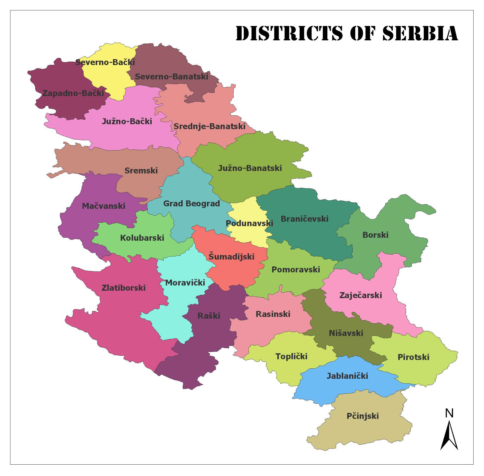
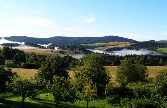
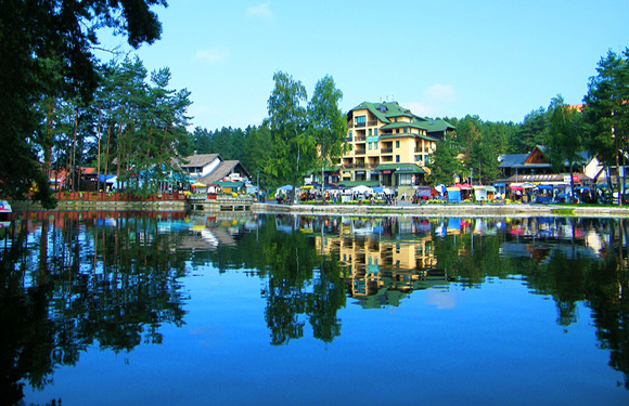
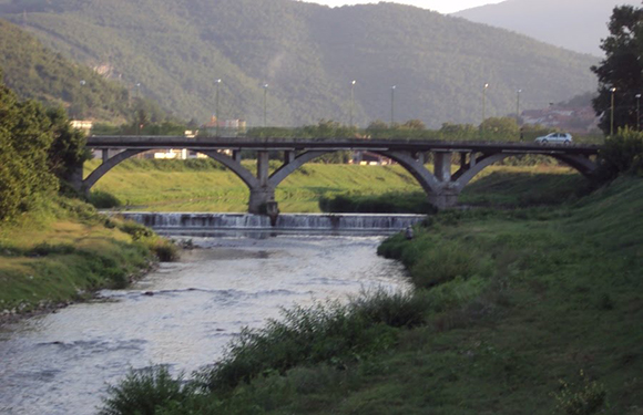
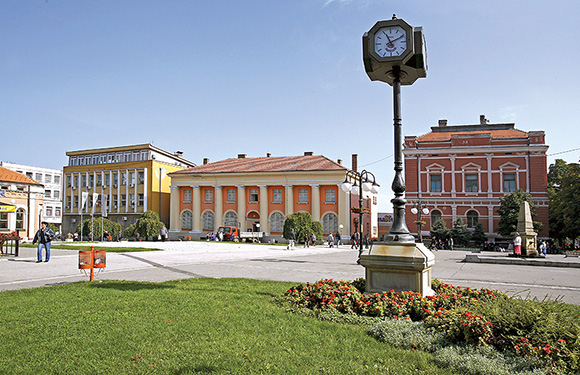
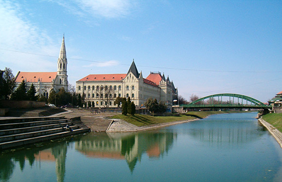
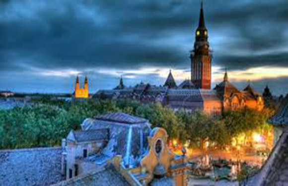
In Serbia, there are a total of 29 (5 districts within the Kosovo borders) district. Districts form the first-level administrative divisions of Serbia.

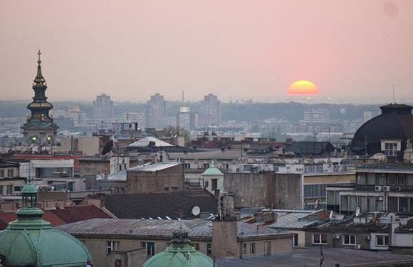
The capital Belgrade has a separate status. The 5 districts in Kosovo are not included in this article.

On the map below, you can see the districts of Serbia except Kosovo:

Districts of Serbia

A map showing the colored districts of Serbia with labels for each district and a north arrow indicator in the lower right corner.
Districts of Serbia

Kolubara

A landscape view of a city with a prominent white church with gray domes near a river, with buildings in the background under a clear sky.
Kolubara

It has a population of 174,228. The surface area is 2,474 square kilometers.

Mačva

A sunset over a calm body of water with reflections of the sun and clouds on the surface, silhouettes of trees on the horizon.
Mačva

It has a population of 297,778. The surface area is 3,268 square kilometers.

Moravica

A river with concrete edges runs through a grassy area with a path, backed by a hill with houses, trees, and a cloudy sunrise/sunset.
Moravica

It has a population of 212,149. The surface area is 3,016 square kilometers.

Pomoravlje

A scenic landscape with rolling hills, patches of forests, and low-lying clouds or mist above the fields under a blue sky with scattered clouds.
Pomoravlje

It has a population of 212,839. The surface area is 2,614 square kilometers.

Rasina

A serene river surrounded by lush green trees under a clear sky.
Rasina

It has a population of 240,463. The surface area is 2,667 square kilometers.

Raška

A panoramic view of a town with multi-story residential buildings in the foreground, surrounded by green hills under a clear blue sky.
Raška 

It has a population of 300,102. The surface area is 3,918 square kilometers.

Šumadija

A picturesque landscape with rolling hills, green fields, and scattered trees under a partly cloudy sky.
Šumadija

It has a population of 290,900. The surface area is 2,387 square kilometers.

Zlatibor

A scenic view of a calm lake reflecting colorful buildings surrounded by trees under a clear blue sky.
Zlatibor

It has a population of 284,729. The surface area is 6,140 square kilometers.

Bor

A scenic view of a calm lake reflecting a building and surrounding trees with mountains in the background under a partly cloudy sky.
Bor

It has a population of 123,848. The surface area is 3,507 square kilometers.

Braničevo

An image of a ruined castle on a hill with green foliage in the foreground and a cloudy sky in the background.
Braničevo

It has a population of 180,480. The surface area is 3,865 square kilometers.

Jablanica

A winding river flows through a valley with brown and green vegetation under a cloudy sky.
Jablanica

It has a population of 215,463. The surface area is 2,769 square kilometers.

Nišava

A winter sunset casts a warm glow over a snowy riverbank, calm river, distant trees and buildings under a clear sky.
Nišava

It has a population of 373,404. The surface area is 2,729 square kilometers.

Pčinja

A scenic view of a lush, green hilly landscape with patches of forests and fields, and small buildings scattered throughout.
Pčinja

It has a population of 158,717. The surface area is 3,520 square kilometers.

Pirot

A picturesque canal scene with sky reflections, autumn trees, a grassy path, and distant people enjoying the outdoors.
Pirot

It has a population of 92,277. The surface area is 2,761 square kilometers.

Podunavlje

A serene river surrounded by lush trees with autumn colors reflecting on the water surface under a clear blue sky.
Podunavlje

It has a population of 198,184. The surface area is 1,248 square kilometers.

Toplica

A stone bridge with multiple arches spans over a river, with trees and hills in the background.
Toplica

It has a population of 90,600. The surface area is 2,231 square kilometers.

Zaječar

A town square with a clock post in the foreground, flowerbeds, and colorful buildings in the background under a clear sky.
Zaječar

It has a population of 118,295. The surface area is 3,623 square kilometers.

Central Banat

Scenic view of a river, green arched bridge, large European buildings, a church with tall spire under a clear blue sky.
Central Banat

It has a population of 186,851. The surface area is 3,256 square kilometers.

North Bačka

An image of a historic cityscape at dusk with illuminated buildings and a prominent church spire against a cloudy sky.
North Bačka

It has a population of 185,552. The surface area is 1,784 square kilometers.

North Banat

A sunset cityscape features buildings, a large sun, pink-orange sky, and historical domes and a spire.
North Banat

It has a population of 146,690. The surface area is 2,329 square kilometers.

South Bačka

A landscape view of rolling hills with bare trees and a grassy foreground, under a hazy sky.
South Bačka

It has a population of 615,371. The surface area is 4,016 square kilometers.

South Banat

A scenic view of rolling green hills with trees and a cloudy sky.
South Banat

It has a population of 291,327. The surface area is 4,245 square kilometers.

Srem

Aerial view of a historic red-roofed tower with a clock, surrounded by green trees and buildings, with a river in the background.
Srem

It has a population of 311,053. The surface area is 3,486 square kilometers.

West Bačka

It has a population of 187,581. The surface area is 2,420 square kilometers.