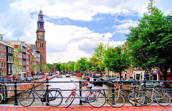
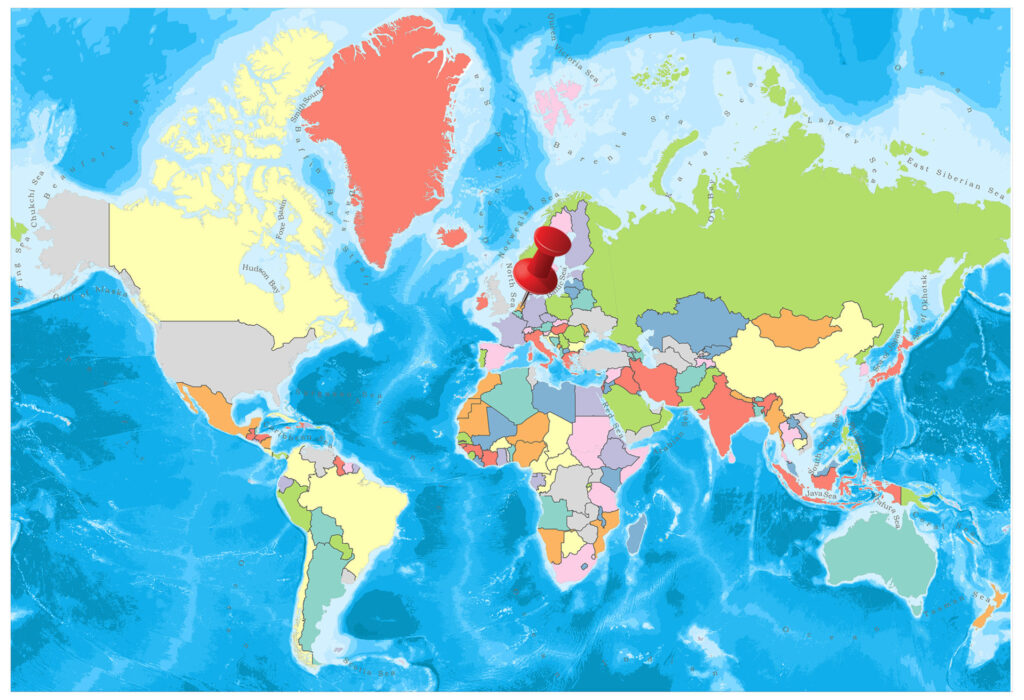
In the Netherlands there are 12 provinces representing the administrative layer between the national government and the local governments. In this article we will give some general information about the provinces of the Netherlands.
Below you will find the map showing the provinces of Netherlands.
Provinces of the Netherlands

Drenthe
The capital is Assen, and the largest city is Emmen. Drenthe has an area of 2,680 square kilometers. The population is 491,792. Furthermore, in Drenthe there are 3 COROP regions used for statistical purposes. These regions are North Drenthe, Southeast Drenthe, and Southwest Drenthe.
Flevoland
The capital city is Lelystad, and the largest city is Almere. It has a 2,412 square kilometers surface area in total. Its population is 407,818.
Friesland
The capital city and the largest city is Leeuwarden. Its surface area is 5,749 square kilometres. It has a 646,874 population in total. The COROP regions in Friesland are North Friesland, South West Friesland and South East Friesland.
Gelderland
The capital is Arnhem, and the largest city is Nijmegen. Its surface area is 5,136 square kilometers. The population is 2,047,901. Moreover, Gelderland is divided into 4 COROP zones. These regions are Veluwe COROP group, South West Gelderland, Achterhoek COROP group and Arnhem & Nijmegen COROP group.
Groningen
The capital and largest city is Groningen. Its surface area is 2,960 square kilometers. Furthermore, its population is 583,581. There are 3 COROP regions in Groningen, East Groningen, Delfzijl and surroundings, and the rest of Groningen.
Limburg
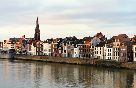
The capital city and the largest city is Maastricht. The surface area is 2,209 square kilometers. The population is 1,117,546. COROP regions in Limburg are, North Limburg COROP group, South Limburg COROP group, and Mid Limburg COROP group.
North Brabant
The capital is Hertogenbosch, and the largest city is Eindhoven. It has an area of 5,082 square kilometers. The population is 2,512,531. Moreover, the four COROP regions in North Brabant are, West North Brabant COPOR group, Mid North Brabant COPOR group, North East North Brabant COPOR group and South East Brabant COPOR group.
North Holland
The capital city is Haarlem, and the largest city is Amsterdam. Its surface area is 4,091 square kilometers. North Holland’s population is 2,809,483.The seven COROP regions in North Holland are, Kop van North Holland COROP group, Zaanstreek COROP group, Greater Amsterdam COROP group, Alkmaar agglomeration COROP group, Het Gooi and Vechtstreek COROP group, IJmond COROP group and Haarlem agglomeration COROP group.
Overijssel
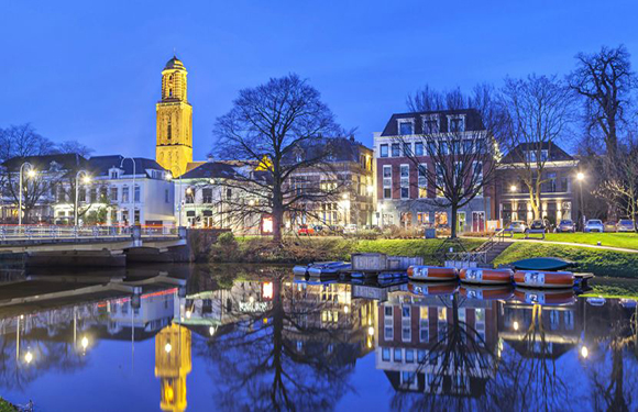
The capital city is Zwolle, and the largest city is Enschede. Overijsel has an area of 3,421 square kilometers. The population is 1,147,687.There are 3 COROP regions in Overijssel. These are North Overijssel COROP group, Twente COROP group and South West Overijssel COROP group.
South Holland
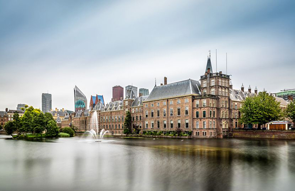
The capital is The Hague, and the largest city is Rotterdam. The surface area is 3,418 square kilometers. South Holland has 3,650,222 population. There are 6 COROP regions in South Holland. These are Leiden & Bollenstreek COROP group, Rijnmond COROP group, The Hague COROP group, Delft & Westland COROP group, East South Holland COROP group, and South West South Holland COROP group.
Utrecht
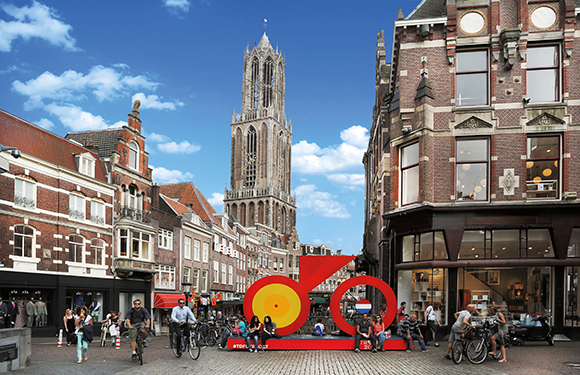
The capital city and the largest city is Utrecht. Its surface area is 1,449 square kilometers. The population that live in Utrecht is 1,284,504.
Zeeland
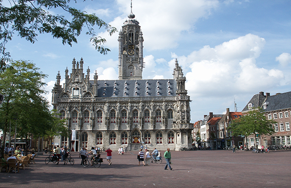
The capital is Middelburg, and Terneuzen is the largest city. Its surface area is 2,933 square kilometers. Furthermore, its population is 381,568.The two COROP regions in Zeeland are Zeelandic Flanders COROP region and Overig Zeeland COROP region.
Facts About the Netherlands
- Population: 17,111,764
- Population Density: 508 per Km2
- Land Area: 33,720 Km ²
The Netherlands is a north-western European country. The Netherlands, which is an offshore country, has territories in the Caribbean, while the northern sea, Belgium and Germany are the neighboring countries of the mainland.
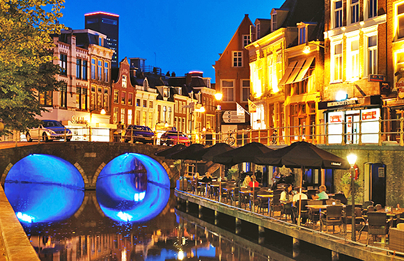
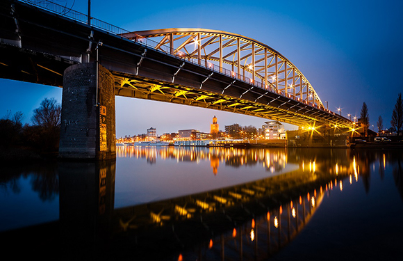
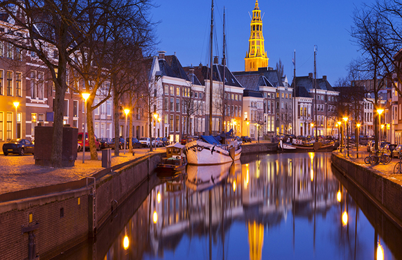
Most of the Dutch mainland land is under 38% of sea level, and there are many bridges and canals in the country, and the country is a canal country at the same time. The Netherlands is an important agricultural country.
Geography
The Netherlands is on the northwestern edge of a large plain covering northern and western regions of Europe (extending from the north of France to the Soviet Union). Geographically there are three regions. The areas covered by the windy sand dunes are the alluvial plains.
In the Netherlands, there are many rivers and canals that divide the land into pieces. The three most important rivers are Rhine, Maas, and Scheldt.
Governance
In the Netherlands, the President is the King. In 1848 the king’s powers were restricted and the system of constitutional monarchy was passed.
The executive is divided into the Government and the Council of Ministers. The government consists of the King, the Prime Minister, the Ministers, and the State Secretaries. Unlike the general parliamentary system, the King is a member of the Government but has no responsibility for the political Parliament and is not on the Council of Ministers. The Council of Ministers, the Prime Minister, the Ministers and the Secretaries of the State.
Climate
Marine climate prevails. The winters are warm and the summers are quite hot. The average annual temperature is 17 in summer and -2 in winter.
Religion
25% of Catholics live in the Netherlands, where the majority of the population is Christian. The Muslim population also lives in the country where 10% Protestant lives. However, nearly 50 percent of the people living in the country do not recognize themselves as members of any religion.
Industry and Tourism
The Netherlands has an advanced economy. It has played a very important role in the European economy for centuries. It has the world’s 17th largest economy in terms of GDP at current prices and ranks 14th in the national income per capita.
The Netherlands is one of the richest markets in the European Union and the world, with about 800 billion dollars in foreign trade and 50,000 dollars in per capita income. In addition, its strategic position in Europe and its highly developed infrastructure make it the hub of Europe’s distribution and logistics, as well as the fact that approximately 46% of exports are re-exports and that transit trade is also at scale, opening up to other European countries and even the rest of the world it is a door.
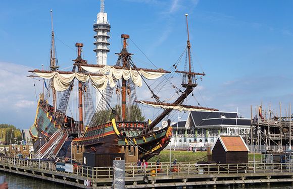
It is a country full of surprises that welcomes 10 million tourists throughout the year. There are more than 6000 magnificent buildings and more than 50 museums.
Art
In the 17th century, the Netherlands had a great economic strength with the success it achieved in trade. In this period called the “Golden Age”, the country has the highest literacy rate and art production in Europe: 70 thousand paintings are produced annually and the tables have become an instrument of exchange for themselves. Unlike other western countries where art is still largely under the influence of the aristocracy and produced for the aristocracy, art in the Netherlands is now produced for the new middle-class trader; the patronage system is replaced by the commercial “art market”, and the artisans take their place.
Sports
The most popular sports throughout the country are Soccer and grass hockey. Bicycles are among the most popular sports.