The African country of Gambia consists of five regions and one capital city, the Greater Banjul district. The capital region is divided into two municipalities, the municipality of Banjul and the municipality of Kanifing. The regions which are formed by taking into consideration the administrative and geographical conditions are also divided into 35 districts. The Gambia, one of the smallest countries in the world, has 1,870 settlements in general.
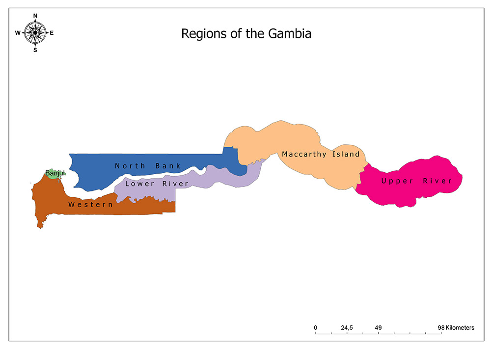
Six Regions of the Gambia
The Gambia is divided into six regions. At the same time, these regions are called “division” since 2007. These regions are Banjul, Western, North Bank, Lower River, Central River (Maccarthy Island) and Upper River.
Western/West Coast Division
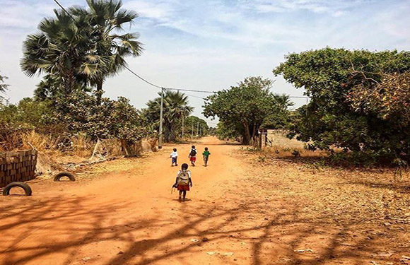
The West Coast Region is one of the six sub-regions of the African country, Gambia. The region is located in the western part of the country, west of the Atlantic Ocean, north of the Big Banjul Region and Lower River Region and Senegal is located in the south. The region itself is divided into nine districts. These districts are Foni Bintang-Karenai, Foni Bondali, Foni Brefet, Foni Jarrol, Foni Kansala, Kombo Central, East, and Kombo North / Saint Mary. The area is 1,764 square kilometers and it has a population of 699,704 according to 2013 data.
North Bank
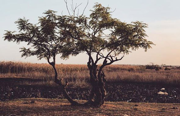
North Bank is one of the six existing regions of Gambia. The region is located in the northern part of the country. The Atlantic is in the west, Lower River region in the south, and Senegal in the north. The region itself is divided into six districts. These districts are Central Baddibu, Jokadu, Lower Baddibu, Lower Niumi, Upper Baddibu, and Upper Niumi. The area has a surface area of 2,256 square kilometers and has a population of 221,054 according to 2013 data.
Lower River

The Lower River is one of the six regions of the Gambia. The region is located in the western part of the country. Its neighbors are the West Coast region in the southwest, the North Shore Region where the Gambia river forms a natural border in the north, the Central River Region in the northeast and Senegal in the south. The region itself is divided into six districts. These districts are Jarra Central, Jarra East, Jarra West, Kiang Central, Kiang East, and Kiang West. The area has a surface area of 1,618 square kilometers and has a population of 82,361 according to 2013 data.
Central River/Maccarthy Island
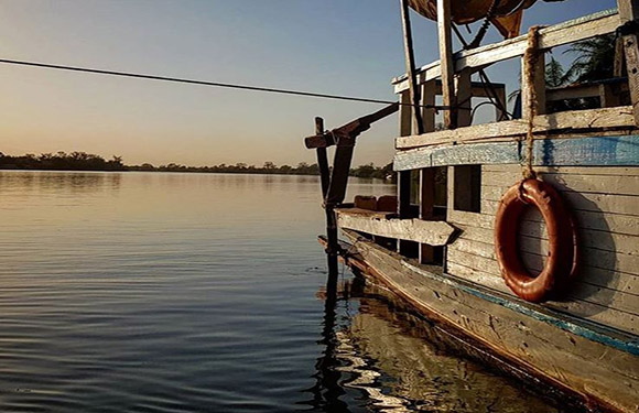
Central River is one of the six sub-regions of the African country, Gambia. The region is located in the middle part of the country. To the west are the North Shore and Lower River regions, the Upper River area to the east and Senegal to the north and the south. The region is divided into ten districts. These districts are Fulladu West, Janjanbureh, Lower Saloum, Niamina Dankunku, Niamina East, Niamina Wes, t Niani, Nianija, and Sami. The surface area of the region is 2,894 square kilometers and it has a population of 226,018 according to 2013 data.
Upper River
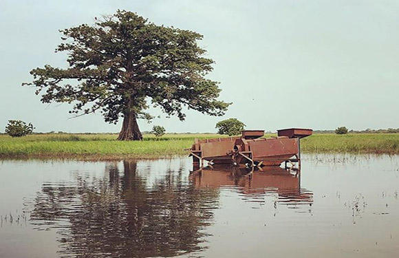
Upper River is one of the six sub-regions of the African country Gambia. The region is located in the easternmost part of the country, and in the west, there is the Central River. The region itself is divided into four districts. These districts are Fulladu East, Kantora, Sandu and Wuli. The area has a surface area of 2,070 square kilometers and has a population of 202,546 according to 2013 data.
Banjul/Greater Banjul Area
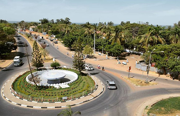
The Greater Banjul Region is one of the six existing six regions of the Gambia, created by the two municipalities. The region is located in the western part of the country where the Atlantic Ocean meets the Gambia river. To the south of the region is the West Coast region. The region itself is divided into two municipalities. These municipalities are the municipality of Banjul and the municipality of Kanifing. The region is the second most populated region in the Gambia after the West Coast region. While the region does not cover almost 1% of all the Gambian territory with its 88 square kilometers, most of the population of Gambia lives in this region. Serekunda is the most populous residential area in the country. According to 2012 estimates, the population of the region is 460,906.
The Gambia Facts
- Population: 2,204,742
- Population Density: 220 per Km2
- Land Area: 10,120 Km2
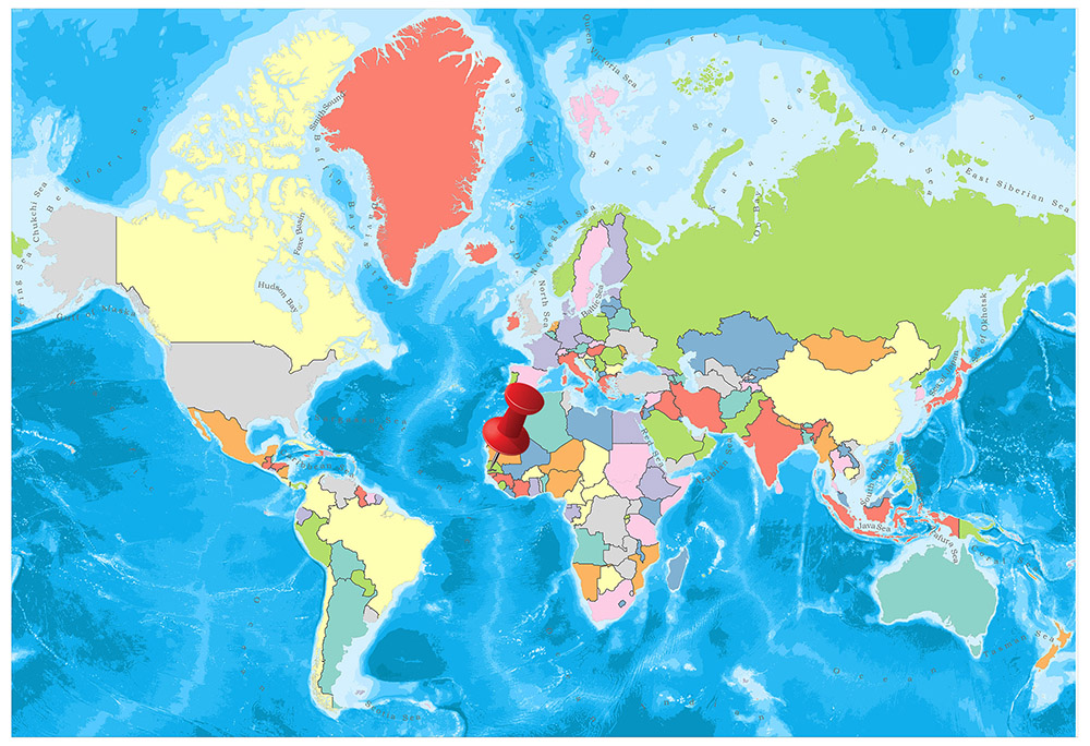
In West Africa, the only land border of the Gambia on the Atlantic coast is Senegal. The Gambia River passes through the middle of the country and flows into the Atlantic Ocean. It is one of the smallest countries in the African continent.
Geography
The Gambia is situated on the west coast of the African continent, on the Atlantic Ocean coast. With a surface area of 11.295 km², the country is the smallest state in the mainland of the African continent. Except for the Atlantic Ocean coast, the country is surrounded by Senegal, which is twenty times larger than its surface area. The country has an interesting borderline. The real reason for this border is that, when the British came to occupy the area, the boundary line was determined according to the last distance of the canyons from the ships in the areas where the Gambia River could move by ship.
Governance
The country is governed by the republican regime. The people who lead the country as president are elected by the people with a term of five years. Since 1970, there has been no prime minister in the country. Although there is a multi-party political system in the country, Alliance for Patriotic Reorientation and Construction is head of the country administration. In the Gambia where the opposition parties had virtually no control, in June 2005 all the opposition parties gathered under the umbrella of the National Alliance for Democracy and Development (NADD) party. The military coups that took place in 1981 and 1994 were overcome without any loss of life. Yahya Jammeh took over the management as the head of the coup in 1994 and remained in office until 2017.
Climate
Tropical climate prevails. Between June and November, the weather is hot and rainy and between November and May, it is cool and dry. It has a warm and humid climate. Temperature values range from 16 degrees to 43 degrees.
Religion
90% of the country’s population lives according to the Islamic faith. The proportion of the Christian religion belongs to 9%, while the remaining 1% believe in local African religions. Interreligious tolerance is at the highest level. Muslim communities throughout the country are led by the Imam, while the Christian community can perform collective worship under the leadership of the priest. Religions that have no impact on the political life of the country do not cause any problems among the society in many African countries.
Industry and Tourism
The Gambia is a country with a little mineral and natural resources and limited agricultural facilities. 75 percent of the country’s population is living from fields and cattle breeding. Small-scale industrial enterprises deal with the production of peanuts, fish, and leather. The main agricultural products are peanut, millet, rice, corn, sesame, cassava, palm, cattle, goat, sheep, forest and forestry products.
Peanut and peanut products, fish, cotton products and palm products are of great importance in their exports. The largest export partners are India, Kenya, the United Kingdom, and Indonesia. Foodstuffs, industrial goods, fuel, machinery, and vehicles are the most important import products. The largest import partners are China, Senegal, Ivory Coast, Brazil, USA, UK, and the Netherlands.