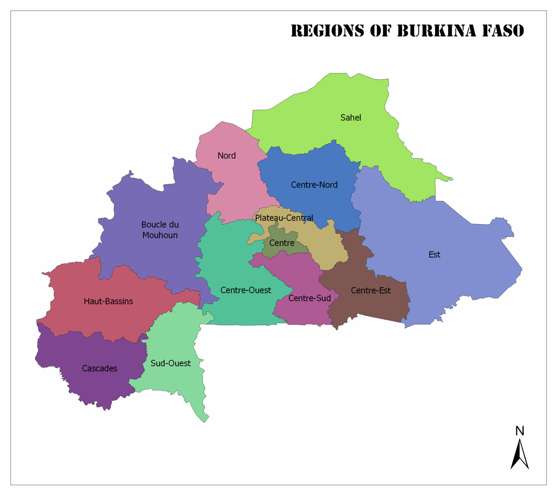
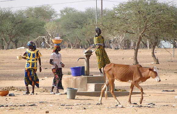
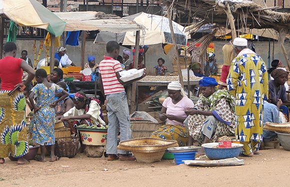
Burkina Faso has a total of 13 regions. In this article, we will get some general information about Burkina Faso’s districts, such as population and area. You can see the Regions of Burkina Faso on the map below.
Regions of Burkina Faso
Boucle du Mouhoun
The population of 2011 is 1,631,321. It also has an area of 34,333 square kilometers. The capital of the region is Dédougou.
Cascades
The population of 2011 is 637,279. It also has an area of 18,424 square kilometers. The capital of the region is Banfora.
Centre
The population for 2011 is 2,136,581. It also has an area of 2,869 square kilometers. The capital of the region is Ouagadougou.
Centre-Est
The population of 2011 is 1,302,449. It also has an area of 14,710 square kilometers. The capital of the region is Tenkodogo.
Centre-Nord
The population of 2011 is 1,375,380. It also has an area of 19,677 square kilometers. The capital of the region is Kaya.
Centre-Ouest
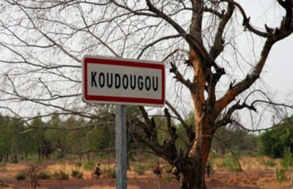
The population of 2011 is 1,348,784. It also has an area of 21,752 square kilometers. The capital of the region is Koudougou.
Centre-Sud
The population of 2011 is 722,631. It also has an area of 11,457 square kilometers. The capital of the region is the Manga.
Est
The population of 2011 is 1,416,229. It also has an area of 46,694 square kilometers. The capital of the region is Fada N’gourma.
Hauts-Bassins
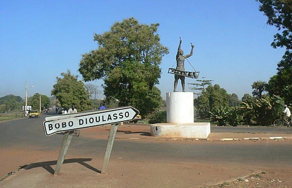
The population of 2011 is 1,469,604. It also has an area of 25,343 square kilometers. The capital of the region is Bobo Dioulasso.
Nord
The population of 2011 is 1,185,604. It also has an area of 16,414 square kilometers. The capital of the region is Ouahigouya.
Plateau-Central
The population of 2011 is 696,372. It also has an area of 8,545 square kilometers. The capital of the region is Ziniaré.
Sahel
The population of 2011 is 968,442. It also has an area of 35,360 square kilometers. The capital of the region is Dori.
Sud-Ouest
The population of 2011 is 620,767. It also has an area of 16,153 square kilometers. The capital of the region is Gaoua.


