The United States has more than 400 units in the National Park System plus thousands of state parks and public wildernesses, and the ten most-visited big-name parks account for most of the Instagram noise and most of the summer crowds. This guide is about the rest of them, the parks and coastlines and monuments and wildernesses that stay uncrowded through July and August because they never got put on that top-ten list.
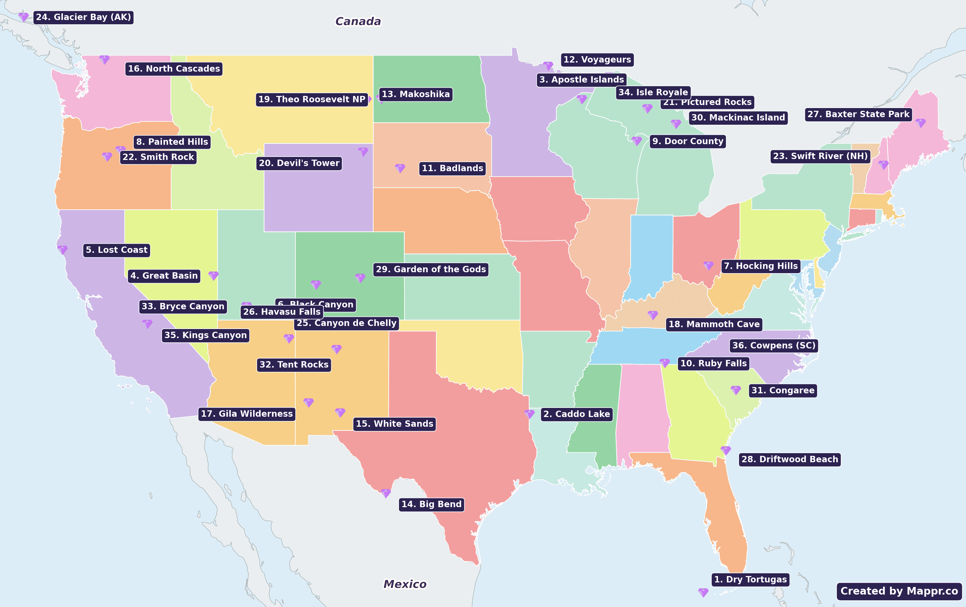
Below are 33 of them, curated for summer 2026. Every spot on the list gets a locator map, an airport suggestion, a link to current lodging availability, and enough context to plan the trip. Where an entry might still require a permit or a reservation, we say so.
The National Park Service headed into summer 2026 with two big changes. Yosemite killed its timed-entry reservation system in February 2026, following an Interior Department directive to keep every park “open and accessible.” And roughly $854 million was cut from park project spending outside Washington DC in fiscal year 2026, with the Pacific West region absorbing the biggest hit. The predictable result: Yosemite, Rocky Mountain, Arches and Zion have been noticeably more crowded, more understaffed and less well-managed than in any recent summer.
That’s what makes a hidden-gems list worth reading this year. Below are 33 US parks, monuments, wildernesses and off-map coastlines that don’t require a reservation, don’t rank in the Instagram top-ten, and stay noticeably quieter through July and August. This year’s edition keeps the postcard-famous small parks with candid crowd notes, and flags the ones our editors have verified are still uncrowded.
Worth doing this year: 2026 is also the US semi-quincentennial (250 years since July 4, 1776), which has driven a surge in domestic-history travel to the East Coast Revolutionary sites. That has crowded a different set of destinations while leaving many of the wilderness places on this list quieter than usual. The gems below are what the Park Service, state tourism boards and local outfitters are, in practice, redirecting travelers toward.
The United States has more than a dozen major hub airports; the ones below cover the deep-cut destinations on this list best. Which one you fly into depends on which region you’re heading to.
- Denver International (DEN) is the central-US hub, closest to the Mountain West cluster (Black Canyon, Devil’s Tower, Theodore Roosevelt, Badlands, Makoshika).
- New York JFK (JFK): East Coast (Baxter State Park, Swift River, Mackinac Island transfers).
- Atlanta Hartsfield-Jackson (ATL): the Southeast gateway (Dry Tortugas, Ruby Falls, Congaree, Driftwood Beach on Jekyll Island, Mammoth Cave).
- Chicago O’Hare (ORD): the Great Lakes hub (Apostle Islands, Door County, Voyageurs, Pictured Rocks, Hocking Hills).
- Los Angeles (LAX): California and the Southwest (Lost Coast, Great Basin, Havasu Falls, Canyon de Chelly, Bryce Canyon, White Sands, Tent Rocks).
- Seattle-Tacoma (SEA): Pacific Northwest and Alaska (North Cascades, Painted Hills, Smith Rock, Glacier Bay).

1. Dry Tortugas National Park, Florida
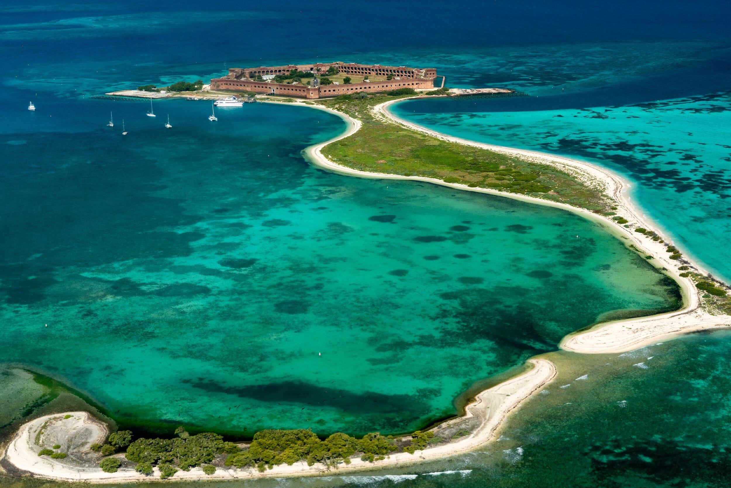
Dry Tortugas National Park invites adventure seekers and history enthusiasts to uncover its secluded beauty and fascinating past. This park is renowned for its crystal-clear waters, vibrant coral reefs, and the historic Fort Jefferson.
Visitors can indulge in snorkeling among shipwrecks, kayaking in serene waters, or exploring the massive fort. The park’s isolation ensures a peaceful retreat, offering a rare chance to disconnect and immerse in nature’s unspoiled splendor.
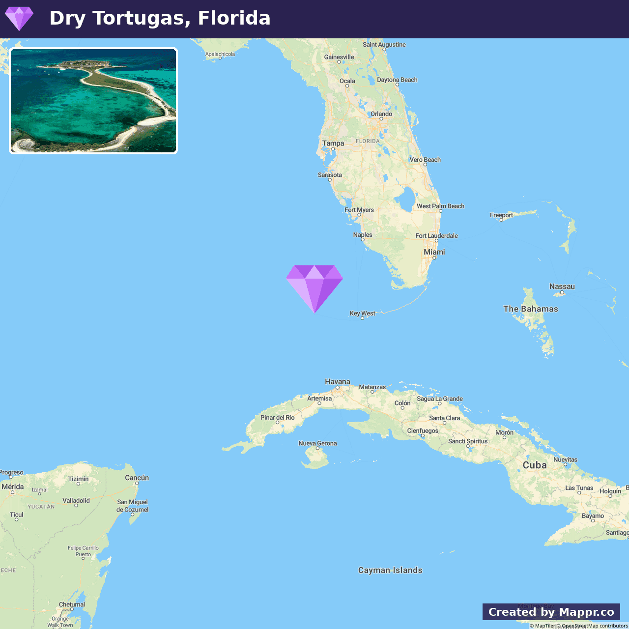
- ✈️ How to Get There: Reachable from Key West, the journey to Dry Tortugas can be a thrilling seaplane adventure or a serene ferry ride, presenting an exciting start to the remote escapade.
- 🏨 Where to Stay: Check recommended places to stay in Dry Tortugas National Park.
2. Caddo Lake, Texas
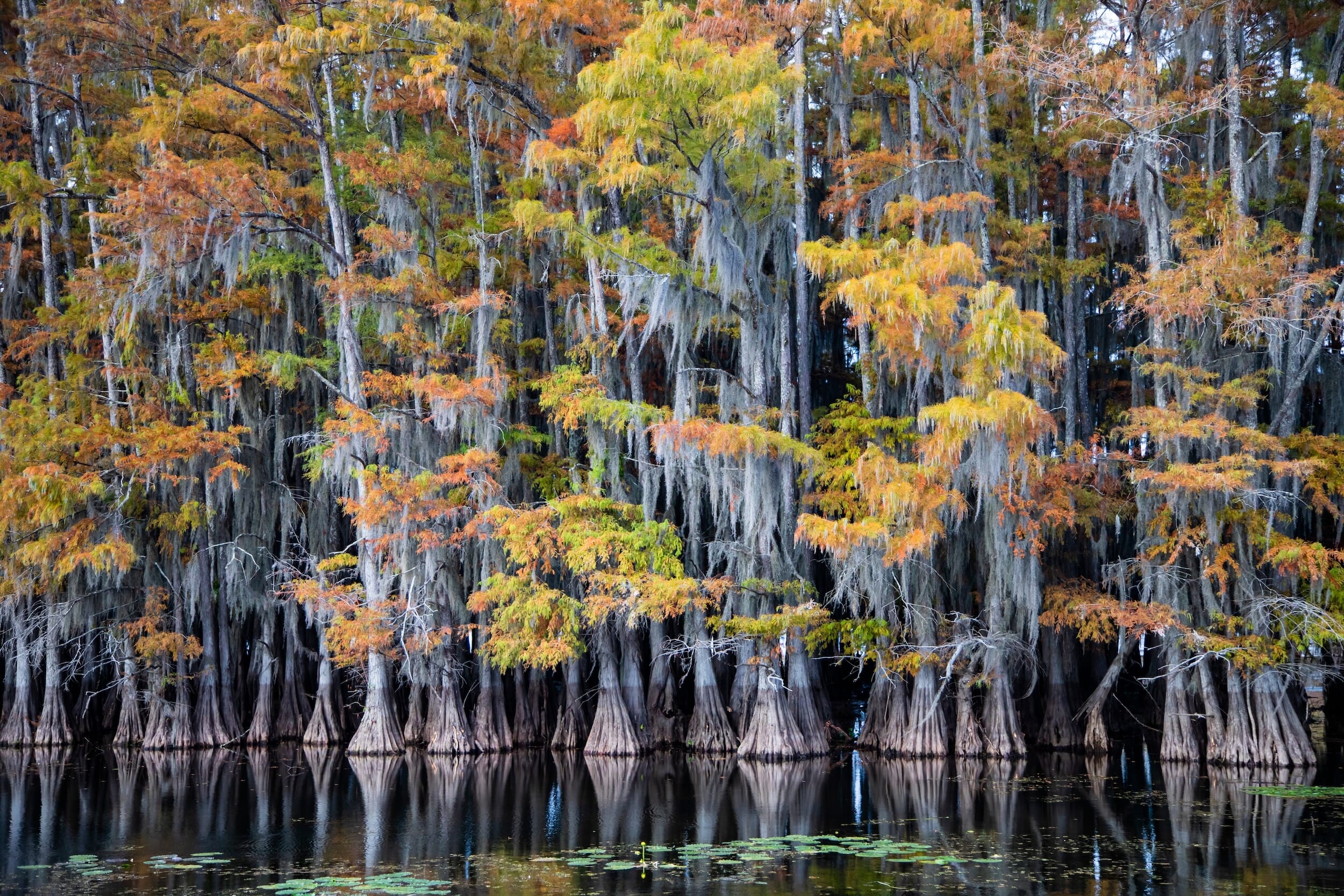
Caddo Lake enchants visitors with its mysterious cypress swamps and labyrinthine waterways. This natural gem, steeped in legends and lore, boasts an ethereal beauty with its Spanish moss-draped trees and tranquil waters, creating a setting that seems straight out of a fairy tale.
Ideal for paddling adventures, photography, and wildlife observation, Caddo Lake is a sanctuary for those seeking solace and an intimate connection with nature. The area teems with biodiversity, hosting a variety of bird species, making it a paradise for birdwatchers and nature enthusiasts.
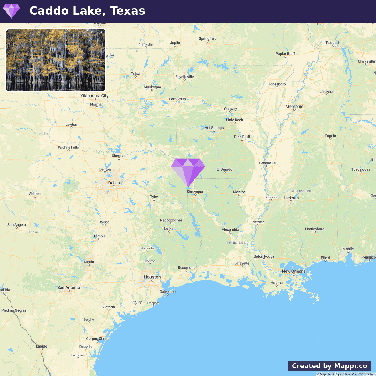
- ✈️ How to Get There: Caddo Lake is easily accessible by car from Shreveport, Louisiana, or Marshall, Texas. It is a convenient yet secluded getaway.
- 🏨 Where to Stay: Check recommended places to stay in Caddo Lake.
3. Apostle Islands National Lakeshore, Wisconsin
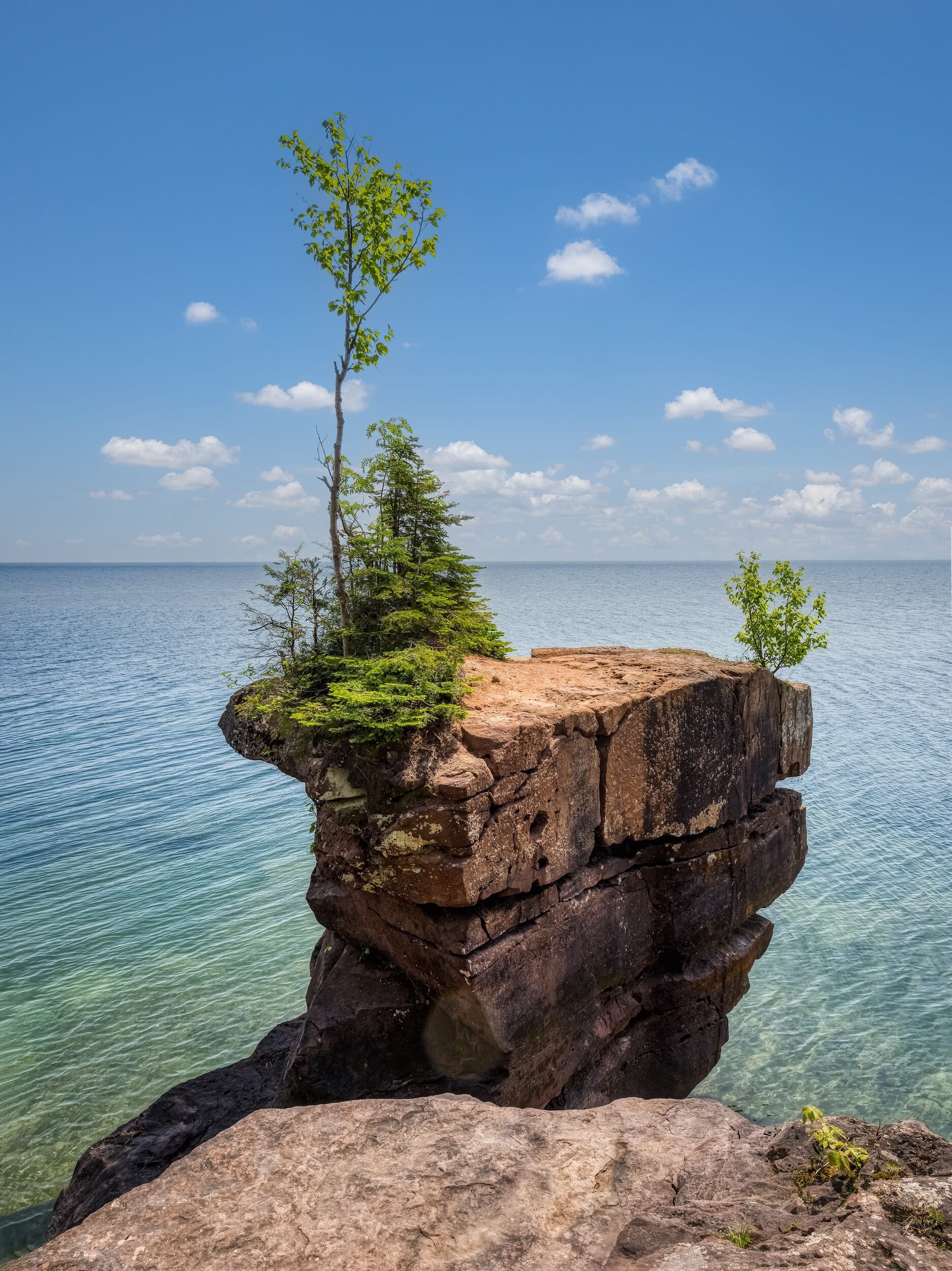
Apostle Islands National Lakeshore is a cluster of pristine islands renowned for their natural beauty and historical significance. The area is a treasure trove of lighthouses, sea caves, and pristine beaches, beckoning explorers to delve into its untouched wilderness.
Summer transforms the islands into a vibrant paradise, perfect for kayaking through the mesmerizing sea caves, hiking scenic trails, or simply relaxing on secluded beaches.
The lake’s cooler climate and spectacular views make the Apostle Islands an idyllic summer destination for those looking to blend adventure with tranquility.
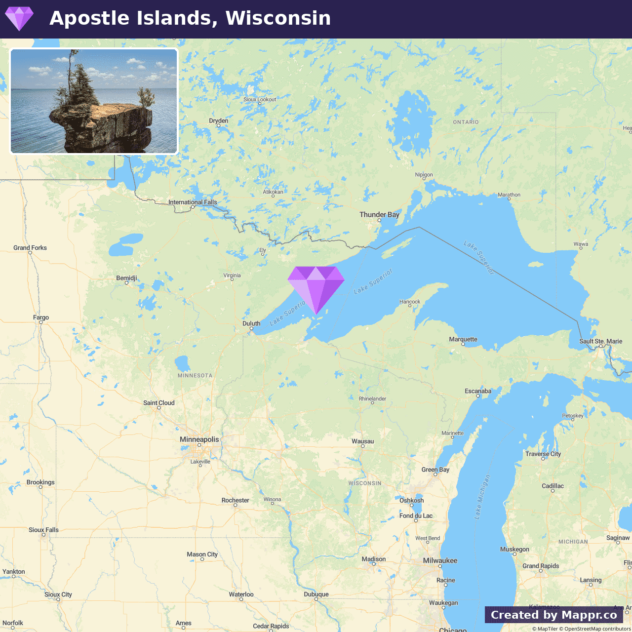
- ✈️ How to Get There: Accessible from the mainland at Bayfield, Wisconsin, the Apostle Islands are a short ferry ride or private boat trip away, offering a gateway to this secluded natural wonderland.
- 🏨 Where to Stay: Check recommended places to stay in Apostle Islands National Lakeshore.
4. Great Basin National Park, Nevada
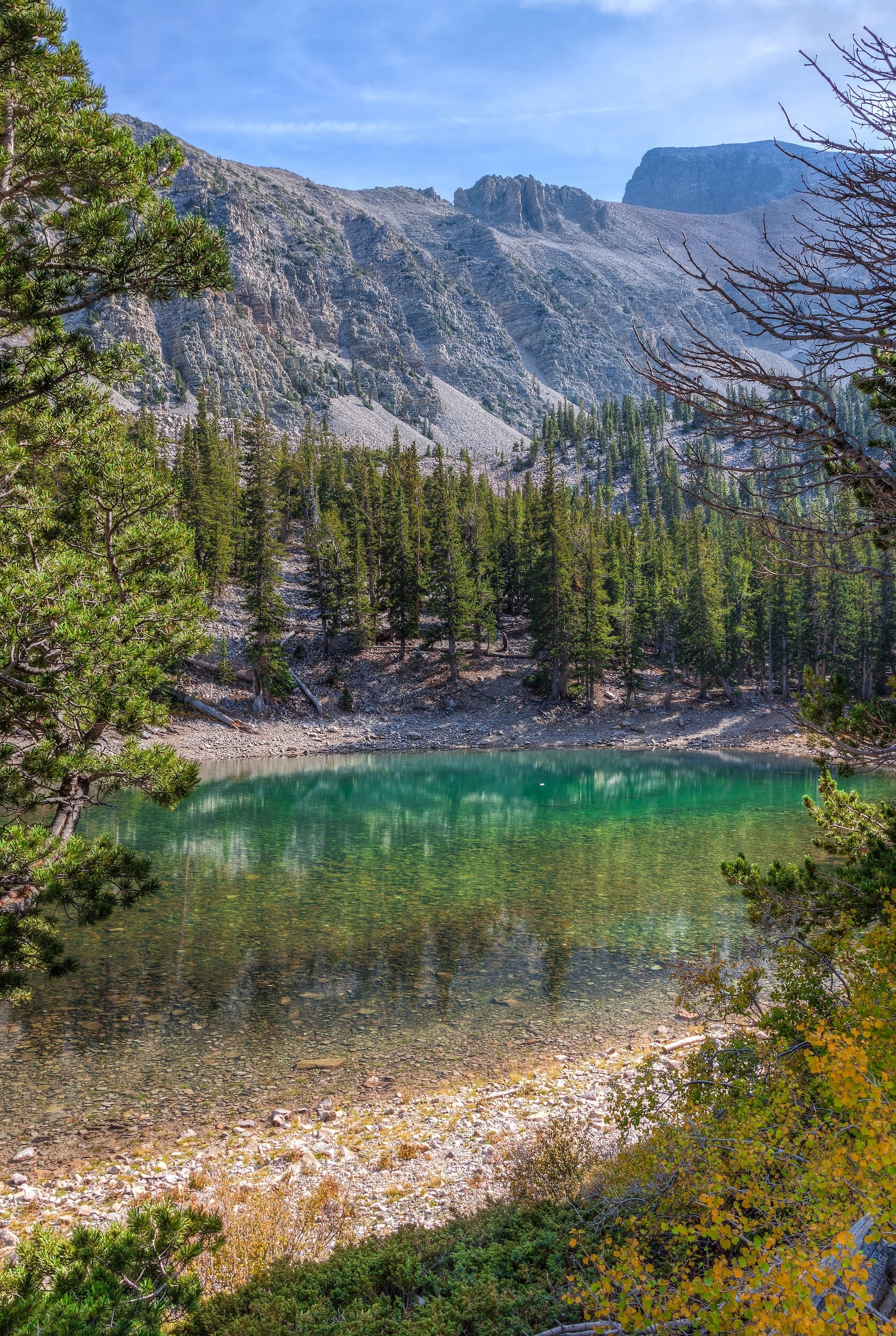
Great Basin National Park stands as a testament to the diverse beauty of the American wilderness. This lesser-known national park is a mosaic of desolate deserts, ancient bristlecone pine groves, and the majestic Wheeler Peak.
Visitors are invited to explore the Lehman Caves, a marvel of underground formations, or hike challenging trails leading to breathtaking vistas and serene alpine lakes.
Stargazers will find a sanctuary here, as Great Basin is one of the darkest spots in the country, offering unparalleled views of the night sky.
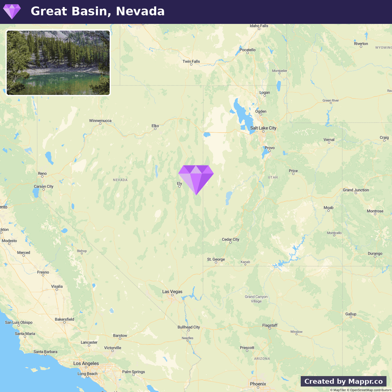
- ✈️ How to Get There: Great Basin National Park is most directly accessed from Ely, Nevada, with the scenic drive offering a glimpse into the state’s rugged beauty. The closest major airport is in Salt Lake City, Utah.
- 🏨 Where to Stay: Check recommended places to stay in Great Basin National Park.
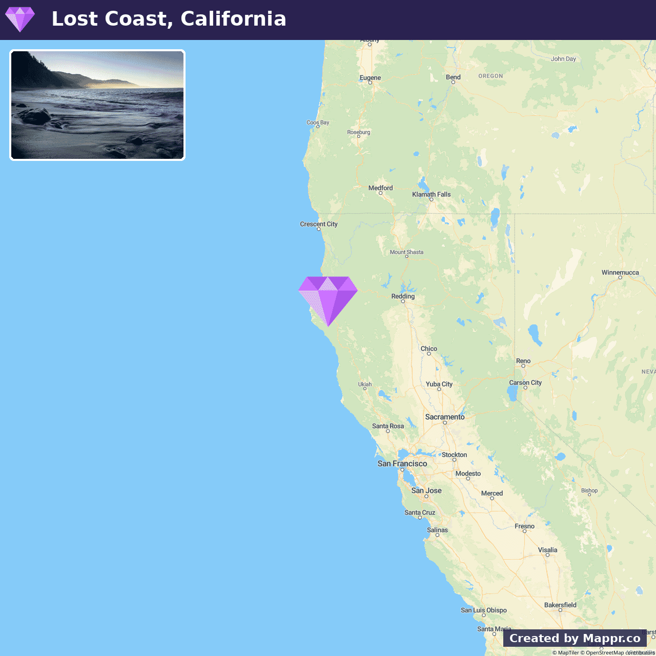
5. Lost Coast, California
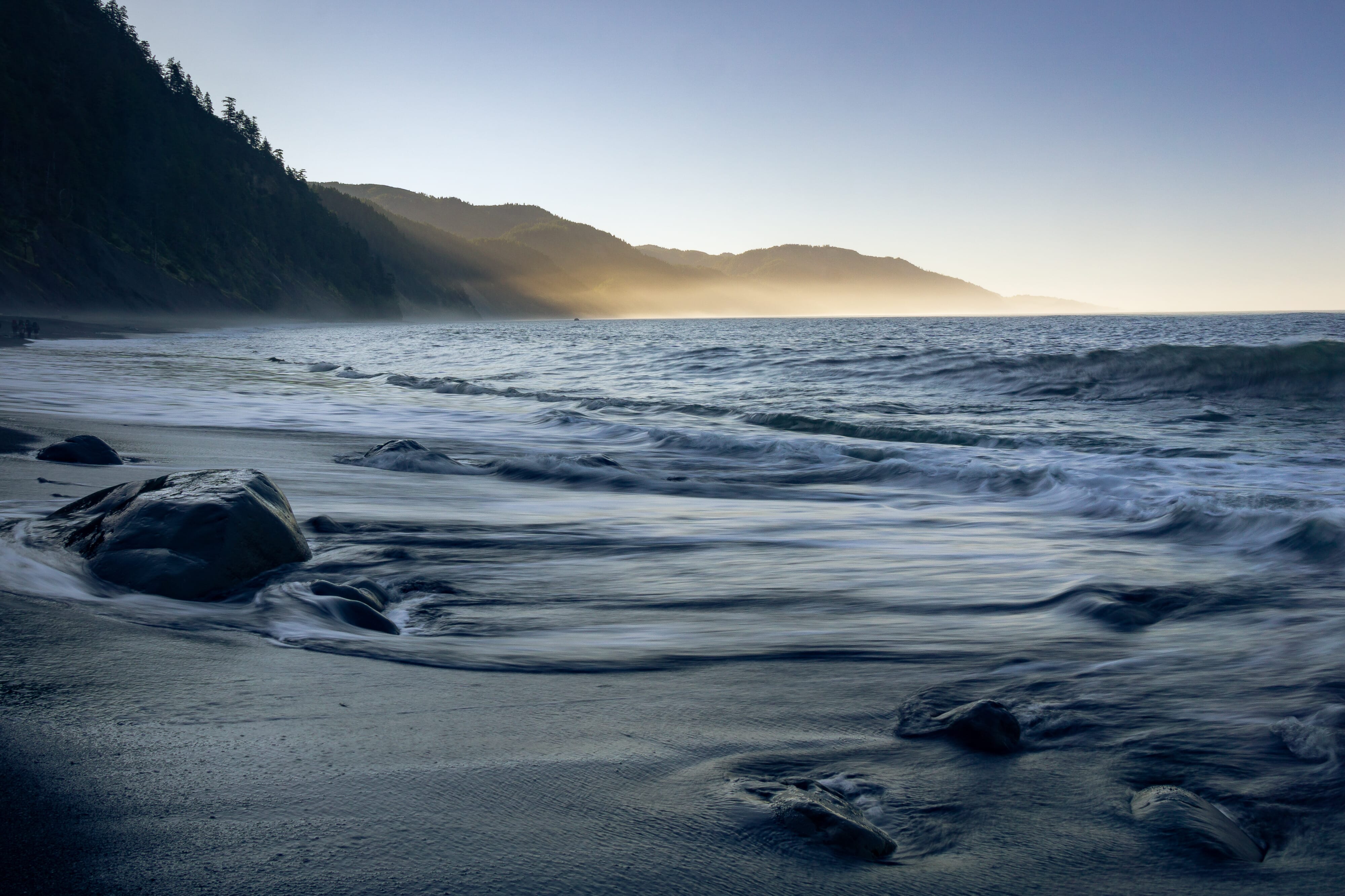
The Lost Coast of California is a raw and untouched stretch of shoreline where the rugged Pacific meets towering redwoods and misty cliffs.
During the summer months, the Lost Coast unveils its serene beauty. Mild weather is perfect for backpacking along the iconic Lost Coast Trail or exploring hidden beaches and tide pools.
The challenge of accessing this secluded paradise only adds to its allure, ensuring the preservation of its pristine landscapes.
- ✈️ How to Get There: The journey to the Lost Coast involves a scenic drive through Northern California’s redwood forests. The closest major access points are Eureka or Fort Bragg.
- 🏨 Where to Stay: Check recommended places to stay in Lost Coast.
6. Black Canyon of the Gunnison National Park
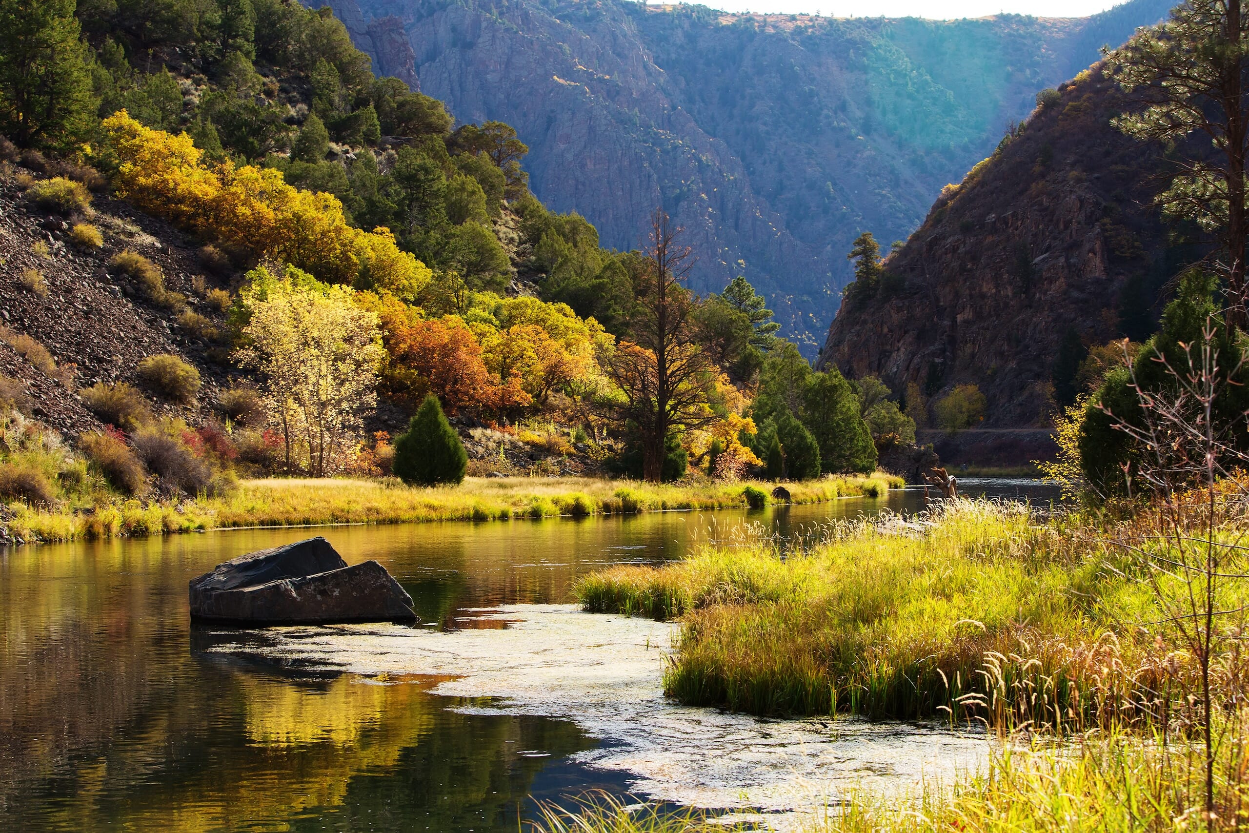
Black Canyon of the Gunnison National Park is defined by its steep, imposing cliffs and the Gunnison River that snakes through the deep gorge, creating a spectacular visual contrast.
The park’s challenging terrain is a draw for experienced hikers and rock climbers seeking to test their limits against the sheer vertical walls.
The park’s remote location ensures a peaceful visit, with the sounds of nature prevailing over human noise. This hidden gem is a monument to the raw power of natural forces and a haven for those seeking adventure in its purest form.
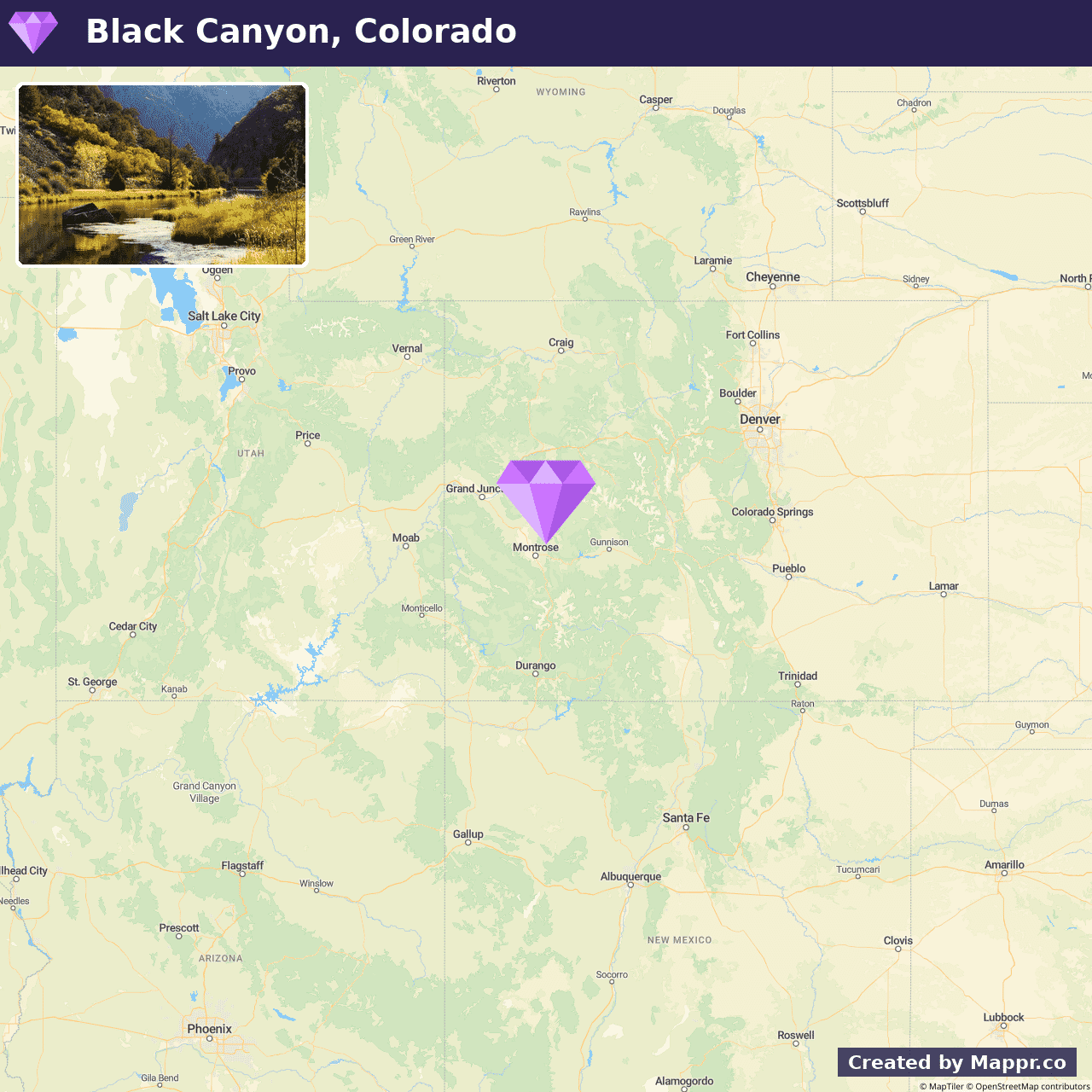
- ✈️ How to Get There: The most convenient access is from Montrose, Colorado. A short drive leads to the park’s entrance, making it an easy addition to any Colorado adventure itinerary.
- 🏨 Where to Stay: Check recommended places to stay in Black Canyon of the Gunnison National Park.
7. Hocking Hills State Park, Ohio
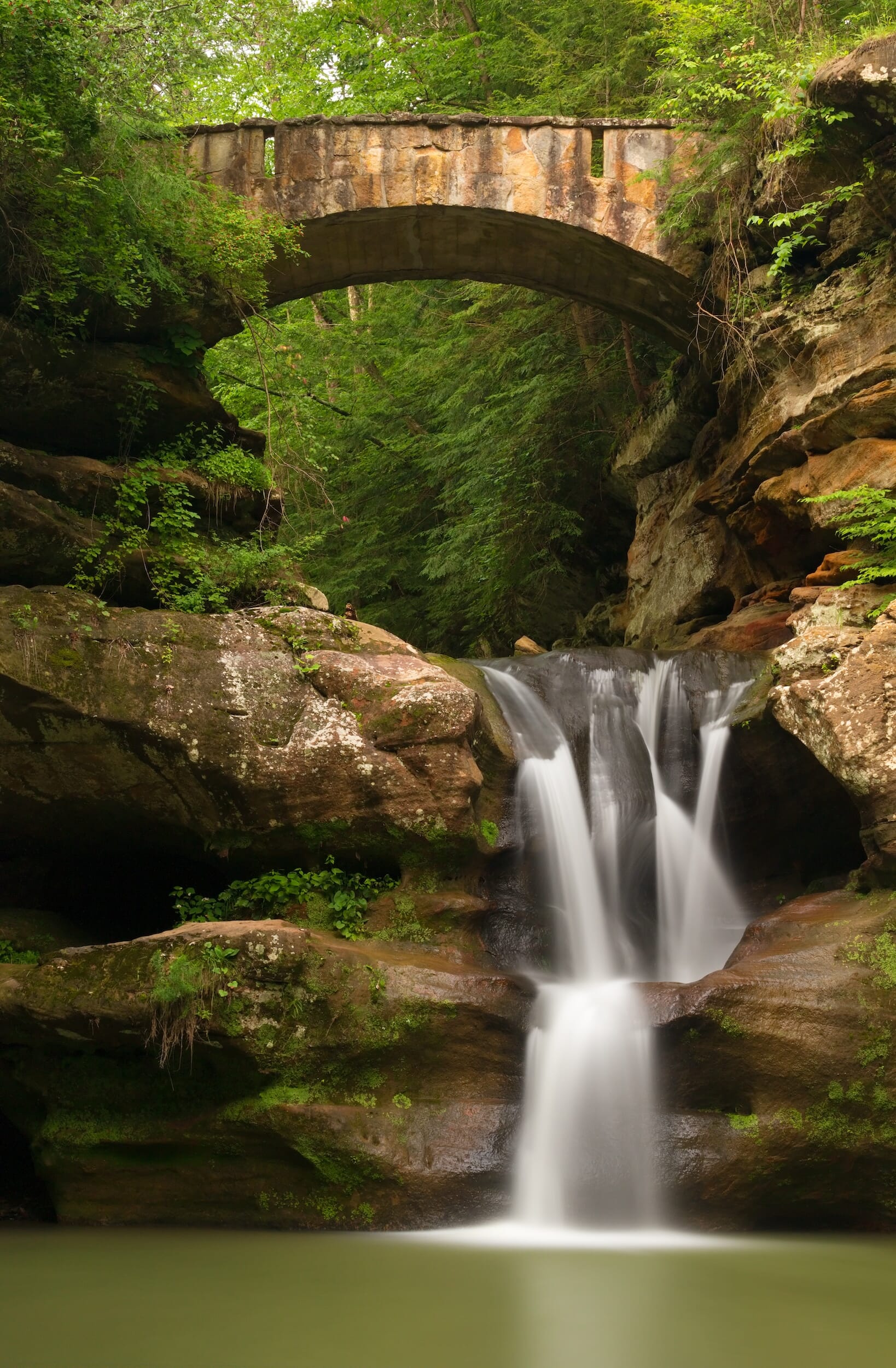
Hocking Hills State Park in Ohio is a haven of natural wonders, with its deep gorges, towering cliffs, and cascading waterfalls. This park serves as a sanctuary for those seeking to reconnect with nature, offering myriad trails that lead adventurers through lush forests.
Each trail reveals a unique aspect of the park’s diverse ecosystem, making it a perfect destination for hiking, photography, and wildlife observation.
The dense canopy provides a relaxed, shaded environment for exploration and relaxation. Hocking Hills is not just a summer retreat but a year-round destination, with each season painting the park in new colors and textures.
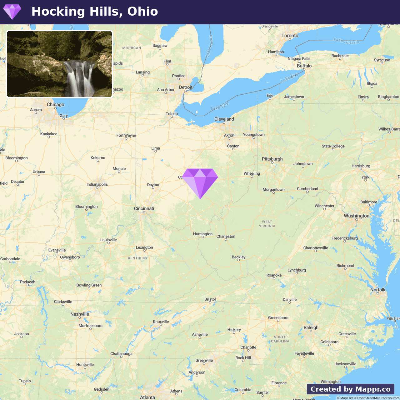
- ✈️ How to Get There: Located southeast of Columbus, Ohio, Hocking Hills is easily reachable by car, making it an accessible retreat from urban life.
- 🏨 Where to Stay: Check recommended places to stay in Hocking Hills State Park.
8. Painted Hills, Oregon
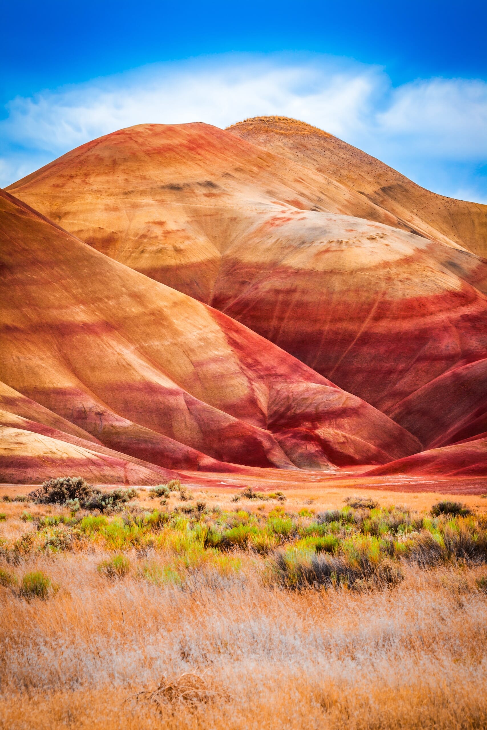
The Painted Hills is a geological marvel that captivates visitors with its vibrant, layered earth tones that seem to shift and change with the sun’s movement. This natural canvas, with its red, gold, black, and white hues, tells a story millions of years old.
The area offers a tranquil setting for leisurely walks and photography, with several short trails providing up-close views of the colorful formations.
The Painted Hills are a testament to nature’s artistry, making it a must-visit for those intrigued by geology and the sheer beauty of natural landscapes.
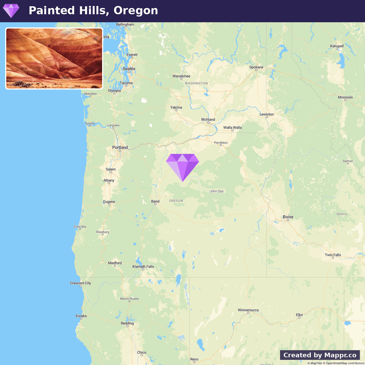
- ✈️ How to Get There: The Painted Hills are situated in central Oregon and can be reached by a scenic drive through the state’s diverse landscapes, adding to the overall experience of the visit.
- 🏨 Where to Stay: Check recommended places to stay in Painted Hills.
9. Door County, Wisconsin
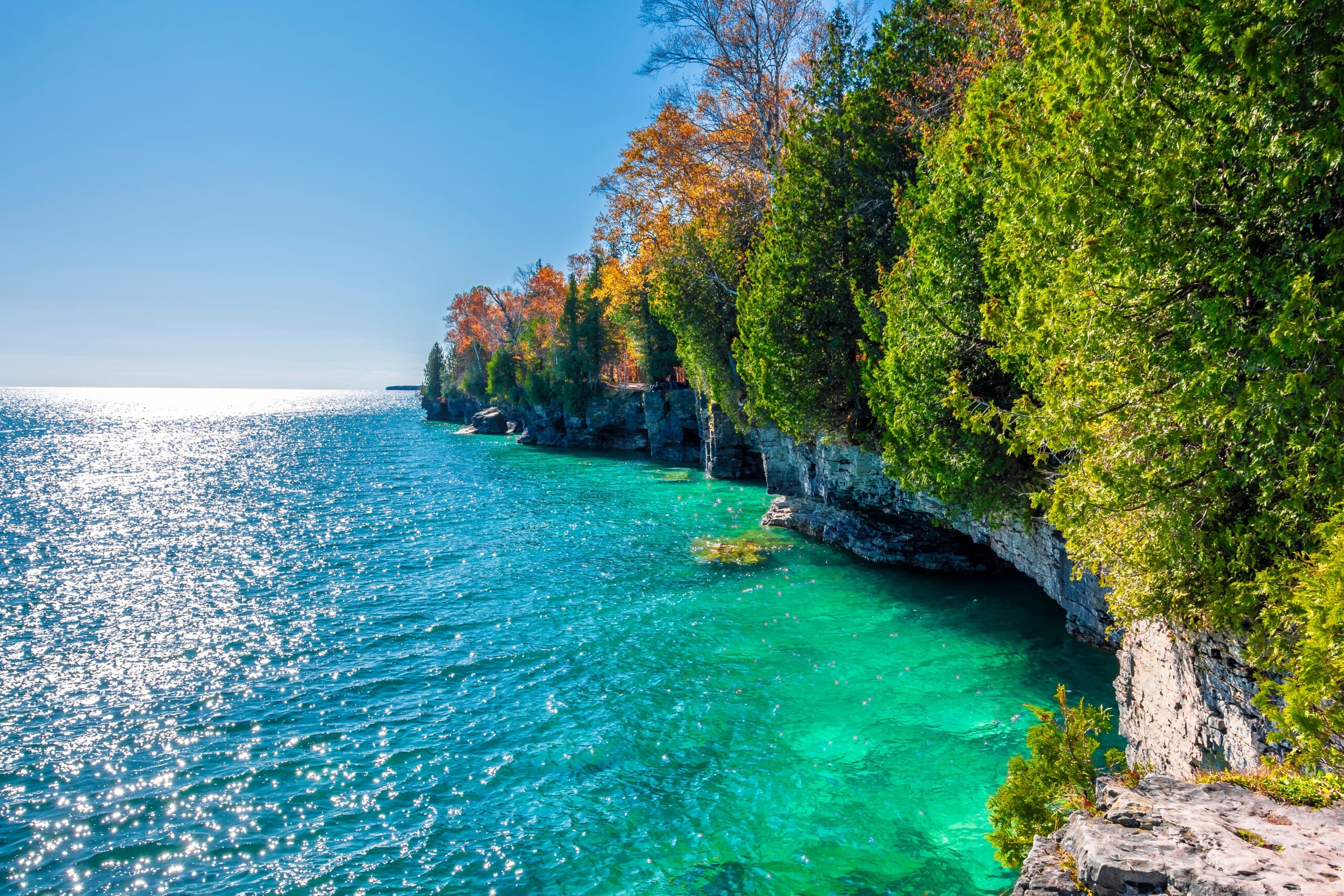
Door County is a picturesque peninsula known for its charming small towns, historic lighthouses, and abundant natural beauty. Lake Michigan surrounds the area and offers miles of coastline with sandy beaches, rugged cliffs, and tranquil bays.
Summer in Door County is alive with color and activity, from cherry picking and wine tasting to sailing and kayaking in crystal-clear waters.
The peninsula’s vibrant arts scene, with galleries, theaters, and live music, adds a cultural flair to the natural beauty, making Door County a delightful blend of outdoor adventure and artistic exploration.
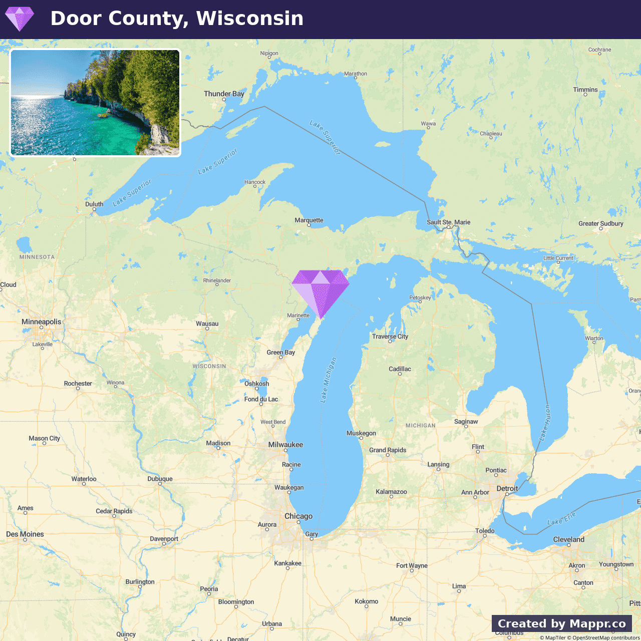
- ✈️ How to Get There: Accessible by car, Door County is a scenic drive away from major cities like Milwaukee and Chicago, making it an ideal getaway for relaxation and adventure.
- 🏨 Where to Stay: Check recommended places to stay in Door County.
10. Ruby Falls, Tennessee
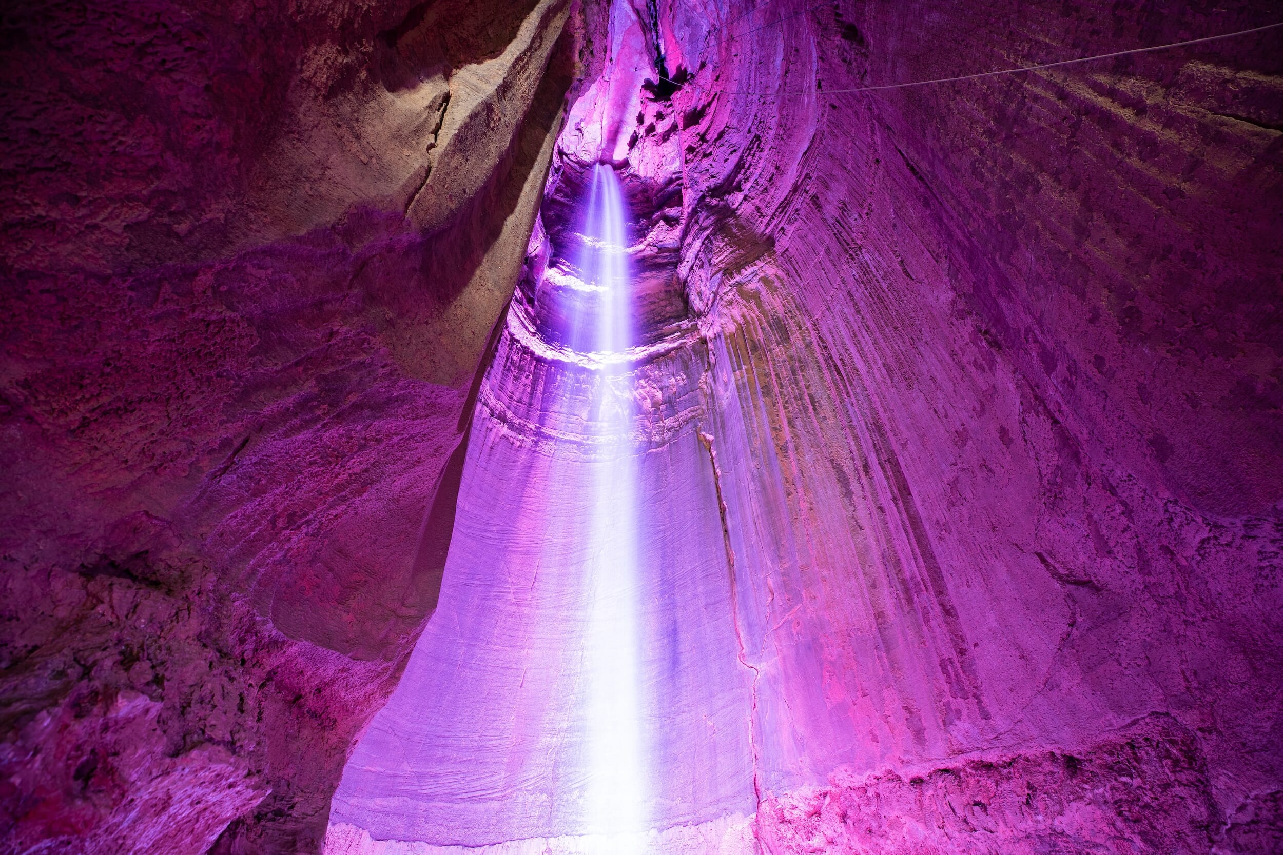
Ruby Falls is a mesmerizing highlight within Lookout Mountain, inviting visitors to explore the depths of Tennessee’s underground landscape.
This majestic waterfall, hidden deep within the mountain, cascades down a 145-foot drop, creating a breathtaking spectacle in a cavern illuminated by colorful lights.
The journey to Ruby Falls is equally enchanting, with guided tours weaving through intricate cave formations and past geological wonders.
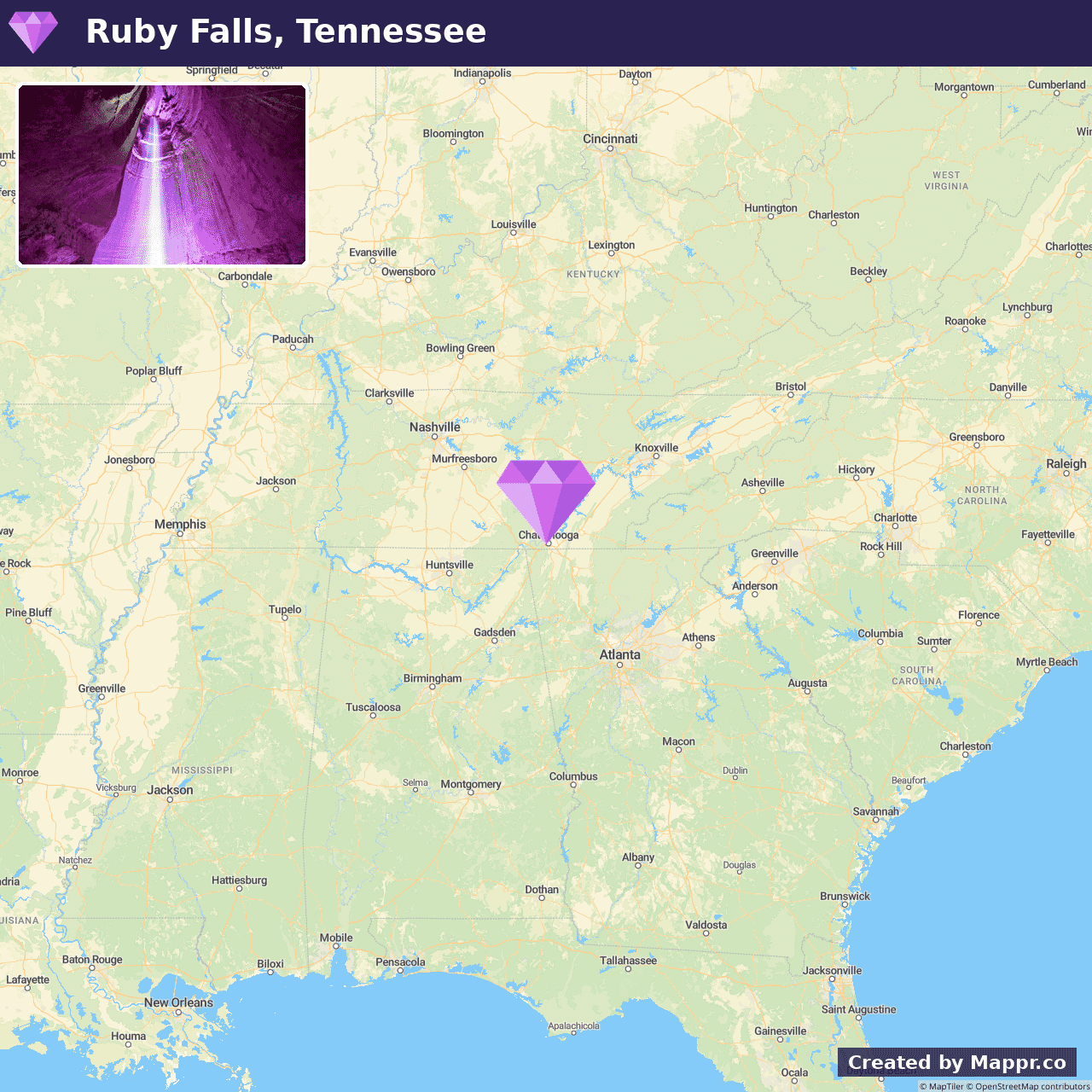
- ✈️ How to Get There: Ruby Falls is conveniently located near Chattanooga, Tennessee, and is easily accessible by car, making it a perfect stop on a road trip through the scenic Southeast.
- 🏨 Where to Stay: Check recommended places to stay in Ruby Falls.
11. Badlands National Park, South Dakota
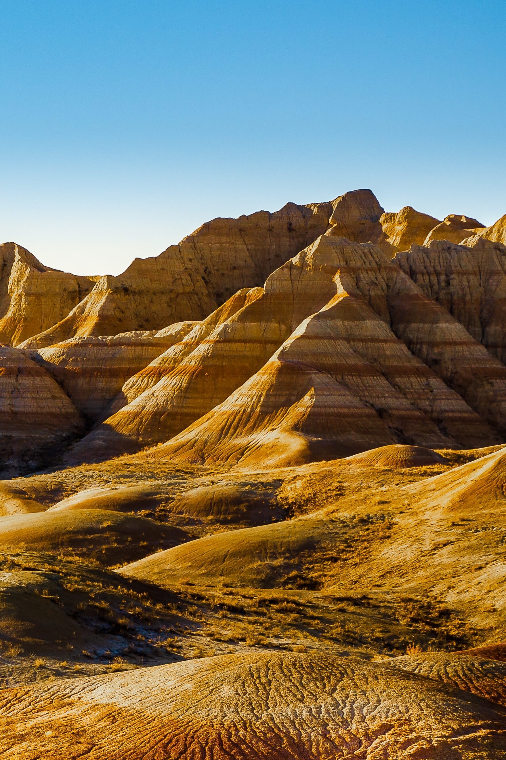
Badlands National Park’s striking landscape of rugged spires, deep canyons, and vast grasslands is a dramatic backdrop for adventure and discovery.
This South Dakota treasure offers a glimpse into a world of extreme weather, unique geology, and rich fossil beds, painting a picture of life millions of years ago.
The park’s extensive trails cater to hikers of all skill levels, providing opportunities to witness the diverse wildlife and the otherworldly beauty of the Badlands.
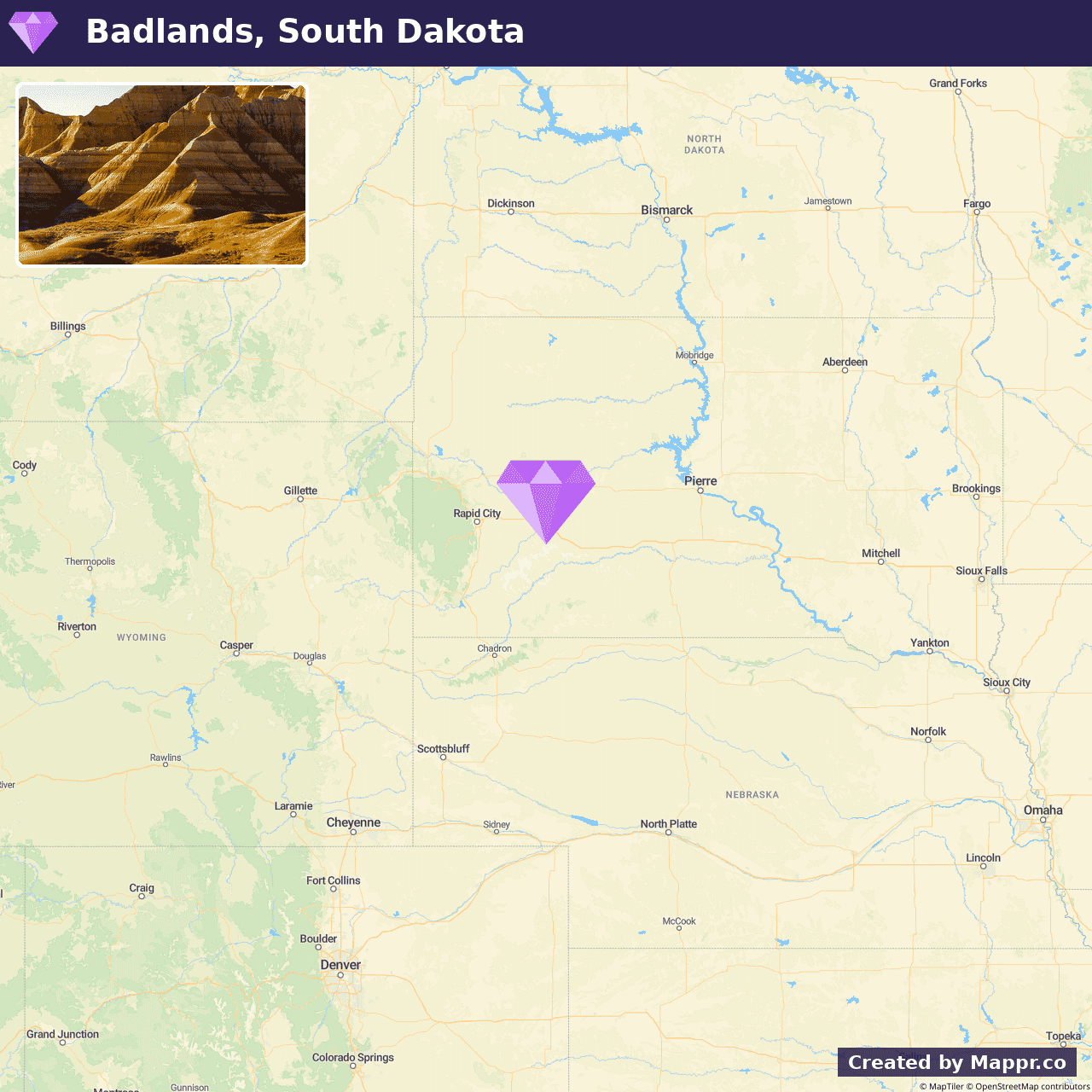
- ✈️ How to Get There: Located just off Interstate 90, Badlands National Park is accessible by car, making it an essential destination for those exploring the American Midwest.
- 🏨 Where to Stay: Check recommended places to stay in Badlands National Park.
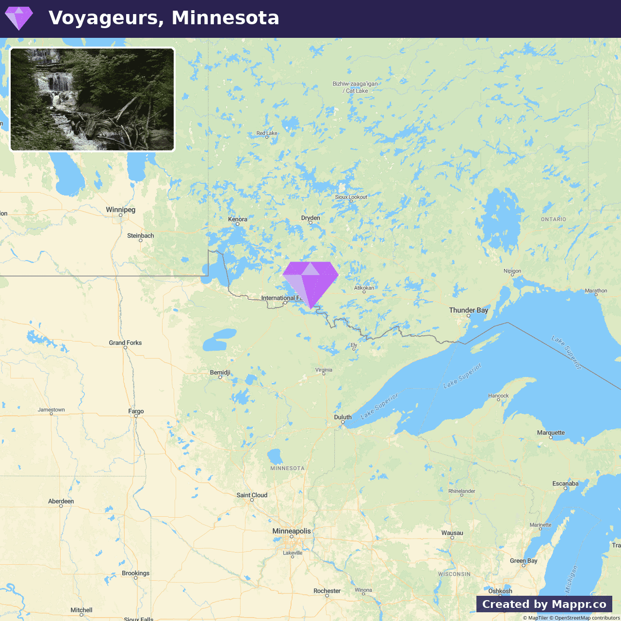
12. Voyageurs National Park, Minnesota
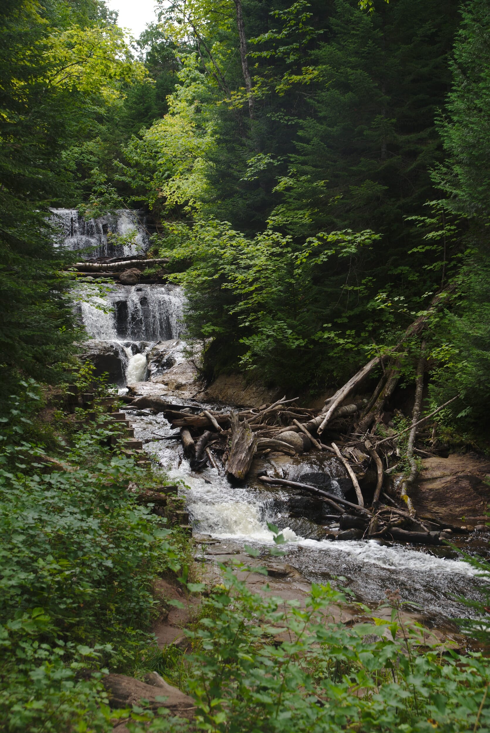
Voyageurs National Park, nestled in the heart of Minnesota, is a pristine wilderness area defined by its vast waterways and forested shorelines.
The park transforms into a vibrant playground for outdoor enthusiasts in summer, offering endless boating, fishing, and kayaking opportunities in its interconnected lakes.
The long summer days allow ample time for exploration, from discovering hidden coves and islands to observing the rich wildlife, including bald eagles and moose.
- ✈️ How to Get There: The park is accessible from International Falls and Kabetogama, Minnesota, with entry points suitable for road and boat travel, ensuring a seamless journey into this water-centric paradise.
- 🏨 Where to Stay: Check recommended places to stay in Voyageurs National Park.
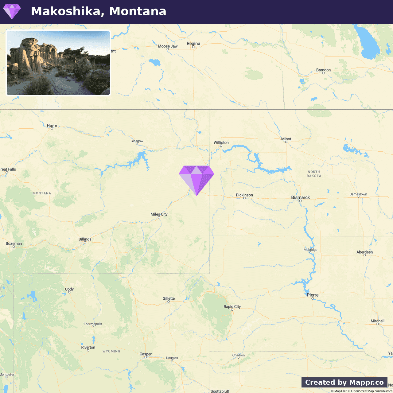
13. Makoshika State Park, Montana
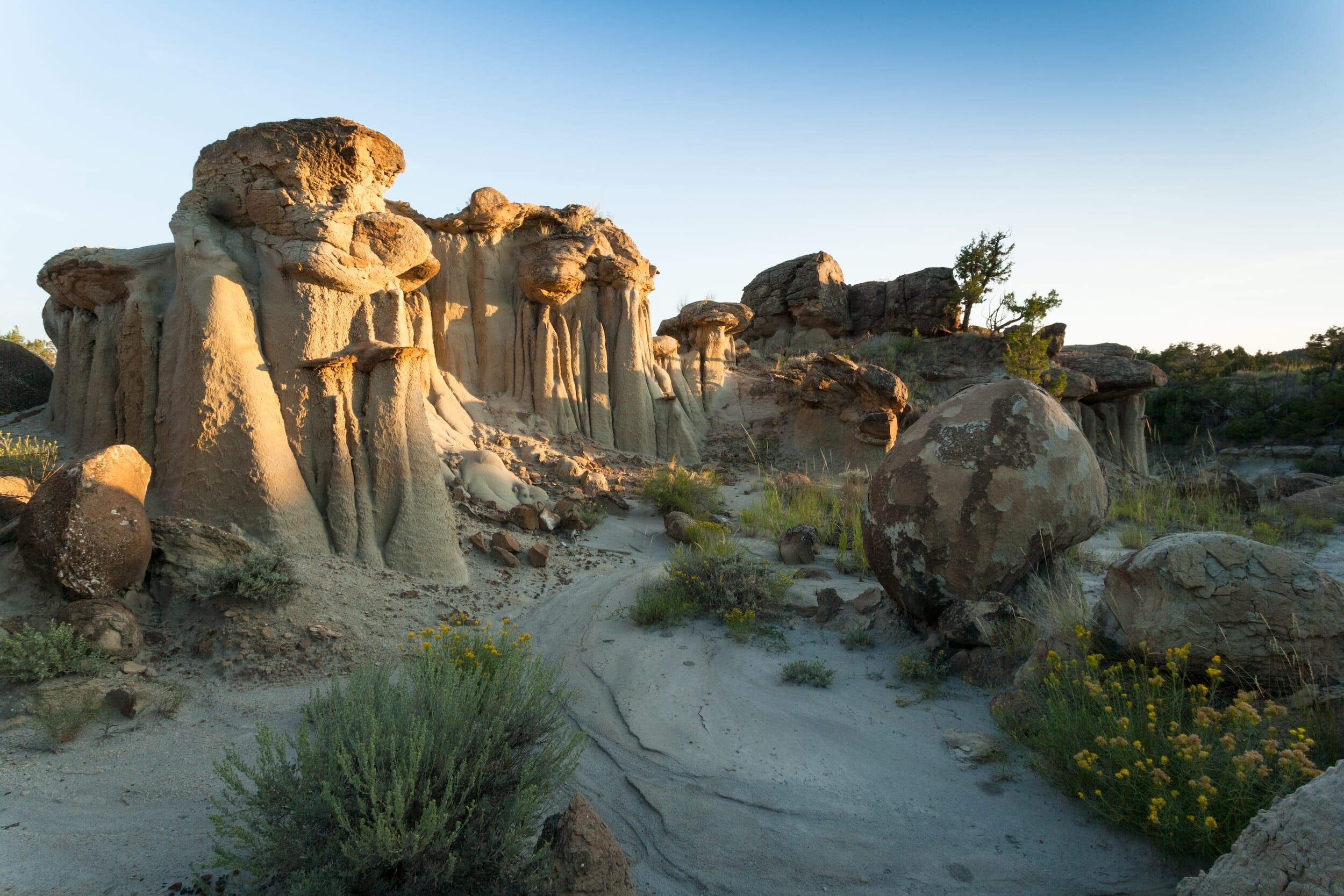
Makoshika State Park invites explorers to step into a landscape reminiscent of another world, with its rugged badlands and striking rock formations.
This hidden gem, rich in paleontological resources, offers a unique glimpse into the Earth’s distant past, where dinosaurs once roamed. The park’s trails wind through the striking terrain, leading adventurers to breathtaking vistas and geological wonders.
Visitors can engage in various activities, from hiking and photography to participating in educational programs about the area’s ancient inhabitants.
- ✈️ How to Get There: Located in eastern Montana, near the town of Glendive, Makoshika State Park is easily accessible by car, making it a perfect destination for a road trip through the majestic landscapes of the American West.
- 🏨 Where to Stay: Check recommended places to stay in Makoshika State Park.
14. Big Bend National Park, Texas
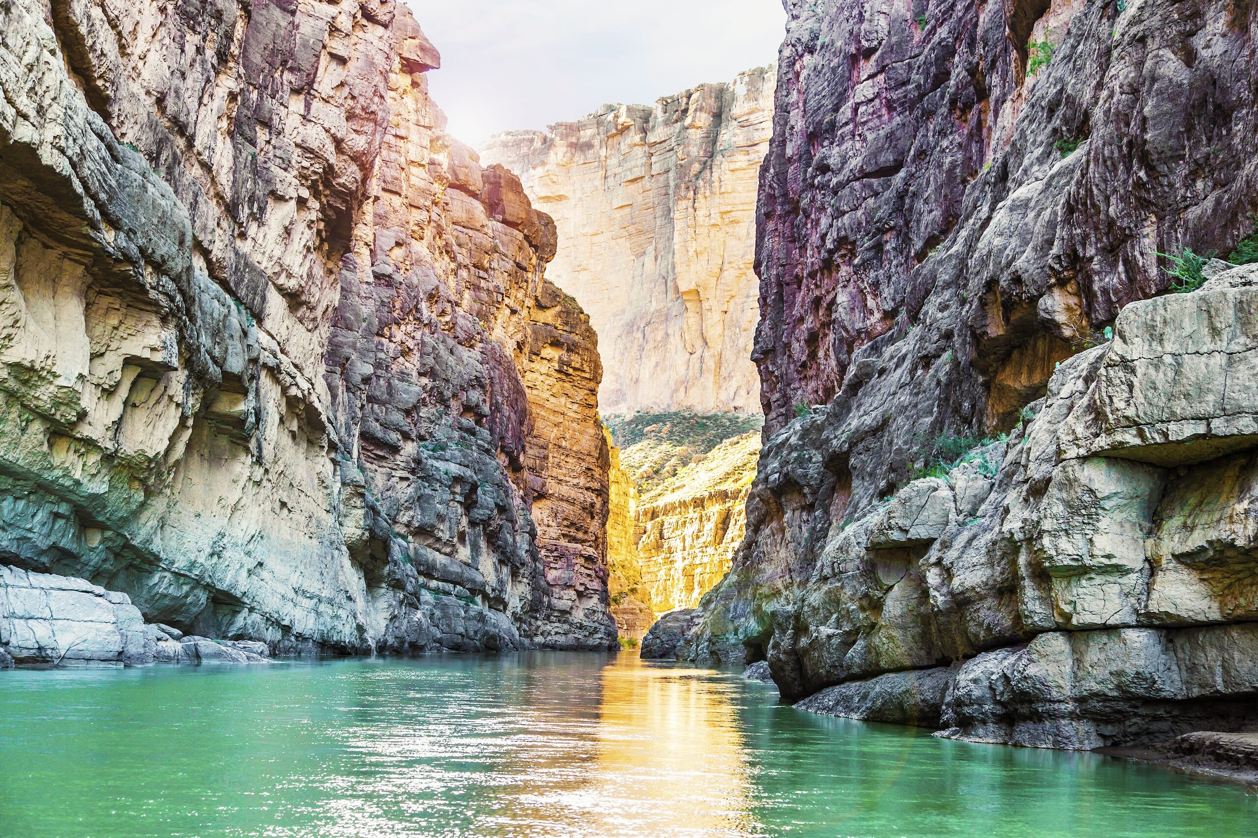
Big Bend National Park is a vast and remote wilderness that beckons the adventurous at heart. The park’s diverse landscape encompasses river canyons, desert expanses, and majestic mountains, offering a playground for hikers, bird watchers, and nature enthusiasts.
The park’s isolation ensures an unparalleled stargazing experience under some of the darkest skies in the United States. Big Bend’s rich cultural history and natural wonders make it a compelling destination for those seeking solitude and a deep connection with the natural world.
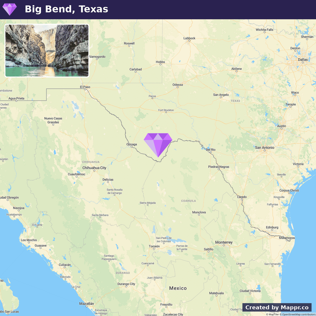
- ✈️ How to Get There: Big Bend National Park is accessible by car. The nearest airports are located in Midland-Odessa, El Paso, and San Antonio, Texas, each providing a scenic drive to the park’s entrance.
- 🏨 Where to Stay: Check recommended places to stay in Big Bend National Park.
15. White Sands National Park, New Mexico
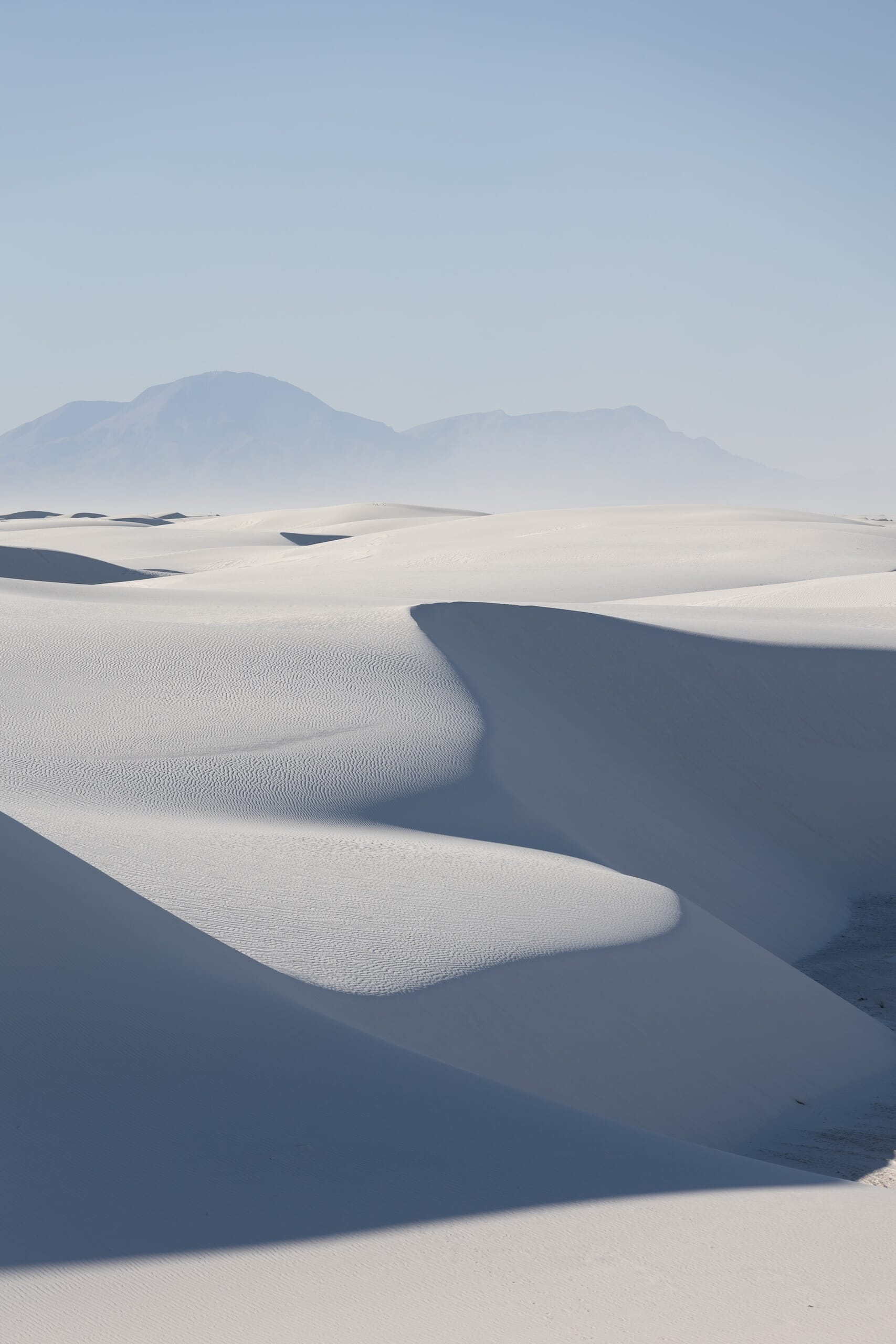
White Sands National Park is an ethereal expanse of glistening white gypsum sand dunes. This surreal landscape offers a striking contrast against the blue New Mexico sky, providing a peaceful yet otherworldly escape for visitors.
The park invites exploration by foot, sled, or camera, with the ever-changing dunes offering new vistas and experiences with each visit.
Whether seeking the thrill of sledding down the incredible, soft dunes or the tranquility of a sunset walk, White Sands is a place of pure wonder and inspiration, offering a unique and memorable adventure.
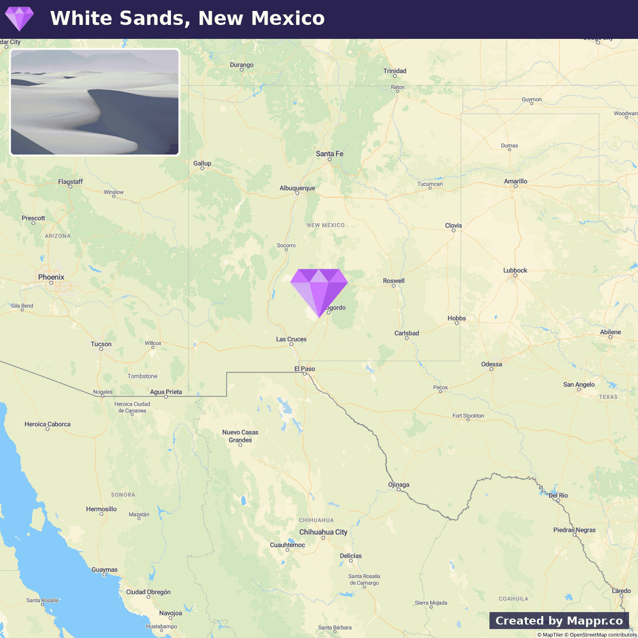
- ✈️ How to Get There: Located near Alamogordo, New Mexico, White Sands National Park is easily reachable by car from major cities such as El Paso, Texas, and Albuquerque, New Mexico.
- 🏨 Where to Stay: Check recommended places to stay in White Sands National Park.
16. North Cascades National Park, Washington
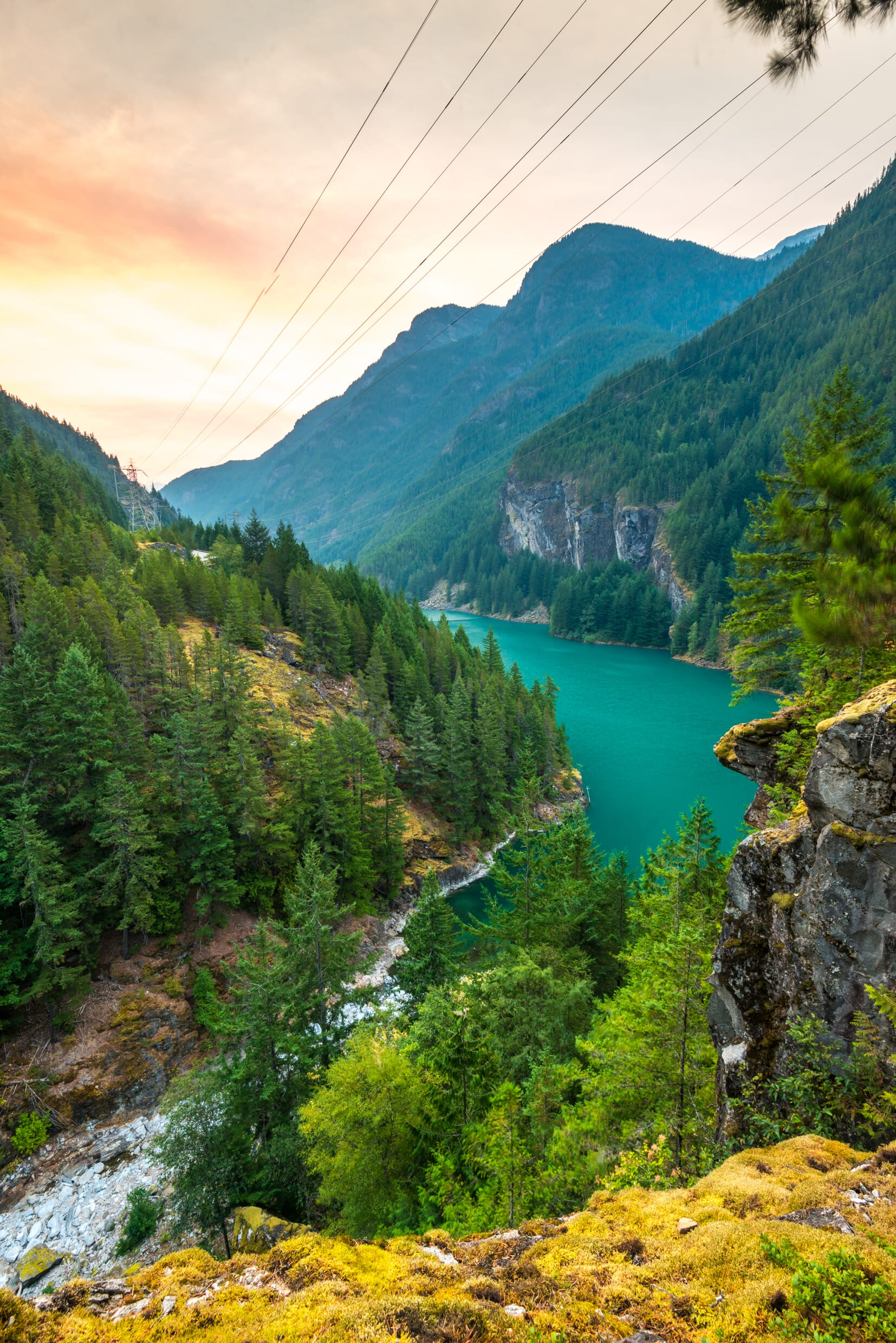
North Cascades National Park, a jewel in the state of Washington, presents a landscape replete with jagged peaks, alpine meadows, and over 300 glaciers.
This park is a sanctuary for mountaineers, hikers, and nature lovers who seek the solace and challenge of the rugged wilderness.
Trails like the Cascade Pass offer panoramic views of the surrounding peaks, while the serene Diablo Lake, with its vivid turquoise hue resulting from glacial silt, adds to the park’s mystic beauty.
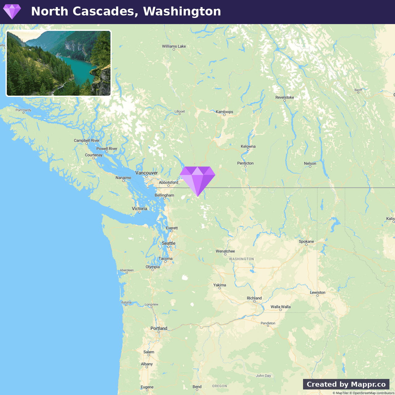
- ✈️ How to Get There: Viewed from the west via the North Cascades Highway (SR 20), this route offers a scenic drive through the park’s heart, with Seattle as a convenient starting point.
- 🏨 Where to Stay: Check recommended places to stay in North Cascades National Park.
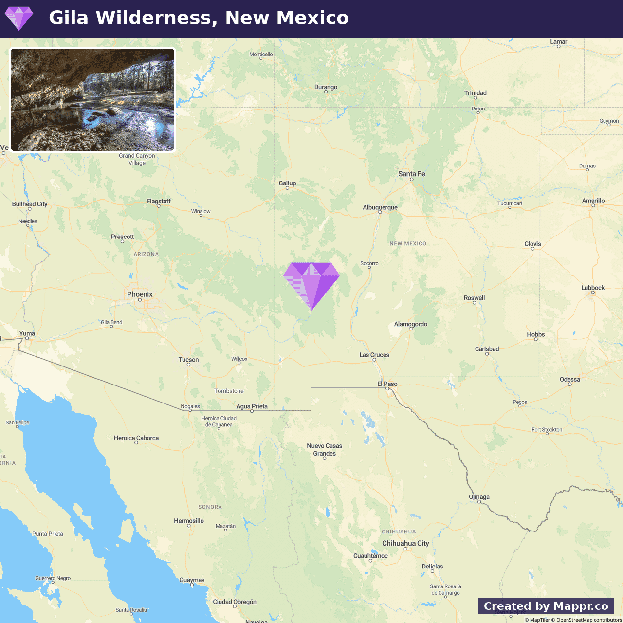
17. Gila Wilderness, New Mexico
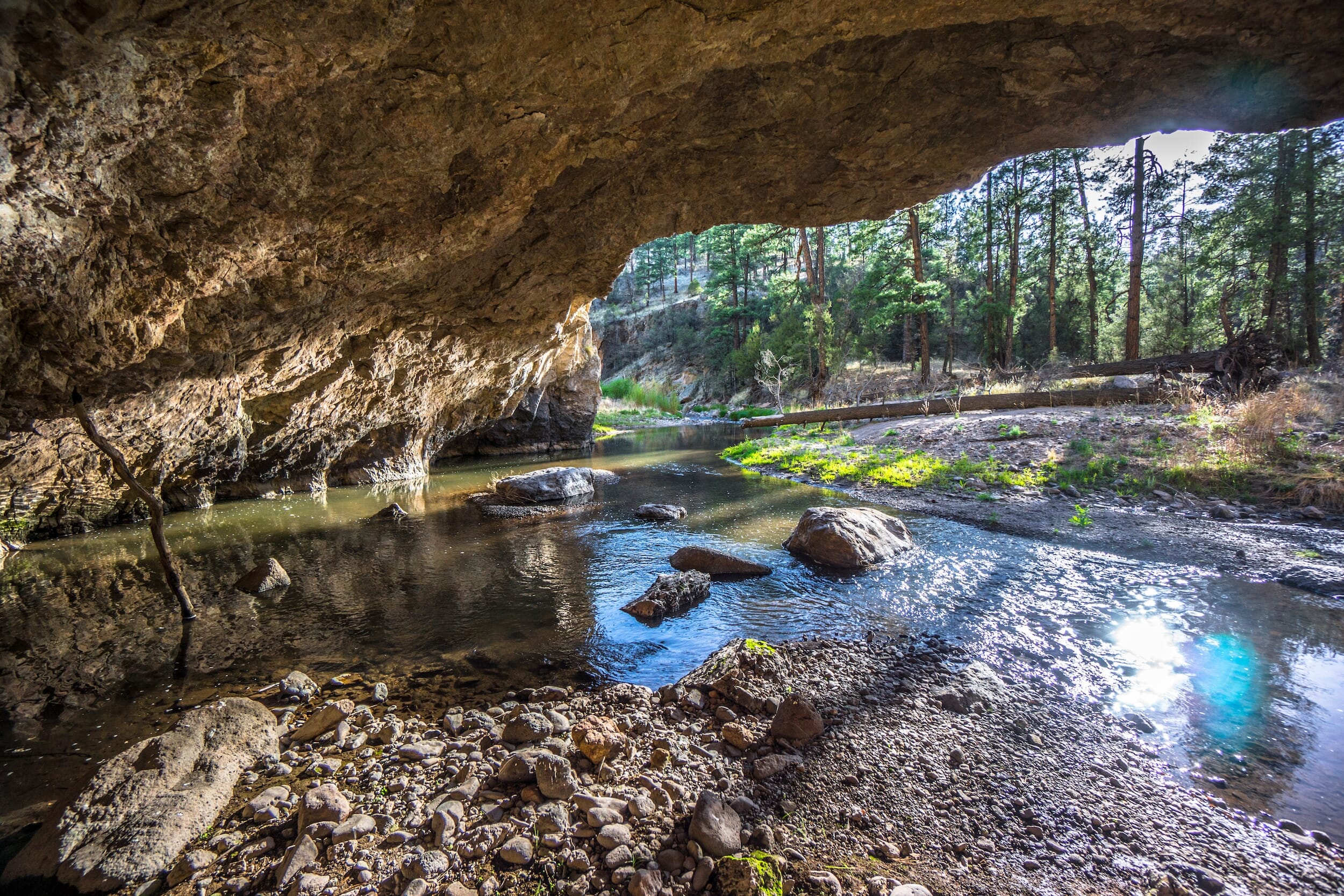
In the heart of New Mexico lies the Gila Wilderness, a vast expanse of untouched nature known for its hot springs, deep canyons, and ancient cliff dwellings.
Summer in the Gila Wilderness is a time of vibrant life and activity. Its rivers and streams provide a refreshing respite from the heat and trails wind through diverse landscapes, from desert scrub to ponderosa pine forests.
This wilderness area is ideal for those seeking adventure off the beaten path, whether backpacking in solitude, exploring the remnants of ancient cultures, or star-gazing under the clear, unpolluted skies.
- ✈️ How to Get There: The wilderness can be accessed from Silver City, New Mexico, which serves as a gateway to the vast Gila National Forest, encompassing this pristine wilderness area.
- 🏨 Where to Stay: Check recommended places to stay in Gila Wilderness.
18. Mammoth Cave National Park, Kentucky
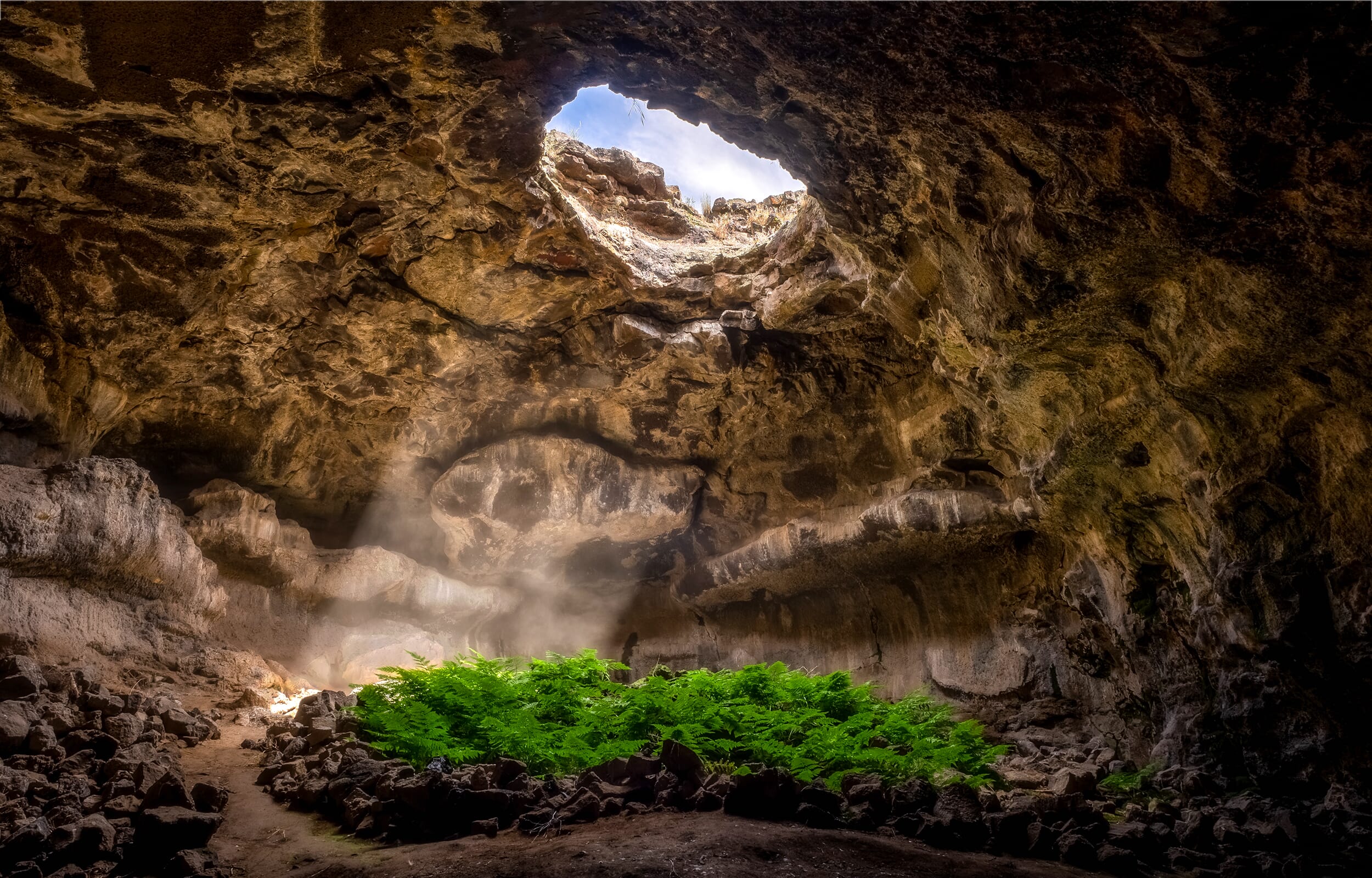
Mammoth Cave National Park is home to the world’s most extended cave system, offering an extraordinary underground adventure.
This UNESCO World Heritage site and International Biosphere Reserve invites visitors to explore its vast chambers and complex labyrinths, revealing the Earth’s intricate past through its rich geological formations.
Whether embarking on a guided cave tour to discover the hidden depths or enjoying the tranquility of the Green River, Mammoth Cave National Park provides a unique blend of subterranean and surface exploration opportunities.
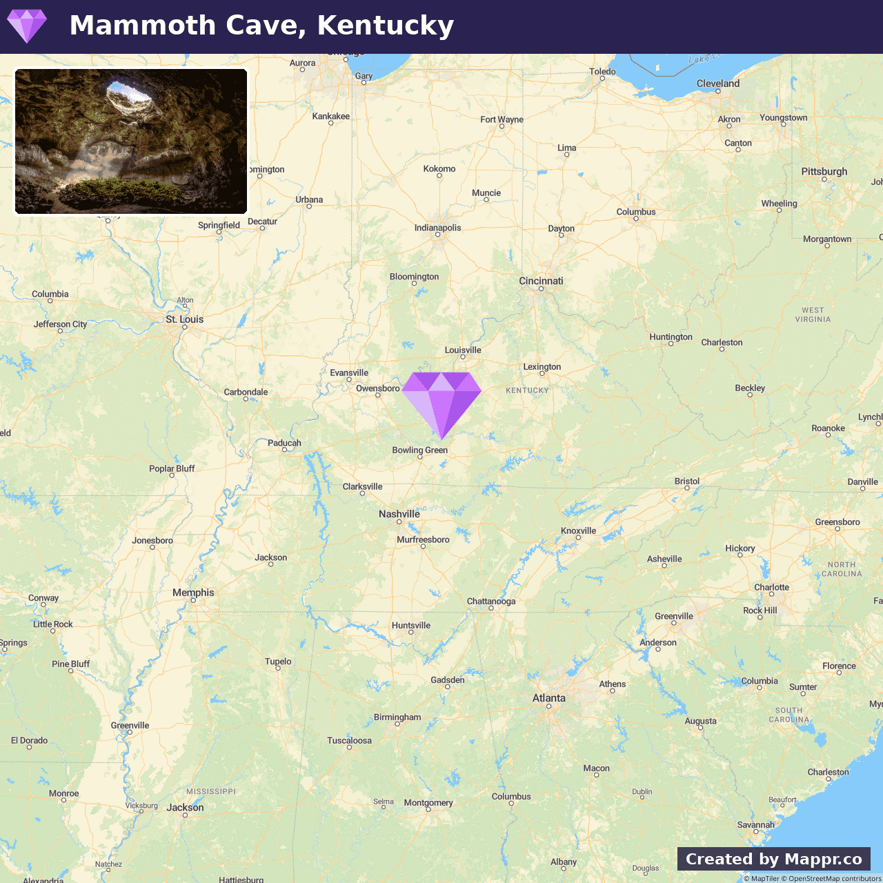
- ✈️ How to Get There: Located centrally between Louisville, Kentucky, and Nashville, Tennessee, Mammoth Cave National Park is easily accessible by car, making it a convenient escape into the wonders of the natural world.
- 🏨 Where to Stay: Check recommended places to stay in Mammoth Cave National Park.
19. Theodore Roosevelt National Park
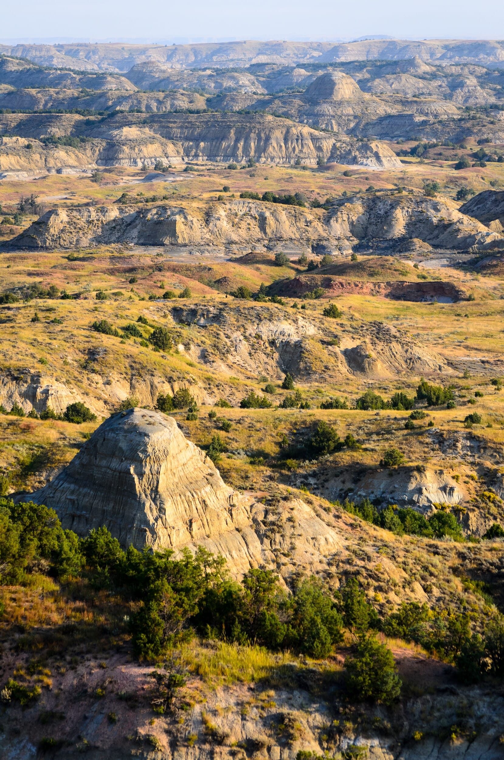
Theodore Roosevelt National Park, named in honor of the 26th President of the United States and his enduring conservation legacy, is a rugged landscape that captures the heart of the American Badlands.
This park is a mosaic of rolling grasslands, winding rivers, and dramatic rock formations, providing a sanctuary for diverse wildlife, including bison, wild horses, and elk.
Visitors are invited to traverse the scenic drives, hike the numerous trails, or partake in the tranquility of camping under a star-filled sky.
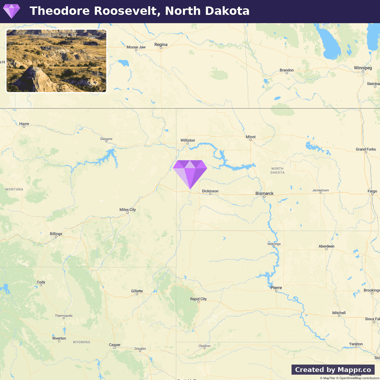
- ✈️ How to Get There: Located in western North Dakota, the park is accessible by car via Interstate 94, making it a captivating destination on any road trip through the Northern Plains.
- 🏨 Where to Stay: Check recommended places to stay in Theodore Roosevelt National Park.
20. Devil’s Tower National Monument, Wyoming
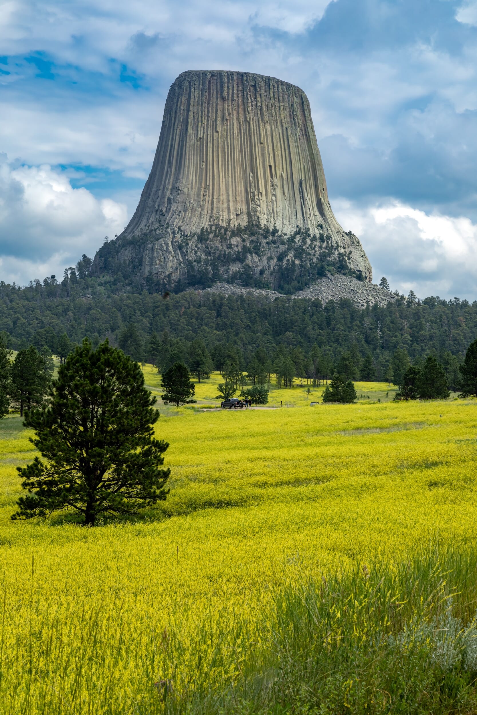
Devil’s Tower National Monument stands as a solitary sentinel in the rolling hills of northeastern Wyoming.
This striking volcanic formation, known as a sacred site by many Native American tribes, rises dramatically from the surrounding landscape, captivating all who visit.
The monument offers various trails that encircle the base, providing different perspectives and opportunities to witness the abundant wildlife.
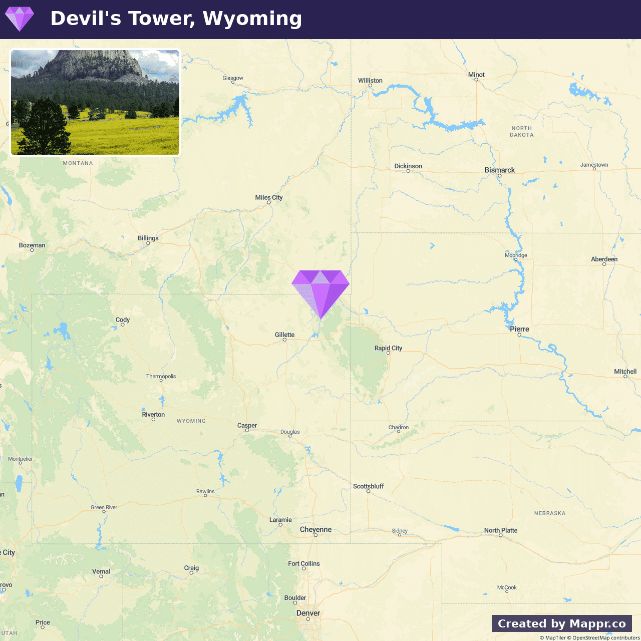
- ✈️ How to Get There: Easily reached by car, Devil’s Tower is a scenic drive from Rapid City, South Dakota, and an essential stop for travelers exploring the Black Hills and beyond.
- 🏨 Where to Stay: Check recommended places to stay in Devil’s Tower National Monument.
21. Pictured Rocks National Lakeshore, Michigan
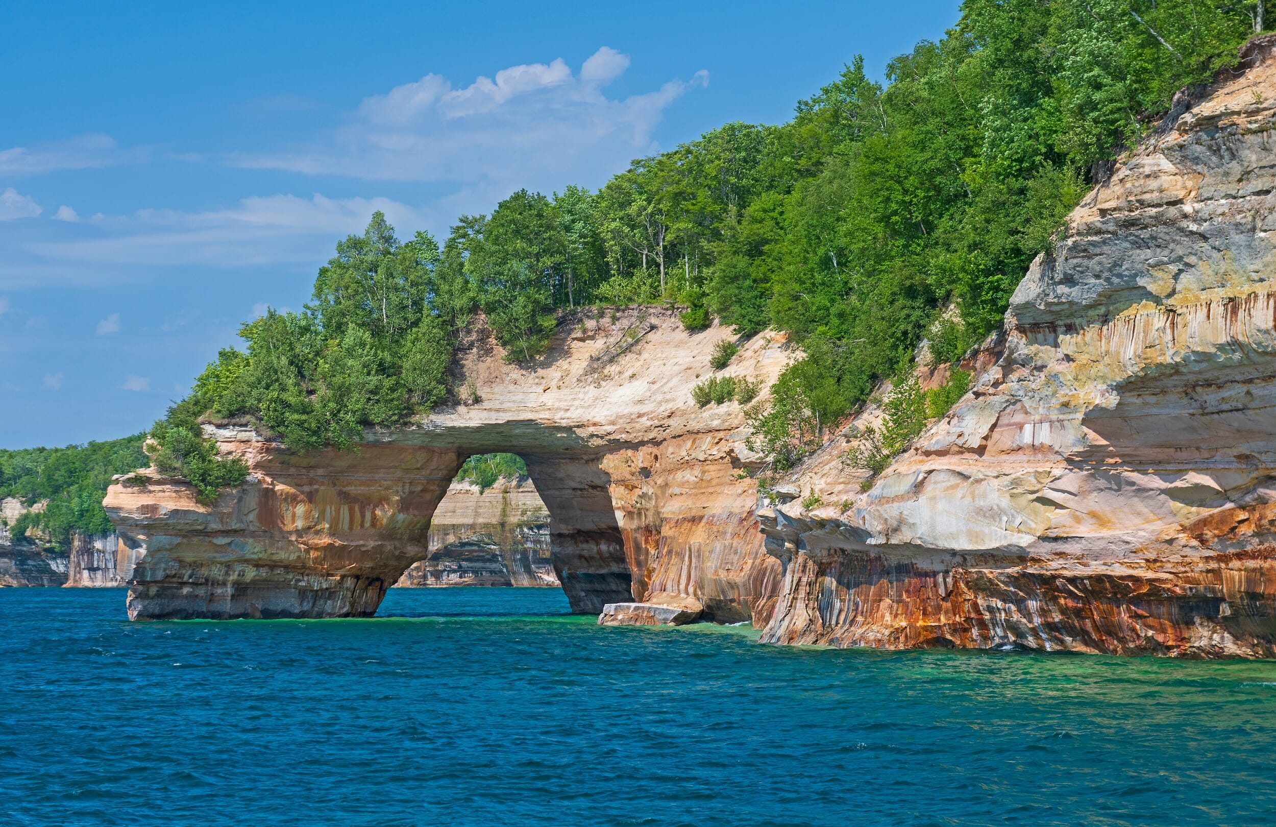
Pictured Rocks National Lakeshore is a kaleidoscope of natural beauty, with its towering sandstone cliffs, pristine beaches, and dense forests.
This lakeshore is famed for the colorful mineral stains on the cliff faces, which create a mesmerizing display that changes with the light and seasons.
Summer at Pictured Rocks is an adventurer’s delight. It offers kayaking along the cliff-lined coast, hiking through scenic trails, and camping under the canopy of ancient trees.
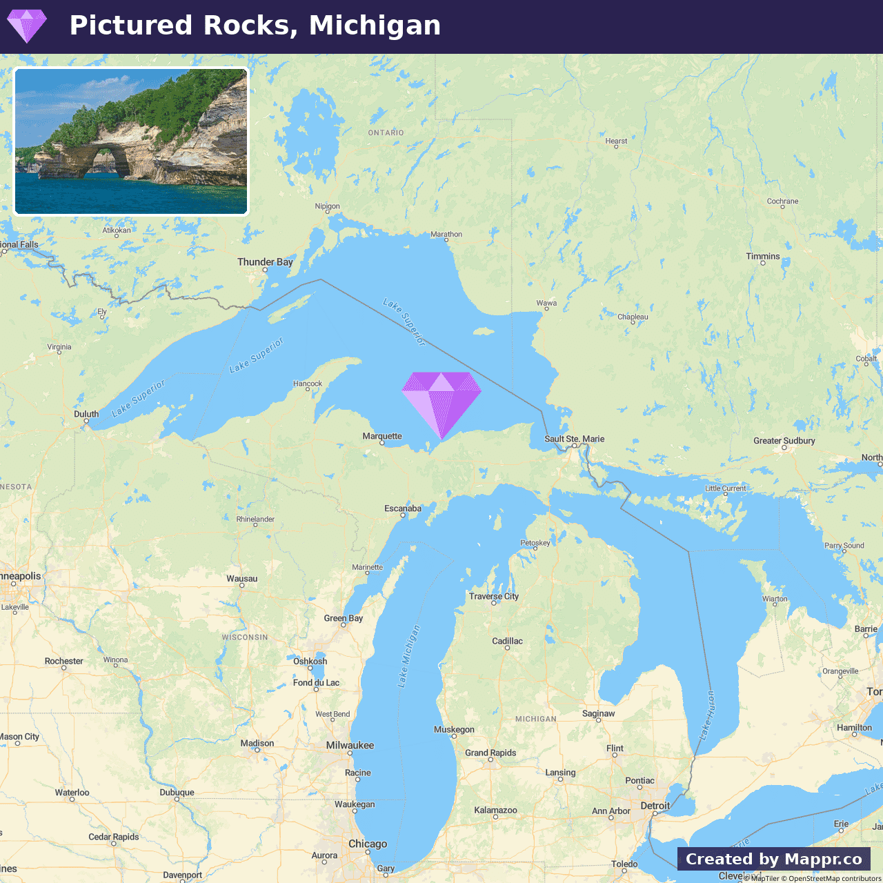
- ✈️ How to Get There: Munising and Grand Marais serve as gateways to Pictured Rocks, and access by car ensures a journey filled with scenic vistas and quaint towns.
- 🏨 Where to Stay: Check recommended places to stay in Pictured Rocks National Lakeshore.
22. Smith Rock State Park, Oregon
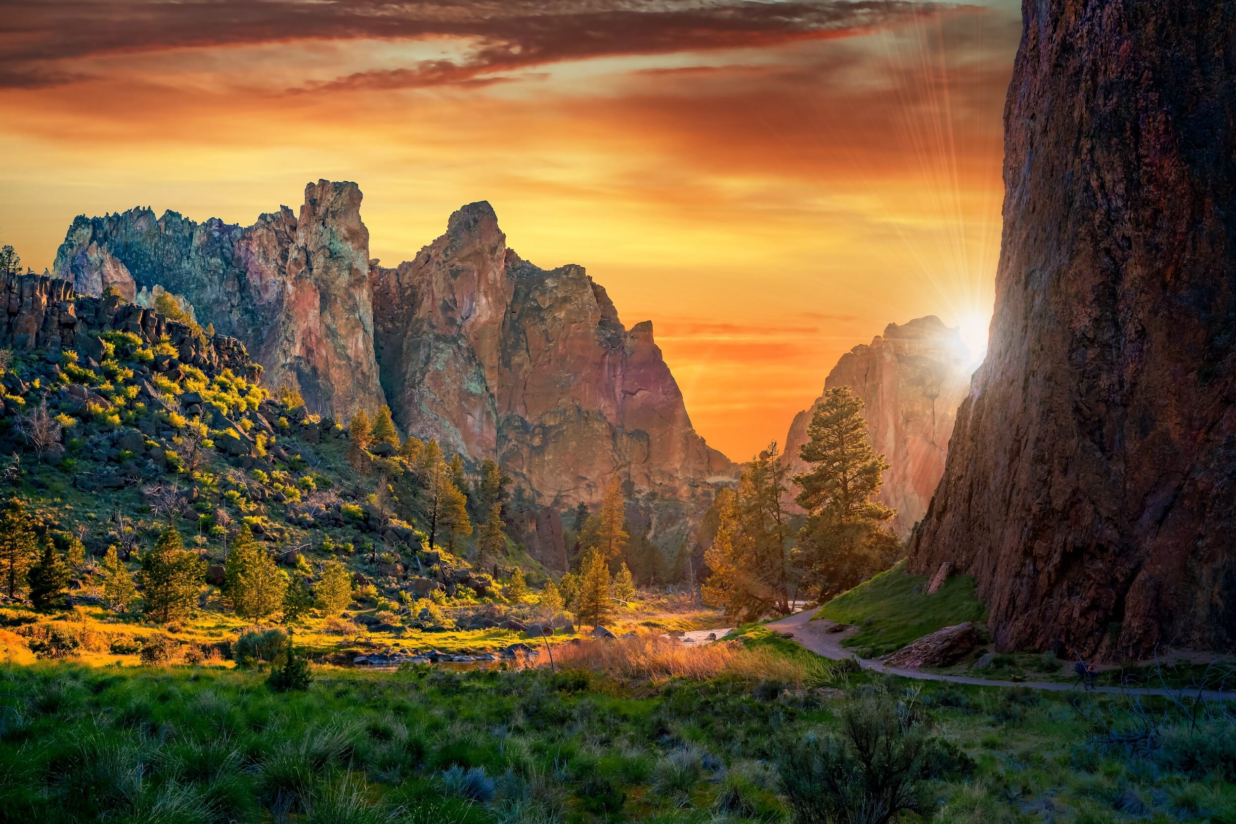
Smith Rock State Park boasts towering cliffs, craggy volcanic tuff, and basalt spires. Beyond climbing, the park offers many trails that meander through the scenic Crooked River Canyon, providing breathtaking views and opportunities for wildlife spotting.
The park’s landscape is a dramatic backdrop for various activities, including hiking, mountain biking, and bird watching, appealing to outdoor enthusiasts of all interests.
Smith Rock’s unique geological formations and the high desert’s stark beauty create an awe-inspiring environment for exploration and adventure.
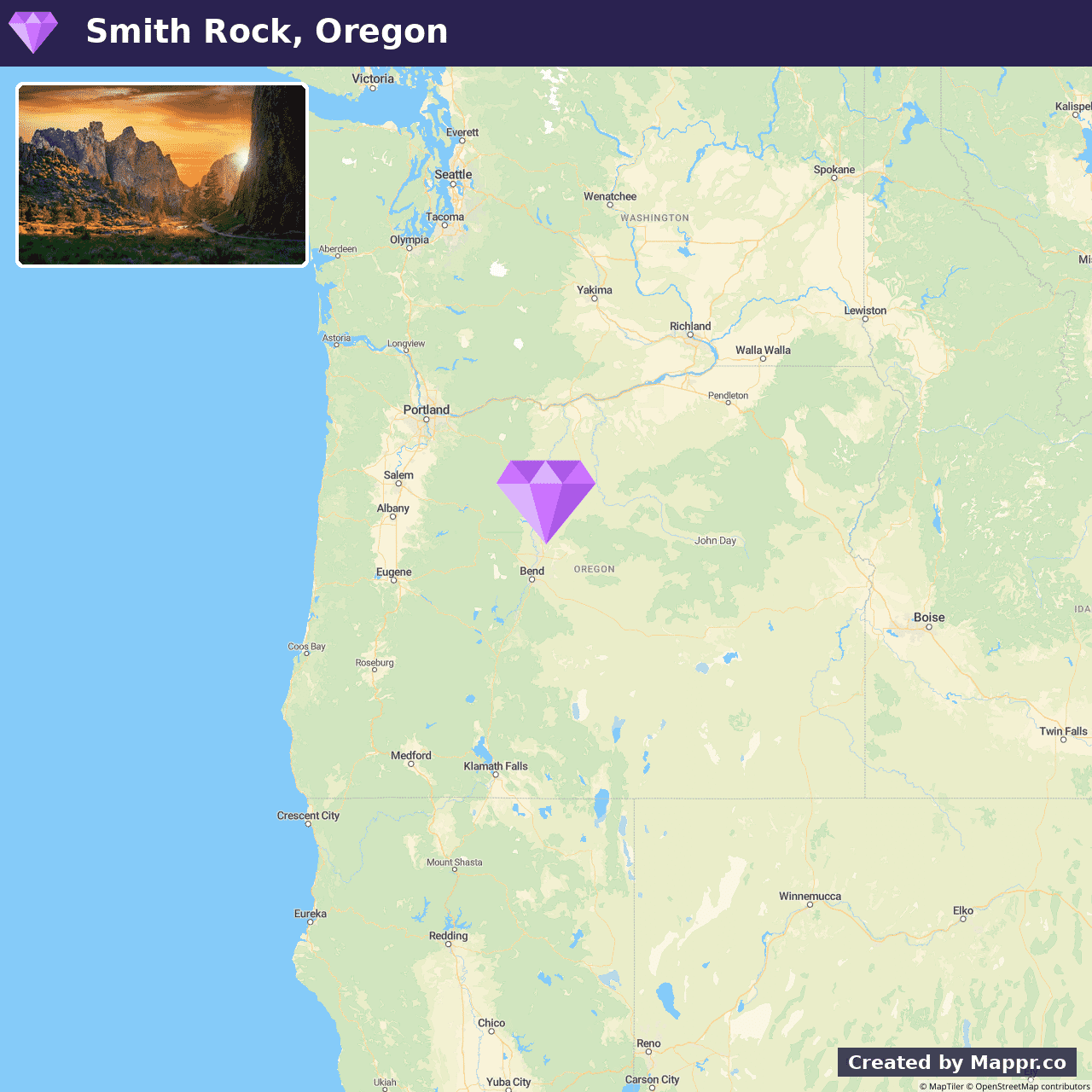
- ✈️ How to Get There: Near the small town of Terrebonne, Smith Rock State Park is easily accessible by car, just a short drive north of Bend, Oregon.
- 🏨 Where to Stay: Check recommended places to stay in Smith Rock State Park.
23. Swift River, New Hampshire
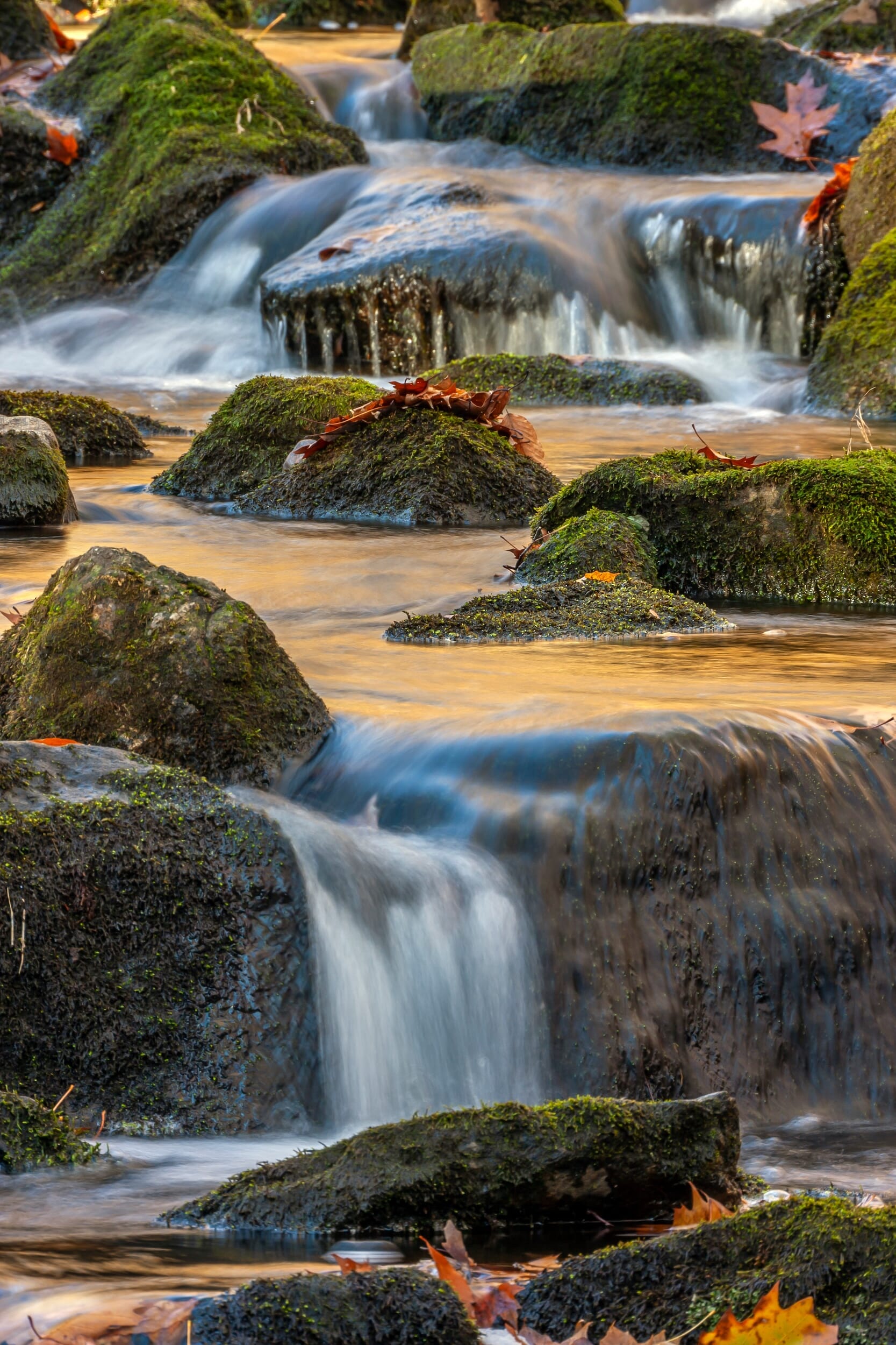
Swift River becomes a summer haven for those seeking respite in its calm, clear waters. Known for its picturesque beauty, the river meanders through lush forests and rocky landscapes, offering serene spots for picnicking, swimming, and tubing.
During the summer months, the river’s gentle currents provide a perfect setting for leisurely floats, with the surrounding wilderness offering a scenic backdrop for relaxation and rejuvenation.
The Swift River also attracts anglers for its abundance of trout, making it a peaceful retreat for fishing enthusiasts.
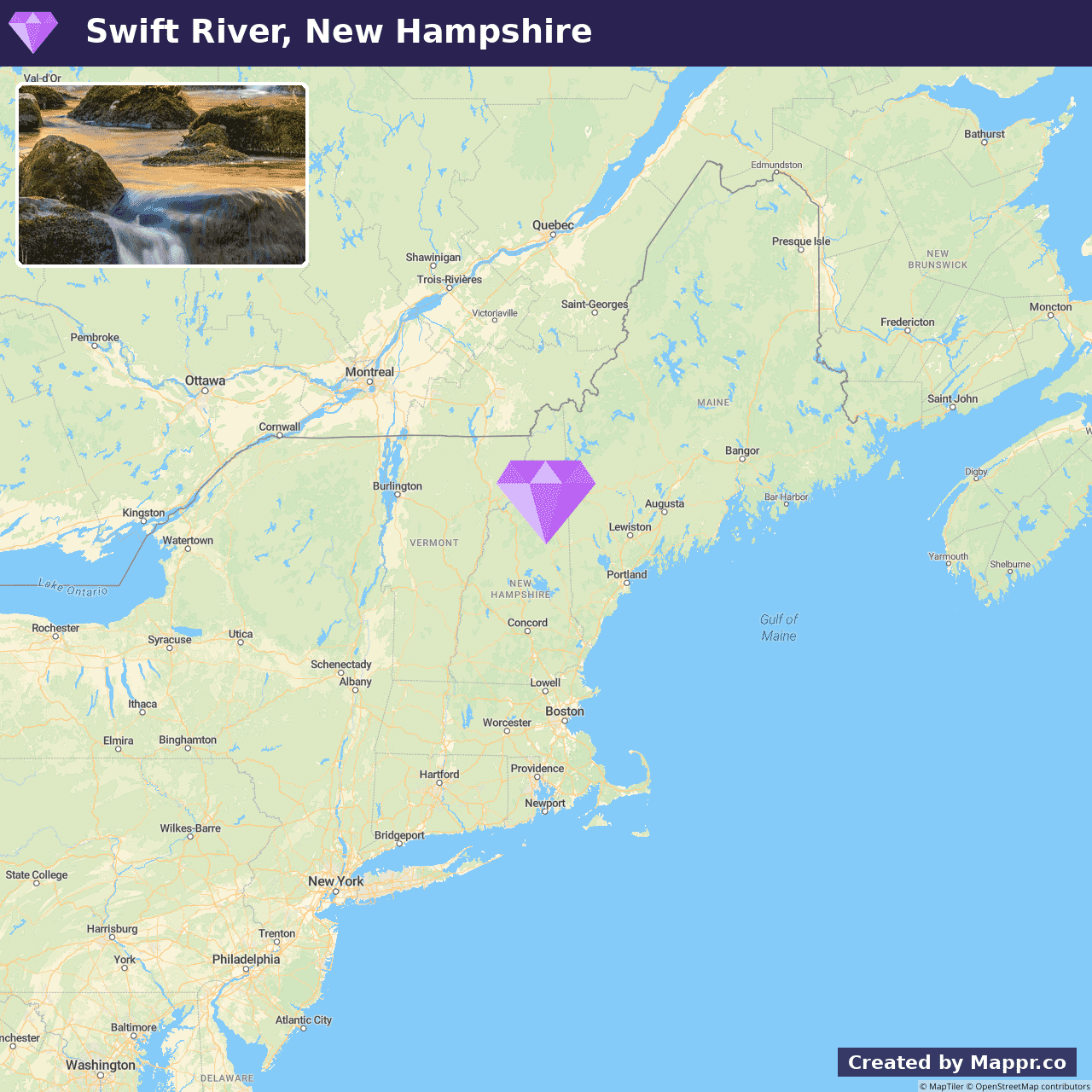
- ✈️ How to Get There: Swift River is accessible via the scenic Kancamagus Highway, which cuts through the White Mountains and is one of the most picturesque drives in New England.
- 🏨 Where to Stay: Check recommended places to stay in Swift River.
24. Glacier Bay National Park, Alaska
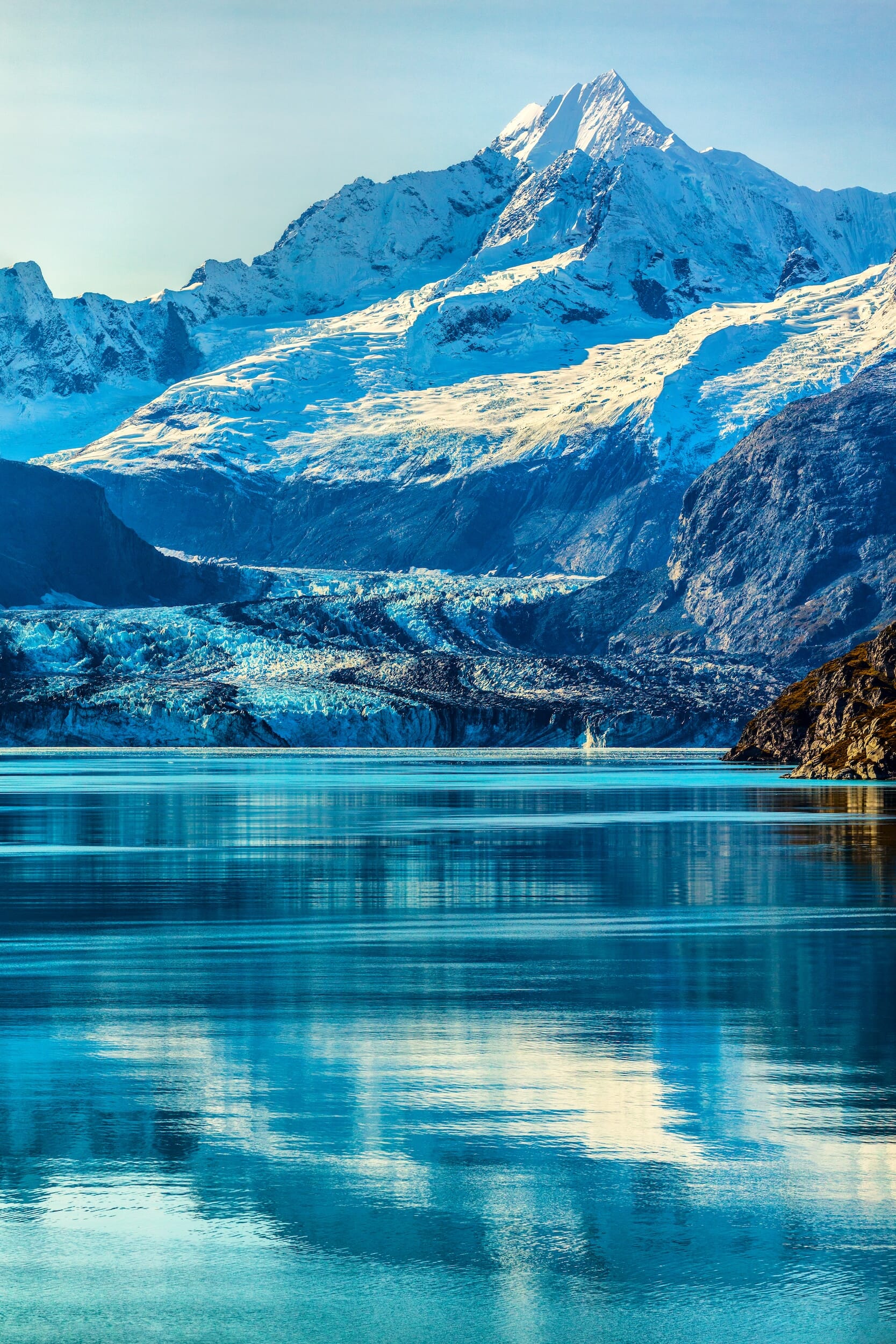
Glacier Bay National Park in Alaska is a remote natural wonder, showcasing a dynamic landscape where glaciers tumble into the sea, and mountains rise steeply from the coastline.
This vast wilderness is home to an array of wildlife, including humpback whales, sea otters, and bald eagles, set against the backdrop of stunning fjords and tidewater glaciers.
Visitors to the park can experience its majesty through boat tours, kayaking expeditions, and scenic hikes, offering intimate encounters with the park’s natural beauty and the profound silence of the Alaskan wilderness.
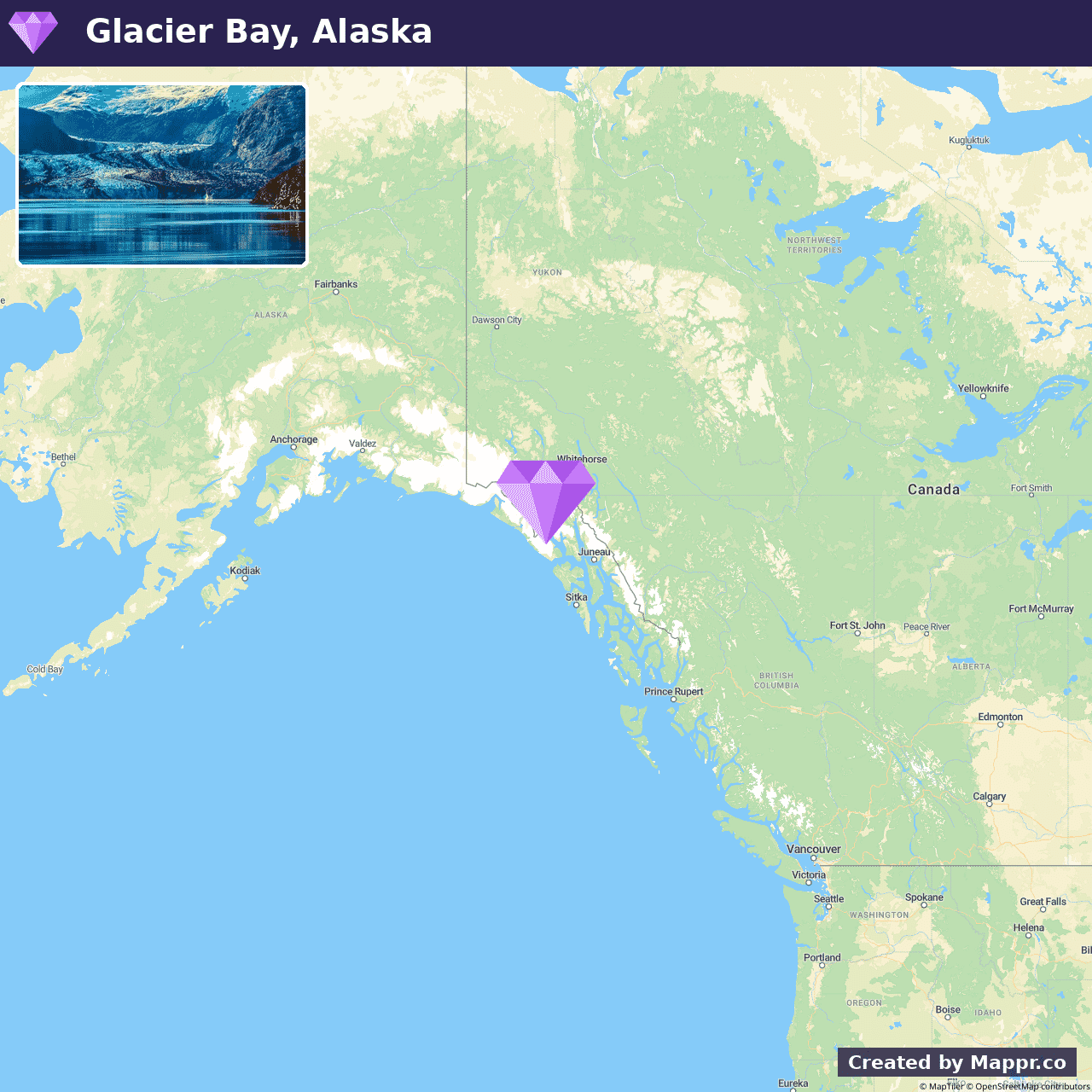
- ✈️ How to Get There: Glacier Bay National Park is most commonly accessed from Gustavus, Alaska, which is reachable by plane or boat from Juneau.
- 🏨 Where to Stay: Check recommended places to stay in Glacier Bay National Park.
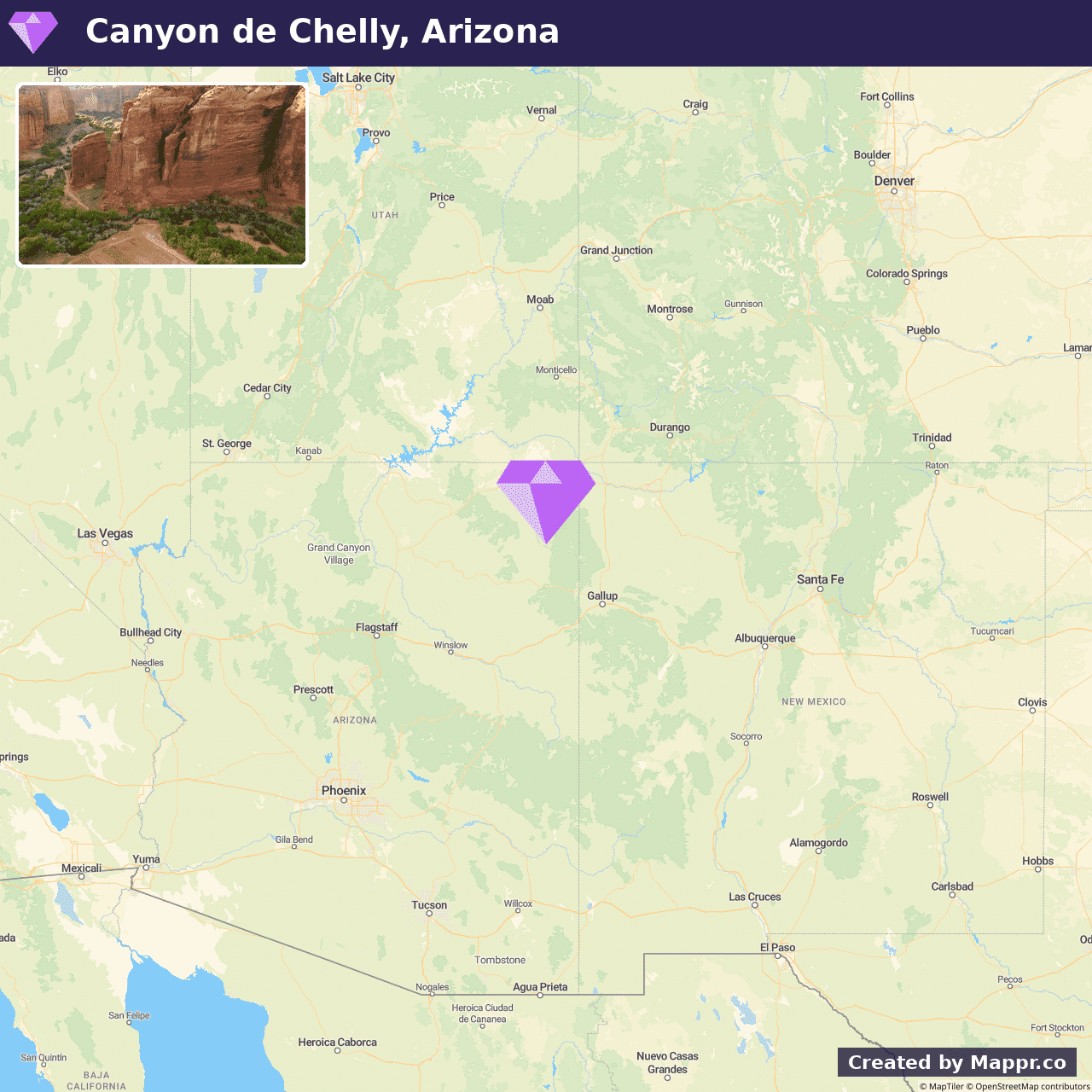
25. Canyon de Chelly National Monument, Arizona
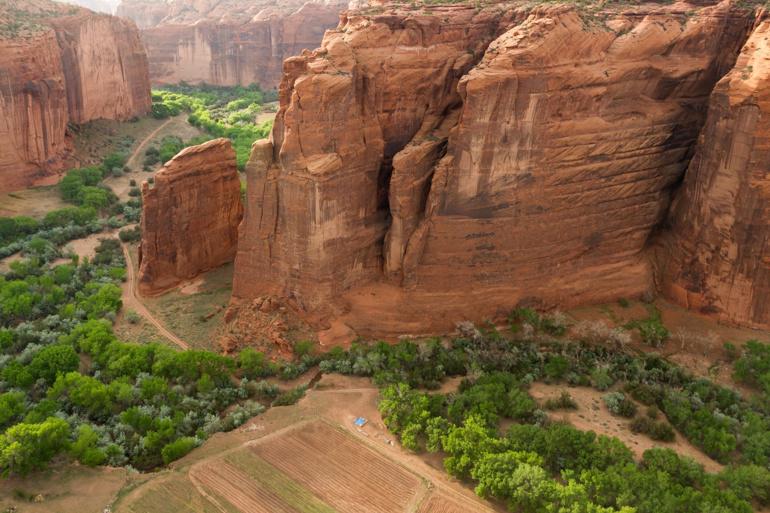
Canyon de Chelly National Monument, nestled within the heart of the Navajo Nation in Arizona, presents a tapestry of ancient civilizations, towering sandstone cliffs, and verdant valleys.
This sacred site, inhabited for thousands of years, offers a glimpse into the lives of the Ancestral Puebloans through the ruins and rock art adorning its walls.
Visitors are welcome to explore the rim drives for panoramic views of the stunning landscapes and delve into the canyon’s depths on guided tours, gaining insights into the rich cultural heritage and enduring traditions of the Navajo people.
- ✈️ How to Get There: Canyon de Chelly is accessible by car and is a scenic journey from major cities in the Southwest. It offers a profound experience in understanding the region’s deep historical roots.
- 🏨 Where to Stay: Check recommended places to stay in Canyon de Chelly National Monument.
26. Havasupai / Havasu Falls, Arizona
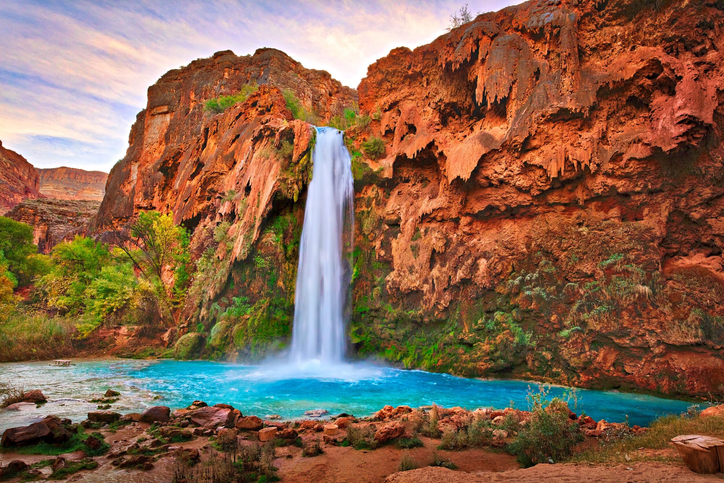
Havasu Falls is an awe-inspiring natural wonder known for its vibrant blue-green waters and dramatic waterfalls. This secluded paradise, accessible only by hike, helicopter, or horseback, rewards adventurers with an unparalleled experience of natural beauty.
The journey to Havasu Falls is an adventure in itself. It leads through breathtaking canyon landscapes to the tranquil oasis of the falls, where the contrast of the lush foliage against the desert backdrop creates a surreal setting.
Visitors can immerse themselves in the tranquility of the pools, making it a sought-after destination for those looking to escape into nature’s embrace.
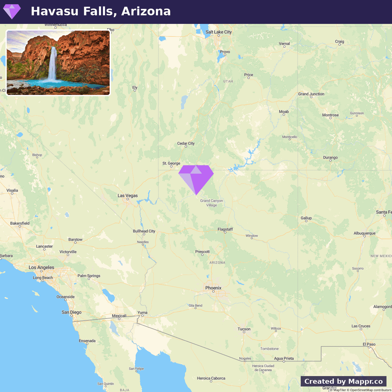
- ✈️ How to Get There: The trailhead to Havasu Falls is accessible by car from Hualapai Hilltop. The journey requires a permit and advance planning, ensuring a respectful and sustainable visit to this sacred land.
- 🏨 Where to Stay: Check recommended places to stay in Havasupai / Havasu Falls.
27. Baxter State Park, Maine
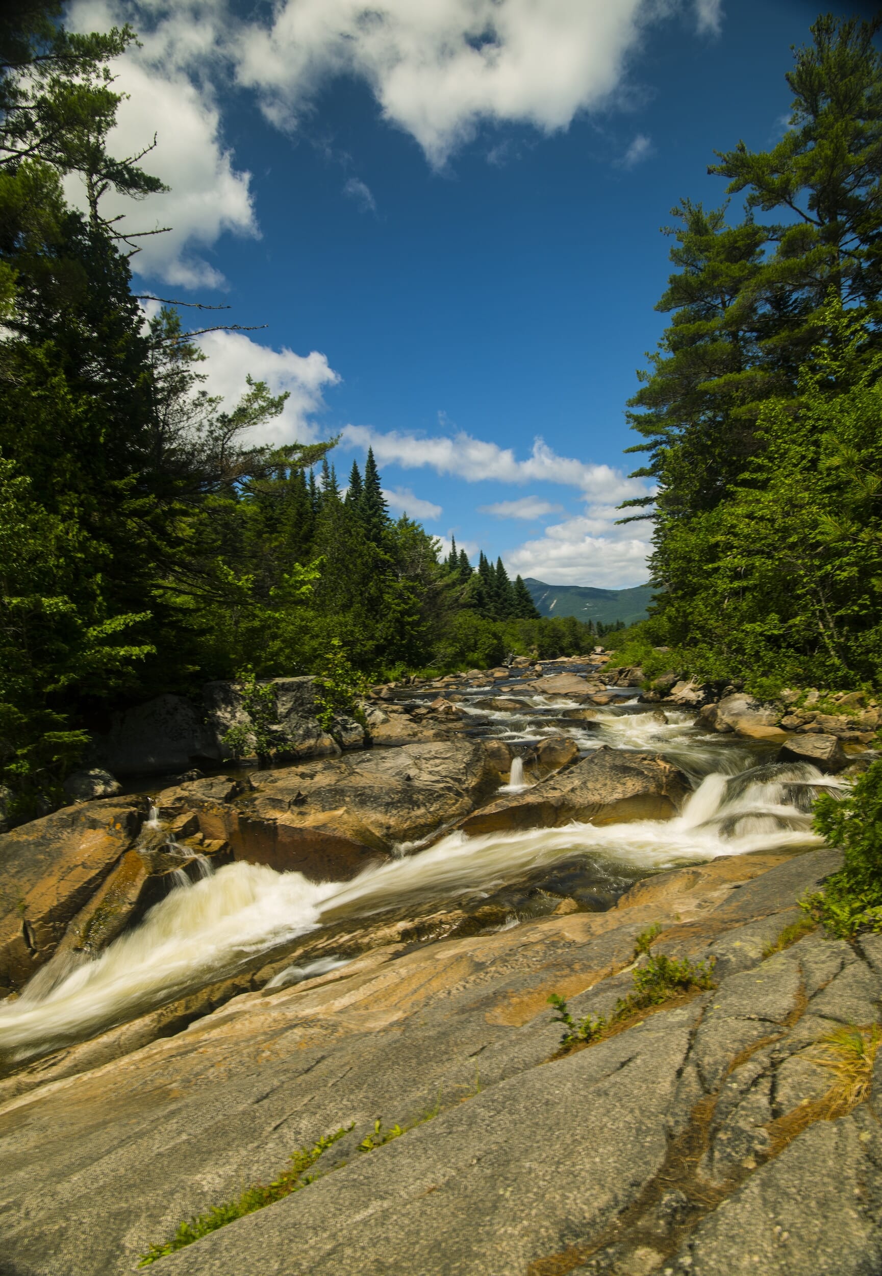
Baxter State Park is a tribute to the state’s natural beauty and Percival Baxter’s conservation legacy. The park is home to Mount Katahdin, the highest peak in Maine, and the northern terminus of the Appalachian Trail.
With over 200 miles of trails, pristine lakes, and diverse wildlife, Baxter State Park is a haven for hikers, campers, and nature enthusiasts seeking solitude and adventure.
The park’s commitment to preserving the wildness of the landscape ensures an authentic wilderness experience, inviting visitors to explore the untamed beauty of Maine’s backcountry.
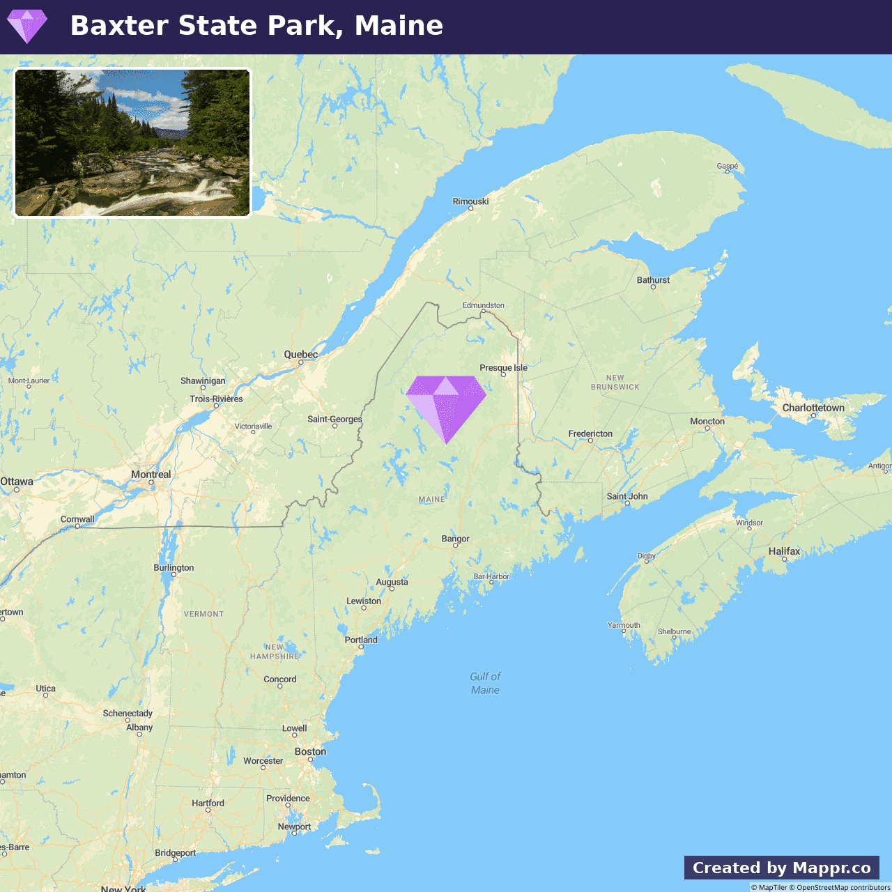
- ✈️ How to Get There: Located in north-central Maine, Baxter State Park is best accessed by car. Visitors can journey through the scenic landscapes of New England to reach this outdoor sanctuary.
- 🏨 Where to Stay: Check recommended places to stay in Baxter State Park.
28. Driftwood Beach, Jekyll Island
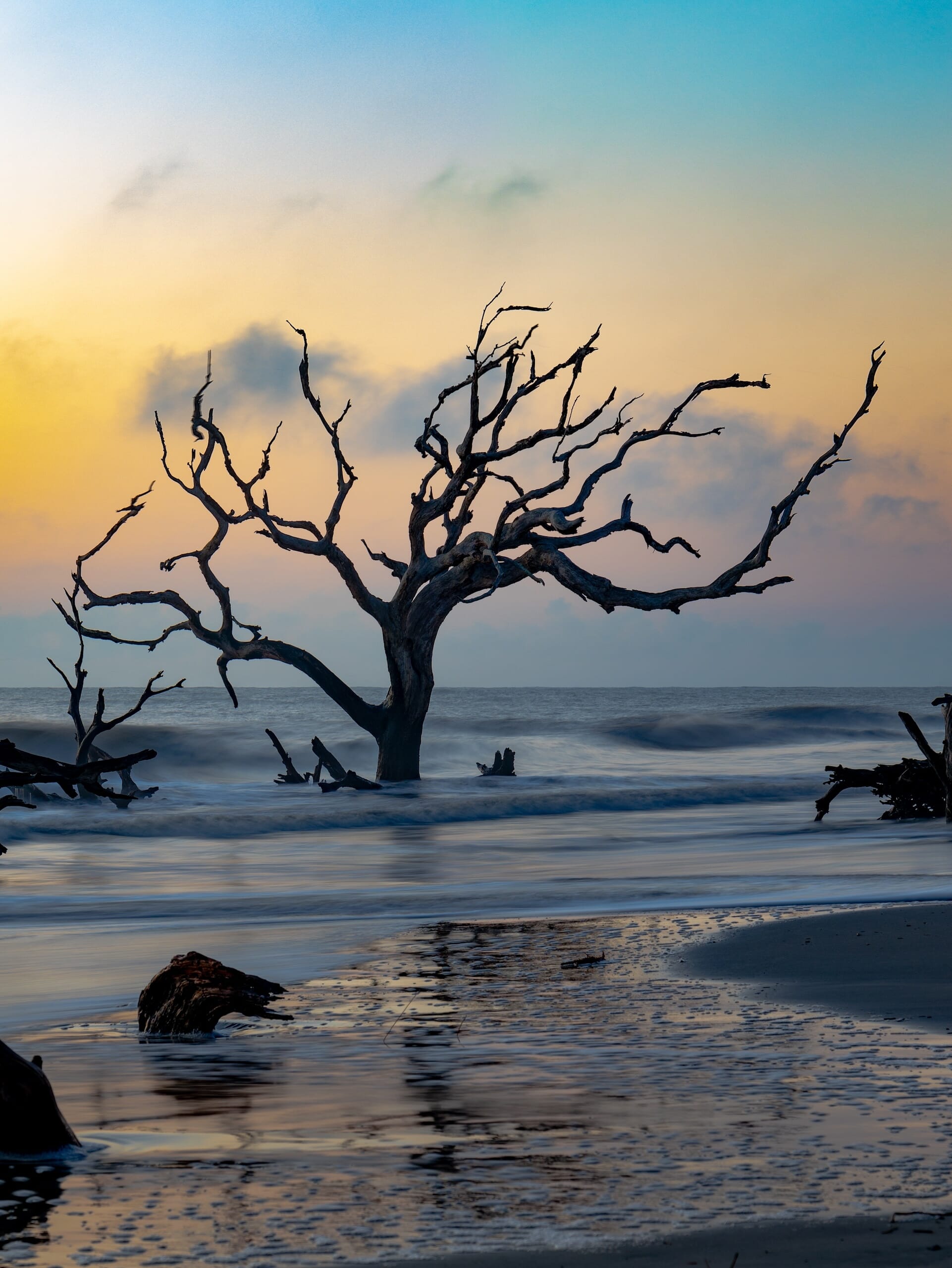
Driftwood Beach presents a hauntingly beautiful landscape that captivates photographers, romantics, and nature enthusiasts alike.
This unique shoreline is adorned with weathered driftwood and ancient tree skeletons, starkly contrasting the typical sandy beach experience.
Visitors to Driftwood Beach can explore the natural sculptures created by time and tide, making it an ideal setting for contemplative walks, sunrise observations, and memorable photography.
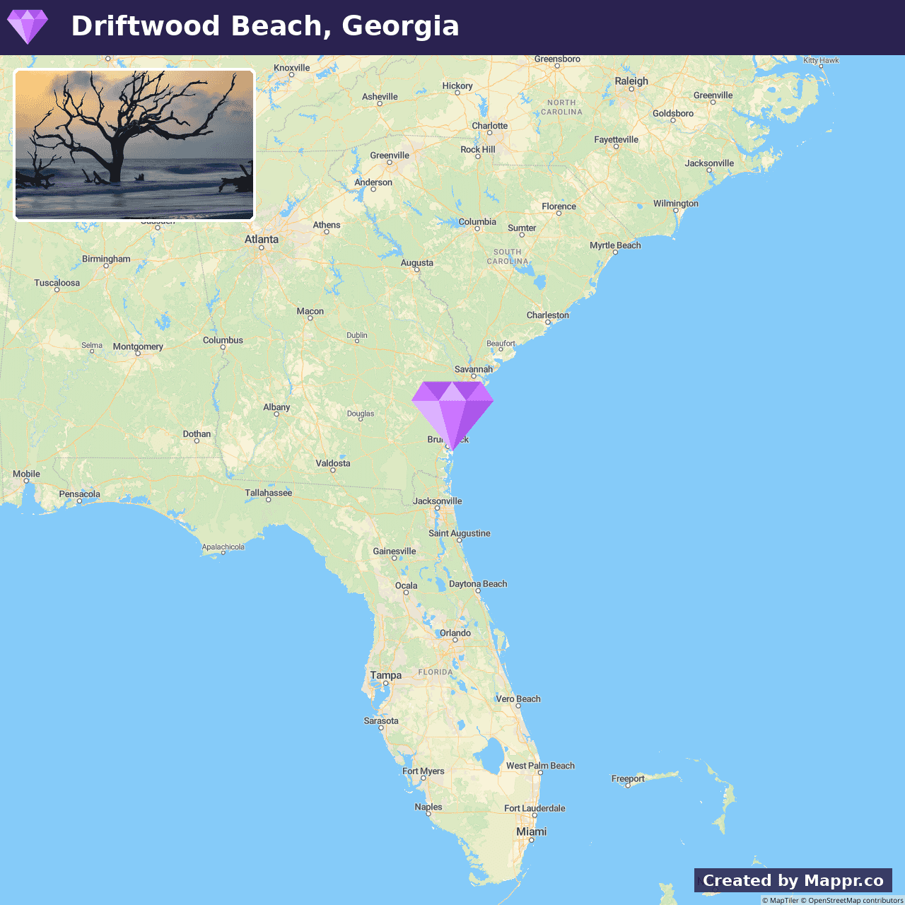
- ✈️ How to Get There: Jekyll Island is accessible by car via the Jekyll Island Causeway, making Driftwood Beach an easily reachable destination for those exploring Georgia’s Golden Isles.
- 🏨 Where to Stay: Check recommended places to stay in Driftwood Beach.
29. Garden of the Gods, Colorado
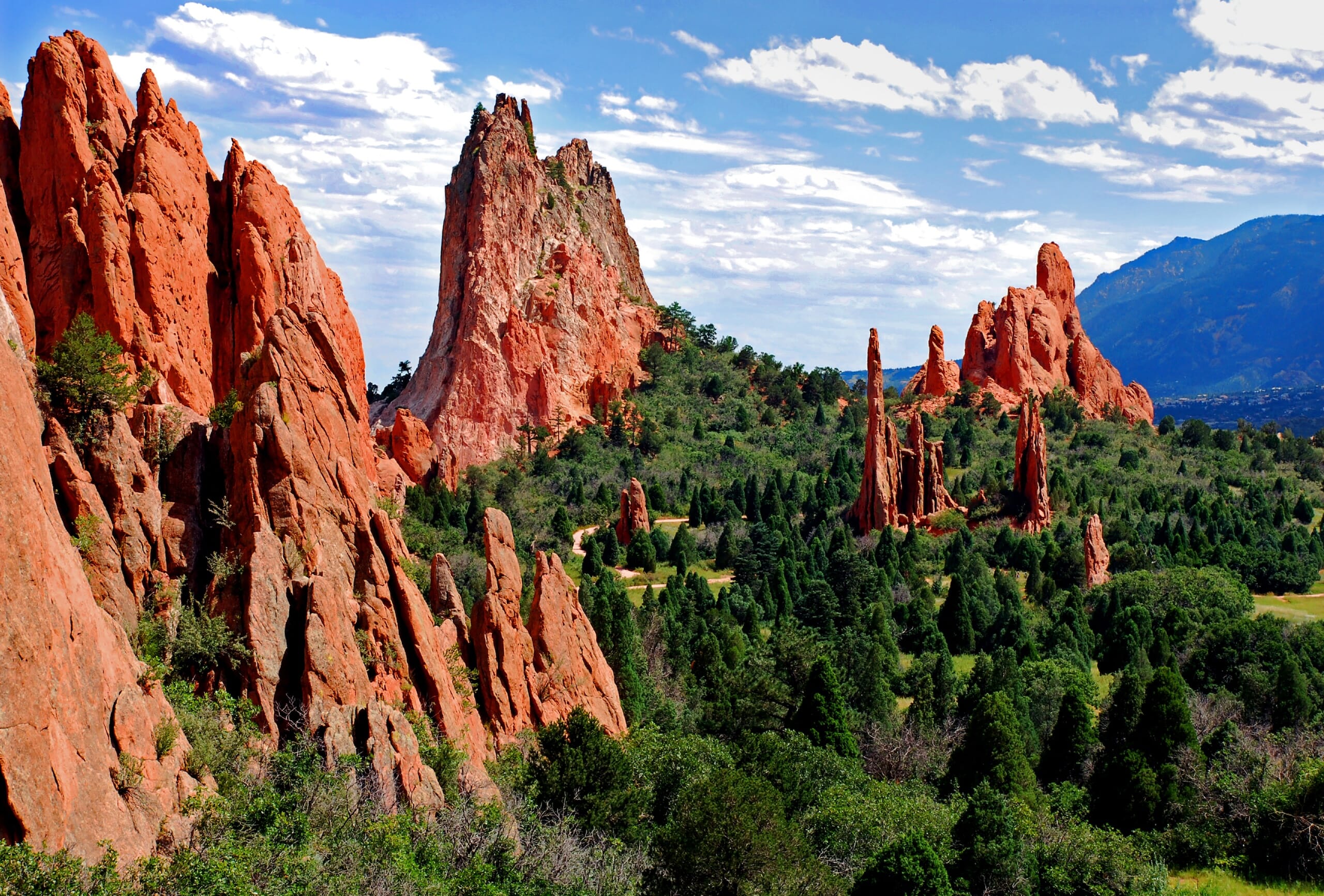
Garden of the Gods in Colorado Springs is a public park unlike any other. It features towering red rock formations against a backdrop of snow-capped Pikes Peak.
This natural landmark offers a stunning display of geological wonders, with easy trails winding through the park. Visitors of all ages and abilities can explore the magnificent scenery.
Rock climbing, hiking, and photography are popular activities in the park, known for its unique formations and iconic symbols of the American West.
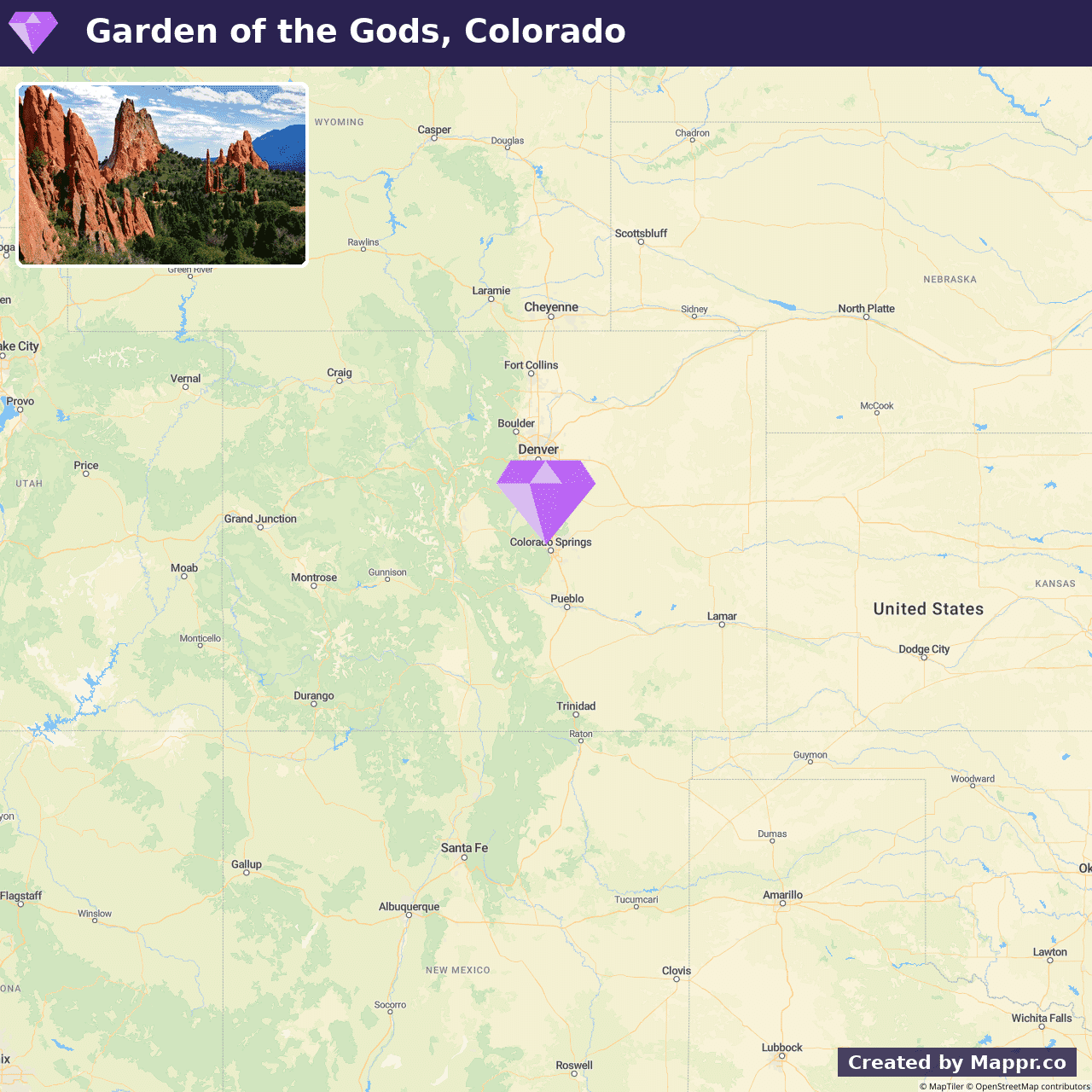
- ✈️ How to Get There: Garden of the Gods is located in Colorado Springs and is easily accessible by car, making it a must-visit destination for those traveling through the Colorado Front Range.
- 🏨 Where to Stay: Check recommended places to stay in Garden of the Gods.
30. Mackinac Island, Lake Huron
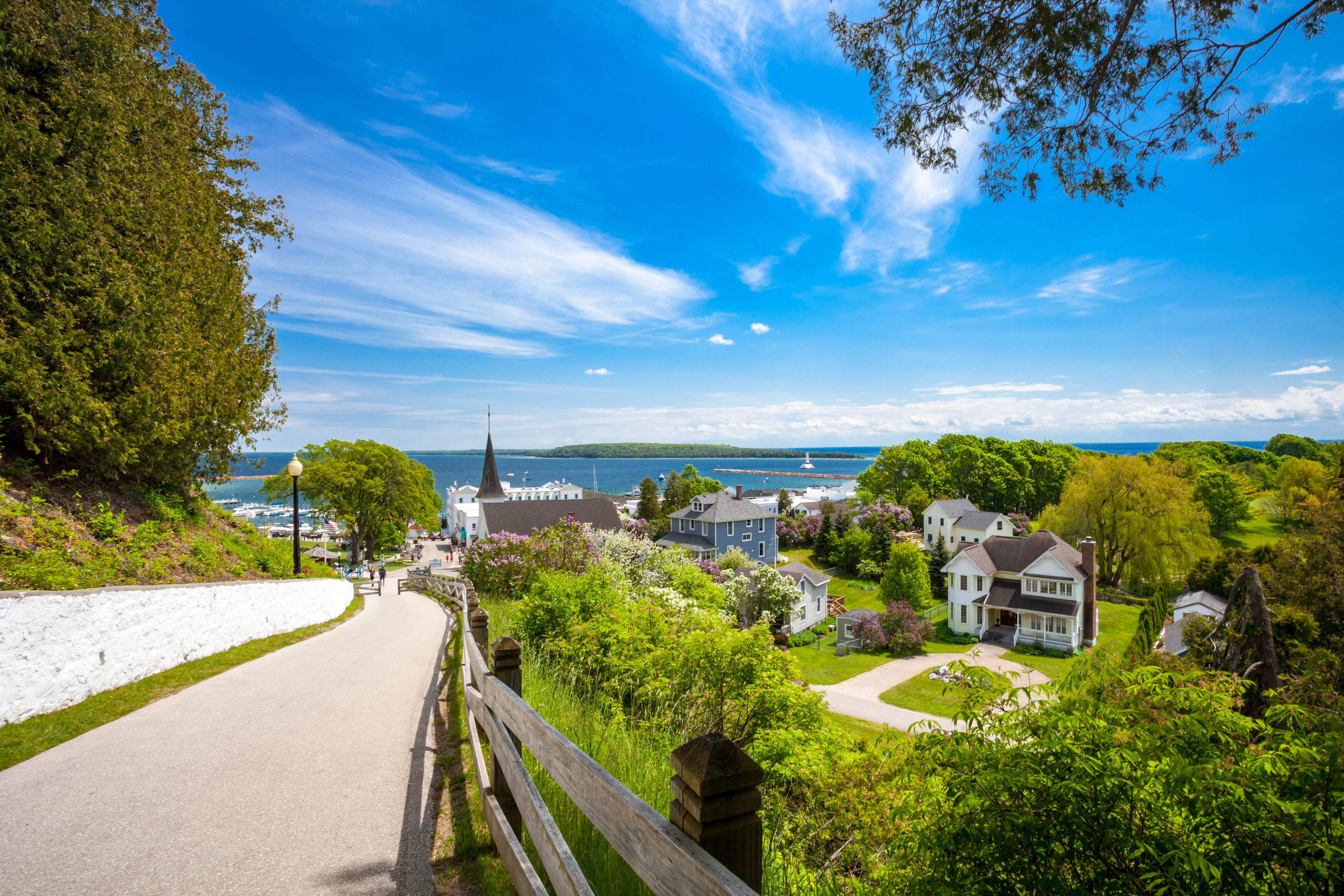
Mackinac Island is a step back in time with its ban on motor vehicles, preserved historic buildings, and fudge-scented streets.
This island offers a peaceful retreat with horse-drawn carriages, bicycle paths, and scenic trails that encourage exploration at a slower pace.
Visitors can enjoy the panoramic views from Fort Mackinac, relax in the tranquil gardens of the Grand Hotel, or enjoy the leisurely atmosphere that pervades the island.
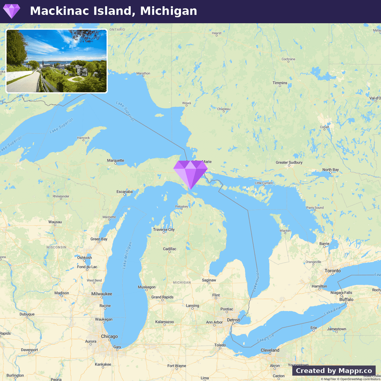
- ✈️ How to Get There: Mackinac Island is accessible by ferry from Mackinaw City or St. Ignace, with services providing a scenic passage to this tranquil island retreat.
- 🏨 Where to Stay: Check recommended places to stay in Mackinac Island.
31. Congaree National Park, South Carolina
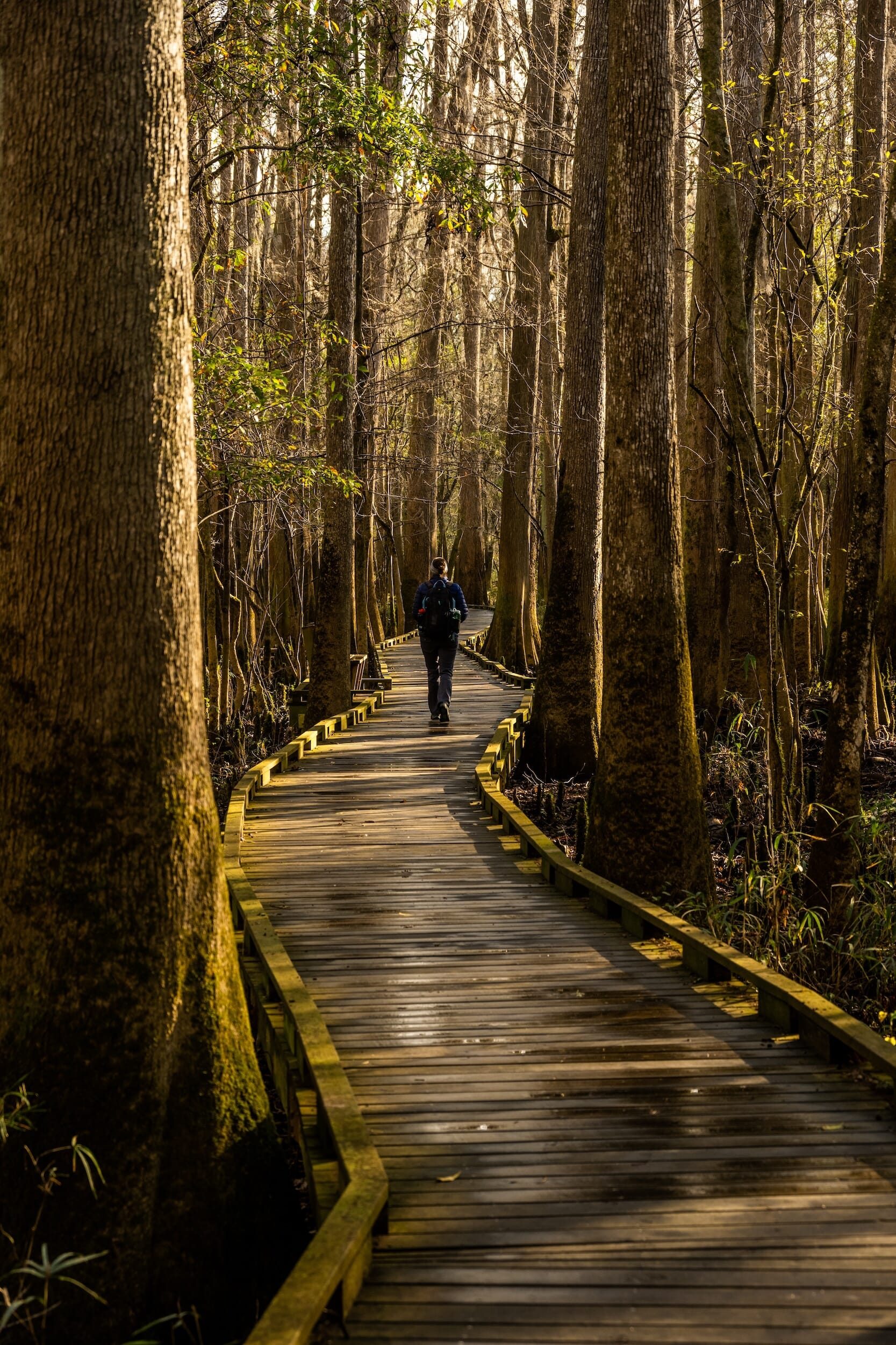
Congaree National Park is renowned for its towering canopy and rich biodiversity. It is a sanctuary for wildlife and a haven for nature lovers, offering a unique glimpse into what the landscapes of the Southeastern United States once looked like.
Summer in Congaree brings the forest to life with the sounds of birdsong, the buzz of insects, and the gentle flow of the Congaree River.
The park’s fireflies event, where thousands of fireflies synchronize their light patterns, is a summer spectacle not to be missed. It illuminates the night with natural wonder.
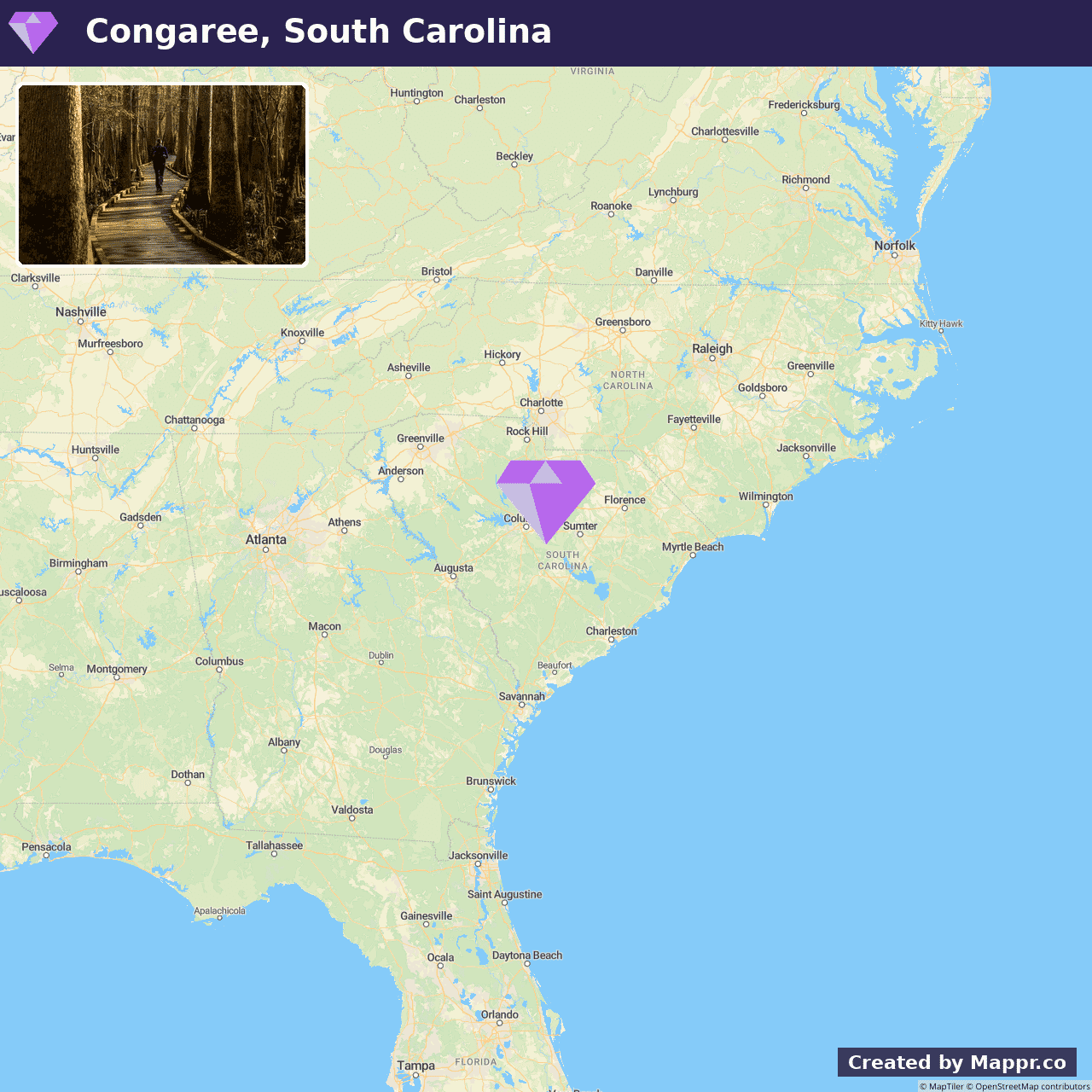
- ✈️ How to Get There: Located just a short drive from Columbia, South Carolina, Congaree National Park is easily accessible by car, inviting day-trippers and long-term explorers alike.
- 🏨 Where to Stay: Check recommended places to stay in Congaree National Park.
32. Kasha-Katuwe Tent Rocks National Monument
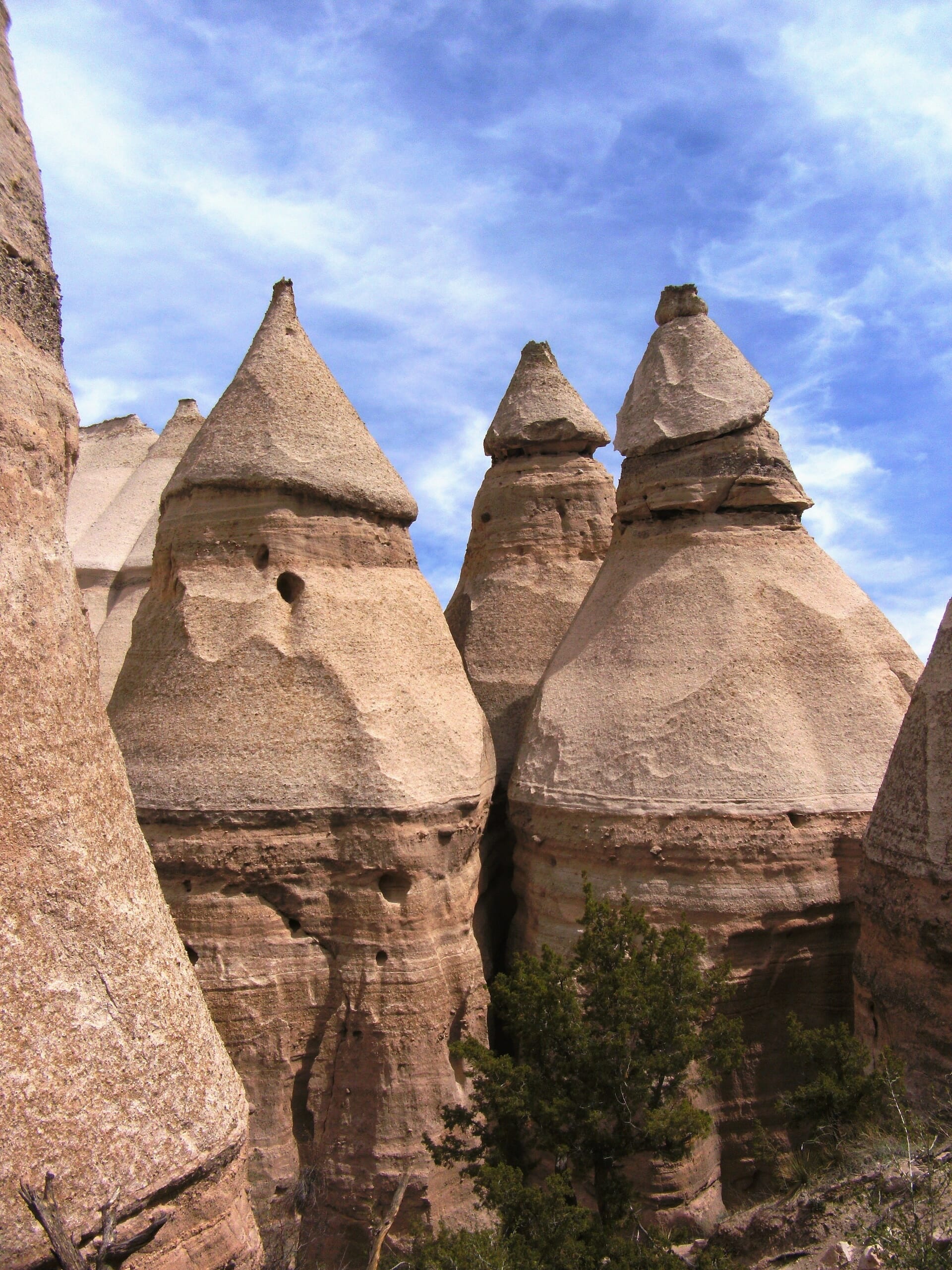
Kasha-Katuwe Tent Rocks National Monument is a remarkable outdoor museum of geological processes. It showcases cone-shaped tent rock formations that resulted from volcanic eruptions that occurred 6 to 7 million years ago.
This landscape of unique rock formations, with their banded layers of ash and tuff, creates an almost otherworldly hiking experience.
The monument’s trails wind through narrow canyons and lead to vantage points with panoramic views of the surrounding Sangre de Cristo, Jemez, and Sandia mountains, along with the Rio Grande Valley.
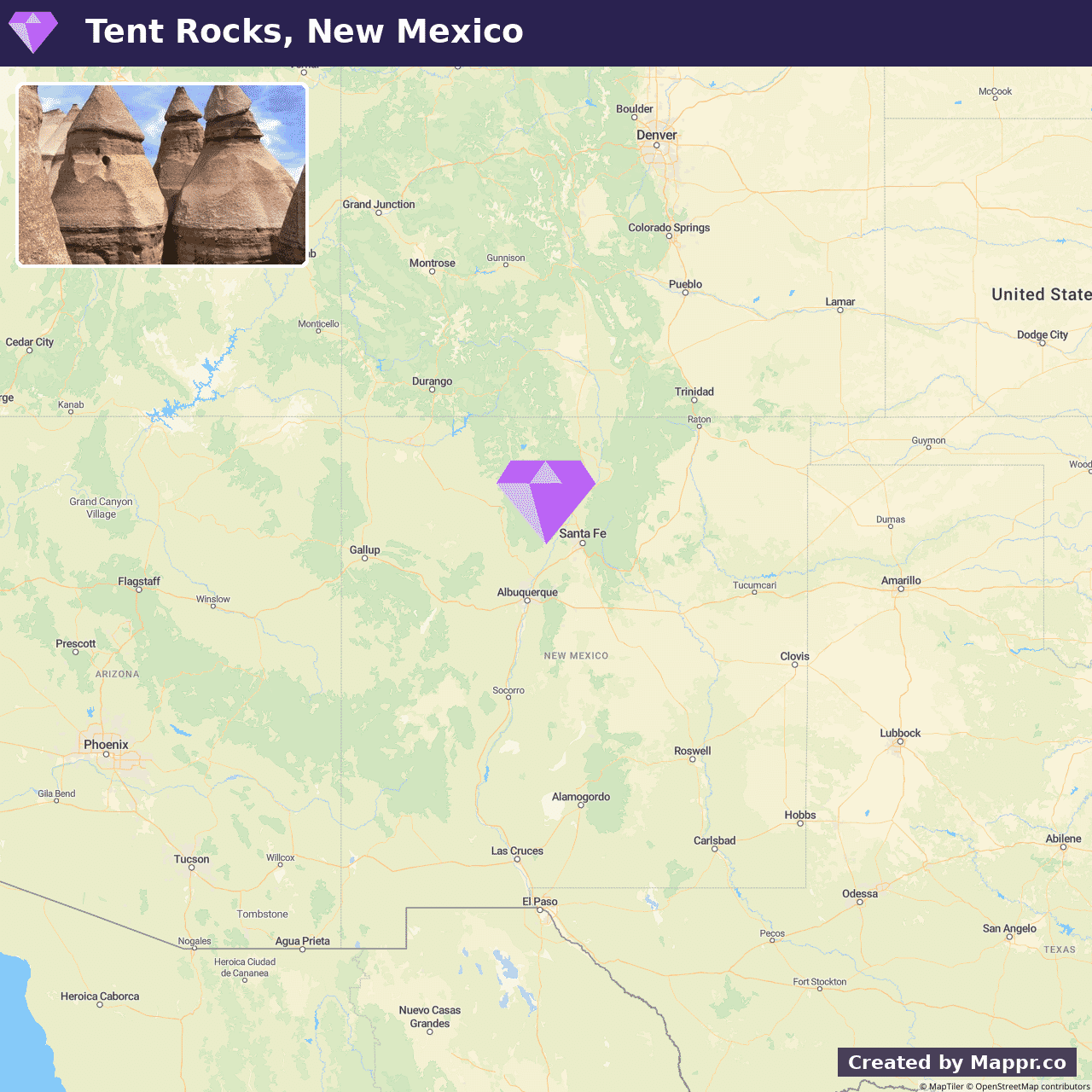
- ✈️ How to Get There: The monument is accessible via a short drive from Santa Fe or Albuquerque, making it an easy addition to any New Mexico travel itinerary.
- 🏨 Where to Stay: Check recommended places to stay in Kasha-Katuwe Tent Rocks National Monument.
33. Bryce Canyon National Park, Utah
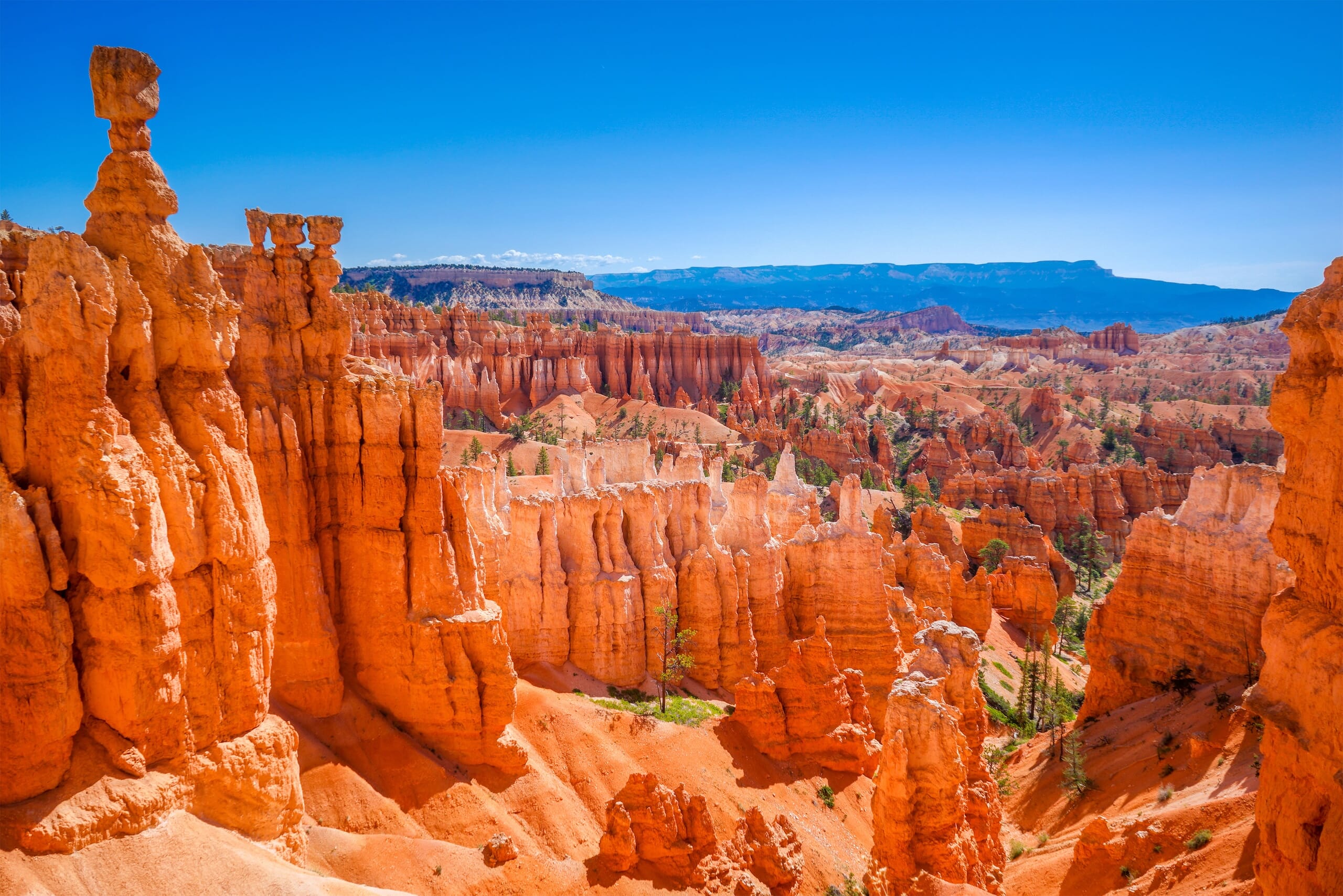
Bryce Canyon National Park is famed for its sprawling amphitheaters filled with Hoodoos and spire-shaped rock formations created by frost weathering and erosion.
The park’s landscape is a symphony of color, with shades of red, orange, and white painting a breathtaking natural canvas.
Visitors to Bryce Canyon can explore the park’s wonders along its scenic overlooks and extensive trail system, which range from easy walks to rigorous hikes.
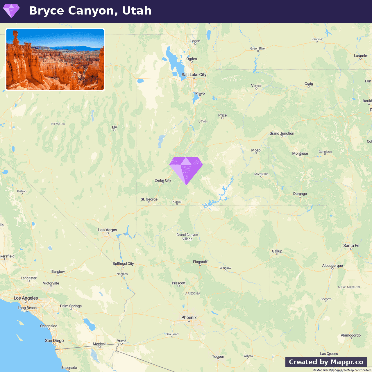
- ✈️ How to Get There: Bryce Canyon is a scenic drive away from major cities in the Southwest, including Las Vegas and Salt Lake City, providing a stunning journey through the heart of the American West.
- 🏨 Where to Stay: Check recommended places to stay in Bryce Canyon National Park.
This guide is part of our hidden gems travel guides, mapping underrated places to visit country by country.
What are the best hidden gems in the USA?
Beyond the big national parks and cities, the US hides places like Havasu Falls in Arizona, the Apostle Islands in Wisconsin, and small towns from Appalachia to the Pacific Northwest. Our map covers 36 across the country.
When is the best time to visit the USA’s hidden gems?
It depends on the region: the desert Southwest is best in spring and autumn, the mountains and lakes in summer, and the South in the cooler months. The US is a continent, so plan around the specific area you are visiting.
How do you get around the USA?
Distances are huge, so most trips combine a flight into a regional hub with a rental car, which is essential for reaching the more remote gems. Major gateways include New York, Los Angeles, Chicago and Denver.
How many days do you need for a US road trip?
A week is enough for one region, such as the Southwest or the Pacific Northwest. Crossing the country or linking several regions on this list is better as a two-week-plus road trip.
Sources:
34. Isle Royale, Michigan
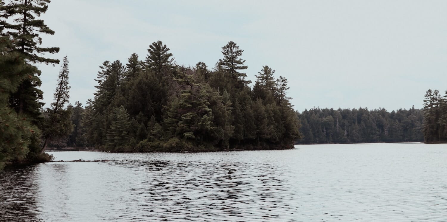
The least-visited big national park in the Lower 48, Isle Royale is a 45-mile-long wilderness archipelago in the far reaches of Lake Superior, reachable only by ferry (from Copper Harbor MI or Grand Portage MN) or seaplane. Roughly 20,000 people visit all summer, versus 4.5 million at Yellowstone.
The park closes entirely from November to mid-April, and the summer season (May to October) is backpacker-heavy but never crowded. Wolves and moose have coexisted here longer than at any other study site on the planet, and the Greenstone Ridge Trail is a legitimate multi-day backpack for solitude seekers.
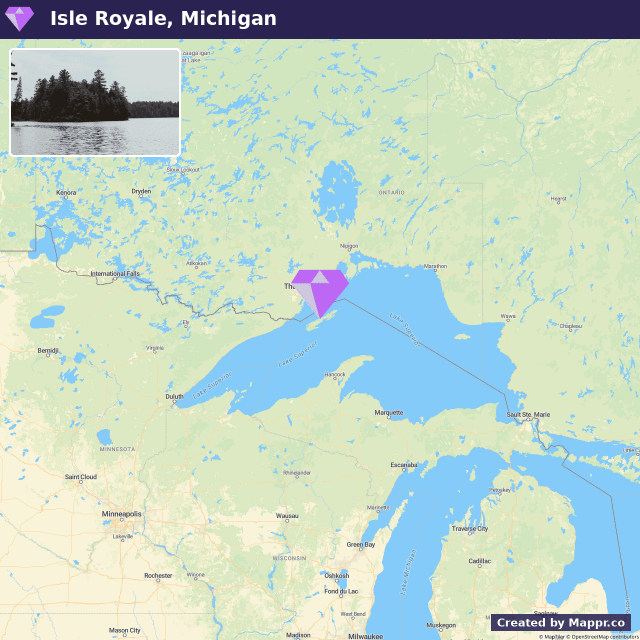
- ✈️ How to Get There: Access by Minneapolis-Saint Paul (MSP) or Marquette (MQT), then ferry from Grand Portage MN, Copper Harbor MI, or Houghton MI. Sailings limited; book well in advance.
- 🏨 Where to Stay: Check recommended places to stay in Isle Royale.
35. Kings Canyon, California
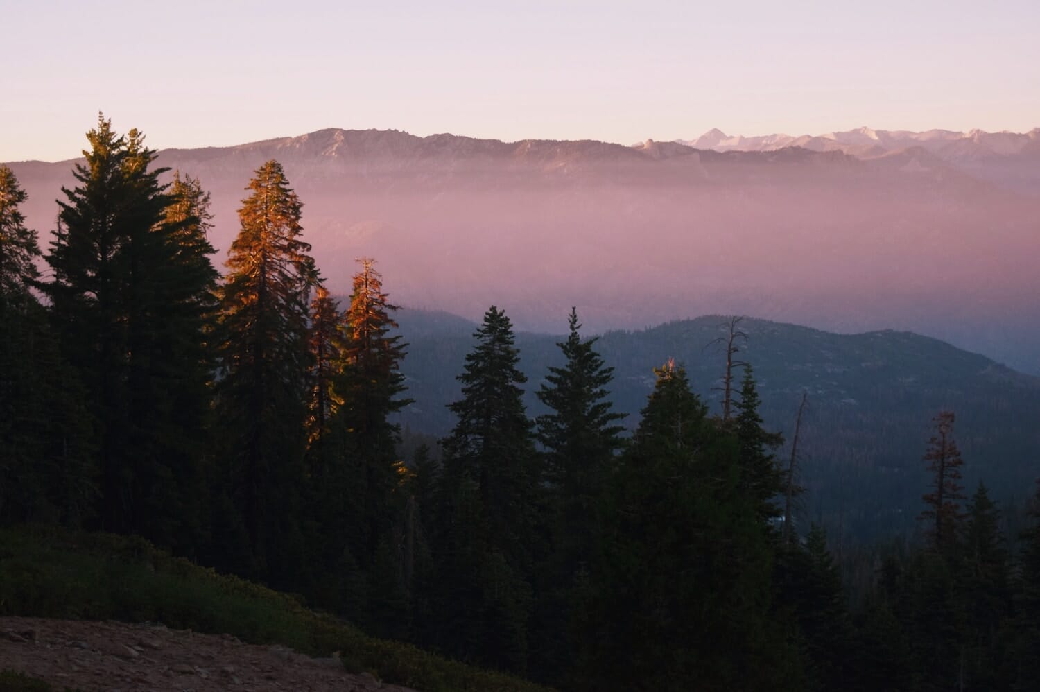
The Yosemite-alternative story this summer. Kings Canyon National Park sits immediately south of Yosemite and Sequoia and offers the same granite drama, giant sequoia groves (General Grant, over 3,000 years old) and glacier-carved gorge scenery, without Yosemite’s post-reservation-cancellation crowds.
The Cedar Grove area is only open May to November (Highway 180 closes in winter) and is one of the most spectacular scenic drives in the West, dropping into the deepest canyon in North America. Zumwalt Meadow, Roaring River Falls and the Rae Lakes Loop start here.
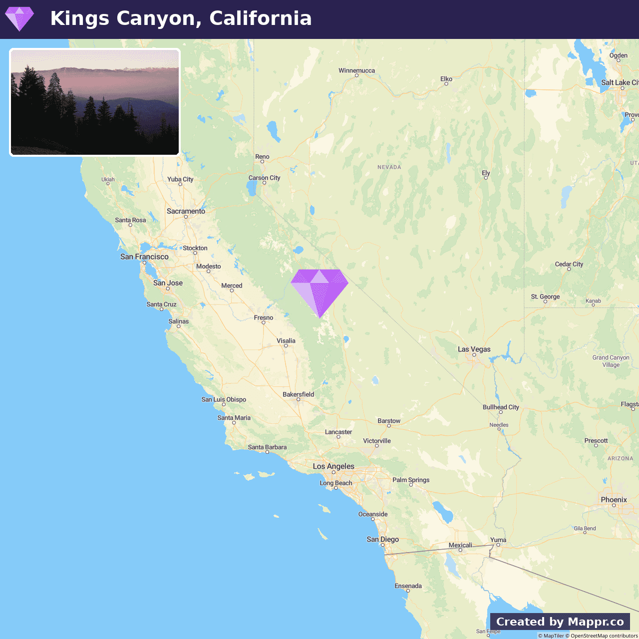
- ✈️ How to Get There: Fresno Yosemite (FAT) is the closest airport (~90 minutes to Grant Grove), with Los Angeles (LAX) a longer four-hour drive. No reservation system required for park entry.
- 🏨 Where to Stay: Check recommended places to stay in Kings Canyon.
36. Cowpens, South Carolina
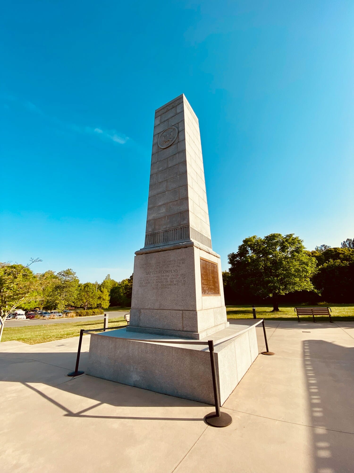
The America 250 tie-in on this list. Cowpens National Battlefield preserves the site of the January 1781 battle that broke the British Southern Campaign, a tactical masterwork by Daniel Morgan that turned the Revolutionary War toward Yorktown. As the country marks 250 years since 1776, the big-name Revolutionary sites (Independence Hall, Yorktown, Boston) are drawing record crowds. Cowpens gets a fraction of the visitors and tells arguably the better military story.
A one-hour battlefield loop drive plus a two-mile walking trail through the battlefield itself. The July 4 events include Revolutionary War living history and reenactments. Best in shoulder season (spring, fall) but summer holds up well because most America 250 pilgrims concentrate on the Northeast.
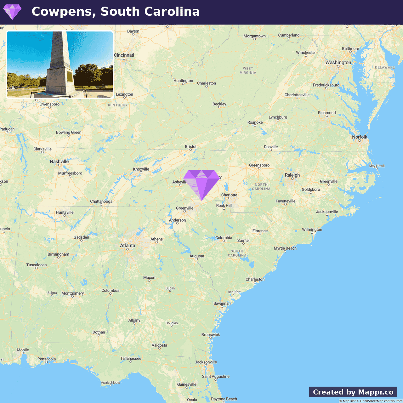
- ✈️ How to Get There: Greenville-Spartanburg (GSP) is 20 minutes away; Charlotte Douglas (CLT) is a 90-minute drive north.
- 🏨 Where to Stay: Check recommended places to stay in Cowpens.
Final Thoughts
Venturing into these hidden gems reveals the diverse tapestry of natural beauty across the United States, from serene lakeshores to dramatic canyons.
These destinations offer a perfect blend of adventure, tranquility, and the opportunity to connect with nature in its purest form, making them ideal for your summer exploration list.
Most travellers reach the United States’ hidden gems by flying into one of its main international gateways, big hubs like New York (JFK), Los Angeles (LAX), Chicago (ORD) and Miami (MIA). From there it’s a short domestic hop, train or drive to the spots on this list. For every major airport, where they are and which destinations they serve, see our guide to the major airports in the United States.