Download free, printable blank maps of Kentucky — a clean state outline plus all 120 counties , in several styles. Great for teachers, students and quizzes. Every map is free to download and print.
🗺️
Prefer an interactive, detailed map? Explore the
Kentucky Counties Map with every county shown in full detail.
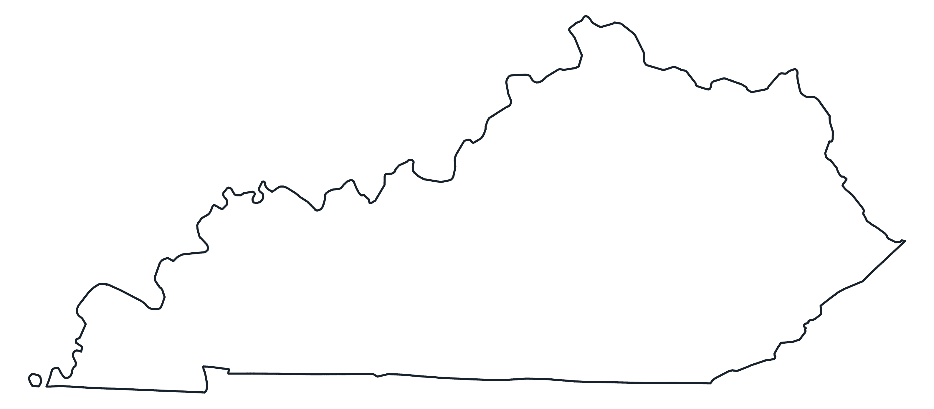
Blank Outline Map of Kentucky
A plain blank outline of Kentucky — just the state border, ready to label or fill in.
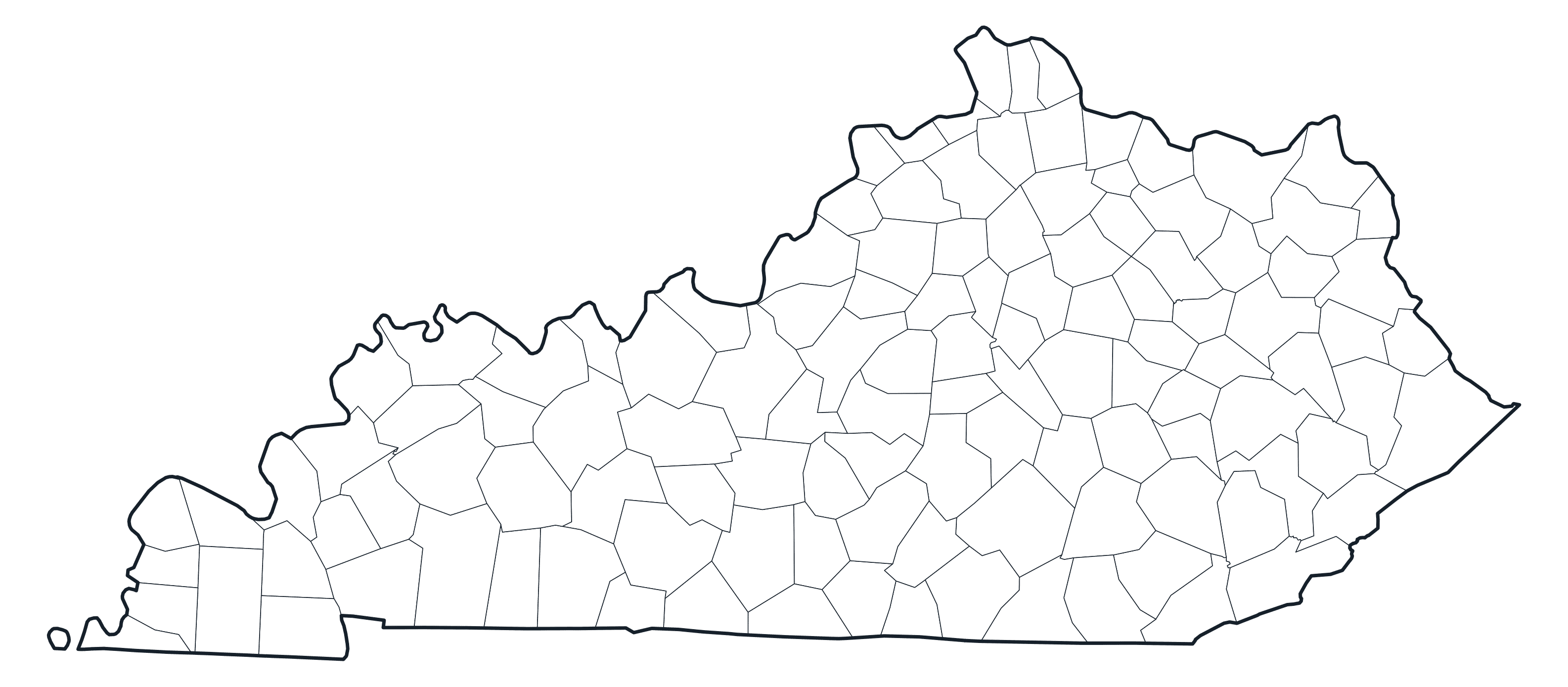
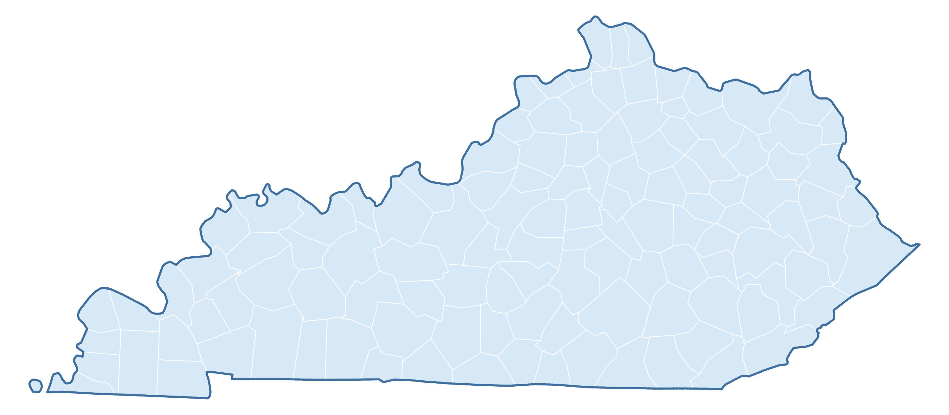
Kentucky County Map
All of Kentucky’s counties outlined with no names — the classic blank county map.
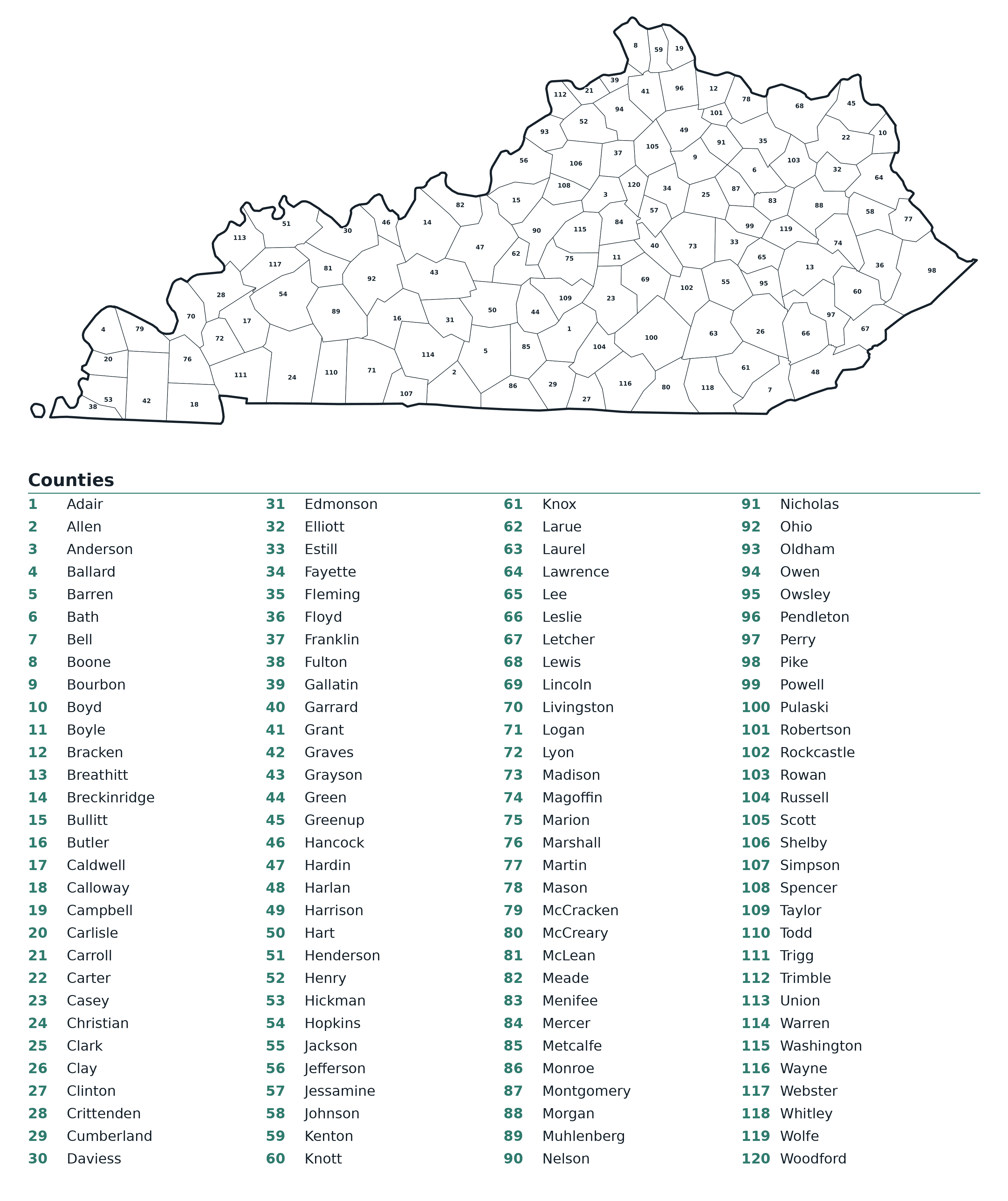
Labeled County Map of Kentucky
Every county of Kentucky numbered, with a full key naming each one.
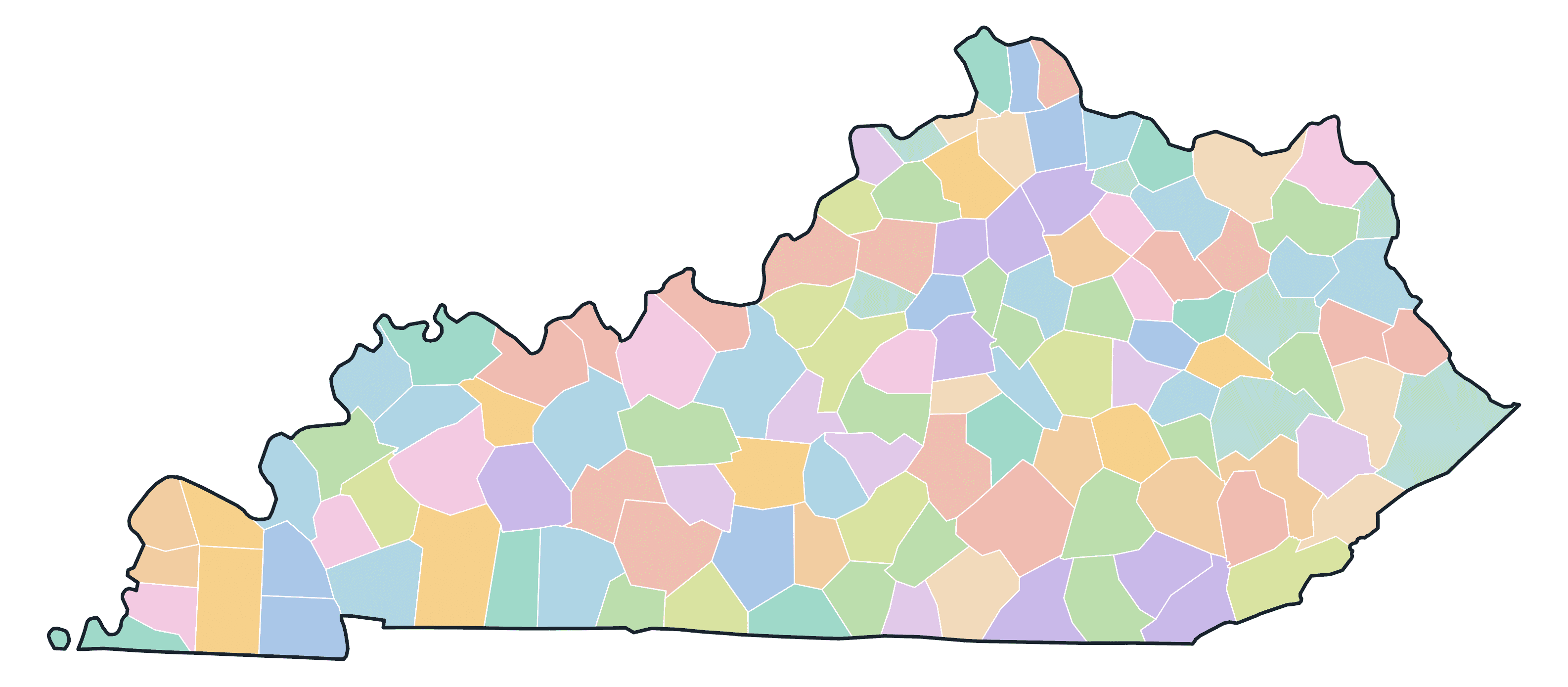
Colored County Map of Kentucky
Each county of Kentucky in its own colour — handy for study aids.
Blank Practice Map of Kentucky
A blind county map of Kentucky — test yourself by filling in the names.
Download & Print
All maps above are free for personal and classroom use. The print-ready PDF below prints crisply on A4 or US Letter paper.
US States Blank Maps
Free printable blank maps of all 50 US states — each with a clean state outline plus its counties, in outline, county-border,…
Oregon Blank Maps
Download free, printable blank maps of Oregon — a clean state outline plus all 36 counties, in several styles. Great for…
Nevada Blank Maps
Download free, printable blank maps of Nevada — a clean state outline plus all 17 counties, in several styles. Great for…
Wisconsin Blank Maps
Download free, printable blank maps of Wisconsin — a clean state outline plus all 72 counties, in several styles. Great for…
South Dakota Blank Maps
Download free, printable blank maps of South Dakota — a clean state outline plus all 66 counties, in several styles. Great for…
Washington Blank Maps
Download free, printable blank maps of Washington — a clean state outline plus all 39 counties, in several styles. Great for…