Download free, printable blank maps of United Kingdom in several styles — plain outlines, nation-border maps, labeled reference versions, and colorable practice maps. Perfect for teachers, students, geography quizzes, and anyone who needs a clean outline map of United Kingdom. Every map is free to download and print.
🗺️ Prefer an interactive map? Explore the detailed United Kingdom Admin Map.
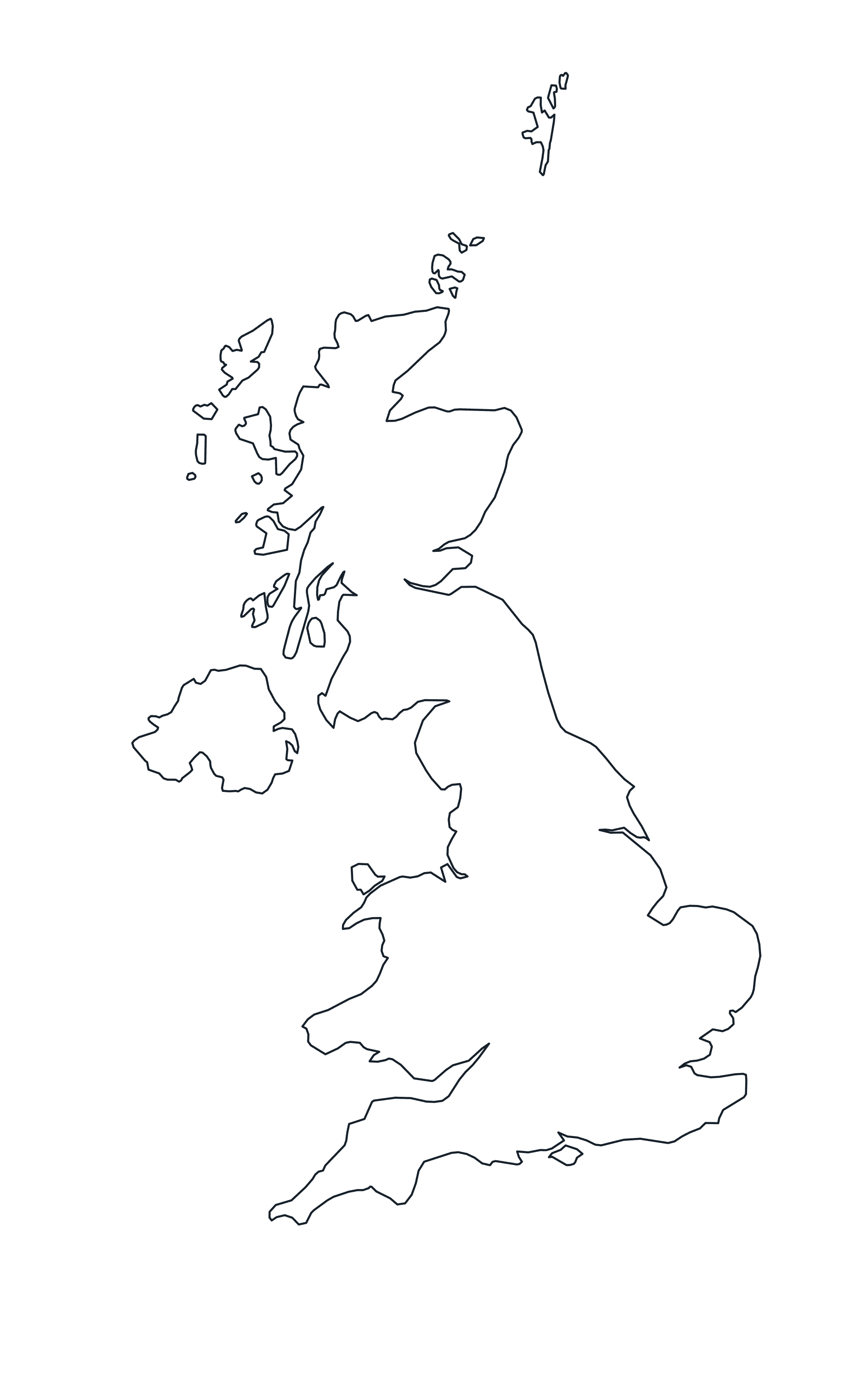
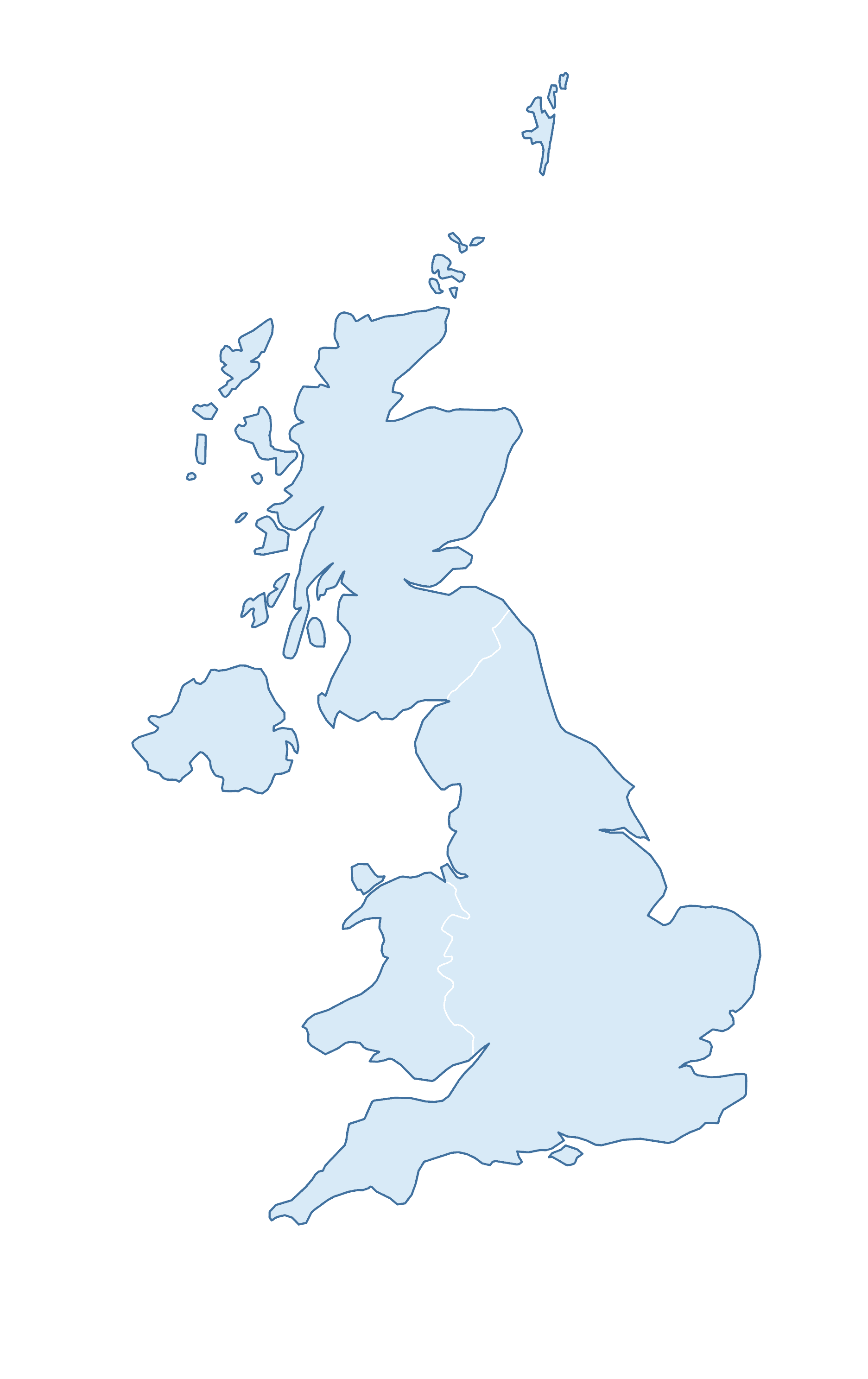
Blank Outline Map of United Kingdom
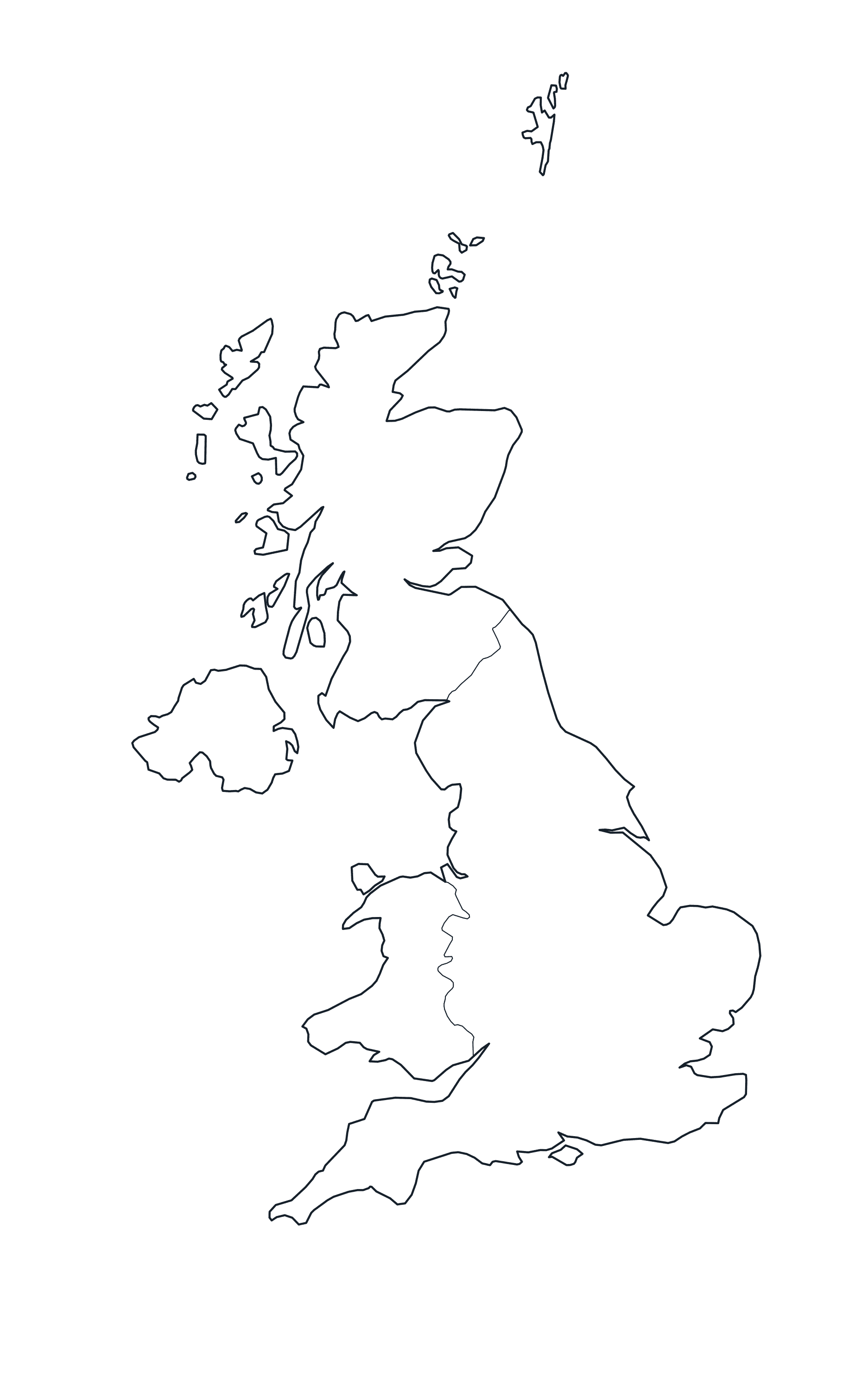
United Kingdom Map with nation Borders
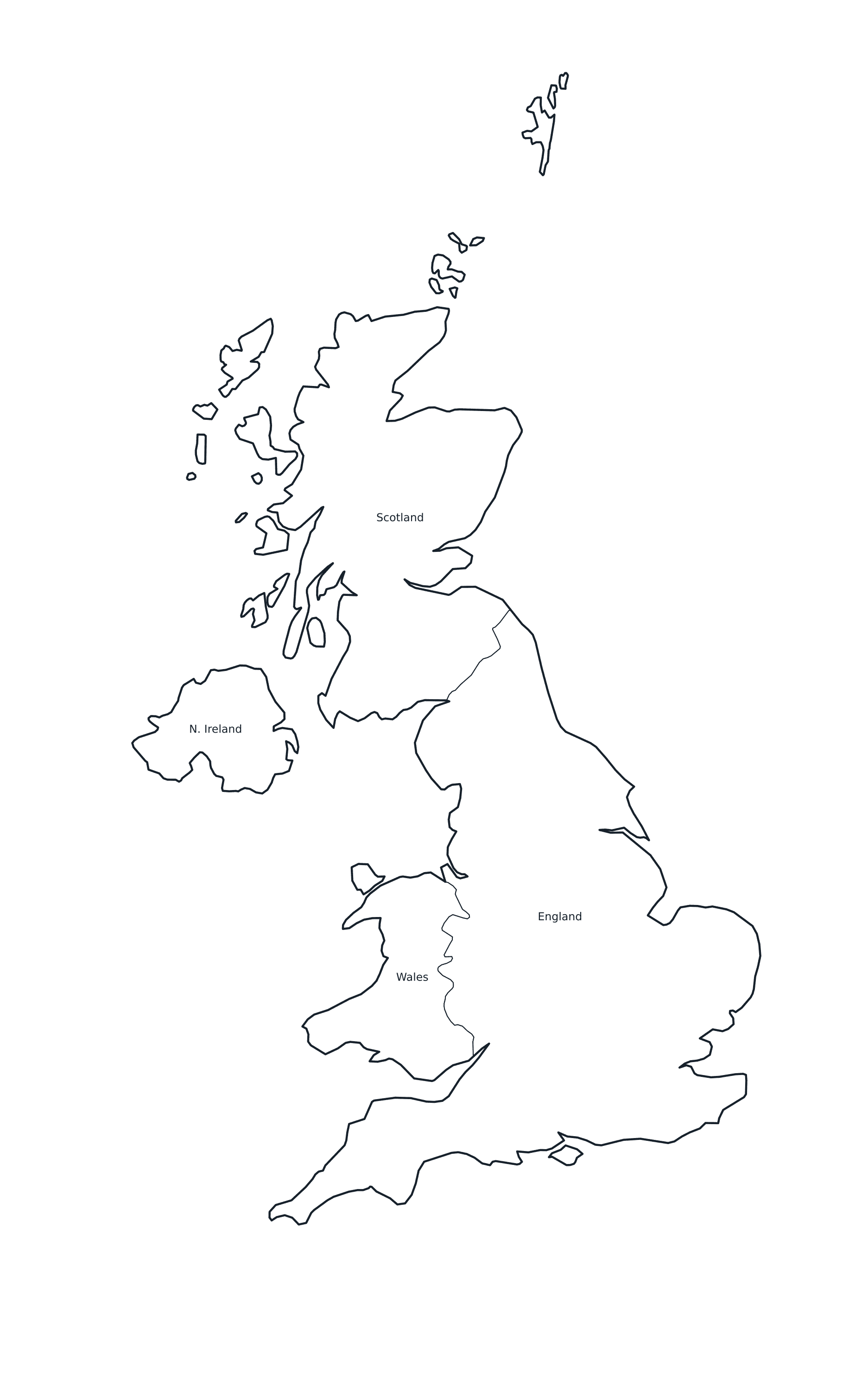
Labeled Map of United Kingdom
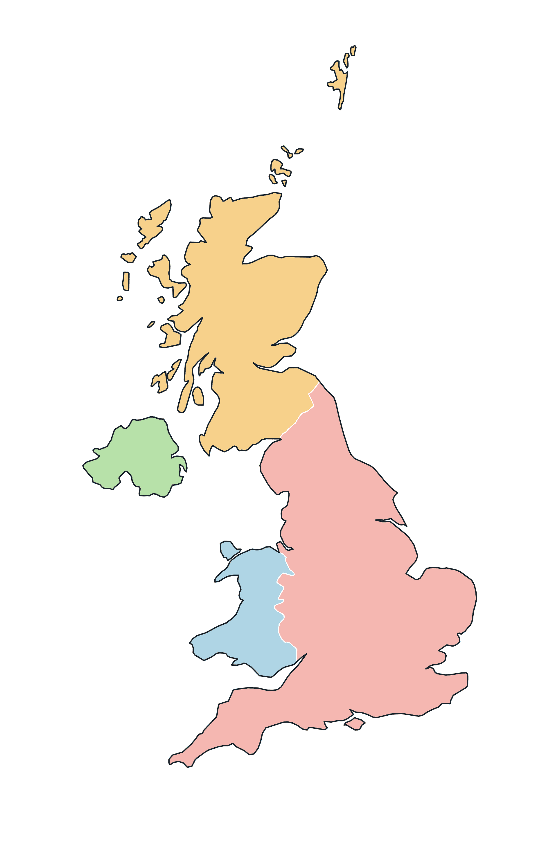
Colored Map of United Kingdom
Blank Practice Map of United Kingdom
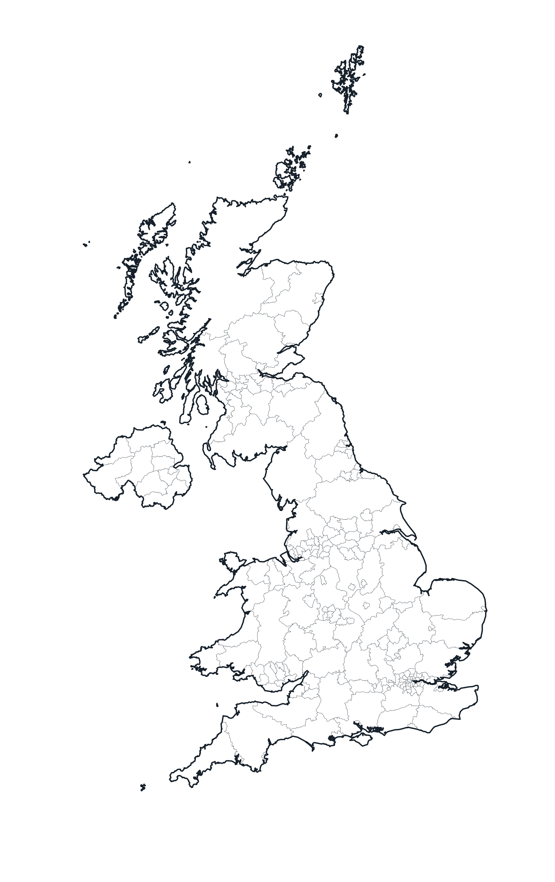
United Kingdom Map with Districts (Admin Level 2)
For more detail, here is the United Kingdom mapped at its second administrative level — its districts (216 in total). These show every boundary, with no names.
Districts Borders Map
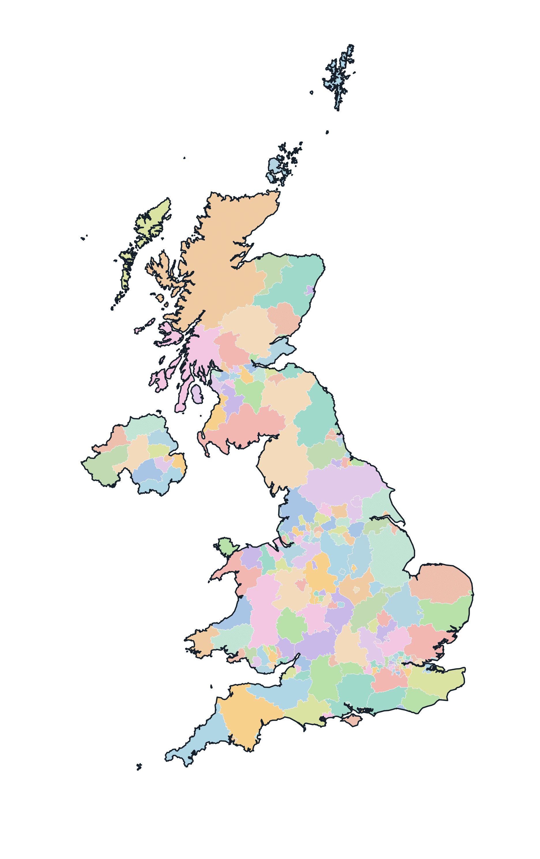
Colored Districts Map
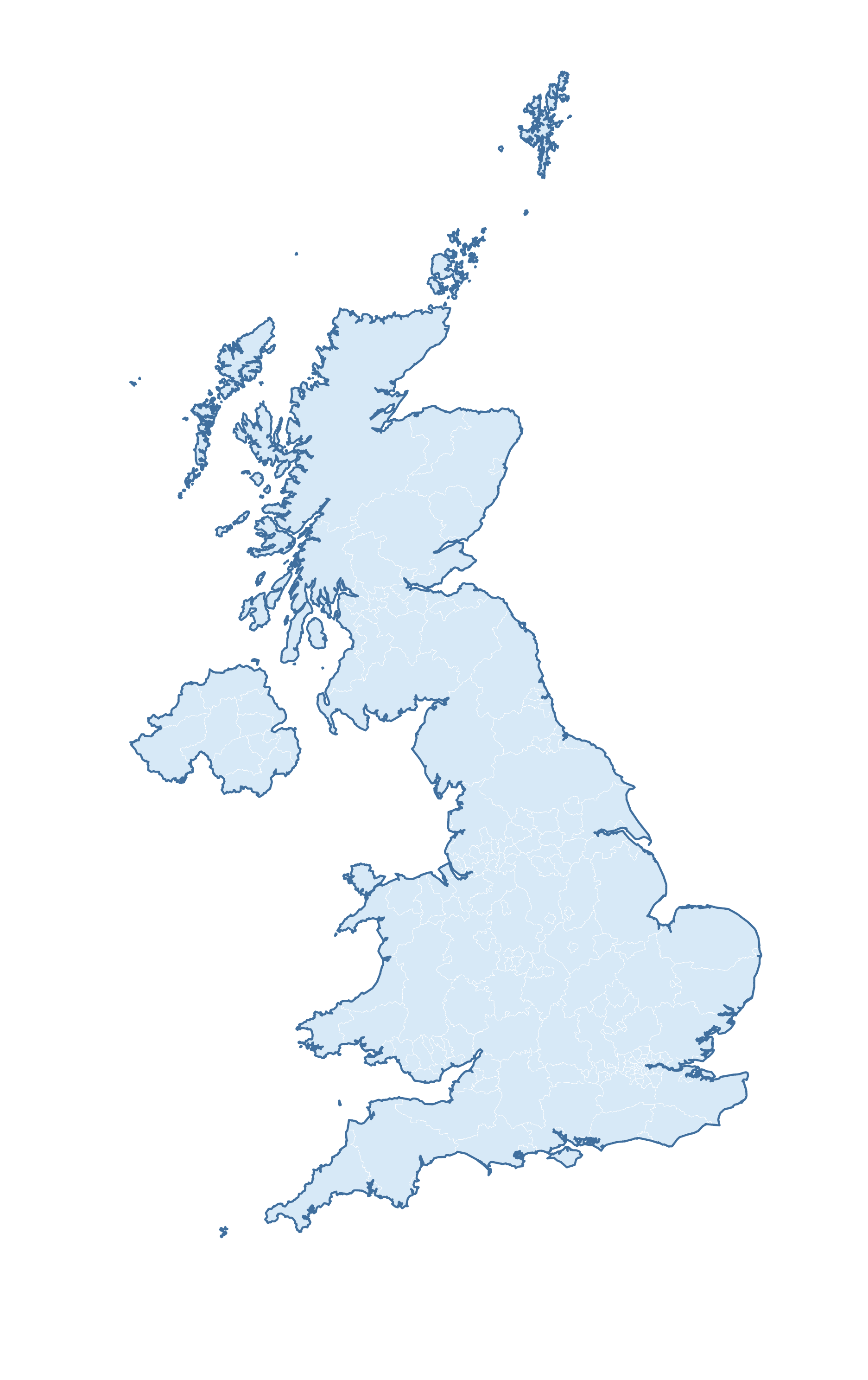
Blank Practice Districts Map
Download & Print
All of the maps above are free for personal and classroom use. Grab the print-ready PDF below — it prints crisply on standard A4 or US Letter paper.
🌍 More maps & data for United Kingdom
- Major airports in United Kingdom
- Most active airlines in United Kingdom
- United Kingdom country profile
- Capital of United Kingdom
Browse more: All airports by country · All airlines by country


