Algeria Country Maps
Algeria's Position on the Global Map
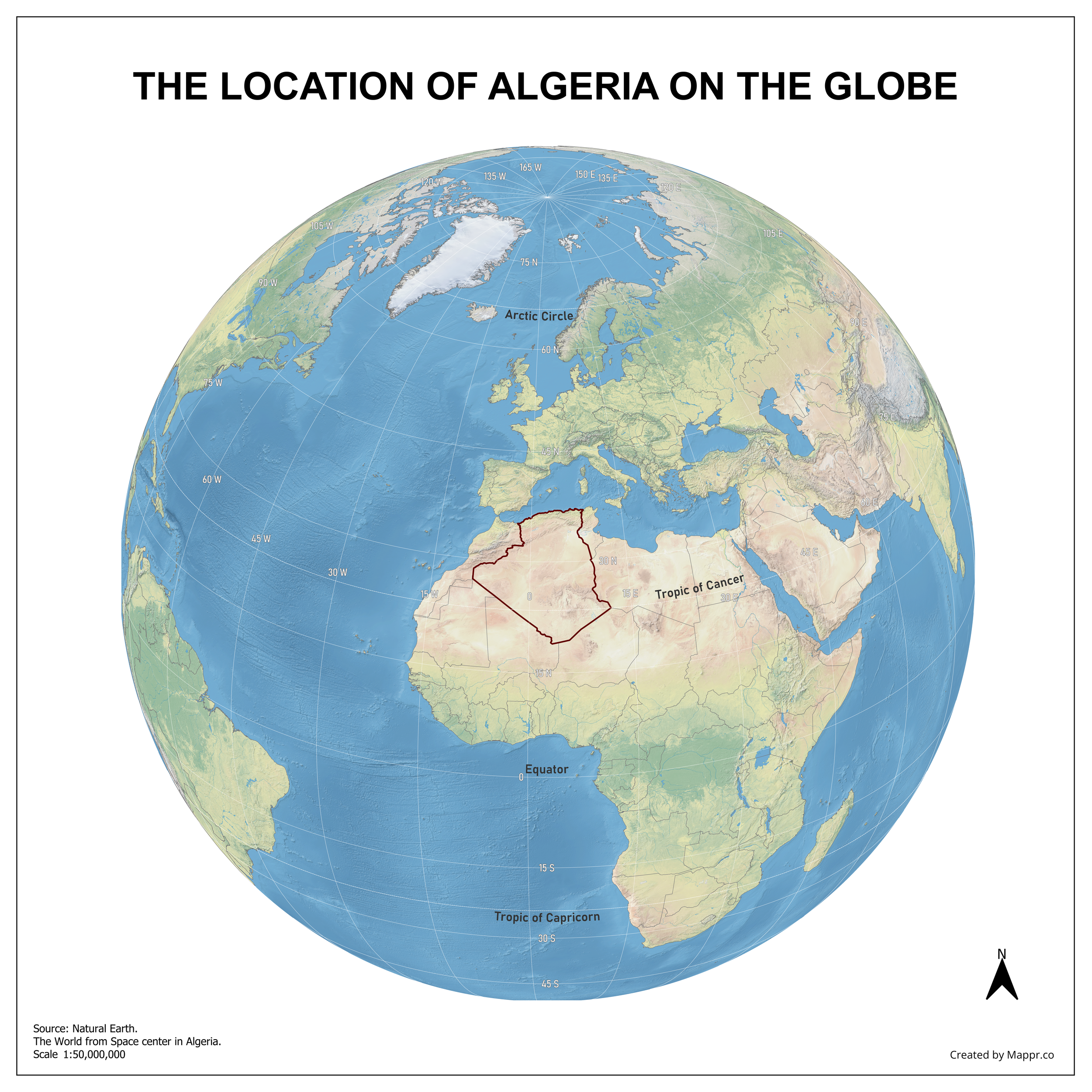
Algeria Country Location Globe - Color
A map highlighting Algeria's location on a globe, marked with a red outline on the African continent.
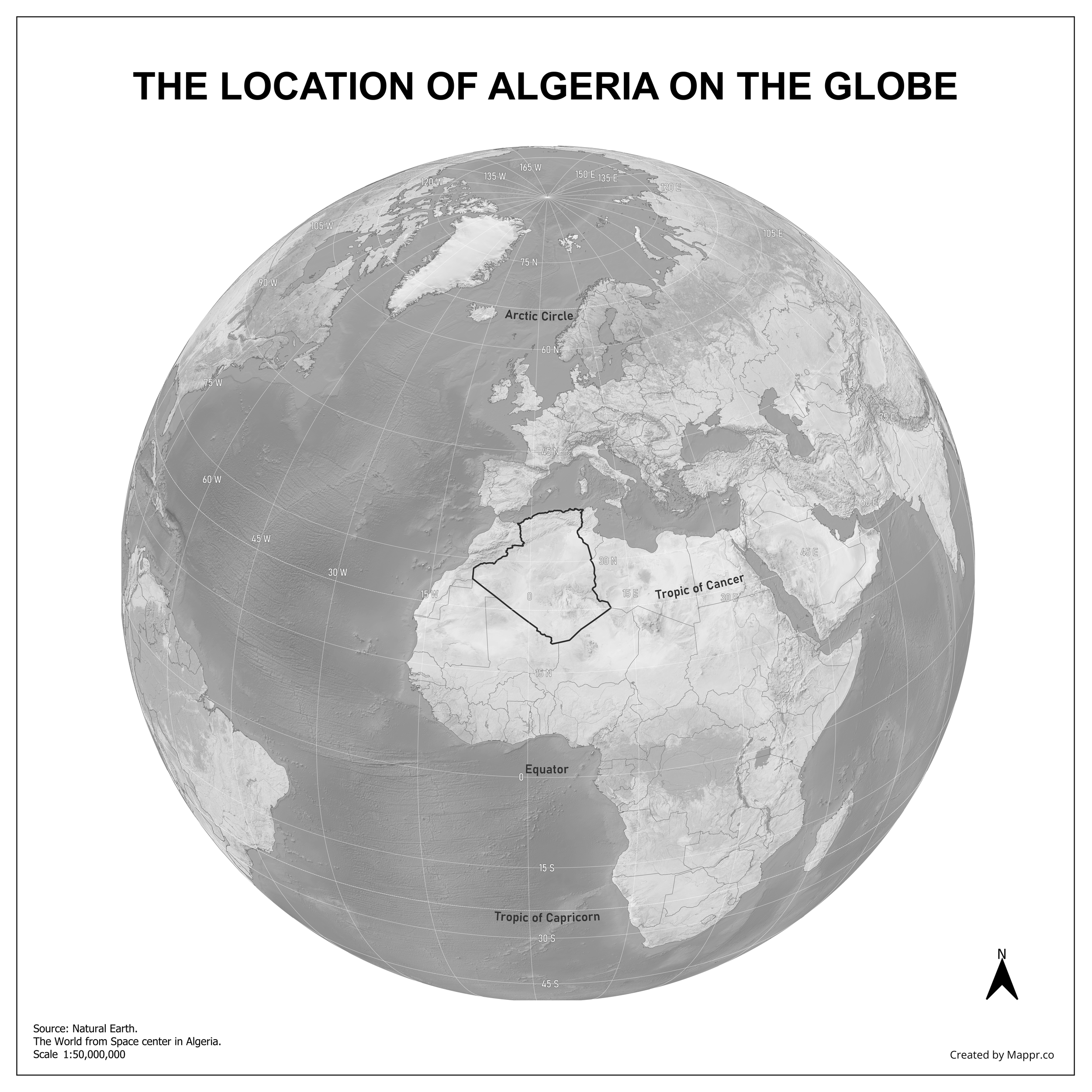
Algeria's Position on the Global Map - Black & White
A black and white globe highlighting Algeria's location, showcasing its position on the African continent.
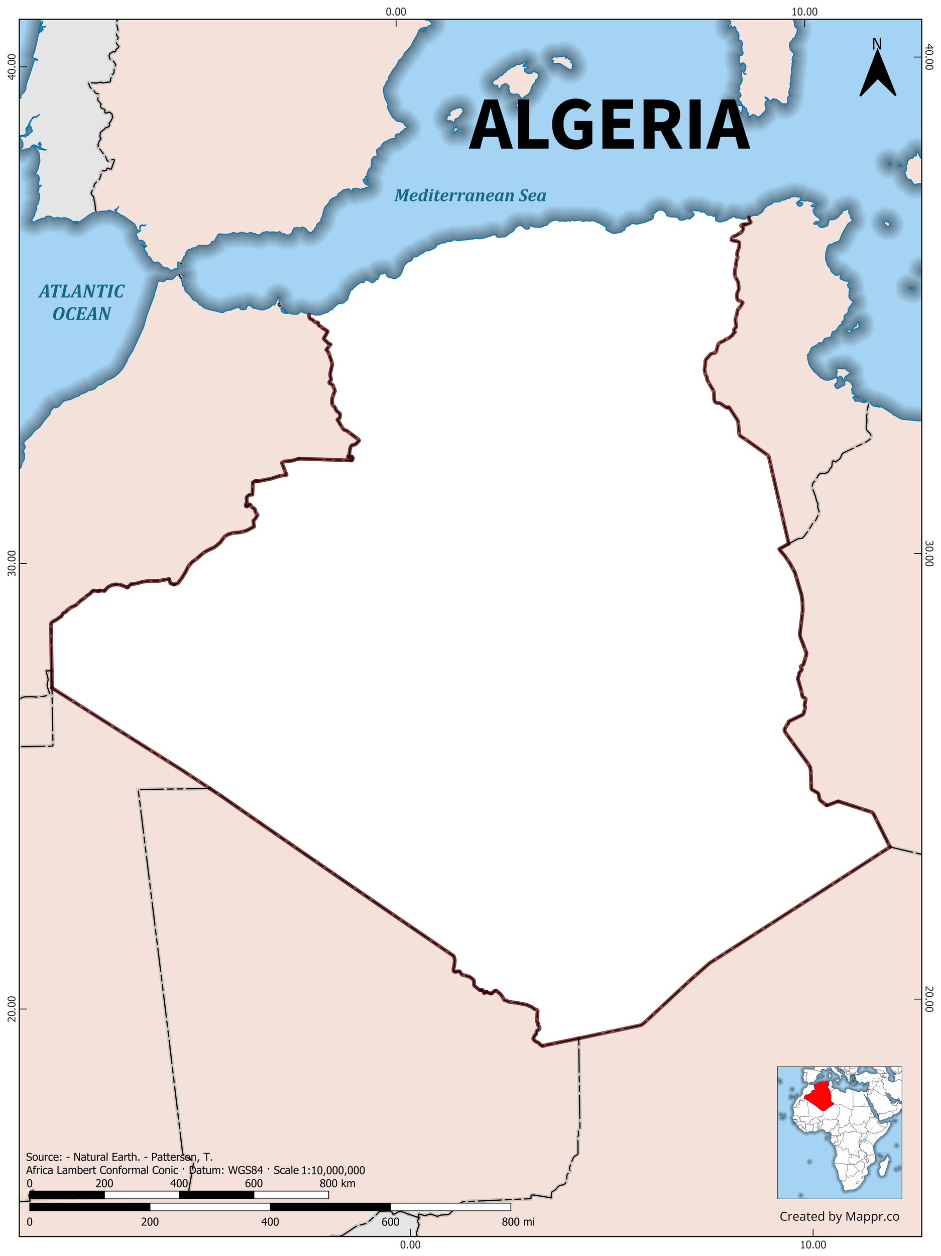
Algeria's Position on the African Continent
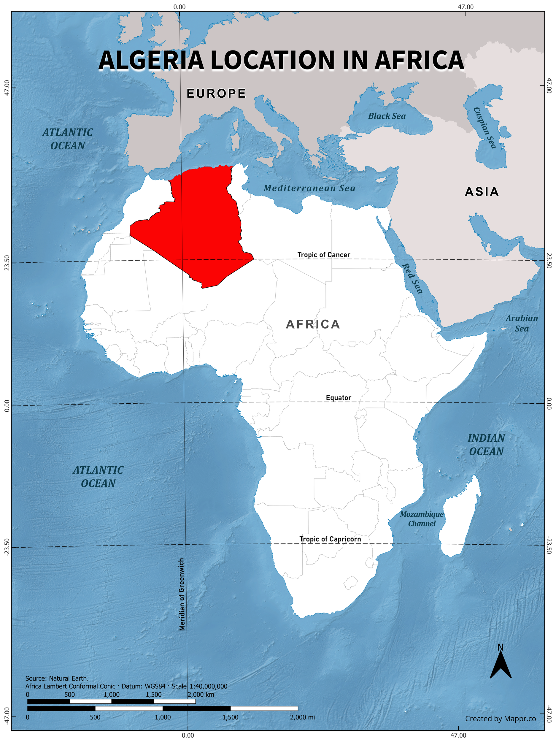
Algeria's Position on the Global Map - Color
A map highlighting Algeria's location in red on the global map, showcasing its position on the continent.
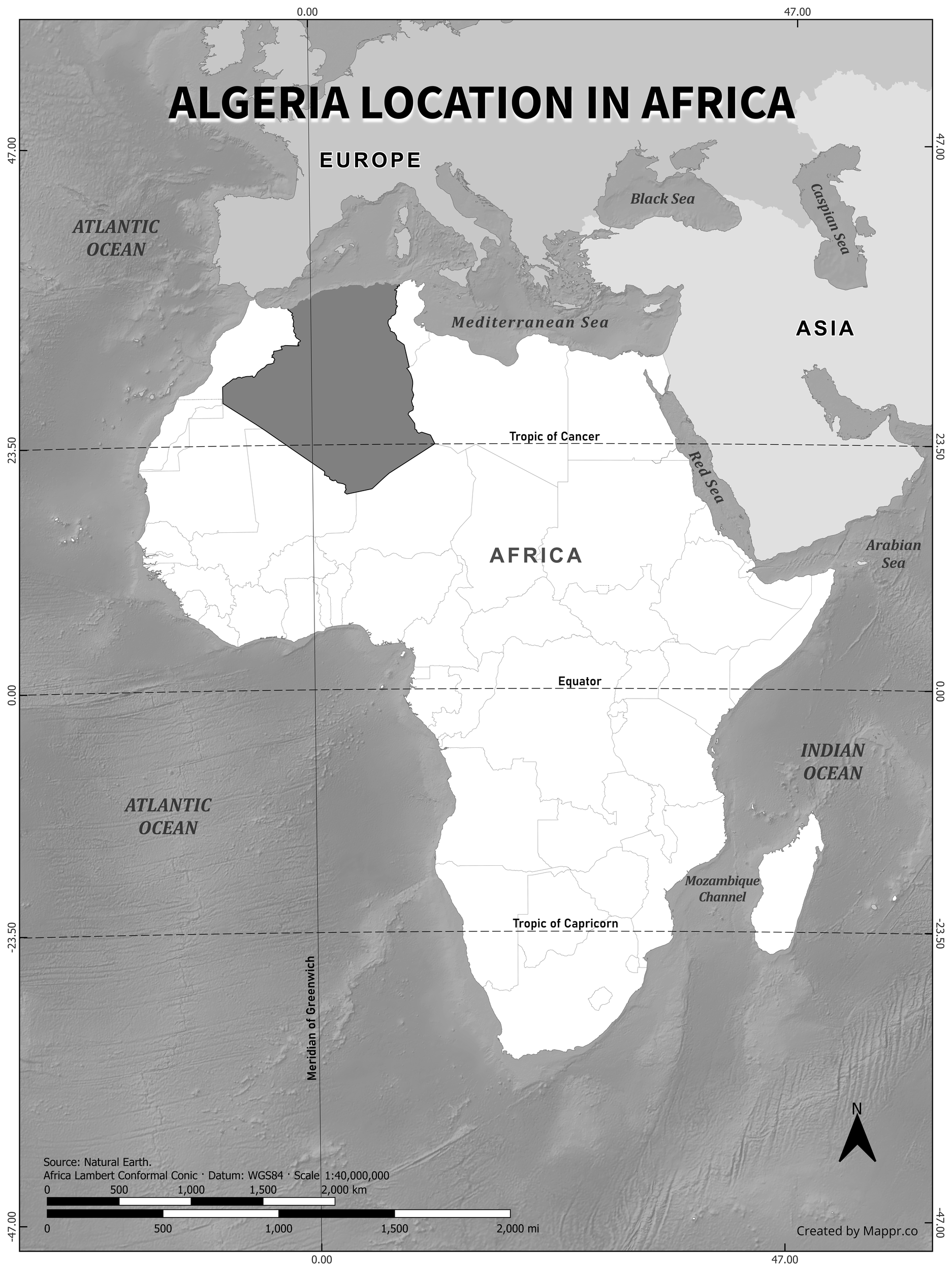
Algeria's Position on the Global Map - Black & White
A black and white map highlighting Algeria's location, showcasing its position on the continent with detailed geographical features.
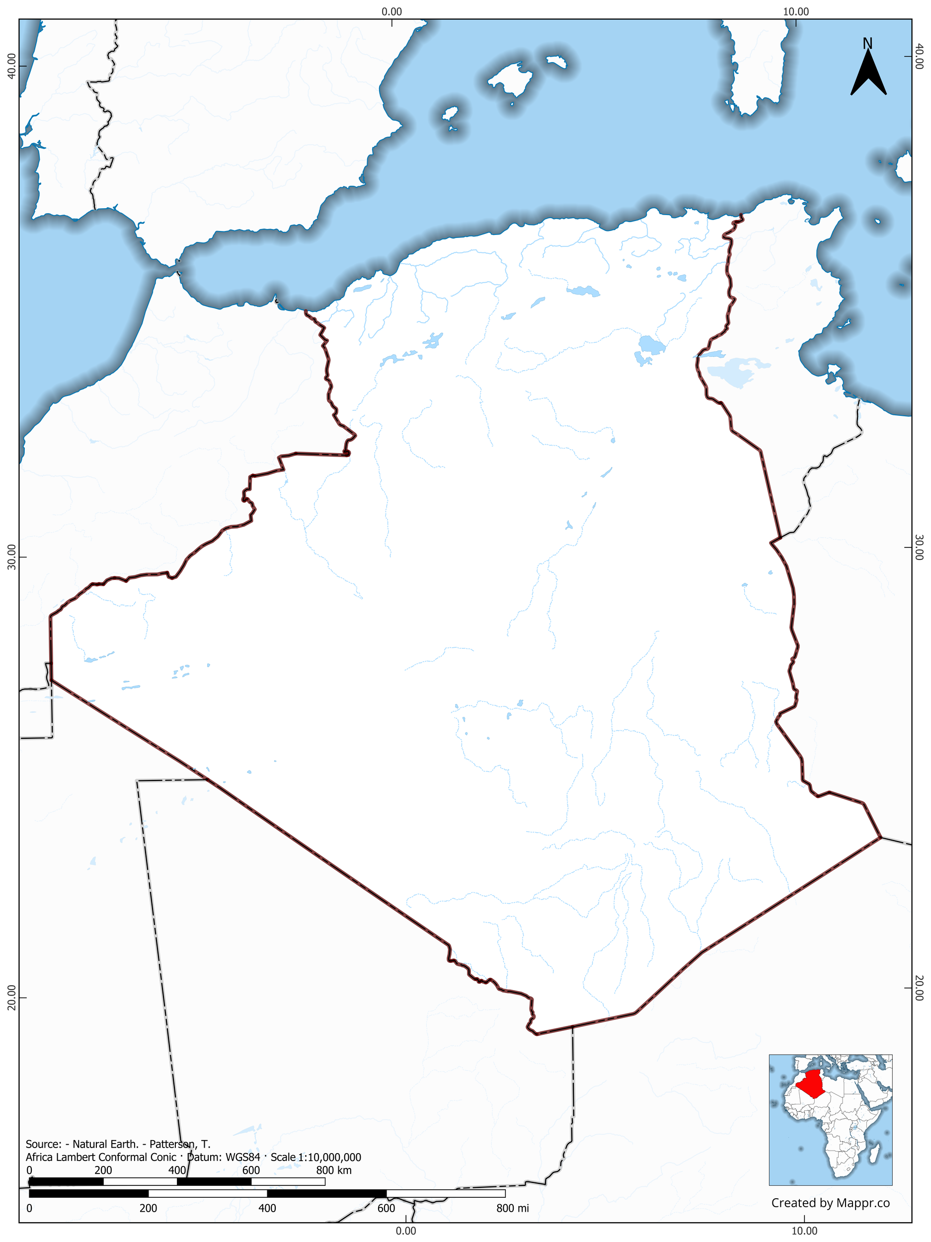
Algeria Outline Maps
Algeria Outline Map - Color
Outline map of Algeria with detailed country borders, showcasing its geographical shape and boundaries.
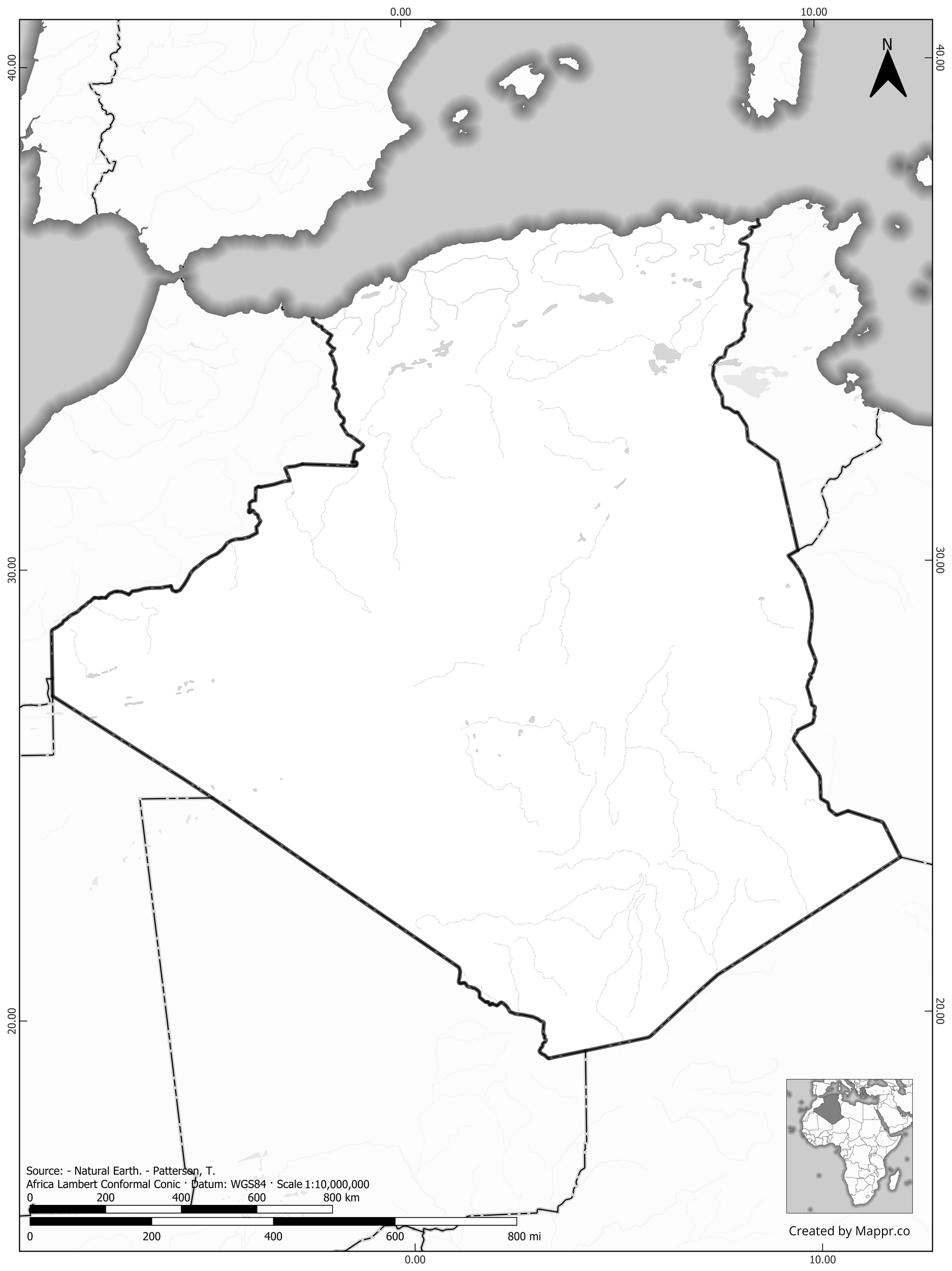
Algeria Outline Map - Black & White
Black and white outline map of Algeria, perfect for print and educational purposes, highlighting borders clearly.
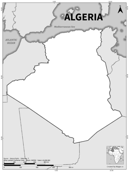
Blank Outline Maps of Algeria
Algeria Blank Map - Color
Blank political map of Algeria showing its international borders without any labels, ideal for testing geography knowledge or custom map creation.
Algeria Blank Map - Black & White
High-contrast black and white blank map of Algeria, emphasizing borders and coastlines, suitable for educational use and map customization.
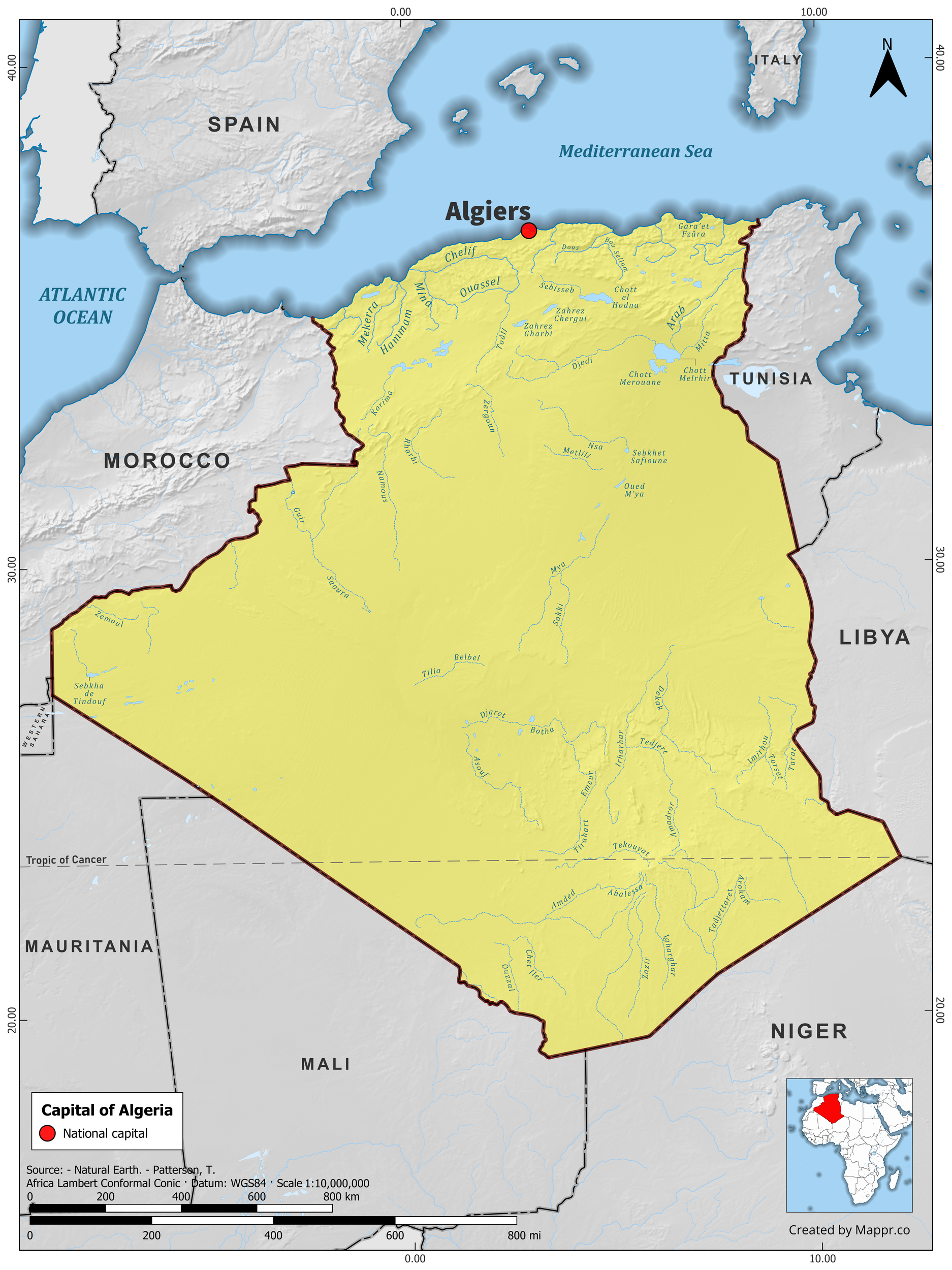
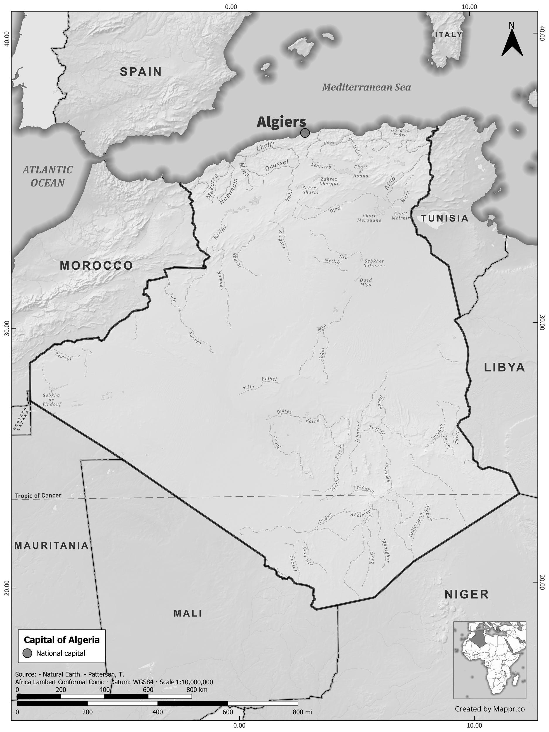
Algeria Capital Location Maps
Algeria Capital Location Map - Color
Detailed map pinpointing Algiers, the capital of Algeria, set against the country's full geographical layout in vibrant colors.
Algeria Capital Location Map - Black & White
Black and white map highlighting Algiers, the capital city of Algeria, against the backdrop of the country's borders and major cities.
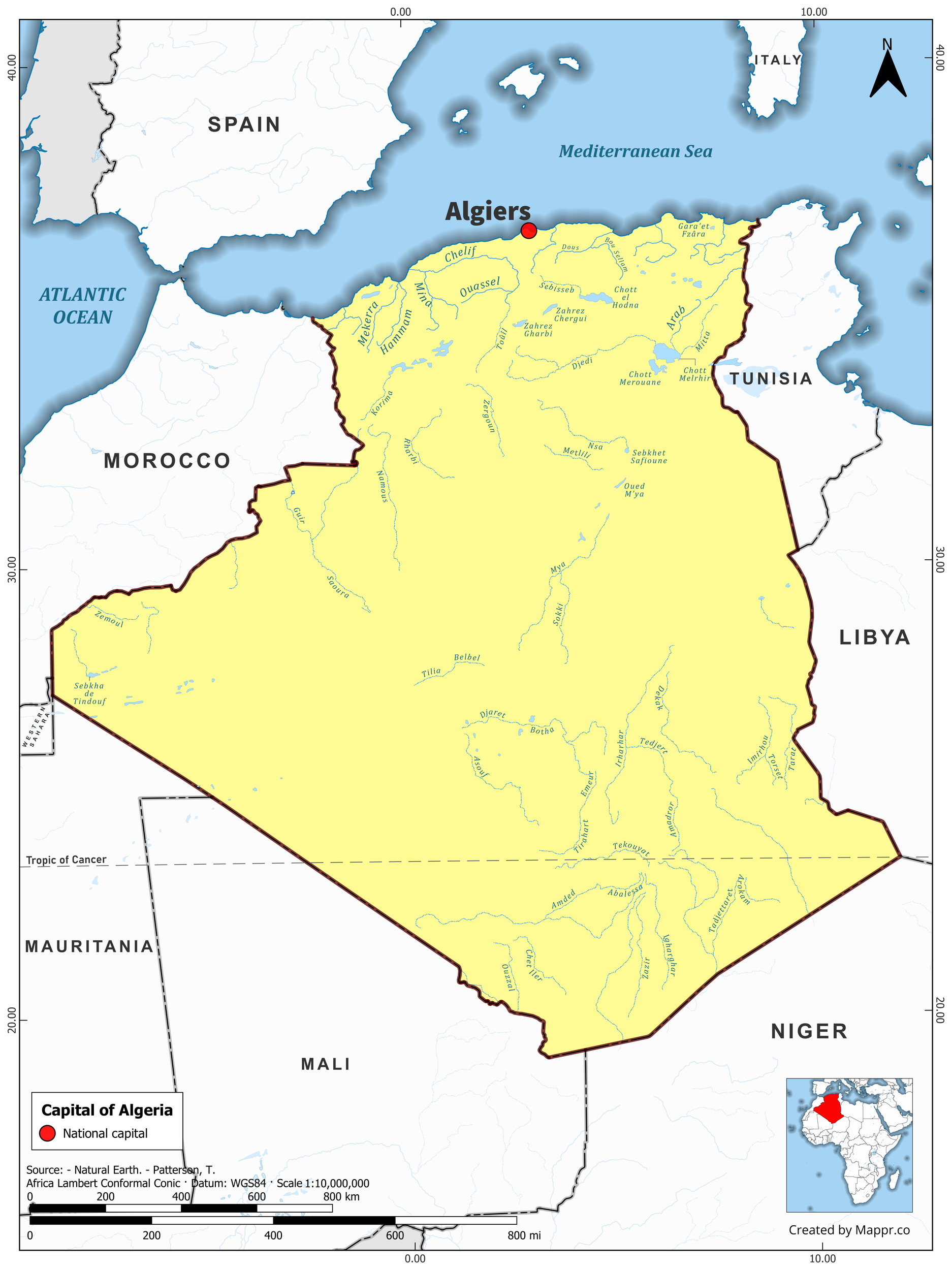
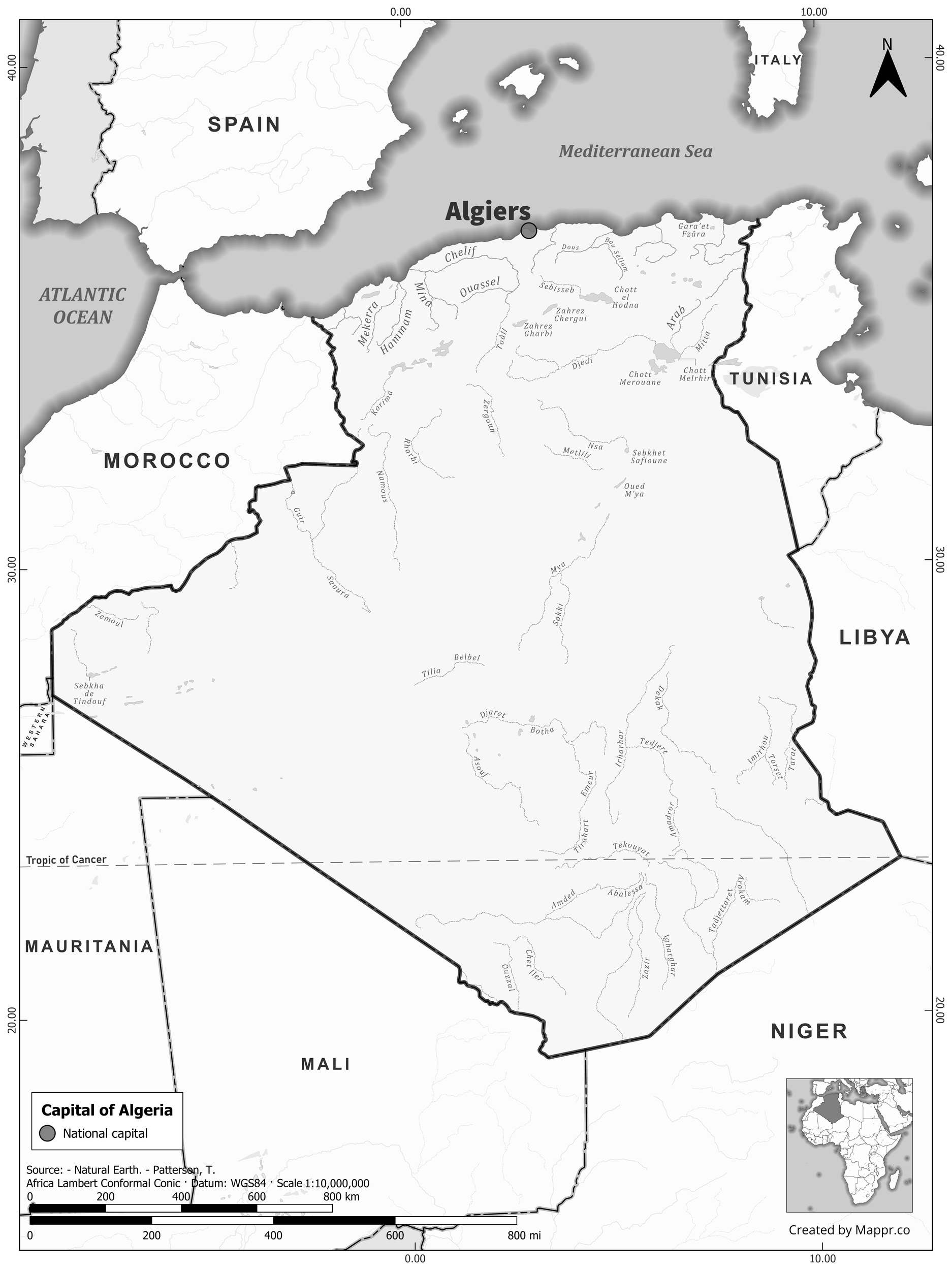
Algeria Capital Location Maps with Geographical Features
Algeria Capital Location Map with Raster - Color
Illustrative map featuring Algiers, the capital of Algeria, along with rich topographical details and neighboring regions in full color.
Algeria Capital Location Map Black & White with Raster
Detailed black and white raster map of Algeria focusing on Algiers and its geographical context, ideal for academic and research purposes.
This license allows only noncommercial use, requires attribution, and mandates that adaptations be shared under identical terms.

All original maps and graphics on this page are © Mappr, free to use under a Creative Commons Attribution–ShareAlike licence (CC BY-SA): use them anywhere, including commercially, as long as you credit Mappr with a link back to Mappr.co.