
Faroe Islands Country Maps
Detailed Reference Map of the Faroe Islands
The map below is a professionally drawn road and ferry map of the Faroe Islands by cartographer Rainer Lesniewski: all 18 islands with Tórshavn on Streymoy, Vágar Airport, Klaksvík on Borðoy, the bird cliffs of Mykines, and the road and ferry network that stitches the archipelago together, down to Suðuroy in the south.
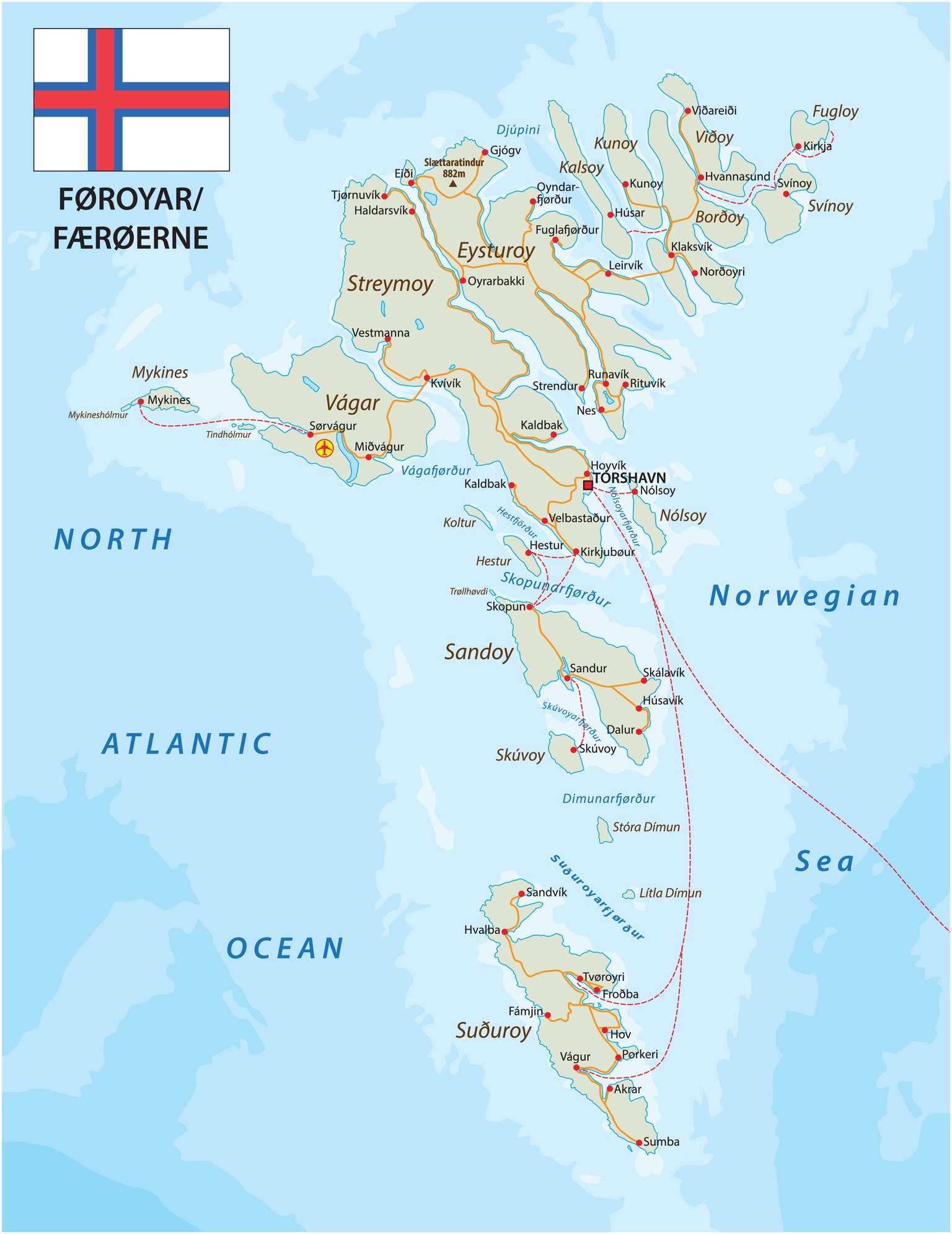
Note: unlike the Mappr-made maps below, this map is licensed stock cartography and is not available for free download or reuse. The outline and location maps further down this page remain free to download and use with attribution.
Faroe Islands’s Position on the Global Map
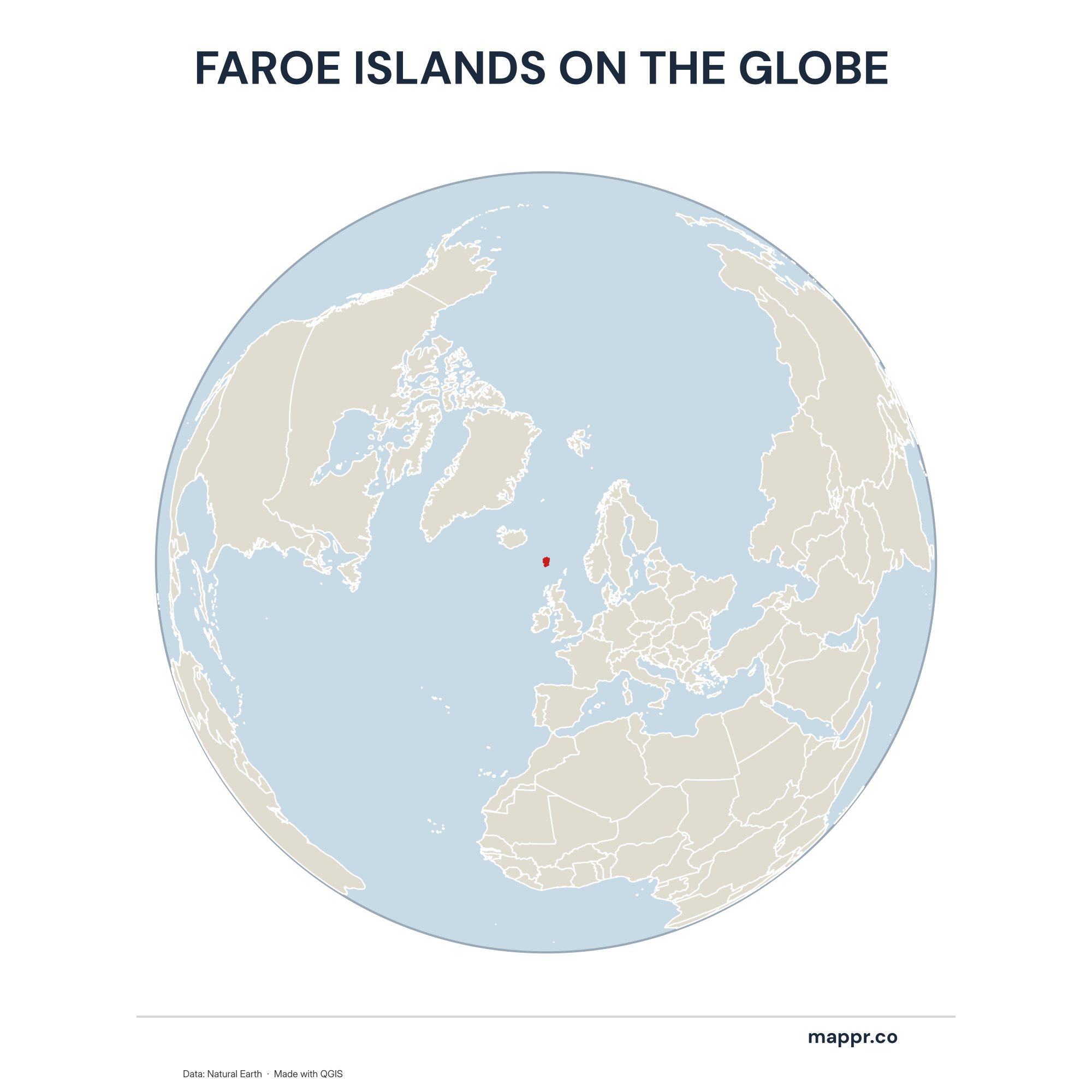
Faroe Islands Country Location Globe – Color
A map highlighting Faroe Islands’s location on a globe, marked with a red outline.
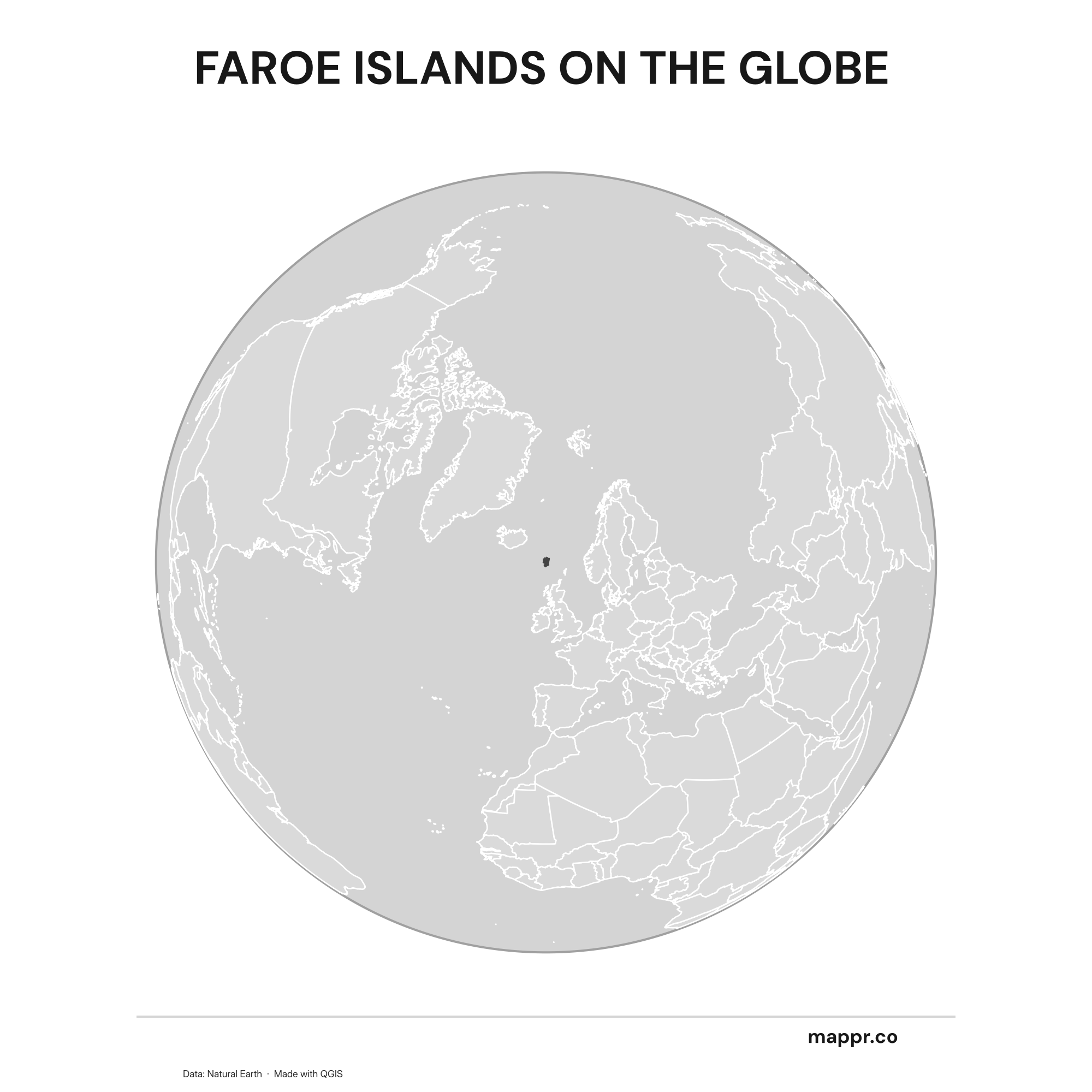
Faroe Islands Country Location Globe – Black & White
A map highlighting Faroe Islands’s location on a globe, marked with a red outline (black and white).
Faroe Islands’s Position on the European Continent
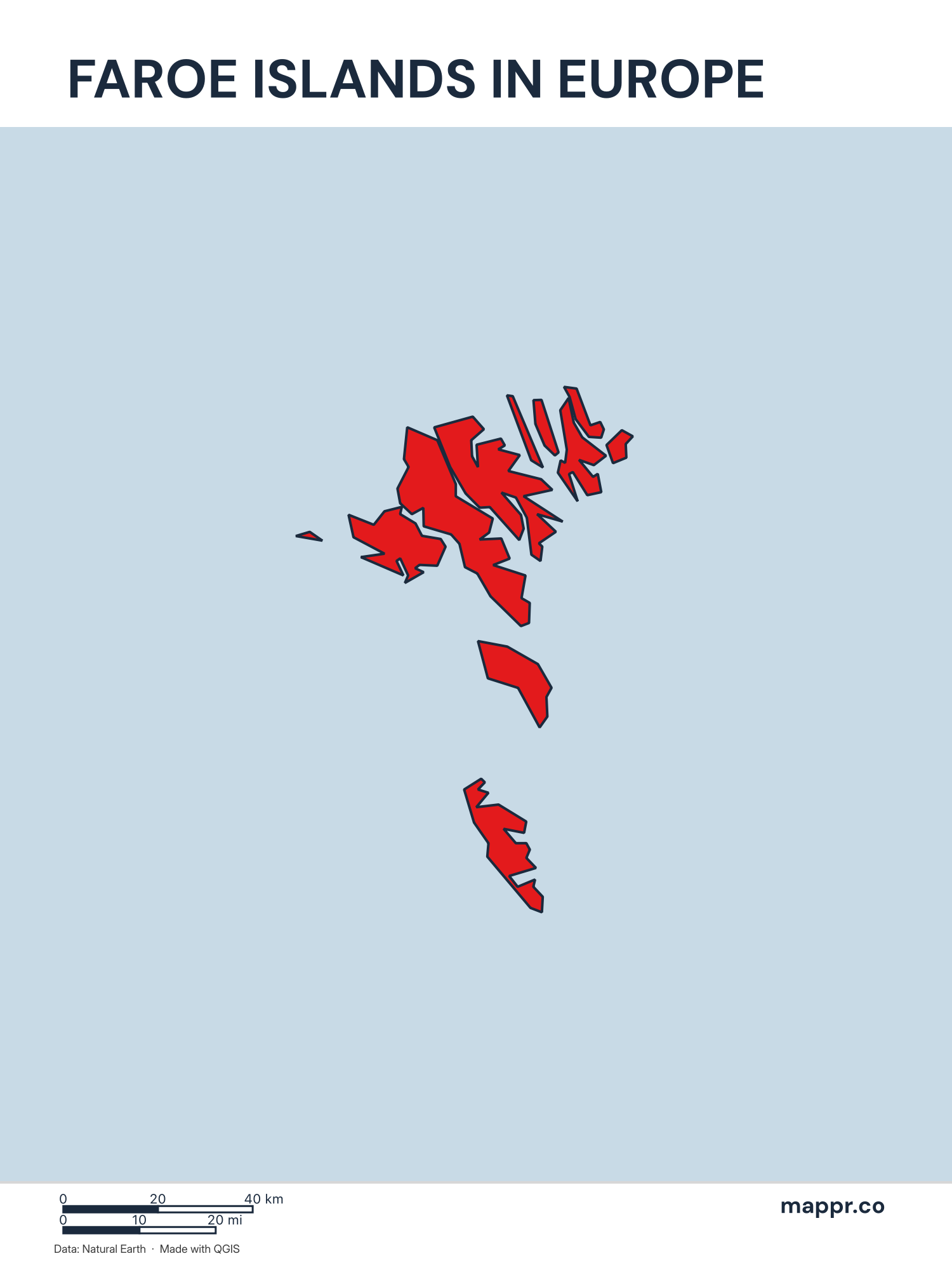
Faroe Islands’s Position on the European Continent – Color
A map highlighting Faroe Islands’s location on the european continent.
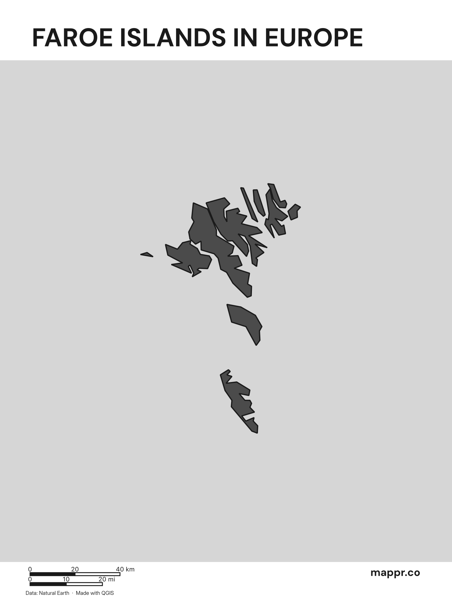
Faroe Islands’s Position on the European Continent – Black & White
A map highlighting Faroe Islands’s location on the european continent (black and white).
Faroe Islands Outline Maps
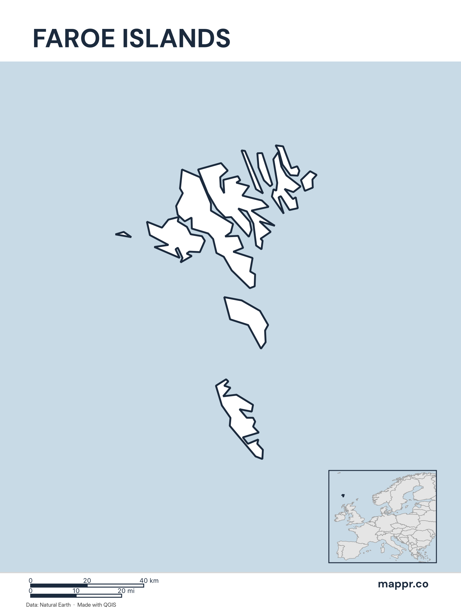
Faroe Islands Outline Map – Color
Outline map of Faroe Islands with detailed country borders.
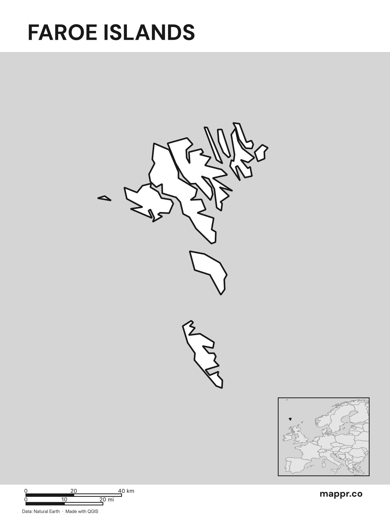
Faroe Islands Outline Map – Black & White
Outline map of Faroe Islands with detailed country borders (black and white).
Blank Outline Maps of Faroe Islands
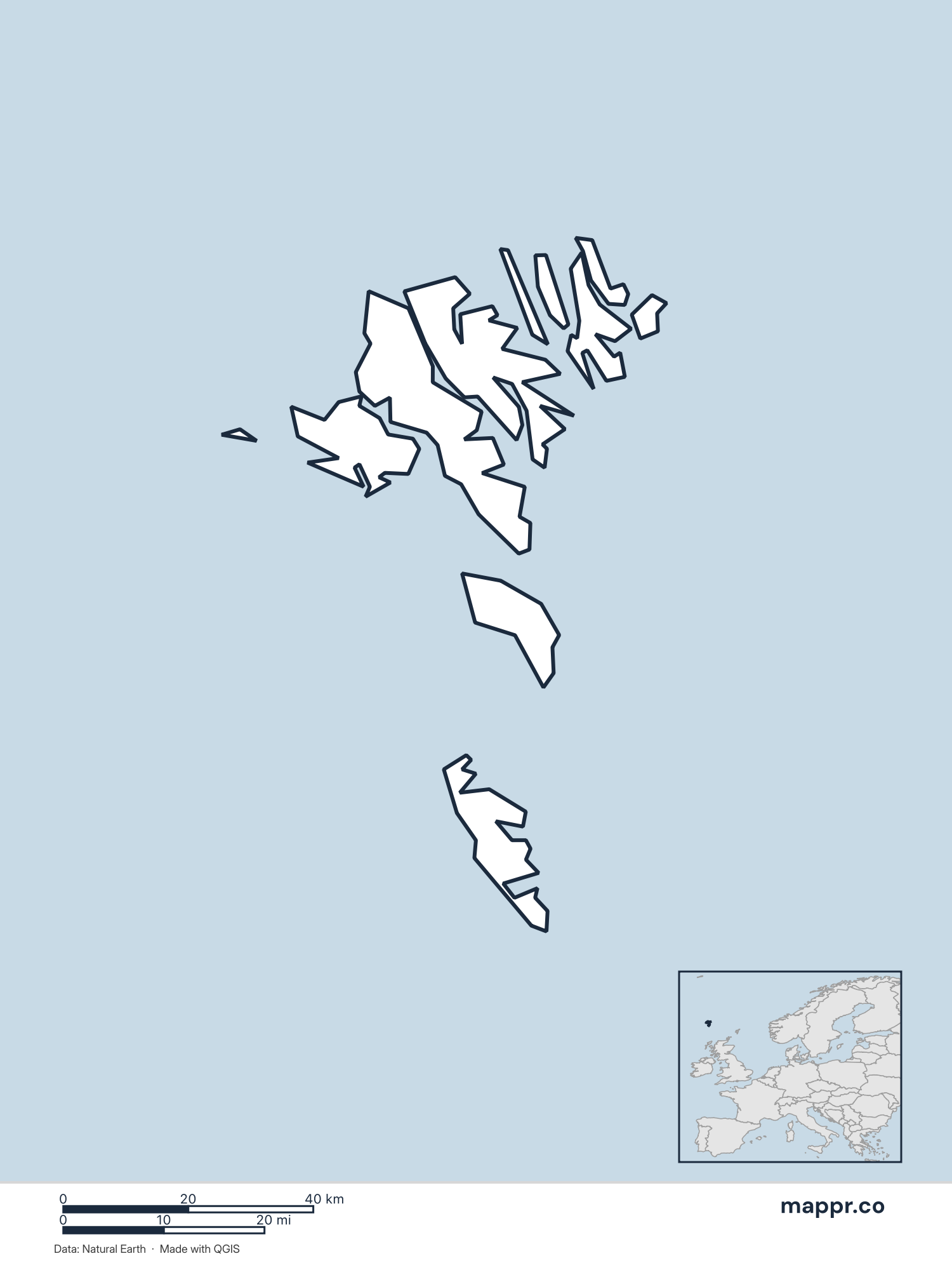
Faroe Islands Blank Map – Color
Blank political map of Faroe Islands showing its international borders without labels.
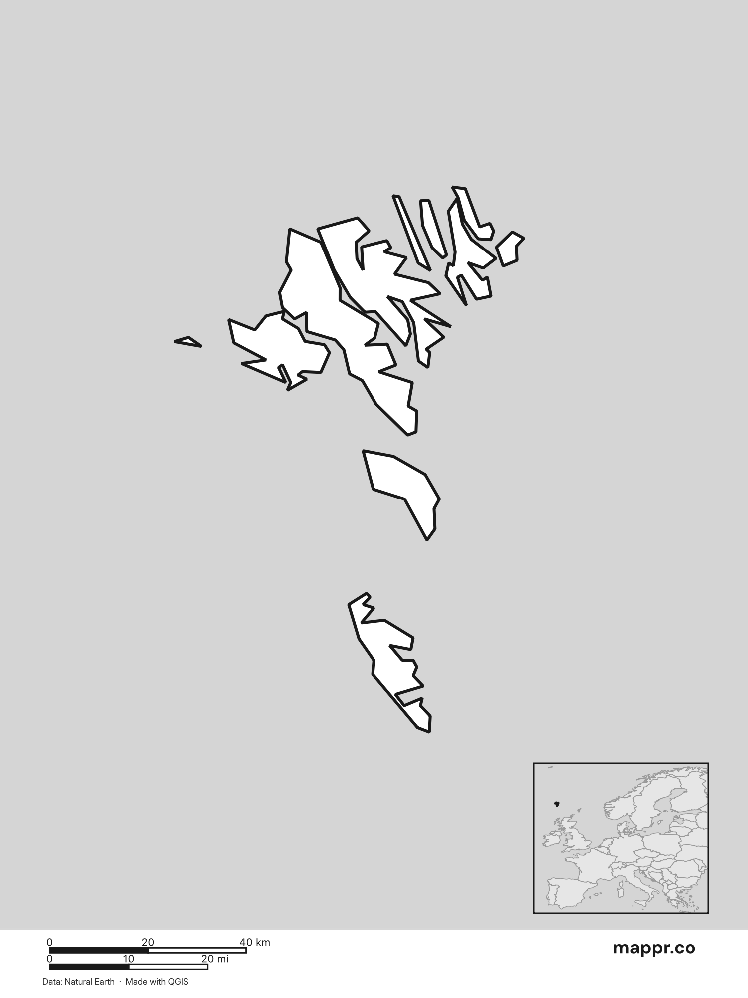
Faroe Islands Blank Map – Black & White
Blank political map of Faroe Islands showing its international borders without labels (black and white).
Faroe Islands Capital Location Maps
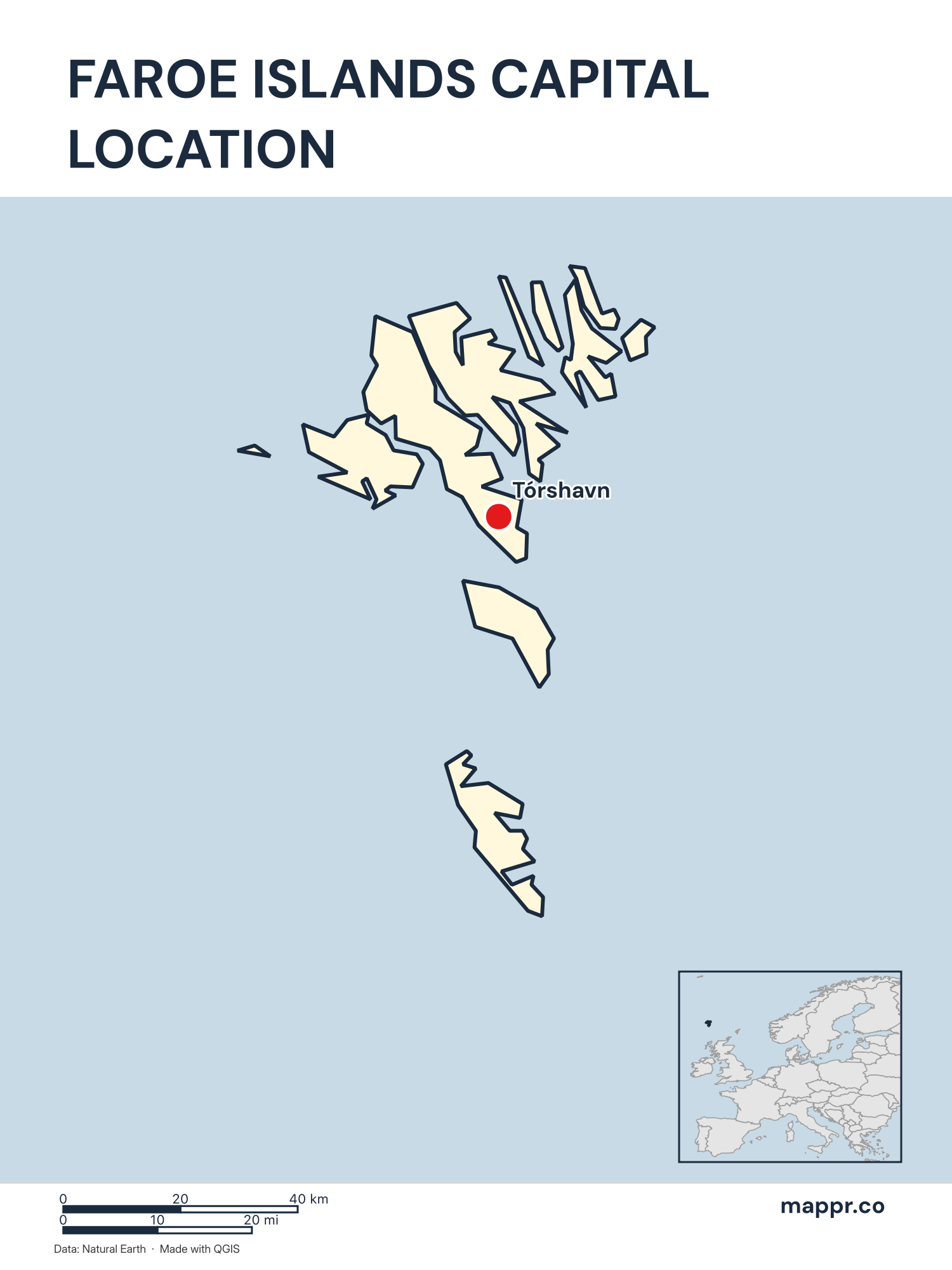
Faroe Islands Capital Location Map – Color
Detailed map pinpointing Tórshavn, the capital of Faroe Islands.
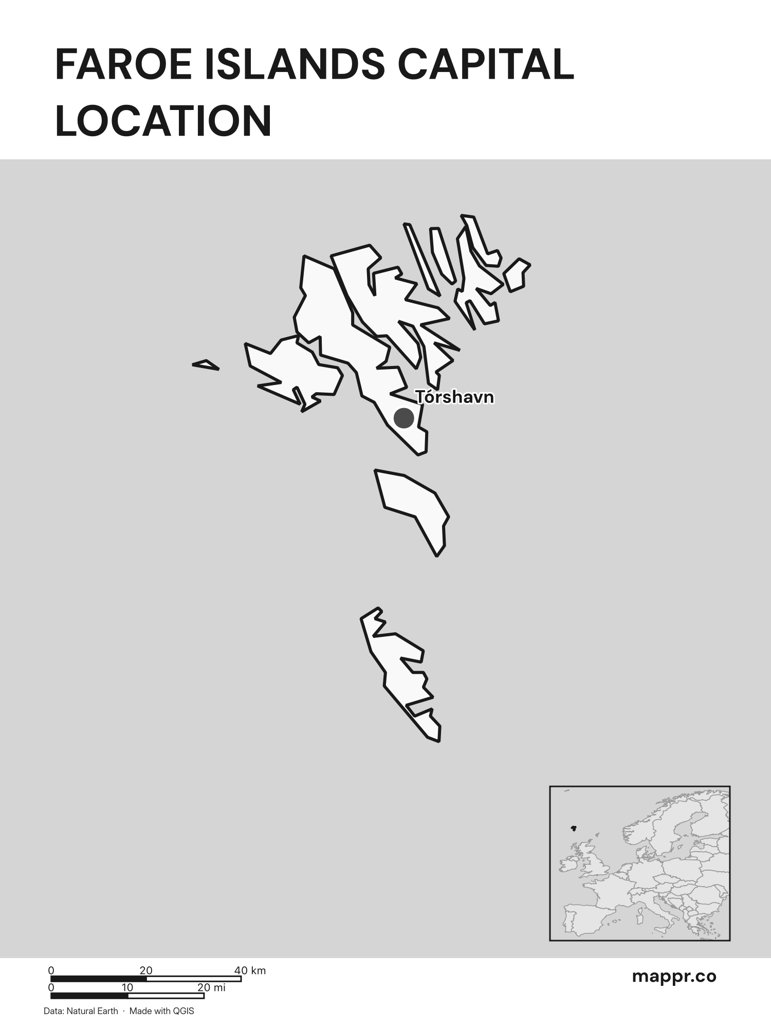
Faroe Islands Capital Location Map – Black & White
Detailed map pinpointing Tórshavn, the capital of Faroe Islands (black and white).
Faroe Islands Capital Location Maps with Geographical Features
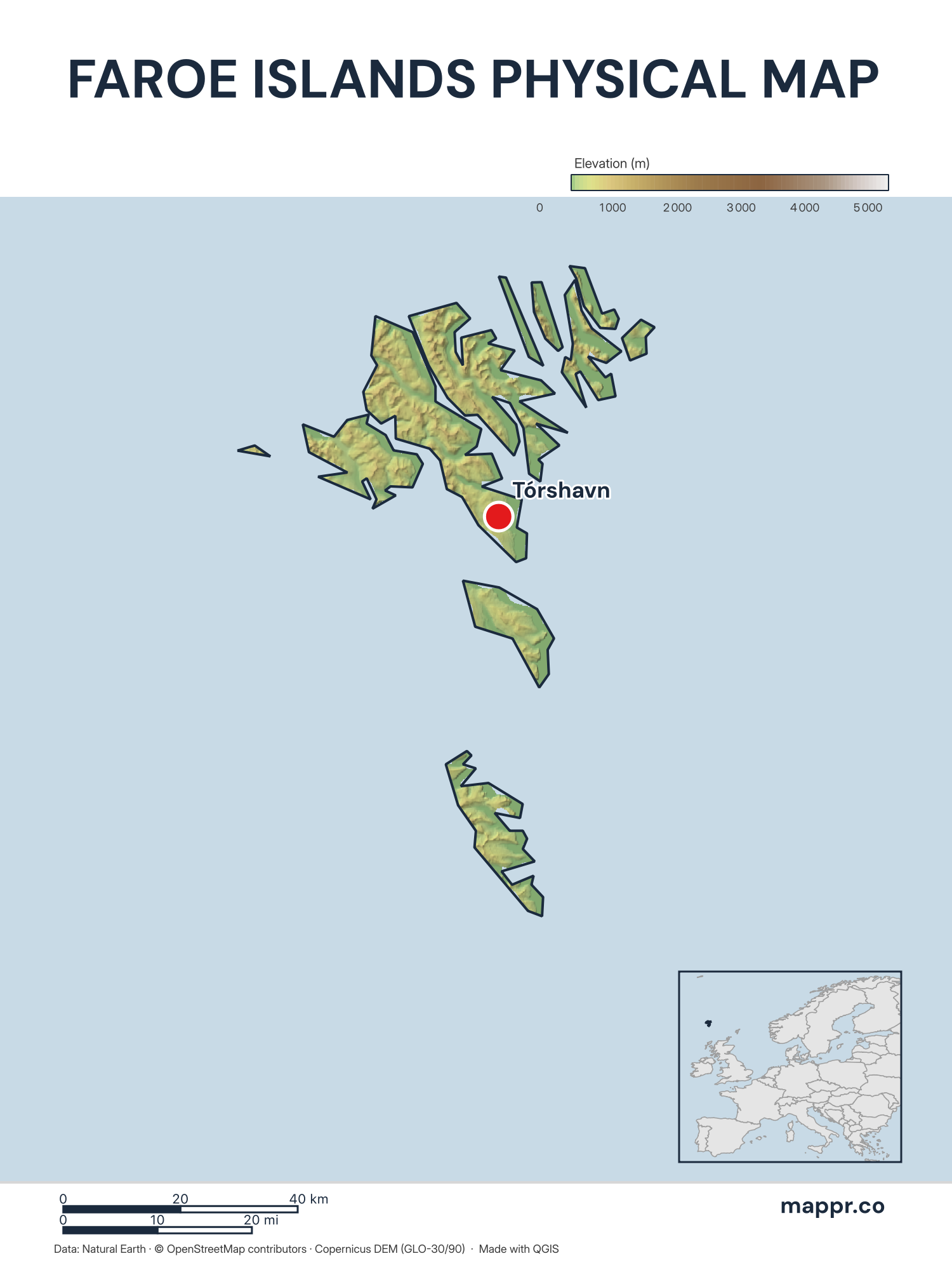
Faroe Islands Capital Location Map with Raster – Color
Map featuring Tórshavn, the capital of Faroe Islands, with rich topographical detail.
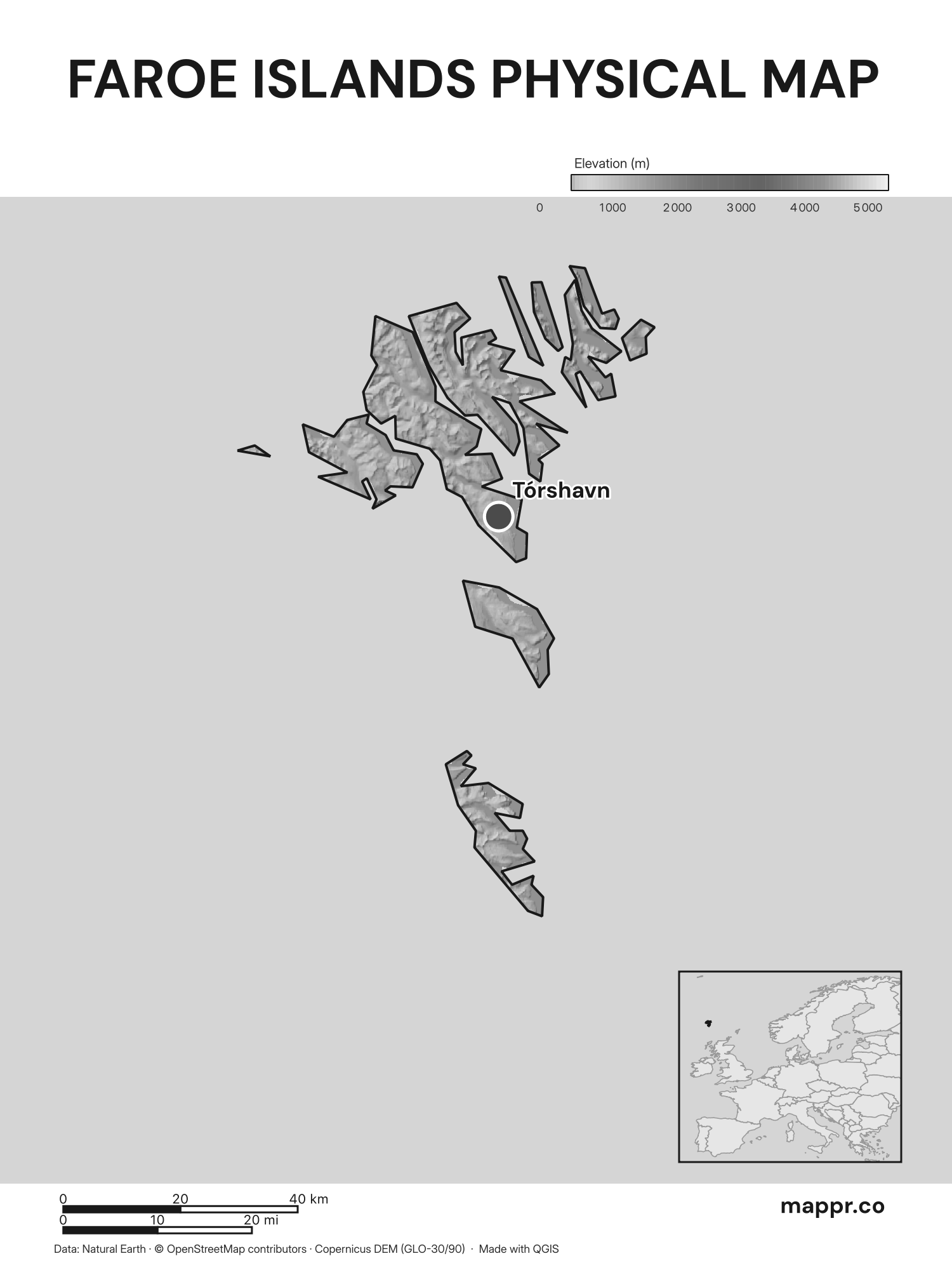
Faroe Islands Capital Location Map with Raster – Black & White
Map featuring Tórshavn, the capital of Faroe Islands, with rich topographical detail (black and white).


 .
This license requires attribution and mandates that adaptations be shared under identical terms.
All original maps and graphics on this page are © Mappr, free to use under a Creative Commons Attribution–ShareAlike licence (CC BY-SA): use them anywhere, including commercially, as long as you credit Mappr with a link back to Mappr.co. Exception: maps credited to third-party cartographers (for example © Rainer Lesniewski/Shutterstock, noted in the caption) are licensed for display on Mappr only and are not covered by this licence — they may not be downloaded or reused.
- faroe-islands-map-detailed — Rainer Lesniewski/Shutterstock