Solomon Islands Country Maps
Solomon Islands’s Position on the Global Map
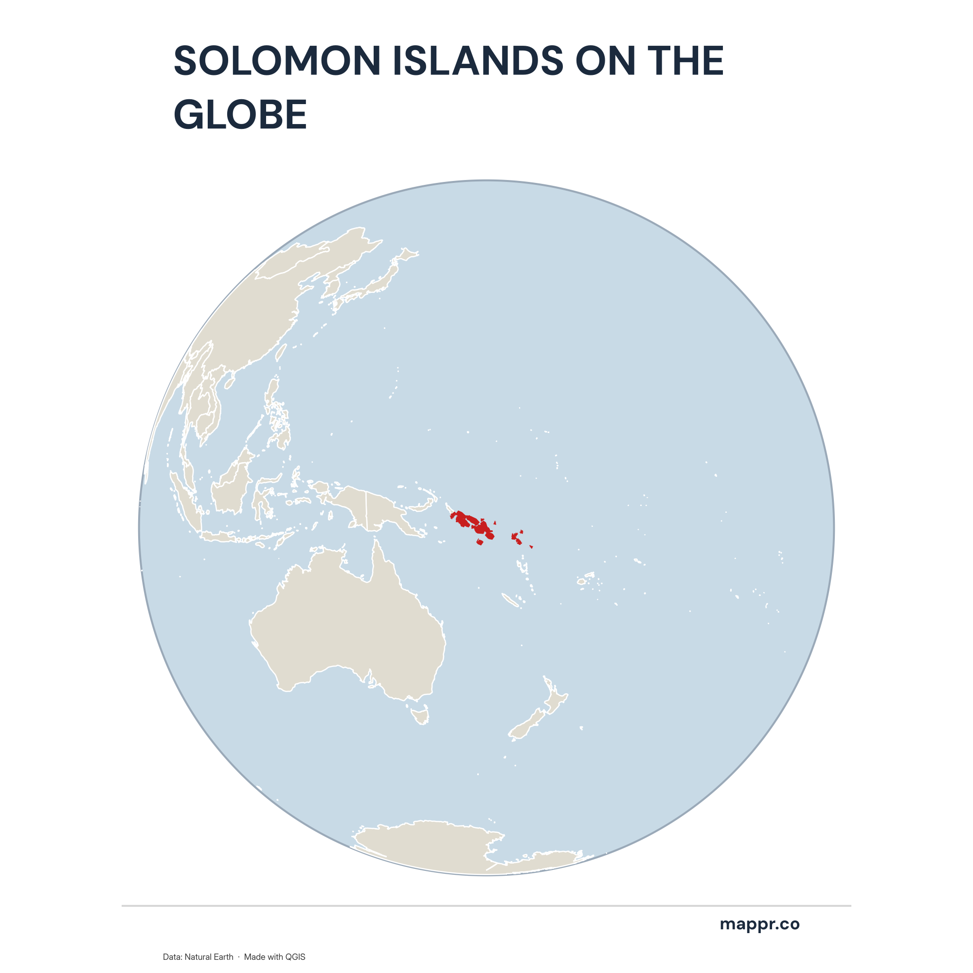
Solomon Islands Country Location Globe – Color
A map highlighting Solomon Islands’s location on a globe, marked with a red outline.
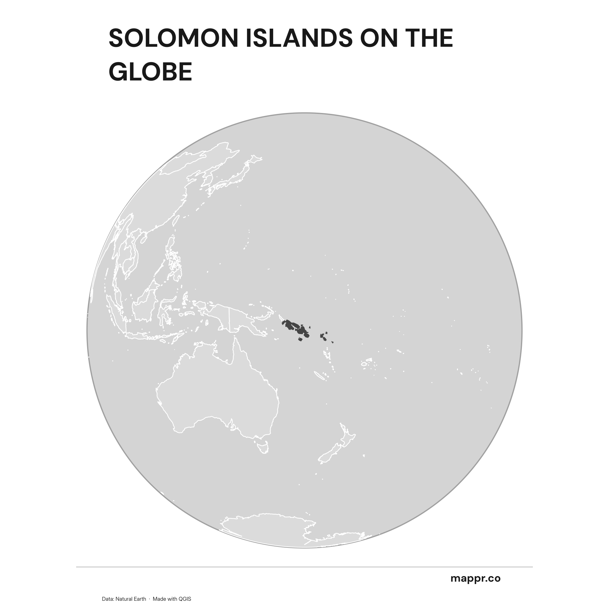
Solomon Islands Country Location Globe – Black & White
A map highlighting Solomon Islands’s location on a globe, marked with a red outline (black and white).
Solomon Islands’s Position on the Oceanian Continent
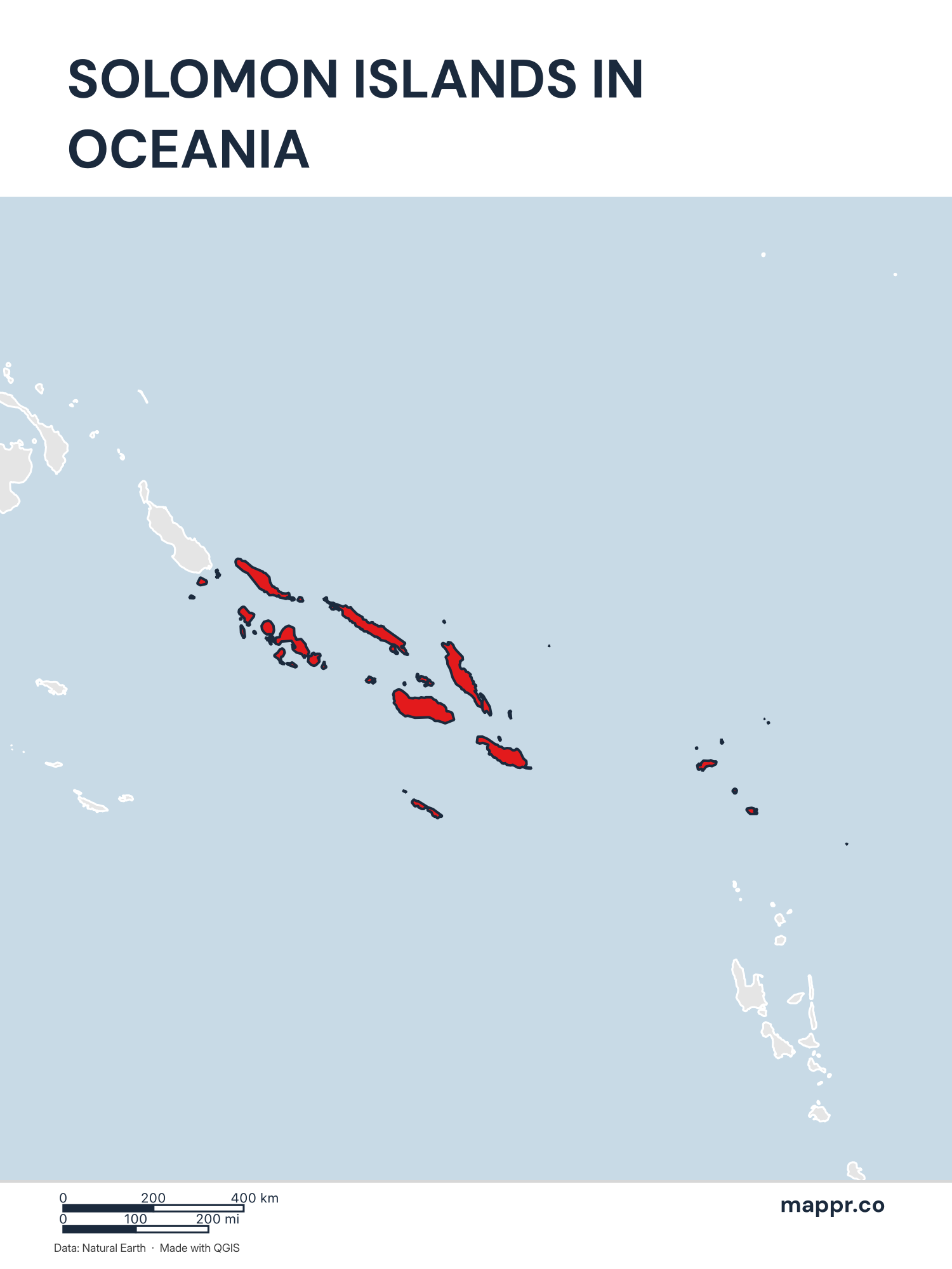
Solomon Islands’s Position on the Oceanian Continent – Color
A map highlighting Solomon Islands’s location on the oceanian continent.
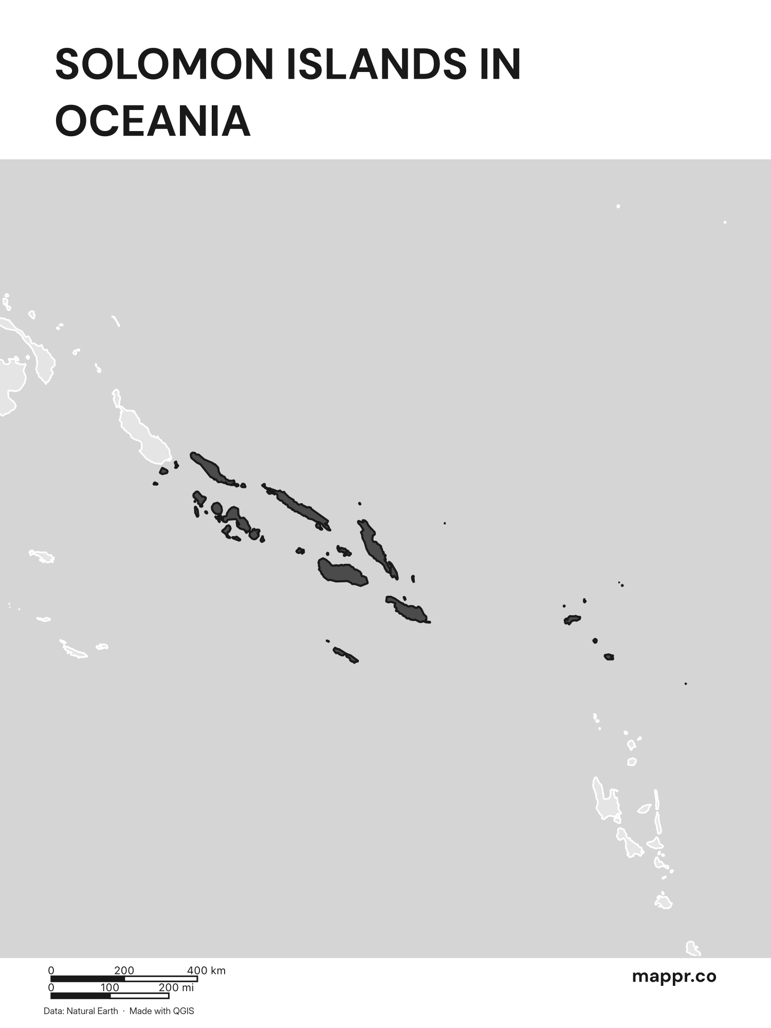
Solomon Islands’s Position on the Oceanian Continent – Black & White
A map highlighting Solomon Islands’s location on the oceanian continent (black and white).
Solomon Islands Outline Maps
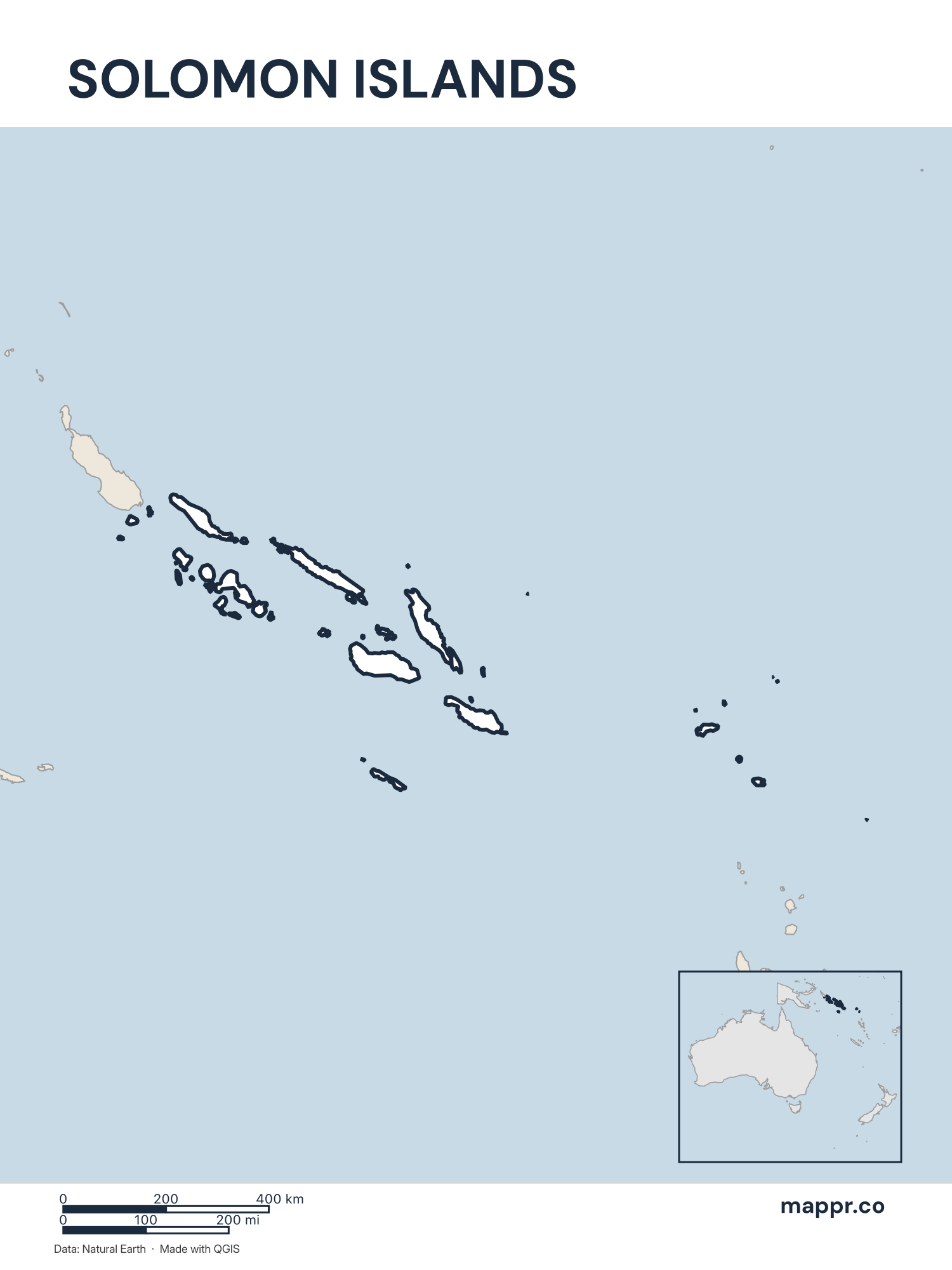
Solomon Islands Outline Map – Color
Outline map of Solomon Islands with detailed country borders.
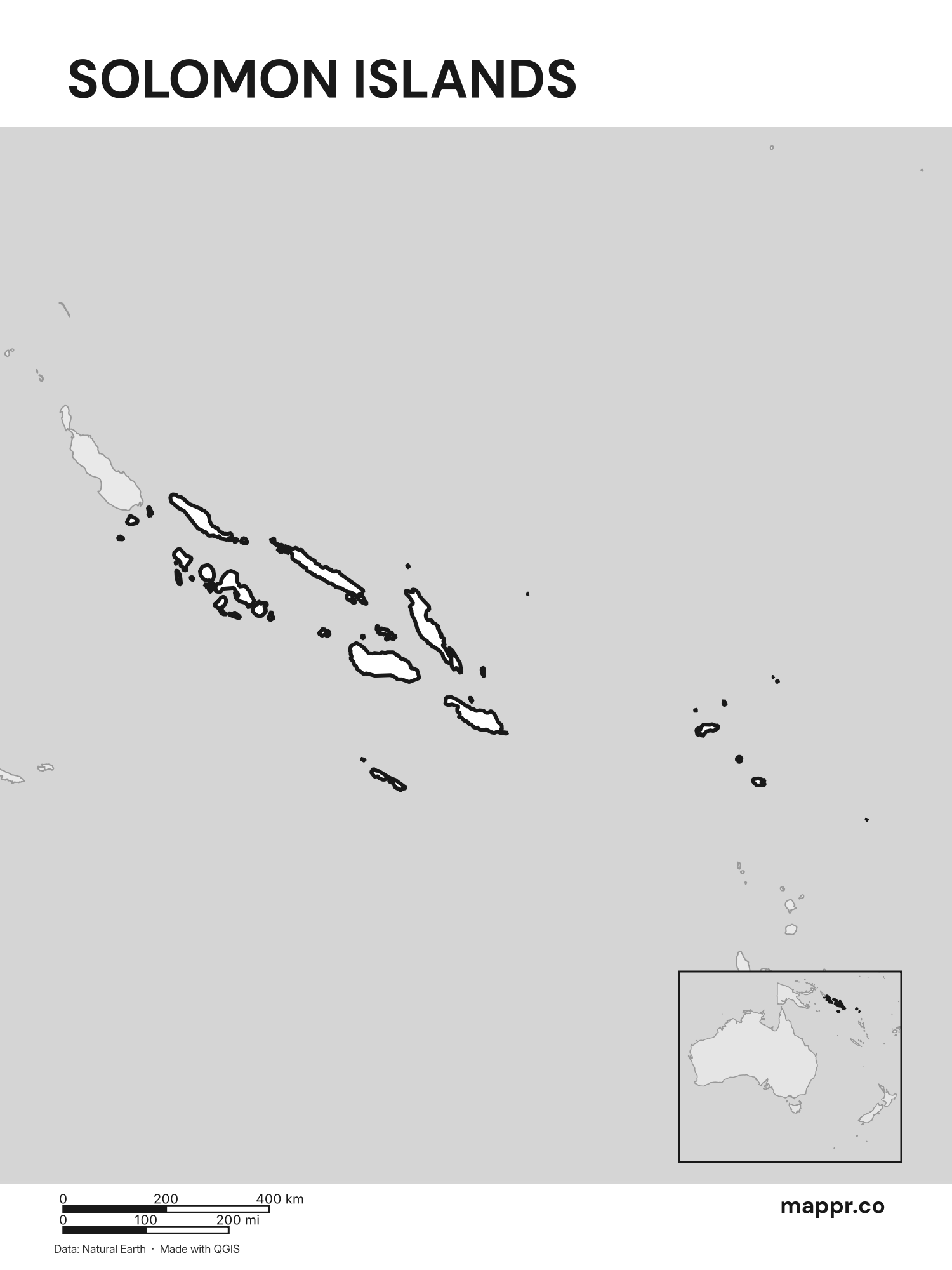
Solomon Islands Outline Map – Black & White
Outline map of Solomon Islands with detailed country borders (black and white).
Blank Outline Maps of Solomon Islands
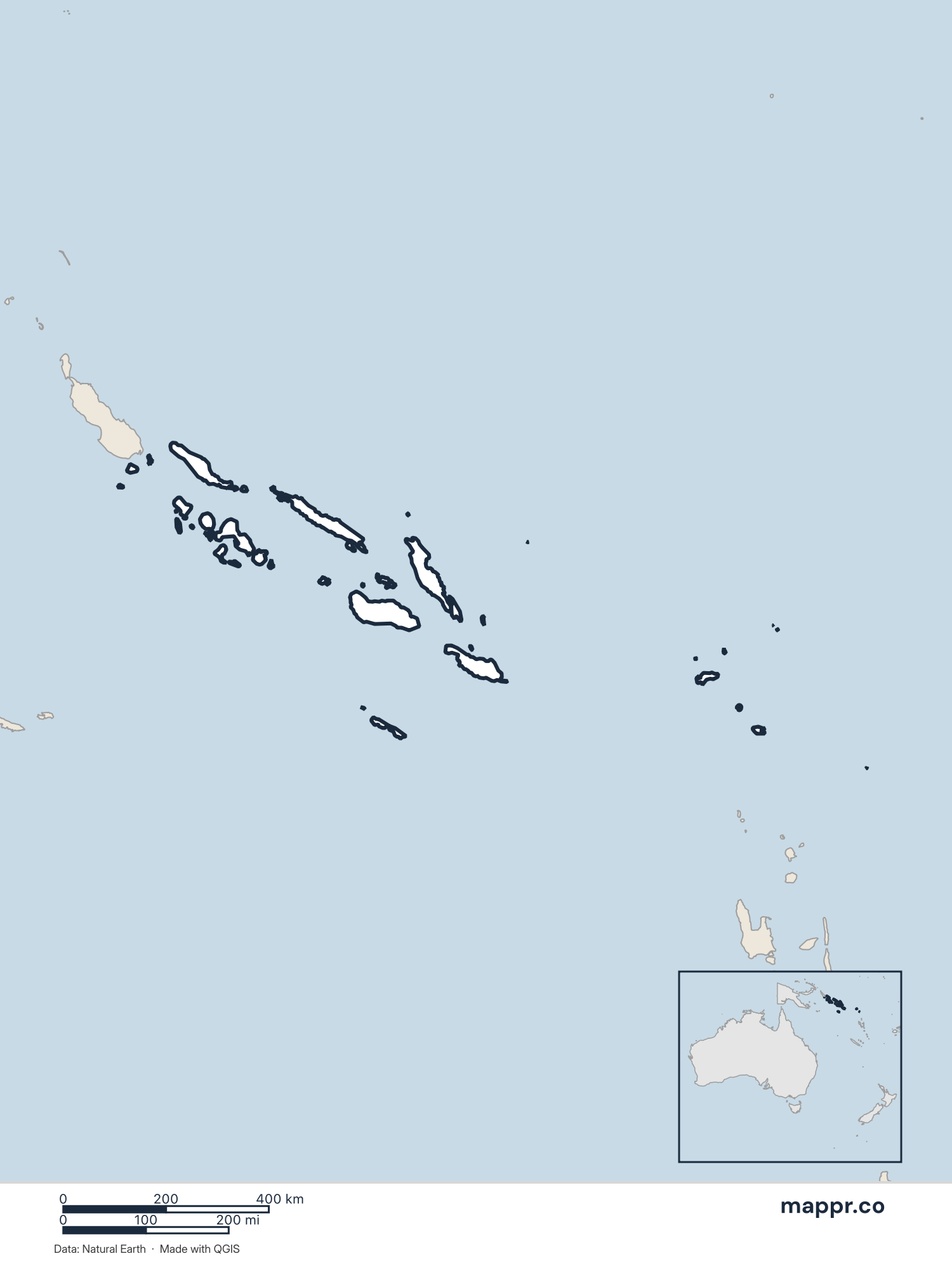
Solomon Islands Blank Map – Color
Blank political map of Solomon Islands showing its international borders without labels.
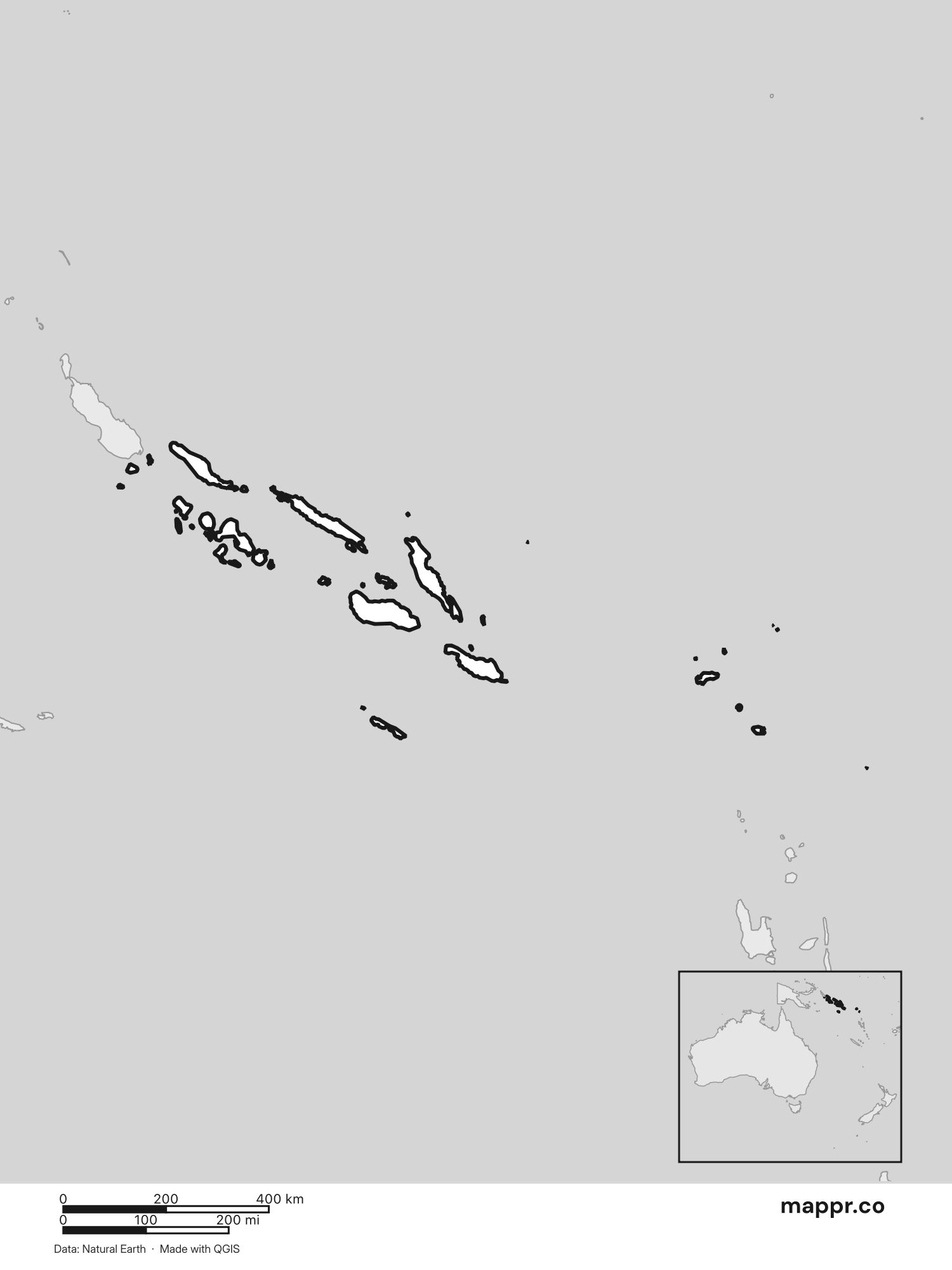
Solomon Islands Blank Map – Black & White
Blank political map of Solomon Islands showing its international borders without labels (black and white).
Solomon Islands Capital Location Maps
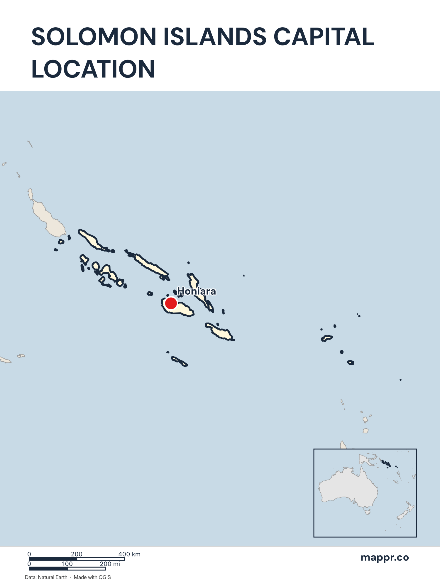
Solomon Islands Capital Location Map – Color
Detailed map pinpointing Honiara, the capital of Solomon Islands.
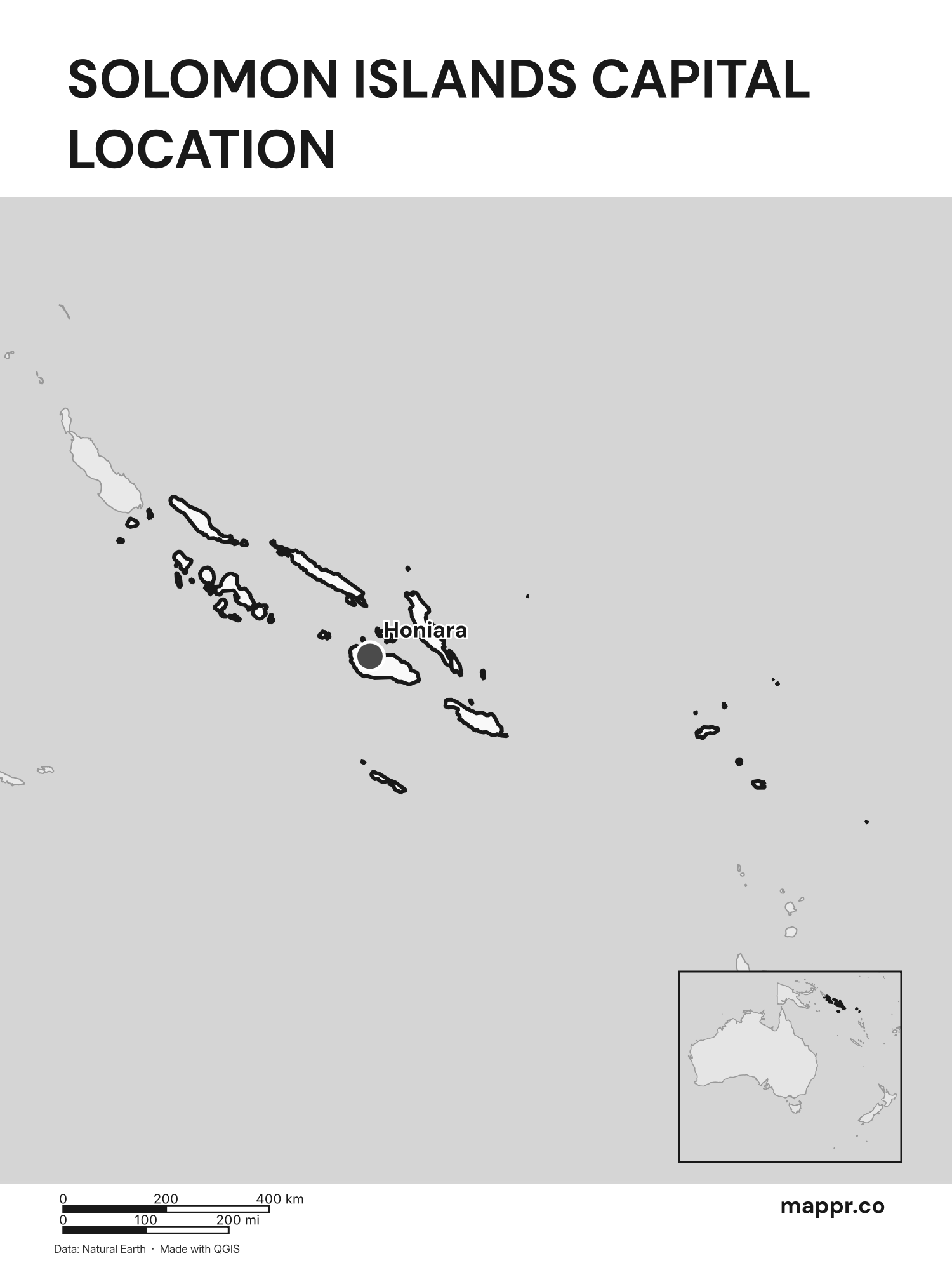
Solomon Islands Capital Location Map – Black & White
Detailed map pinpointing Honiara, the capital of Solomon Islands (black and white).
Solomon Islands Capital Location Maps with Geographical Features
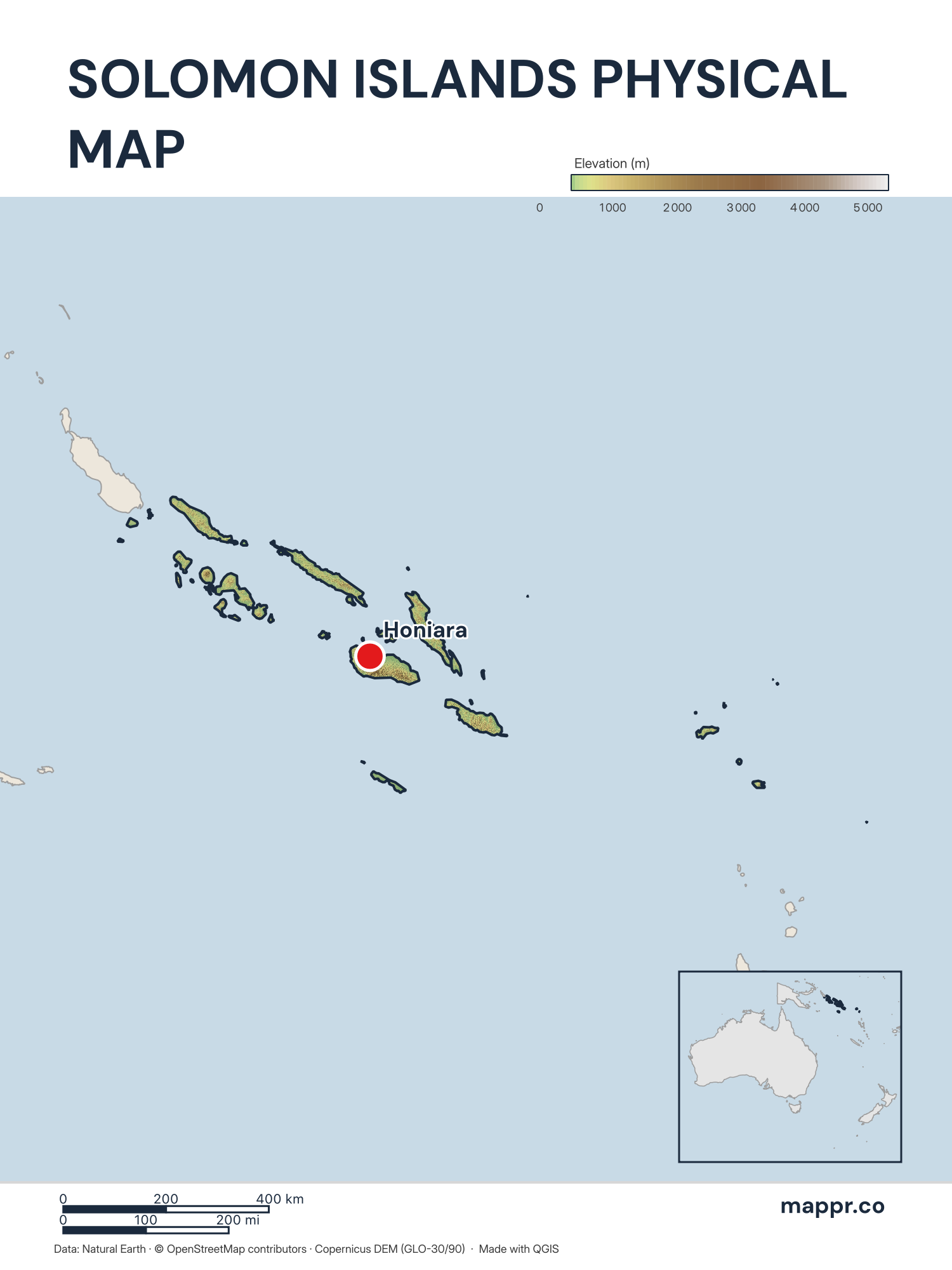
Solomon Islands Capital Location Map with Raster – Color
Map featuring Honiara, the capital of Solomon Islands, with rich topographical detail.
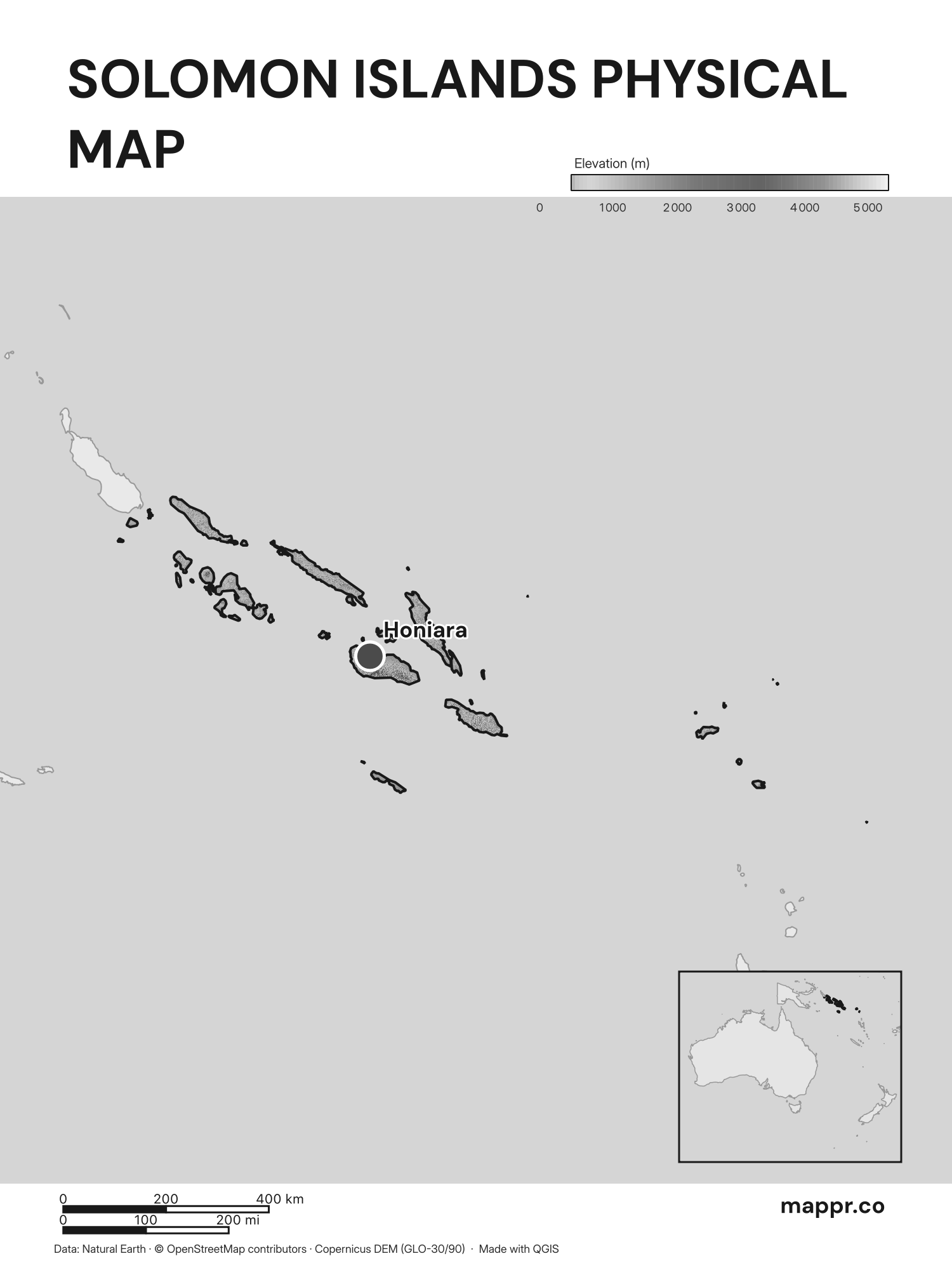
Solomon Islands Capital Location Map with Raster – Black & White
Map featuring Honiara, the capital of Solomon Islands, with rich topographical detail (black and white).
This license requires attribution and mandates that adaptations be shared under identical terms.
More Solomon Islands Maps coming soon!
We are currently working on these Solomon Islands Maps:
- Political Map
- Region map (admin 1 regions) showing the main city of admin 1 and admin 2 divisions
- Major cities map (major populated areas)
- Physical map (showing rivers, lakes, elevations)
- Country elevation map (showing elevations in detail)
- Country road map (showing the road network in detail)