Norfolk Island Country Maps
Norfolk Island’s Position on the Global Map
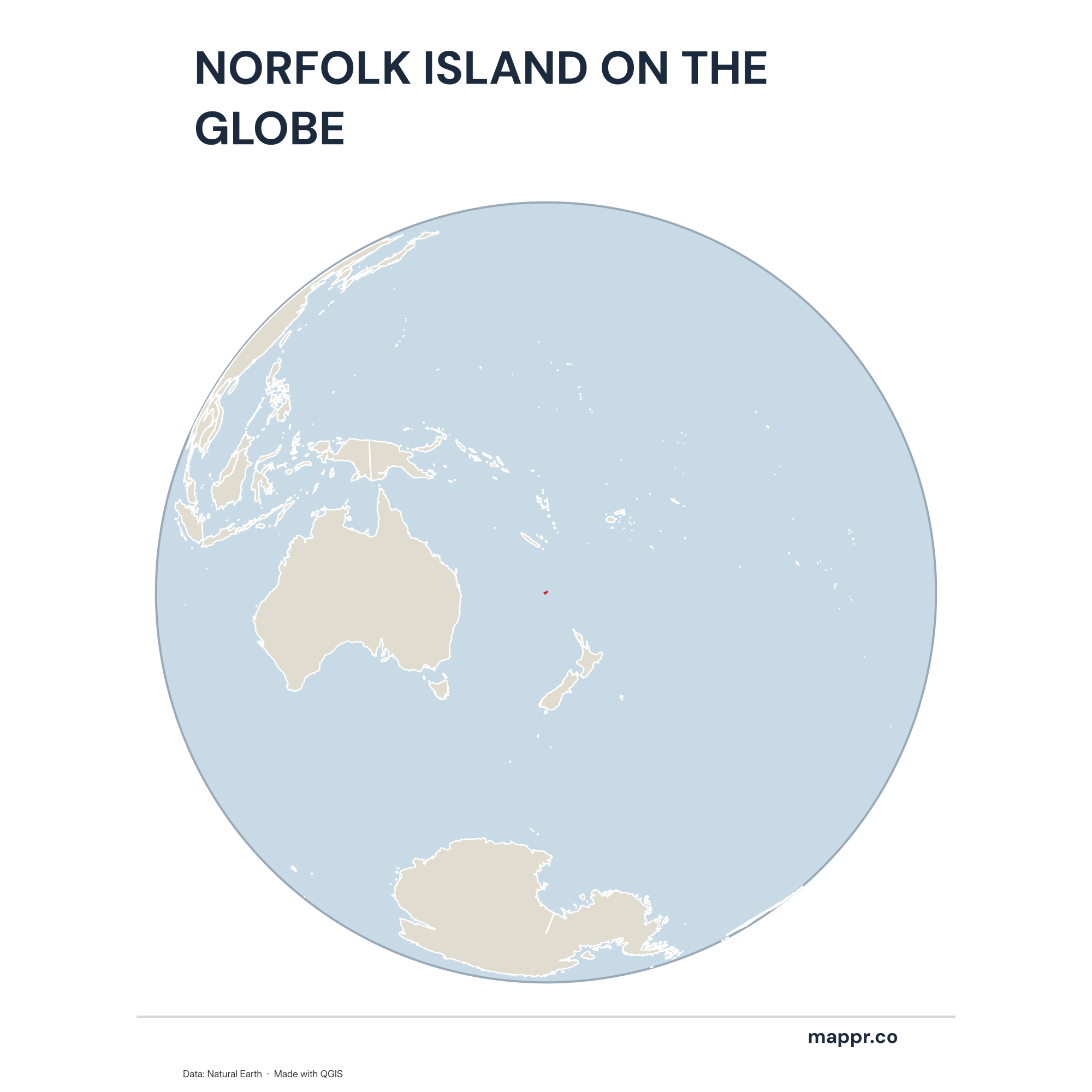
Norfolk Island Country Location Globe – Color
A map highlighting Norfolk Island’s location on a globe, marked with a red outline.
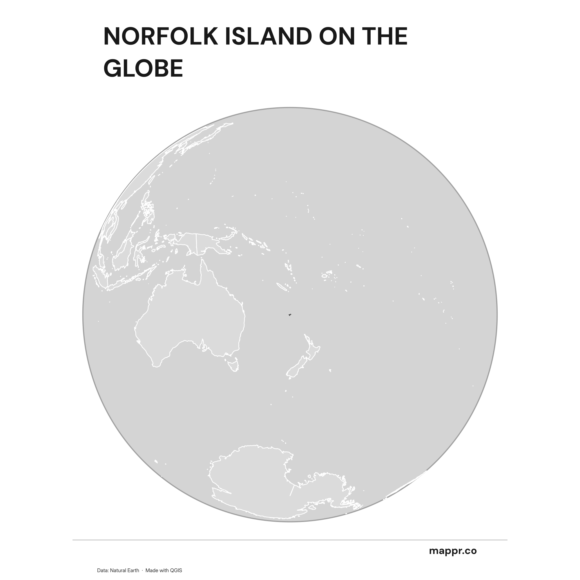
Norfolk Island Country Location Globe – Black & White
A map highlighting Norfolk Island’s location on a globe, marked with a red outline (black and white).
Norfolk Island’s Position on the Oceanian Continent
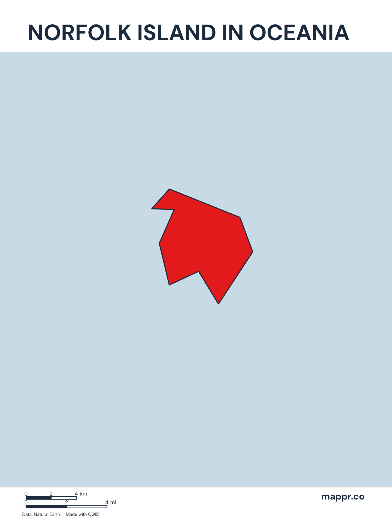
Norfolk Island’s Position on the Oceanian Continent – Color
A map highlighting Norfolk Island’s location on the oceanian continent.
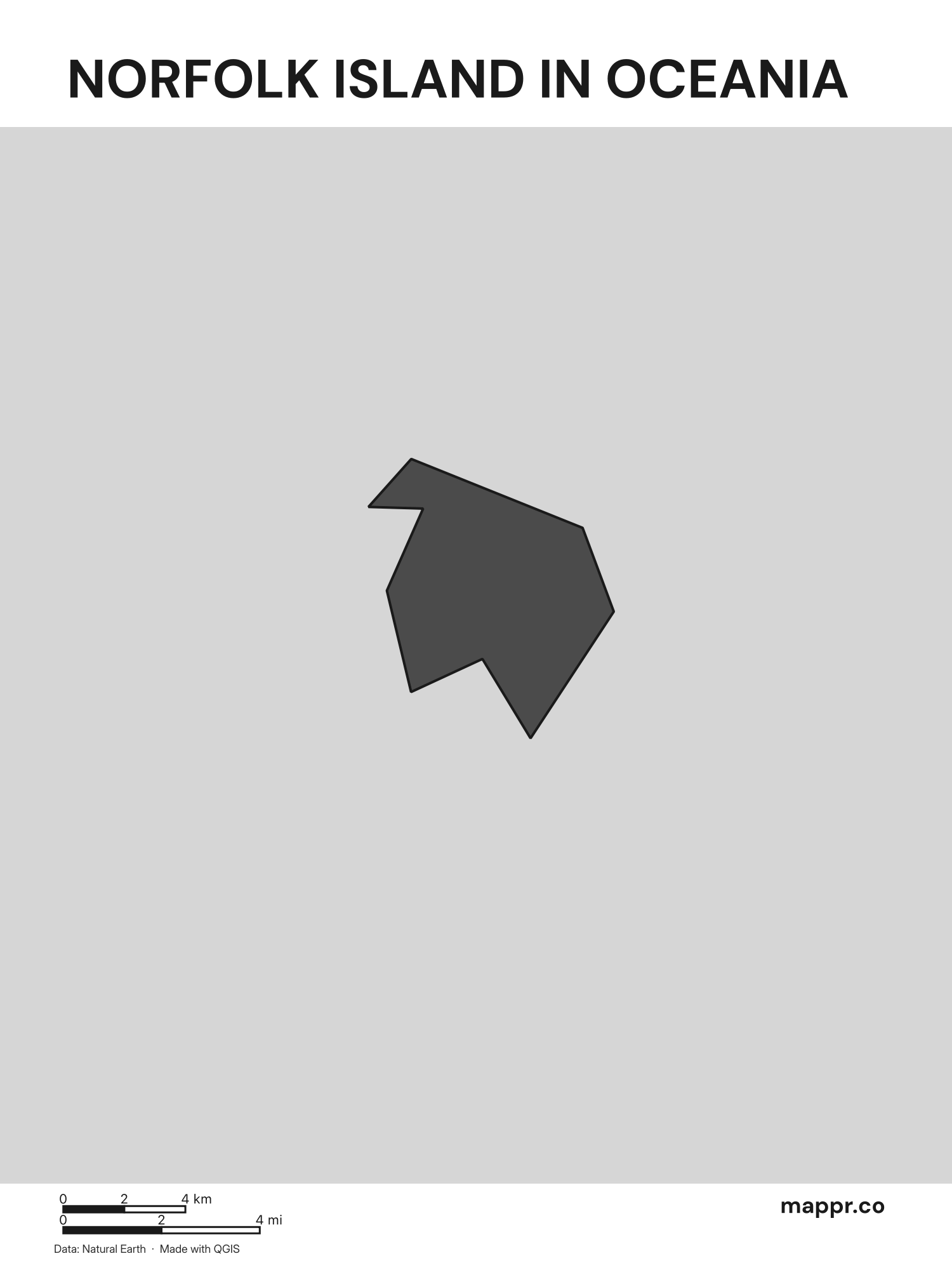
Norfolk Island’s Position on the Oceanian Continent – Black & White
A map highlighting Norfolk Island’s location on the oceanian continent (black and white).
Norfolk Island Outline Maps
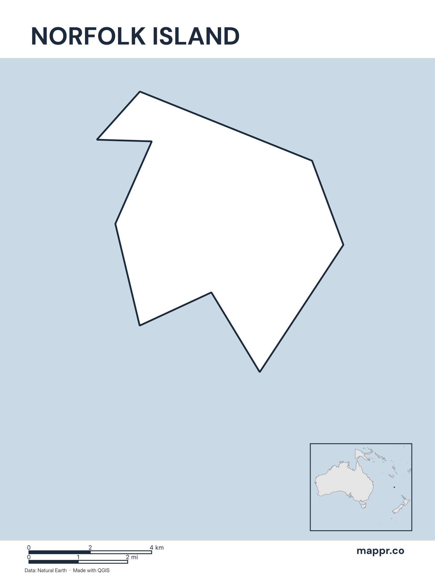
Norfolk Island Outline Map – Color
Outline map of Norfolk Island with detailed country borders.
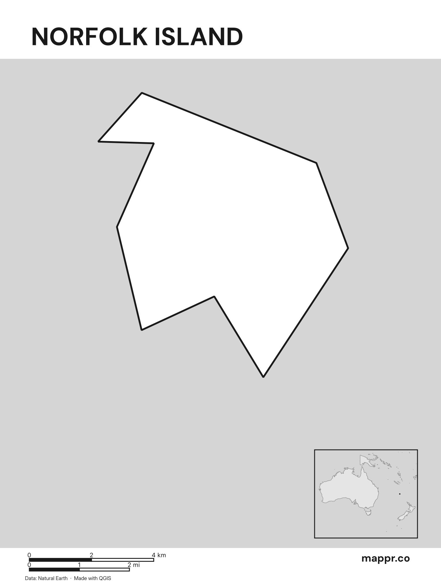
Norfolk Island Outline Map – Black & White
Outline map of Norfolk Island with detailed country borders (black and white).
Blank Outline Maps of Norfolk Island
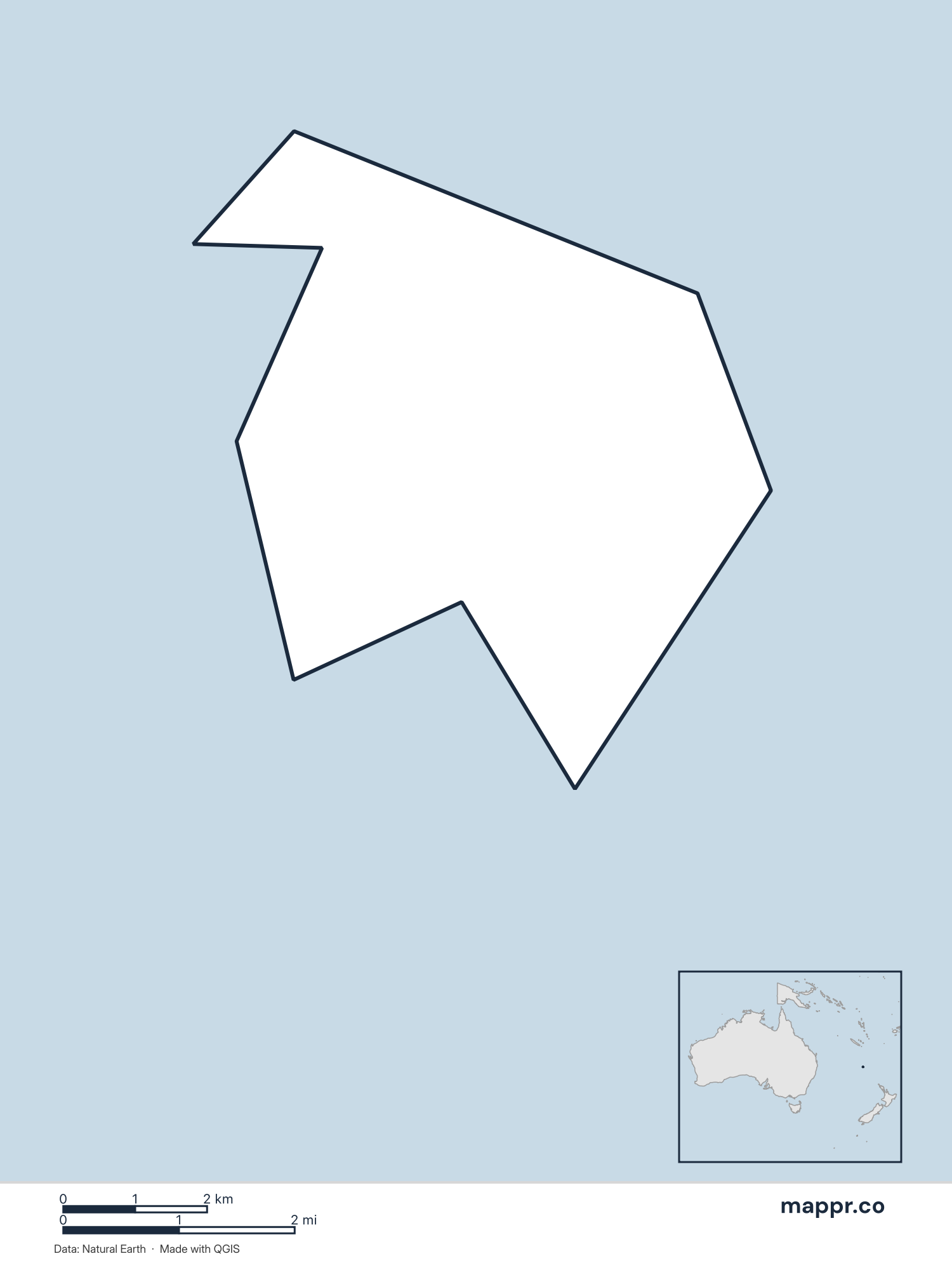
Norfolk Island Blank Map – Color
Blank political map of Norfolk Island showing its international borders without labels.
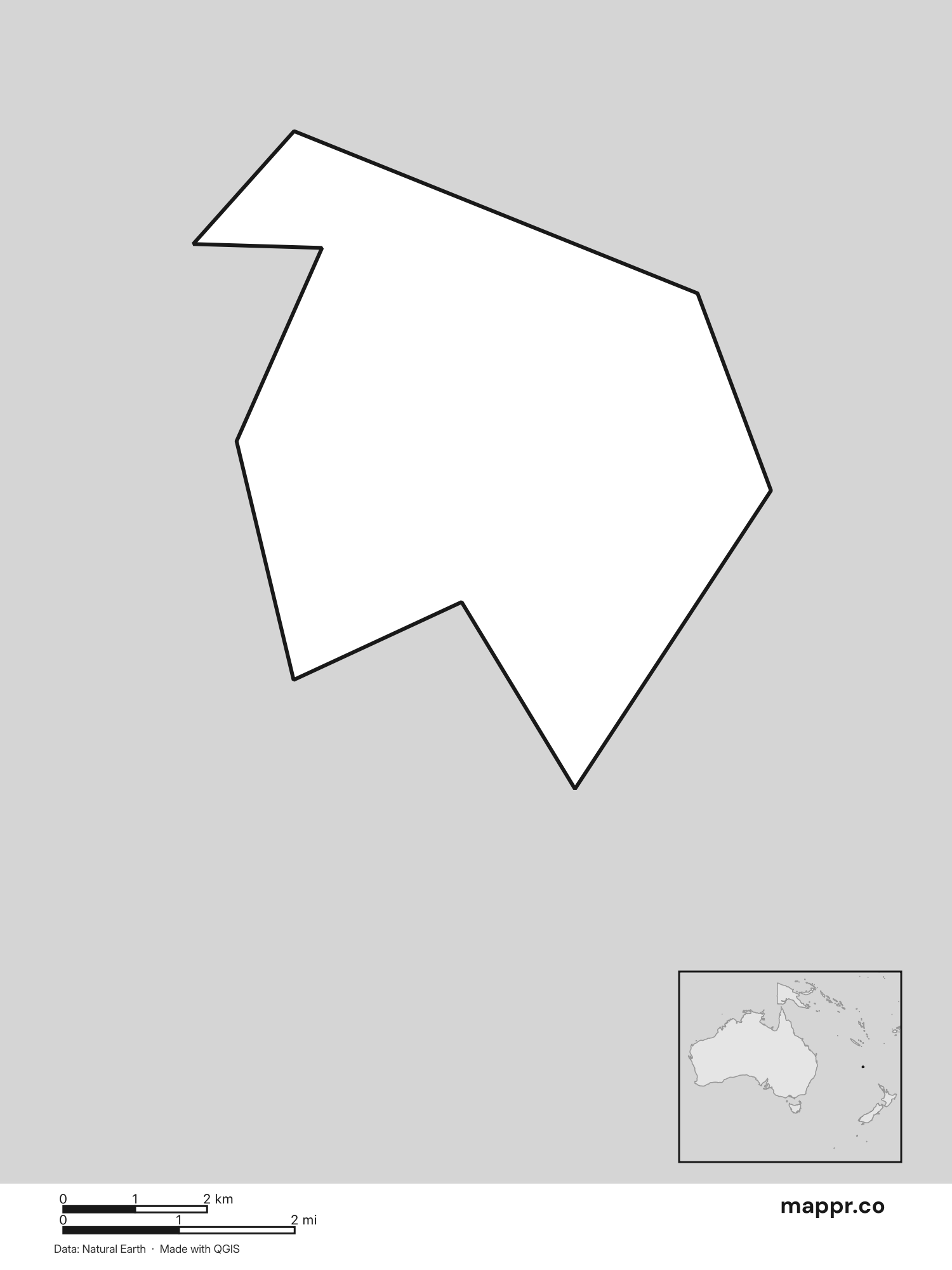
Norfolk Island Blank Map – Black & White
Blank political map of Norfolk Island showing its international borders without labels (black and white).
Norfolk Island Capital Location Maps
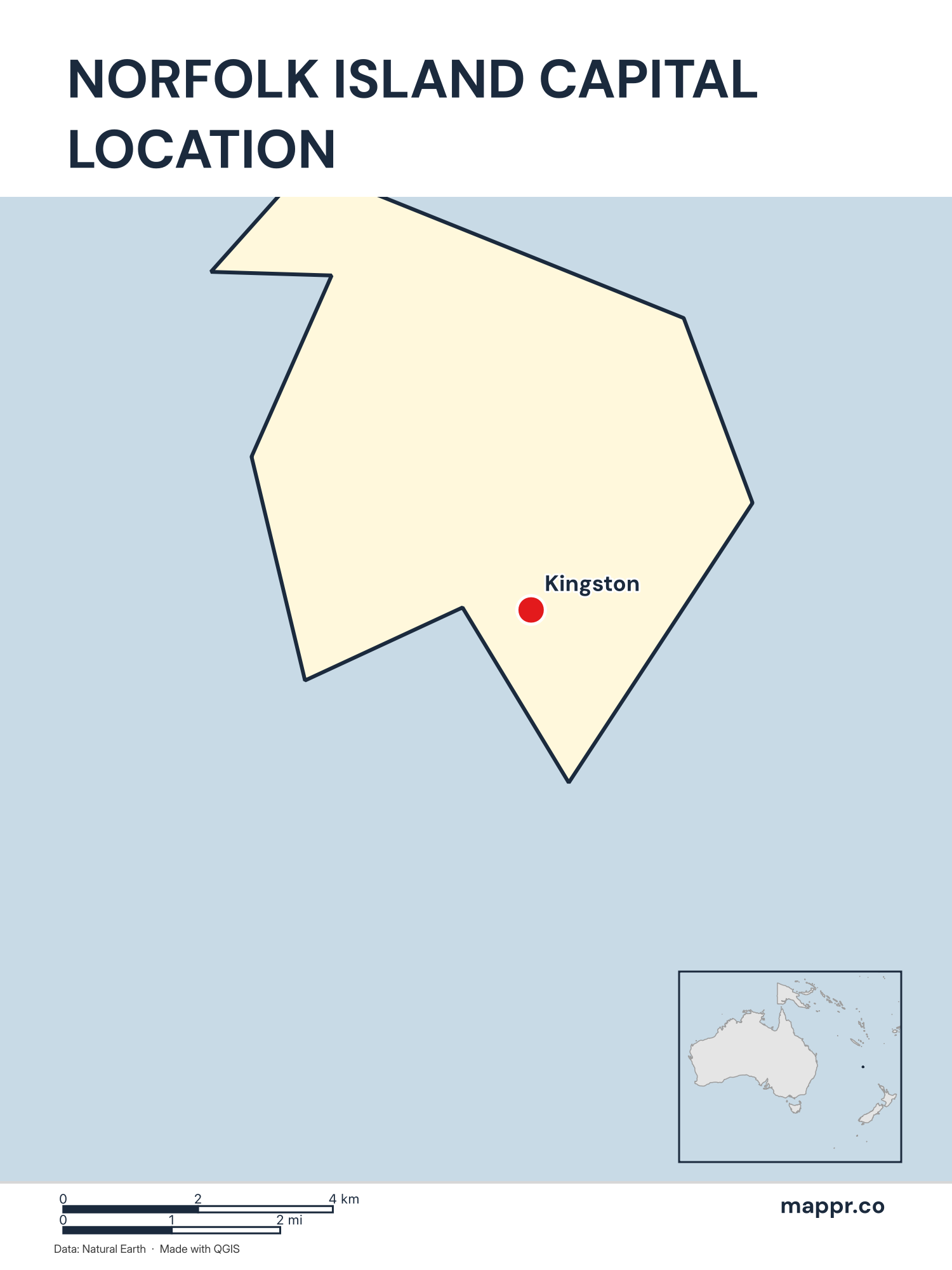
Norfolk Island Capital Location Map – Color
Detailed map pinpointing Kingston, the capital of Norfolk Island.
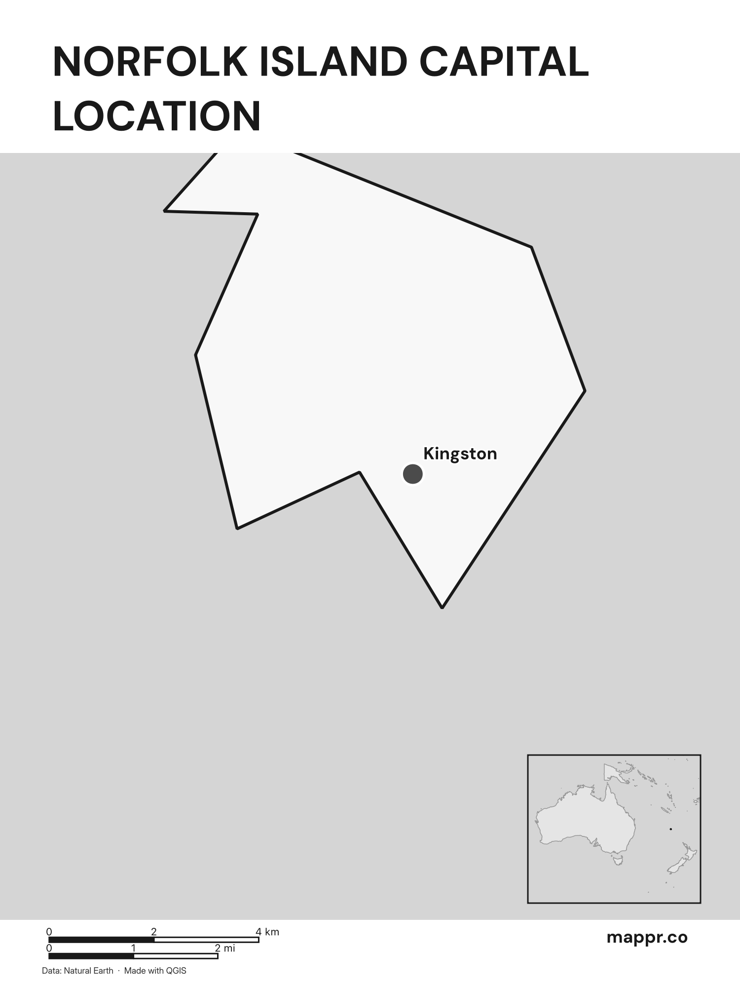
Norfolk Island Capital Location Map – Black & White
Detailed map pinpointing Kingston, the capital of Norfolk Island (black and white).
Norfolk Island Capital Location Maps with Geographical Features
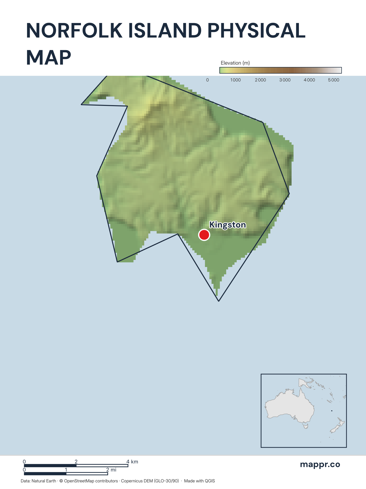
Norfolk Island Capital Location Map with Raster – Color
Map featuring Kingston, the capital of Norfolk Island, with rich topographical detail.
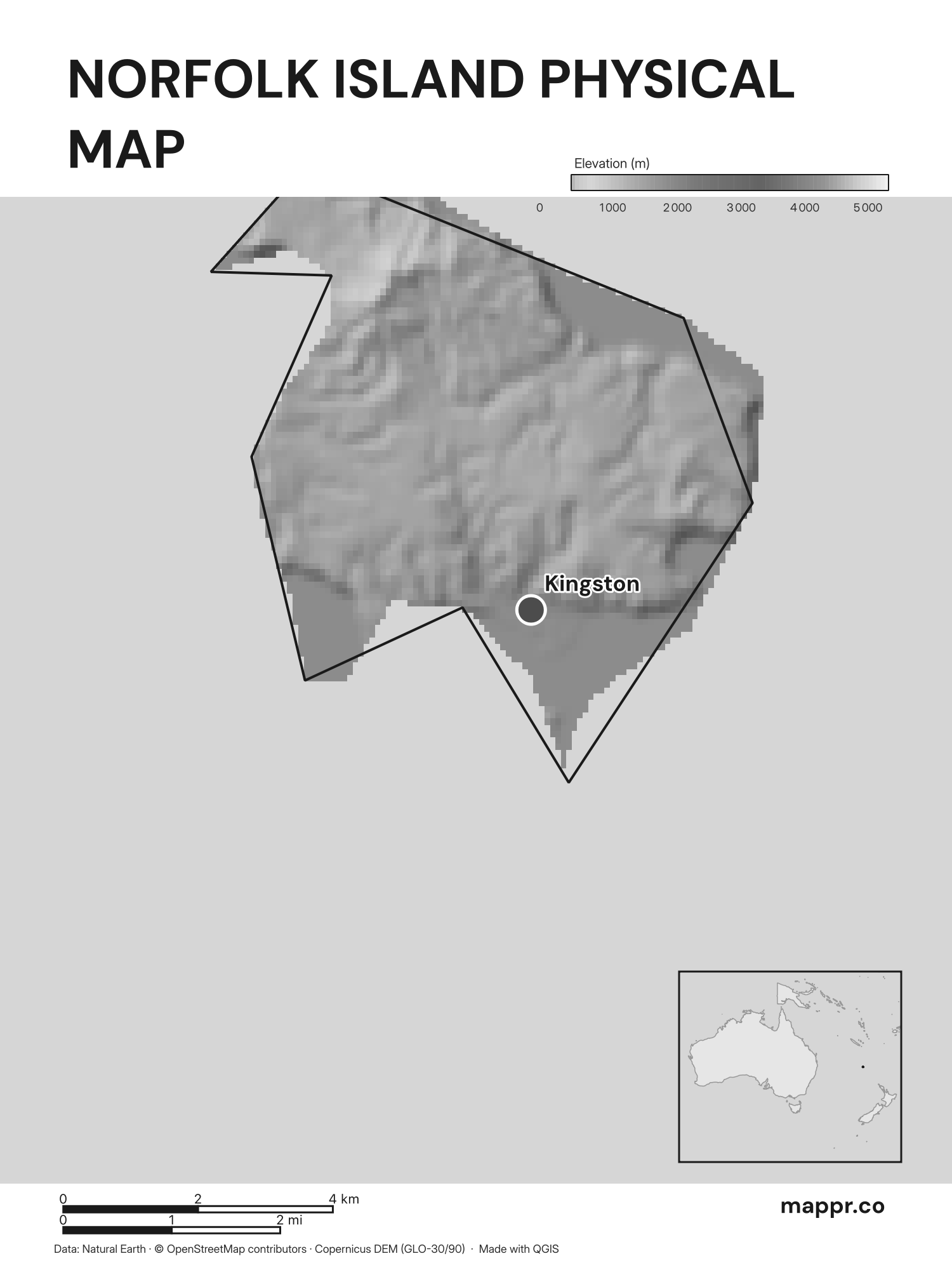
Norfolk Island Capital Location Map with Raster – Black & White
Map featuring Kingston, the capital of Norfolk Island, with rich topographical detail (black and white).
This license requires attribution and mandates that adaptations be shared under identical terms.
